
Dirt Bike Trails
Near Orangeburg, South Carolina
Explore All Dirt Bike Trails Near Orangeburg, South Carolina
Dirt Bike Trails Near Orangeburg, South Carolina
Discover the best dirt bike trails near you. Browse trail maps, check difficulty ratings, and find your next adventure — whether you're looking for a quick ride or an all-day expedition.
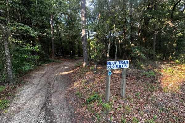
Inner Loop
The Manchester State Forest Inner Loop single track is ridden counterclockwise . It features mostly flat terrain with a hard-packed surface, mixed with pine needles and some sections of loose sand. Riders will encounter plenty of whoops, twists, and berms along the route. Please note that this trail...
Learn more about Inner Loop
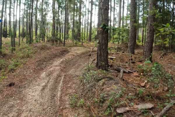
Outerloop
The Manchester State Forest Outer Loop trail is ridden in a counterclockwise direction. This flat trail offers both 50-inch and single-track routes, featuring half hard-packed surfaces mixed with pine needles and soft, loose flat sand. Riders can expect some sweeping turns and sandy whoops along the...
Learn more about Outerloop

Green Loop
The Manchester State Forest Green Loop is a clockwise single-track trail. It features hard-packed sand with pine needles, tight turns, and plenty of whoops. A $5 per day or $25 annual permit is required; you can pay using an envelope at the staging area or online. Also, be on the lookout for alliga...
Learn more about Green Loop
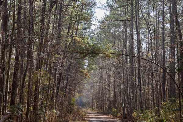
FSR115 - Bonneau Road
This trail, like many others in Francis Marion National Forest, traverses the upland hardwood forest, where wildlife is often spotted. It starts at one of the Palmetto Trail intersections and runs parallel to it for most of the way. The road is flat, with occasional muddy puddles, but there are no m...
Learn more about FSR115 - Bonneau Road
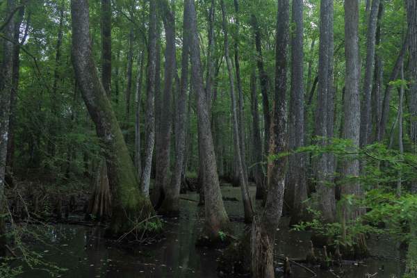
Briarpatch Lake Access
This route is entirely within the Tuckahoe Wildlife Management Area, a 15,000-acre property bordering the Savannah River. A fishing and/or hunting license is required to legally enter the property and can be obtained via georgiawildlife.com/tuckahoe-wma. Camping is only permitted in one of the two d...
Learn more about Briarpatch Lake Access
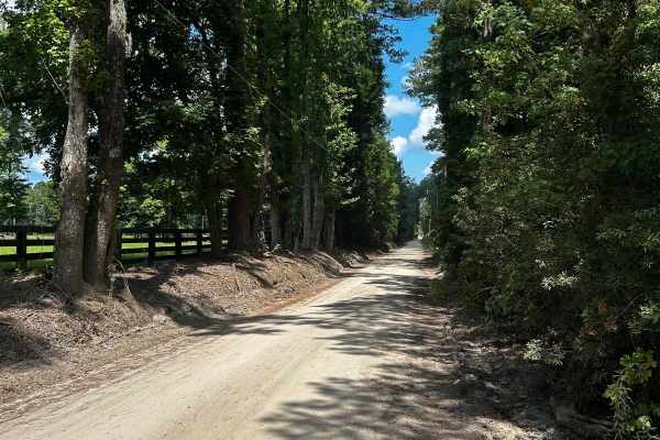
County Line Road
County Line Road is a scenic off-road route that traces the boundary between Charleston and Dorchester counties. This backcountry road features a mix of sand, red clay, and gravel surfaces, offering varied terrain that changes with the weather. When dry, sections can become extremely dusty. After he...
Learn more about County Line Road
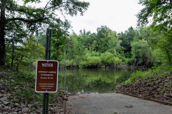
Savannah River Access
This route is entirely within the Tuckahoe Wildlife Management Area, a 15,000-acre property bordering the Savannah River. A fishing and/or hunting license is required to legally enter the property and can be obtained via georgiawildlife.com/tuckahoe-wma. Camping is only permitted in one of the two d...
Learn more about Savannah River Access
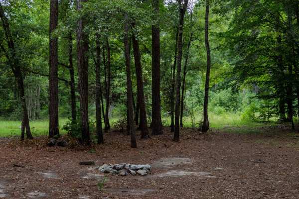
Greenwood Church Road
This route is entirely within the Tuckahoe Wildlife Management Area, a 15,000-acre property bordering the Savannah River. A fishing and/or hunting license is required to legally enter the property and can be obtained via georgiawildlife.com/tuckahoe-wma. Camping is only permitted in one of the two d...
Learn more about Greenwood Church Road
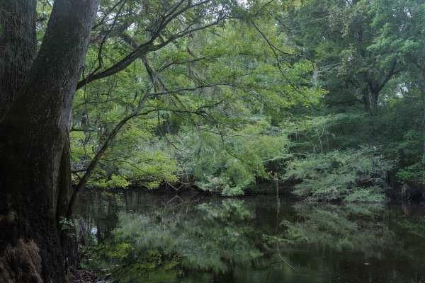
Collard Patch Lake Access
This route is entirely within the Tuckahoe Wildlife Management Area, a 15,000-acre property bordering the Savannah River. A fishing and/or hunting license is required to legally enter the property and can be obtained via georgiawildlife.com/tuckahoe-wma. Camping is only permitted in one of the two d...
Learn more about Collard Patch Lake Access
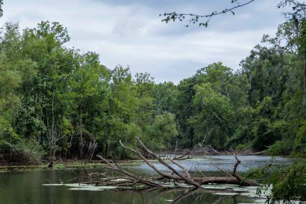
River Road
This route is entirely within the Tuckahoe Wildlife Management Area, a 15,000-acre property bordering the Savannah River. A fishing and/or hunting license is required to legally enter the property and can be obtained via georgiawildlife.com/tuckahoe-wma. Camping is only permitted in one of the two d...
Learn more about River Road
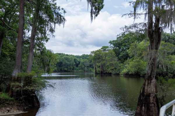
Miller Lake Access
This route is entirely within the Tuckahoe Wildlife Management Area, a 15,000-acre property bordering the Savannah River. A fishing and/or hunting license is required to legally enter the property and can be obtained via georgiawildlife.com/tuckahoe-wma. Camping is only permitted in one of the two d...
Learn more about Miller Lake Access
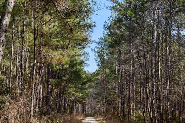
FSR6034 - Wiggins Road
The Francis Marion National Forest is located north of Charleston, South Carolina. It is named for revolutionary war hero Francis Marion, who was known to the British as the Swamp Fox. It lies entirely within the Middle Atlantic coastal forests ecoregion. The park is also entirely in a subtropical c...
Learn more about FSR6034 - Wiggins Road

FSR198 - Callum Road
This trail, like many others in Francis Marion National Forest, traverses the upland hardwood forest, where wildlife is often spotted. It starts at one of the Palmetto Trail intersections and runs parallel to it for most of the way. The road is flat, with occasional muddy puddles, but there are no m...
Learn more about FSR198 - Callum Road
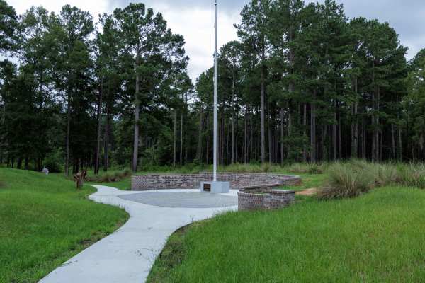
Brier Creek Access
This route is entirely within the Tuckahoe Wildlife Management Area, a 15,000-acre property bordering the Savannah River. A fishing and/or hunting license is required to legally enter the property and can be obtained via georgiawildlife.com/tuckahoe-wma. Camping is only permitted in one of the two d...
Learn more about Brier Creek Access
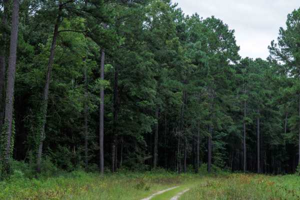
Clay Hill
This route is entirely within the Tuckahoe Wildlife Management Area, a 15,000-acre property bordering the Savannah River. A fishing and/or hunting license is required to legally enter the property and can be obtained via georgiawildlife.com/tuckahoe-wma. Camping is only permitted in one of the two d...
Learn more about Clay Hill
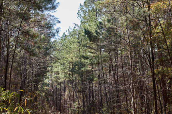
FSR128 - Wadboo Loop
This trail, like many others in Francis Marion National Forest, traverses the upland hardwood forest, a haven for wildlife. It begins at one of the Palmetto Trail intersections and runs parallel to it for most of the journey. The road is flat, with occasional muddy puddles, but there are no signific...
Learn more about FSR128 - Wadboo Loop
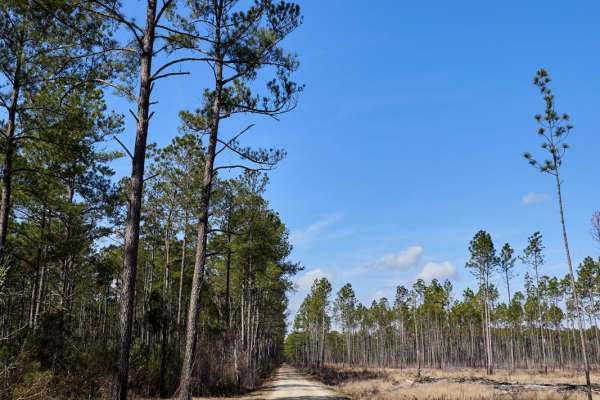
FSR108 - Bullhead Road
The Francis Marion National Forest is located north of Charleston, South Carolina. It is named for revolutionary war hero Francis Marion, who was known to the British as the Swamp Fox. It lies entirely within the Middle Atlantic coastal forests ecoregion. The park is also entirely in a subtropical c...
Learn more about FSR108 - Bullhead Road
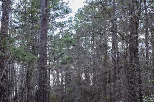
FSR134 - Wright Road
This trail, like many others in Francis Marion National Forest, traverses the upland hardwood forest, where wildlife is often spotted. The road is flat, with occasional muddy puddles, but there are no major obstacles. Unfortunately, Francis Marion National Forest has been littered with trash in rece...
Learn more about FSR134 - Wright Road
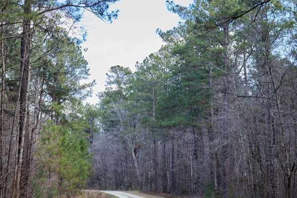
FSR124 - Freeman Road
This trail, like many others in Francis Marion National Forest, traverses the upland hardwood forest, where wildlife is often spotted. This trail is vital in providing an access point to the South Carolina Adventure Route across Walleye Bay. The road is flat, with occasional muddy puddles, but there...
Learn more about FSR124 - Freeman Road
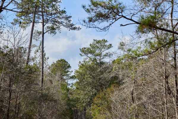
FSR 133 - Cane Gully Loop
The Francis Marion National Forest is located north of Charleston, South Carolina. It is named for revolutionary war hero Francis Marion, who was known to the British as the Swamp Fox. It lies entirely within the Middle Atlantic coastal forests ecoregion. The park is also entirely in a subtropical c...
Learn more about FSR 133 - Cane Gully Loop
ATV trails near Orangeburg, South Carolina
Explore ATV-friendly trails near you. These trails are accessible for vehicles up to 50 inches wide, perfect for ATVs and smaller off-road machines.
Outerloop
The Manchester State Forest Outer Loop trail is ridden in a counterclockwise direction. This flat trail offers both 50-inch and single-track routes, featuring half hard-packed surfaces mixed with pine needles and soft, loose flat sand. Riders can expect some sweeping turns and sandy whoops along the...
Learn more about Outerloop
FSR115 - Bonneau Road
This trail, like many others in Francis Marion National Forest, traverses the upland hardwood forest, where wildlife is often spotted. It starts at one of the Palmetto Trail intersections and runs parallel to it for most of the way. The road is flat, with occasional muddy puddles, but there are no m...
Learn more about FSR115 - Bonneau Road
Briarpatch Lake Access
This route is entirely within the Tuckahoe Wildlife Management Area, a 15,000-acre property bordering the Savannah River. A fishing and/or hunting license is required to legally enter the property and can be obtained via georgiawildlife.com/tuckahoe-wma. Camping is only permitted in one of the two d...
Learn more about Briarpatch Lake Access
County Line Road
County Line Road is a scenic off-road route that traces the boundary between Charleston and Dorchester counties. This backcountry road features a mix of sand, red clay, and gravel surfaces, offering varied terrain that changes with the weather. When dry, sections can become extremely dusty. After he...
Learn more about County Line Road
UTV/side-by-side trails near Orangeburg, South Carolina
Find UTV and side-by-side trails near you. These trails accommodate vehicles up to 60 inches wide, ideal for UTVs, side-by-sides, and wider off-road rigs.
FSR115 - Bonneau Road
This trail, like many others in Francis Marion National Forest, traverses the upland hardwood forest, where wildlife is often spotted. It starts at one of the Palmetto Trail intersections and runs parallel to it for most of the way. The road is flat, with occasional muddy puddles, but there are no m...
Learn more about FSR115 - Bonneau Road
Briarpatch Lake Access
This route is entirely within the Tuckahoe Wildlife Management Area, a 15,000-acre property bordering the Savannah River. A fishing and/or hunting license is required to legally enter the property and can be obtained via georgiawildlife.com/tuckahoe-wma. Camping is only permitted in one of the two d...
Learn more about Briarpatch Lake Access
County Line Road
County Line Road is a scenic off-road route that traces the boundary between Charleston and Dorchester counties. This backcountry road features a mix of sand, red clay, and gravel surfaces, offering varied terrain that changes with the weather. When dry, sections can become extremely dusty. After he...
Learn more about County Line Road
Savannah River Access
This route is entirely within the Tuckahoe Wildlife Management Area, a 15,000-acre property bordering the Savannah River. A fishing and/or hunting license is required to legally enter the property and can be obtained via georgiawildlife.com/tuckahoe-wma. Camping is only permitted in one of the two d...
Learn more about Savannah River Access
The onX Offroad Difference
onX Offroad combines trail photos, descriptions, difficulty ratings, width restrictions, seasonality, and more in a user-friendly interface. Available on all devices, with offline access and full compatibility with CarPlay and Android Auto. Discover what you're missing today!
Open Trail Map