
Dirt Bike Trails
Near McDowell, Kentucky
Explore All Dirt Bike Trails Near McDowell, Kentucky
Dirt Bike Trails Near McDowell, Kentucky
Discover the best dirt bike trails near you. Browse trail maps, check difficulty ratings, and find your next adventure — whether you're looking for a quick ride or an all-day expedition.
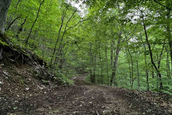
Wild Horse Trail (Lige Hollow)
This trail begins at an abandoned coal mine, twisting back and forth through a covered forest as it makes its way to the top of a regrown strip mine full of roaming wild horses. After seeing the horses and the view from the top of the mountain you'll begin to make your way back down the other side. ...
Learn more about Wild Horse Trail (Lige Hollow)

Valley Trail
This scenic and well-maintained hillside trail travels through dense vegetation and mature forest, offering excellent wildlife viewing, seasonal wildflowers, and berry patches along the way. The route is short and easy, featuring a mostly smooth surface with only light rocky sections. Riders can enj...
Learn more about Valley Trail
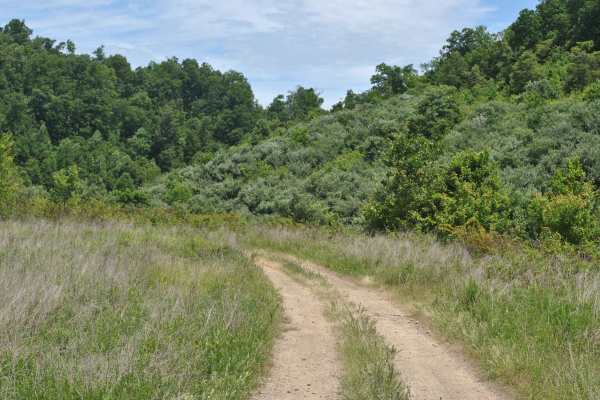
19
Trail 19 is a green trail and it is mainly grass and dirt. The track is relatively flat with no mudholes. This trail is used as a connector trail and brings you back to trail 0. You can ride this track in 2WD, and it is suitable for most OHVs and some high-clearance 2WD.
Learn more about 19
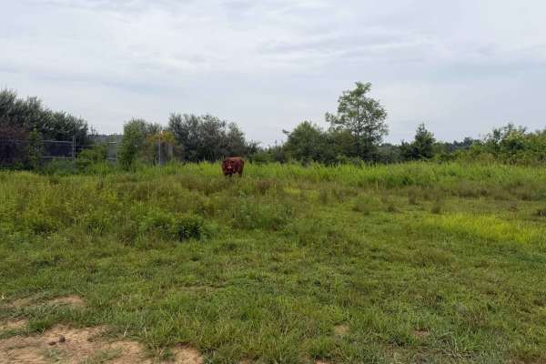
14
This trail begins with loose rock and dirt, with overgrown, low-hanging branches along the route. Rocky inclines add some challenge, while dense vegetation can obstruct views. The short loop connects Trail 22 and Trail 12 before returning to Trail 10, making it a good option for beginners and provid...
Learn more about 14
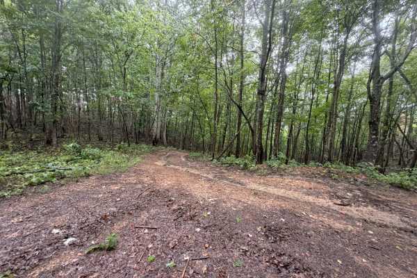
22
You must access Trail 11 to begin this trail with an immediate incline that may require 4x4; it flattens out briefly and then has another immediate incline that requires 4x4. This trail has rocks, mud, and dirt with a higher incline. This trail also includes large mud holes, low-hanging branches, an...
Learn more about 22
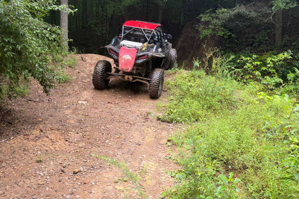
18-A
This trail cuts off the main Trail 10. It is hard to see if you're not looking due to the overgrowth and high grass. This is a short trail that ends at Trail 12; there are no rocks or ruts due to the lack of traffic on this section of trail.
Learn more about 18-A
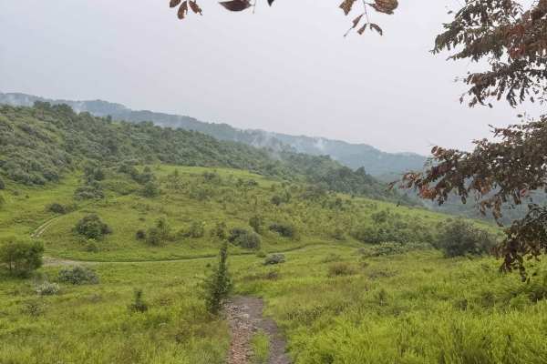
13
This trail cuts off the main Trail 10. It is hard to see if you're not looking due to the overgrowth and high grass. This is a short trail that turns directly into Trail 15; there are no rocks or ruts due to the lack of traffic on this section of trail.
Learn more about 13
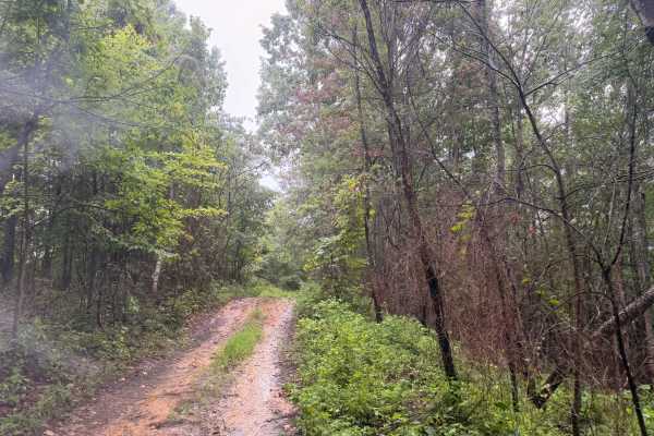
12
Trail 12 comes off of Trail 22 and 11. This trail follows along the ridge. It includes inclines, large mud holes, as well as some low-hanging branches. As you descend the trail and hill, there are nice views of a large valley. This section also contains large rocks and may require a 4x4 to climb.
Learn more about 12
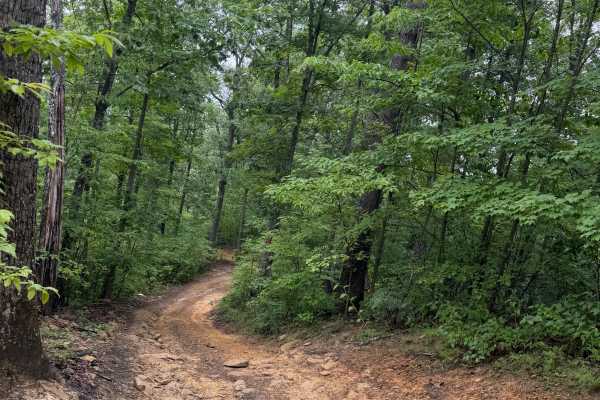
16
Trail 16 begins directly off of 18. There is no turn or intersection, simply the drop over the hill, which eventually links with 14. There is ruts, loose rock and mud. The hill may require 4x4. There are overgrown branches and grass along the trail, trail center and sides. Nice little climb, great f...
Learn more about 16
25A
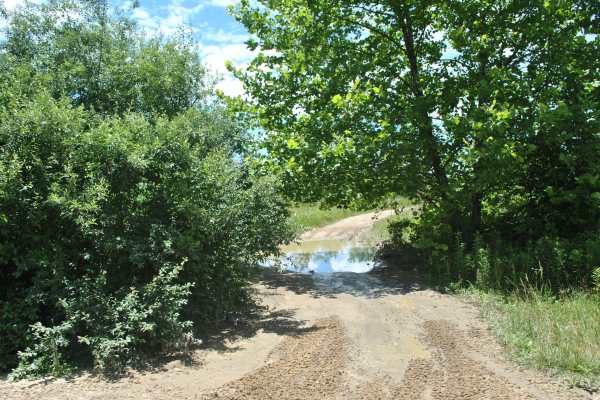
This trail is rated blue mainly because of the numerous mudholes to navigate. The surface is mostly dirt and compacted rock. The trail was run in 2WD, but be ready to use 4WD depending on trail conditions and weather. This is a shelf road below the campground, and it will end with a small hill climb...
Learn more about 25A
11-A
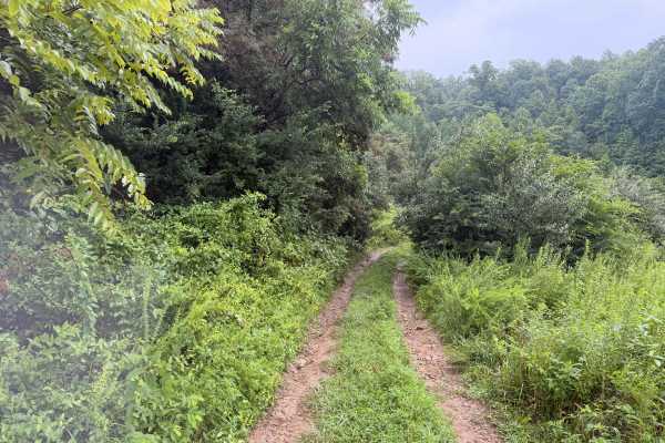
The trail begins with loose rock and dirt; there are overgrown, low-hanging branches. The trail has an incline; views are obstructed by the overgrowth, and it makes a loop linking Trail 22 and 12, then back to Trail 10. Short trail, great for beginners, and very close to the main campground.
Learn more about 11-A
15
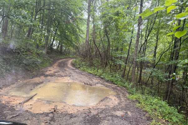
Trail 15 begins directly off of 13. There is no turn or intersection, simply the drop over the hill, which eventually links with 16. There are ruts, loose rock, and mud. The hill may require a 4x4. There are overgrown branches and grass along the trail, the trail center, and the sides. It's a nice l...
Learn more about 15
10
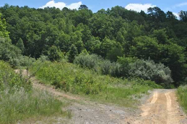
Trail 10 is a green trail, and the surface is primarily dirt. It seems tight and overgrown by brush in a few places, but overall, it is wide enough for a full-size vehicle to pass. There are a few mudholes to cross, so 4WD may be needed in places. Just be mindful before hitting those and be in 4WD b...
Learn more about 10

Oval Ridge
This short and easy hillside trail travels through dense vegetation and mature timber, offering excellent wildlife viewing, scenic overlooks, and seasonal displays of wildflowers and berries. The route is well maintained, with a clean surface and only minor rocky sections, making it accessible for A...
Learn more about Oval Ridge
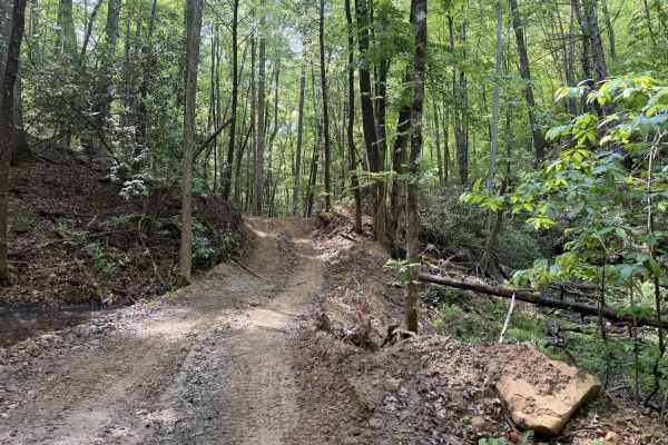
Big Rock Bottom
A nice cutoff from another trail to view this beautiful boulder. There is loose dirt, a mild incline, and it ends in an opening with a valley view. The boulder is very large, with a bit of overhang, a great place to catch a few good pics of your group. This trail has potential for extensions; at thi...
Learn more about Big Rock Bottom
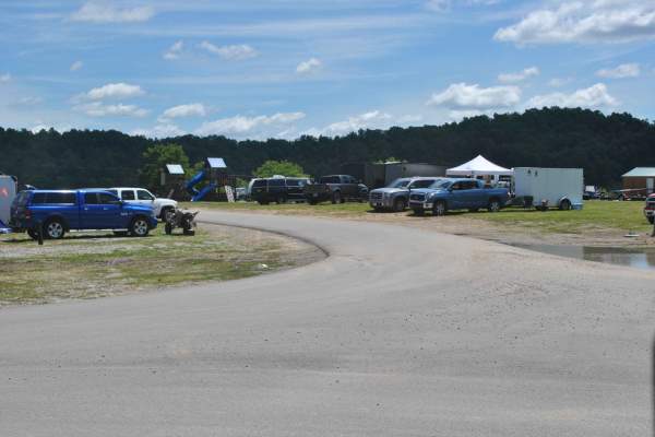
Campground Road
This track is an access road through the campground area. The first part close to the park office is paved, and then it turns into a dirt road. You can use this road to access all parts of the campground area and the trails that are part of the northeast area of the park. It can be muddy in places, ...
Learn more about Campground Road
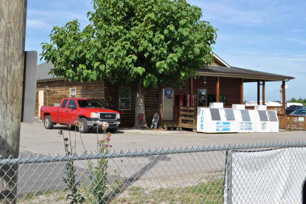
1
Beginning at the park's General Store, Trail 1 starts out on a paved road. Moving along through the track, it turns into a gravel road. The trail remains gravel through most of its length. The road gets quite dusty, so wear eye protection if you are not in an enclosed cab. This is a 5-mile track tha...
Learn more about 1

Hillside Trail
This well-maintained trail winds through dense vegetation and offers abundant wildlife viewing opportunities, scenic hillside vistas, and seasonal wildflowers and berries. The route features a smooth surface with only minor rocky sections, making it approachable for a wide range of users. The trail ...
Learn more about Hillside Trail
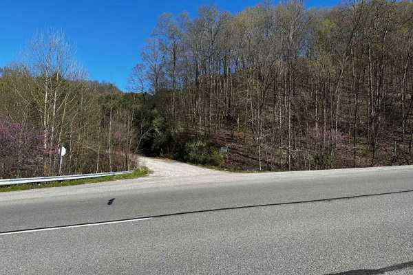
Flat Fork
This is the alternate entrance to Hillbilly Trails of Pike County. It's a gravel road that leads to Trail 23 of Hillbilly Trails. Once you get to the top there are a lot of trails that is developed and many more to develop. There's plenty of primitive camping available with nearly 6,000 acres in the...
Learn more about Flat Fork
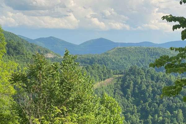
Trail 23 - Flatwoods Road
Trail 23 is the main artery for the Dorton/Flatwoods Area of the new Pike County Hillbilly Trails System. Trail 23 is a wide, graded dirt and gravel access road for an array of utilities and other infrastructure located on Caney Mountain. This trail can be driven with basic 4x4 and street tires when...
Learn more about Trail 23 - Flatwoods Road
ATV trails near McDowell, Kentucky
Explore ATV-friendly trails near you. These trails are accessible for vehicles up to 50 inches wide, perfect for ATVs and smaller off-road machines.
Wild Horse Trail (Lige Hollow)
This trail begins at an abandoned coal mine, twisting back and forth through a covered forest as it makes its way to the top of a regrown strip mine full of roaming wild horses. After seeing the horses and the view from the top of the mountain you'll begin to make your way back down the other side. ...
Learn more about Wild Horse Trail (Lige Hollow)
Valley Trail
This scenic and well-maintained hillside trail travels through dense vegetation and mature forest, offering excellent wildlife viewing, seasonal wildflowers, and berry patches along the way. The route is short and easy, featuring a mostly smooth surface with only light rocky sections. Riders can enj...
Learn more about Valley Trail
19
Trail 19 is a green trail and it is mainly grass and dirt. The track is relatively flat with no mudholes. This trail is used as a connector trail and brings you back to trail 0. You can ride this track in 2WD, and it is suitable for most OHVs and some high-clearance 2WD.
Learn more about 19
14
This trail begins with loose rock and dirt, with overgrown, low-hanging branches along the route. Rocky inclines add some challenge, while dense vegetation can obstruct views. The short loop connects Trail 22 and Trail 12 before returning to Trail 10, making it a good option for beginners and provid...
Learn more about 14
UTV/side-by-side trails near McDowell, Kentucky
Find UTV and side-by-side trails near you. These trails accommodate vehicles up to 60 inches wide, ideal for UTVs, side-by-sides, and wider off-road rigs.
Wild Horse Trail (Lige Hollow)
This trail begins at an abandoned coal mine, twisting back and forth through a covered forest as it makes its way to the top of a regrown strip mine full of roaming wild horses. After seeing the horses and the view from the top of the mountain you'll begin to make your way back down the other side. ...
Learn more about Wild Horse Trail (Lige Hollow)
Valley Trail
This scenic and well-maintained hillside trail travels through dense vegetation and mature forest, offering excellent wildlife viewing, seasonal wildflowers, and berry patches along the way. The route is short and easy, featuring a mostly smooth surface with only light rocky sections. Riders can enj...
Learn more about Valley Trail
19
Trail 19 is a green trail and it is mainly grass and dirt. The track is relatively flat with no mudholes. This trail is used as a connector trail and brings you back to trail 0. You can ride this track in 2WD, and it is suitable for most OHVs and some high-clearance 2WD.
Learn more about 19
14
This trail begins with loose rock and dirt, with overgrown, low-hanging branches along the route. Rocky inclines add some challenge, while dense vegetation can obstruct views. The short loop connects Trail 22 and Trail 12 before returning to Trail 10, making it a good option for beginners and provid...
Learn more about 14
The onX Offroad Difference
onX Offroad combines trail photos, descriptions, difficulty ratings, width restrictions, seasonality, and more in a user-friendly interface. Available on all devices, with offline access and full compatibility with CarPlay and Android Auto. Discover what you're missing today!
Open Trail Map