
Dirt Bike Trails
Near Lublin, Wisconsin
Explore All Dirt Bike Trails Near Lublin, Wisconsin
Dirt Bike Trails Near Lublin, Wisconsin
Discover the best dirt bike trails near you. Browse trail maps, check difficulty ratings, and find your next adventure — whether you're looking for a quick ride or an all-day expedition.
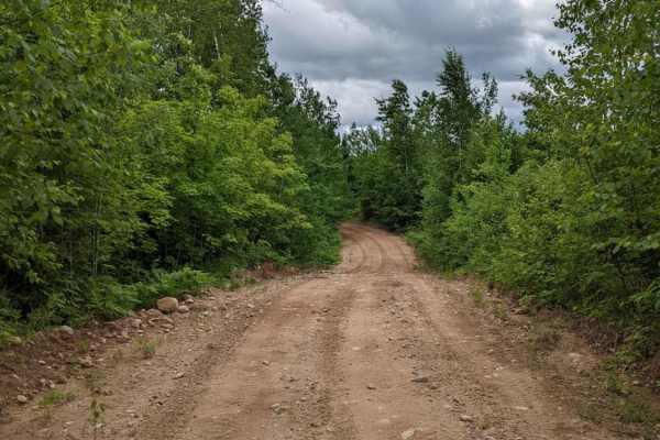
Tuscobia State Trail - Park Falls to Loretta
The Tuscobia State Trail runs a total of 74 Miles. This leg is 19 miles but connects to a massive trail system that you can jump onto at a bunch of different intersections. There are a few more stops than normal due to all of those intersections, but it is worth it if you want a day of exploring the...
Learn more about Tuscobia State Trail - Park Falls to Loretta
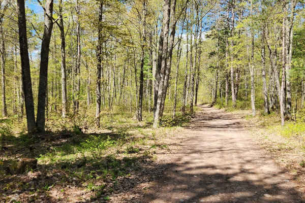
Wildcat Loop
The trail winds through wooded areas with mainly gravel and rocks and a mix of sand, offering a mix of natural beauty and light technical terrain.
It’s ideal for a quick loop or as part of a larger off-road outing in the Black River State Forest area. Also, a nice Parking area within miles of this l...
Learn more about Wildcat Loop
Parrish Mini Loop
Small trail loop near the Parrish Trail Head. Easy going, with a nice stop at the shelter located lakeside that has a water pump and bathroom. On a slow ride, this should only take 15 to 20 minutes to complete and breaks up the day with a more curvy trail.
Learn more about Parrish Mini Loop
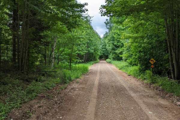
Half Nelson - West
Easy driving through rolling hills and forest. Most of the trail will fit two lanes of traffic, but there are many tight corners to watch for. This is mostly a gravel trail, so it will get dusty once the area dries out. There are a few turnout spots to take a break from the day and stay out of the w...
Learn more about Half Nelson - West

Nelson Fire Shortcut
This is a mostly single-lane gravel trail. Will be dry most of the time, but even after a rain, there won't be much if any mud to find. Some areas of the trail have a pretty tight vegetation canopy, which makes larger vehicles tougher to pass. This trail connects Nelson Fire Lane to West Elcho Road ...
Learn more about Nelson Fire Shortcut
East Nickel
The east half of Five Cent Road. This trail passes through open forest and private land so be respectful when passing through. This is not one that travels fast, but will make plenty of dust during the dry season. This road is open to all traffic, but does see a lot of ATV/SxS traffic in the summer ...
Learn more about East Nickel
West Elcho/Lily Mill Pass Through
Nice dirt trail spur going from West Elcho Road to Lily Mill Fire Lane. Most of the trail is easy one-lane traffic with some turnouts and wider spots to accommodate meeting other traffic. Plenty of rolling hills and tight bends make this a fun trail in the area to take your time passing through.
Learn more about West Elcho/Lily Mill Pass Through

West Elcho Bypass
Short route to keep off of the dirt road of West Elcho. Access directly from the County T trailhead. Winding trail is narrow in some spots, which requires pulling off to the side allowing traffic to pass. Mostly gravel/dirt trail with a few of the steeper hills being loose rock. There are a few gras...
Learn more about West Elcho Bypass
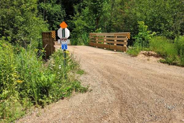
Horseshoe Lake
Approximately 10 mile route from West Elcho Rd. to Moccasin Lake Rd. Access to Horseshoe Lake from the main trail is narrow, but it is a great spot to take a break. The majority of the trail is dirt with some rolling hills consisting of loose rock and gravel. Some of the tighter corners are narrow, ...
Learn more about Horseshoe Lake
ATV trails near Lublin, Wisconsin
Explore ATV-friendly trails near you. These trails are accessible for vehicles up to 50 inches wide, perfect for ATVs and smaller off-road machines.
Tuscobia State Trail - Park Falls to Loretta
The Tuscobia State Trail runs a total of 74 Miles. This leg is 19 miles but connects to a massive trail system that you can jump onto at a bunch of different intersections. There are a few more stops than normal due to all of those intersections, but it is worth it if you want a day of exploring the...
Learn more about Tuscobia State Trail - Park Falls to Loretta
Wildcat Loop
The trail winds through wooded areas with mainly gravel and rocks and a mix of sand, offering a mix of natural beauty and light technical terrain.
It’s ideal for a quick loop or as part of a larger off-road outing in the Black River State Forest area. Also, a nice Parking area within miles of this l...
Learn more about Wildcat Loop
Half Nelson - West
Easy driving through rolling hills and forest. Most of the trail will fit two lanes of traffic, but there are many tight corners to watch for. This is mostly a gravel trail, so it will get dusty once the area dries out. There are a few turnout spots to take a break from the day and stay out of the w...
Learn more about Half Nelson - West
Nelson Fire Shortcut
This is a mostly single-lane gravel trail. Will be dry most of the time, but even after a rain, there won't be much if any mud to find. Some areas of the trail have a pretty tight vegetation canopy, which makes larger vehicles tougher to pass. This trail connects Nelson Fire Lane to West Elcho Road ...
Learn more about Nelson Fire Shortcut
UTV/side-by-side trails near Lublin, Wisconsin
Find UTV and side-by-side trails near you. These trails accommodate vehicles up to 60 inches wide, ideal for UTVs, side-by-sides, and wider off-road rigs.
Tuscobia State Trail - Park Falls to Loretta
The Tuscobia State Trail runs a total of 74 Miles. This leg is 19 miles but connects to a massive trail system that you can jump onto at a bunch of different intersections. There are a few more stops than normal due to all of those intersections, but it is worth it if you want a day of exploring the...
Learn more about Tuscobia State Trail - Park Falls to Loretta
Wildcat Loop
The trail winds through wooded areas with mainly gravel and rocks and a mix of sand, offering a mix of natural beauty and light technical terrain.
It’s ideal for a quick loop or as part of a larger off-road outing in the Black River State Forest area. Also, a nice Parking area within miles of this l...
Learn more about Wildcat Loop
Parrish Mini Loop
Small trail loop near the Parrish Trail Head. Easy going, with a nice stop at the shelter located lakeside that has a water pump and bathroom. On a slow ride, this should only take 15 to 20 minutes to complete and breaks up the day with a more curvy trail.
Learn more about Parrish Mini Loop
Half Nelson - West
Easy driving through rolling hills and forest. Most of the trail will fit two lanes of traffic, but there are many tight corners to watch for. This is mostly a gravel trail, so it will get dusty once the area dries out. There are a few turnout spots to take a break from the day and stay out of the w...
Learn more about Half Nelson - West
The onX Offroad Difference
onX Offroad combines trail photos, descriptions, difficulty ratings, width restrictions, seasonality, and more in a user-friendly interface. Available on all devices, with offline access and full compatibility with CarPlay and Android Auto. Discover what you're missing today!
Open Trail Map