
Dirt Bike Trails
Near Lavalette, West Virginia
Explore All Dirt Bike Trails Near Lavalette, West Virginia
Dirt Bike Trails Near Lavalette, West Virginia
Discover the best dirt bike trails near you. Browse trail maps, check difficulty ratings, and find your next adventure — whether you're looking for a quick ride or an all-day expedition.
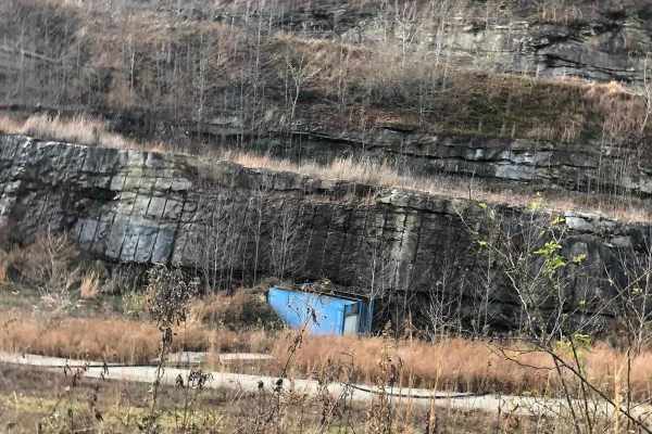
Lycans Ridge
This trail is Easy/Medium in terms of difficulty. The trail starts on a paved road, then quickly turns to dirt for the majority of the trail. There are hills, mud and woods that have to be navigated as you get farther down the trail. There is much more exploring to do along the trail as the area is ...
Learn more about Lycans Ridge
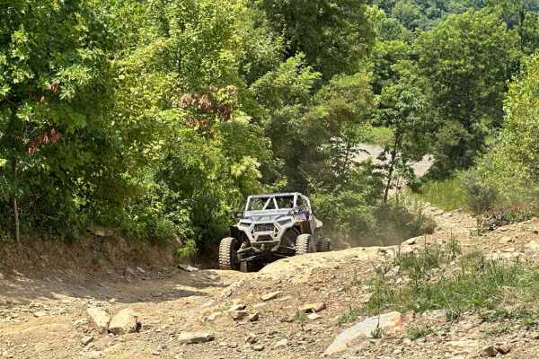
Pucker Up
Pucker Up is a short trail that goes up a series of rock climbs over slick rock, with a hard right turn at the top of one that will indeed make you pucker up. As always ride at your own discretion; only you know your capabilities and please be safe.
Learn more about Pucker Up
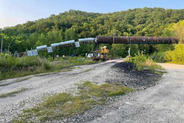
Lake Loop
The trail is very muddy since it is lakeside;at one point, you may actually get in the water depending on the time of year you are riding. This trail runs parallel with the Rich Creek branch of East Lynn Lake and there are several spots to pull off and fish or swim.
Learn more about Lake Loop
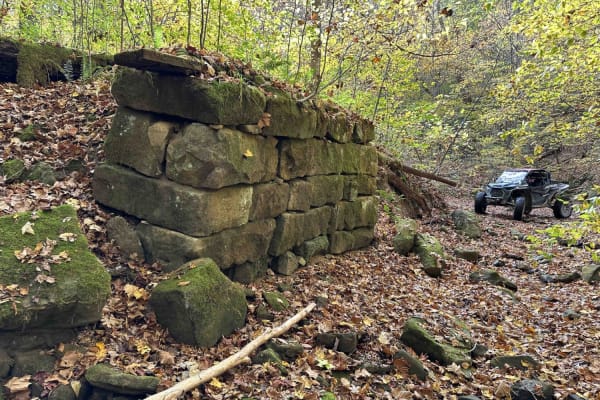
Stonebridge Trail
On this very scenic ride down along the creek, you will pass the remains of two bridges. The first will be on the left and is the larger of the two. The next will be on the right and is slightly smaller. This is an awesome place to get out and look around. This is a really mild trail little to no ob...
Learn more about Stonebridge Trail
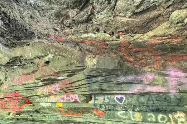
Jaw Bone
This trail is rough and jagged with some deep ruts and off-camber spots. Most of the trail is hard-packed mud and rock but there are some mud holes. Enjoy the scenery as parts of the trail are lakeside to East Lynn Lake. Several side shoots access the lake.
Learn more about Jaw Bone
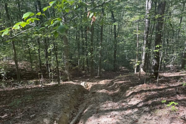
Turned Up
This trail is not for the faint of heart. Coming from the Stone Bridge side, it consists of tight turns and a ver,y very steep and rutted out incline that was extremely difficult to climb. I suggest not trying this alone and making sure your recovery equipment is readily accessible before starting u...
Learn more about Turned Up
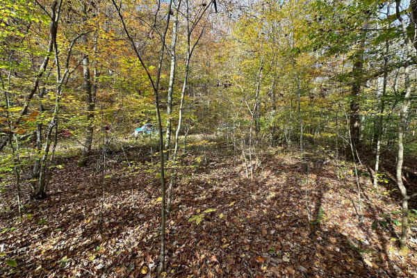
Sawblade
This is a very rough and rocky trail with extremely tight maneuvering and off-camber moments. Please use extreme caution when riding this trail. It is a moderately tough trail; have a winch and recovery gear available. If you like a challenging trail, you won't be disappointed.
Learn more about Sawblade
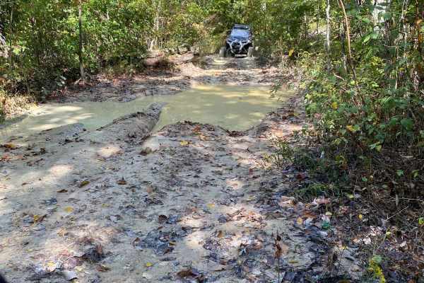
Top of The Ridge Trail
This trail is Easy/Medium in terms of difficulty. The trail starts on a paved road, then quickly turns to dirt for the majority of the trail. There are hills, mud, and woods that have to be navigated as you get farther down the trail. There is much more exploring to do along the trail as the area is...
Learn more about Top of The Ridge Trail
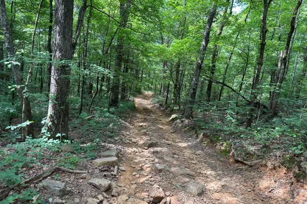
Lakeview Trail
Lakeview Trail is located at the end of Greenbrier Road. It is an aggressive trail that has several steep hill climbs on slick, wet dirt with lots of exposed roots. This trail runs adjacent to Yatesville Lake and ties into Mudholler. Please be mindful of the local wildlife.
Learn more about Lakeview Trail
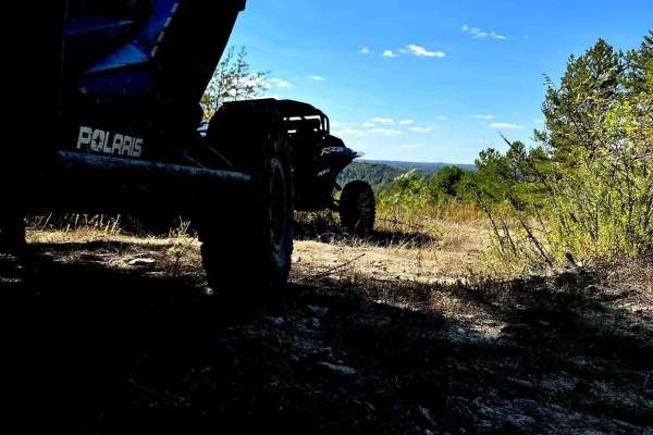
Deerlick Trail
Deerlick Trail is a mixture of clay, mud, rock, and tree roots that runs around the end of the Greenbrier branch of Yatesville Lake. This trail connects Mud Holler to Deerlick Road through a series of hills and switchbacks. You will see fantastic views of Yatesville Lake and Boones Landing. It is kn...
Learn more about Deerlick Trail
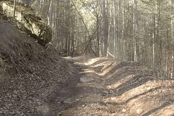
Devils Stairway
The trail is accessed from Water Holler and connects to Lycan's Ridge. It is very rocky and rutted on a fairly steep incline. Please be cautious and pick your lines near the top. The pictures don't do the rock garden justice. These rocks are somewhat large and difficult to navigate.
Learn more about Devils Stairway
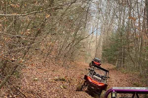
Cow Path
This is a rugged ridge trail that passes through some pasture land. There are some scenic views along the way and an abundance of cow patties. If you are riding this trail, close the barbed wire fences as you pass through so the cows don't escape.
Learn more about Cow Path
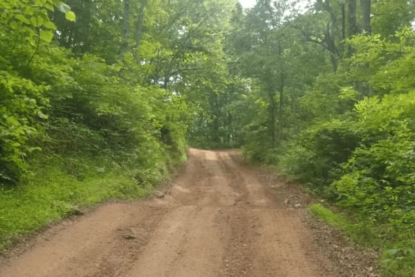
Honey Trace Hill
This trail offers a moderate challenge, beginning in a creek before climbing quickly up the mountain. Expect steep inclines, muddy sections, and wooded areas that require careful navigation. The route provides plenty of opportunities for exploration and scenic views. It finishes with a steep downhil...
Learn more about Honey Trace Hill
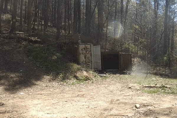
Puncheon Camp Branch
The route is very scenic and fun to travel, with many hidden gems along the way if you know where to look for them. A Bunker is built into the side of the mountain that is fully accessible; the rest are less obvious.
Learn more about Puncheon Camp Branch
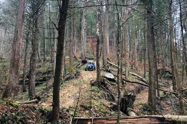
Cedgap Trail
Cedgap Trail starts at Kentucky 32 and goes up the hill past the old Cedgap General Store, across the ridge, and dips over the hill to the right. Once off the gravel, you will experience tight turns over tree roots and rocks and will end at Dry Ridge Road.
Learn more about Cedgap Trail

Hanging Rock Trail
Welcome to the Wayne National Forest Hanging Rock OHV Trail System. Wayne National Forest OHV trails require a trail pass that can be purchased from Forest headquarters or local vendors. All trails are limited to a width of 50 inches or less. All trails are two-way. The Hanging Rock Trail is the pri...
Learn more about Hanging Rock Trail
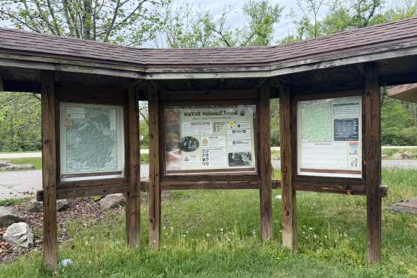
Gas Well Loop
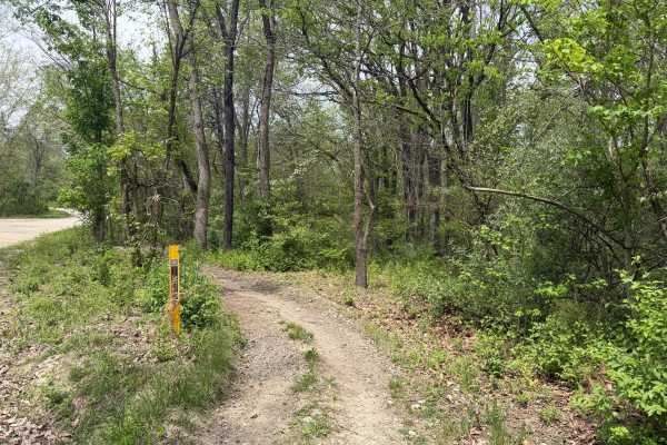
Gas Well Loop (FS 20) is a solid pick for intermediate riders looking to explore southeastern Ohio's Wayne National Forest on an ATV or dirtbike. The loop starts at the Hanging Rock Trailhead and winds southeast through mixed hardwood forest, offering a mix of terrain that keeps things interesting w...
Learn more about Gas Well Loop
Saw Mill Trail
Welcome to the Wayne National Forest Hanging Rock OHV Trail System. Wayne National Forest OHV trails require a trail pass that can be purchased from Forest headquarters or local vendors. All trails are limited to a width of 50 inches or less. All trails are two-way. This short trail cuts off the eas...
Learn more about Saw Mill Trail
Rich Creek Trail
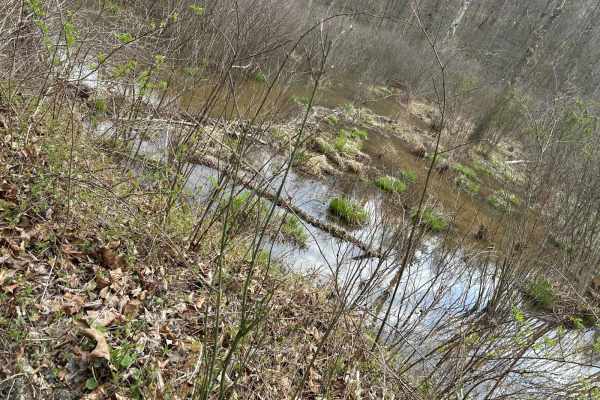
This is a very scenic trail that travels around the Rich Creek area of Yatesville Lake. You'll see an array of wildlife, and the beavers seem to create their own ecosystem. The trail itself dead-ends, but before you head back out, be sure you check out Lover's Loop.
Learn more about Rich Creek Trail
Copperhead Trail
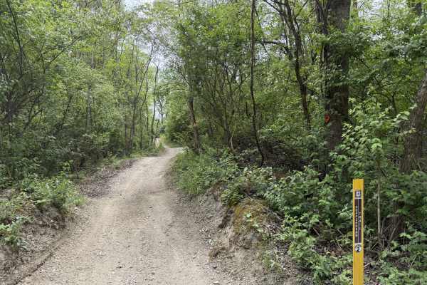
Copperhead Trail (FS 22) in Wayne National Forest’s Ironton Ranger District offers a moderately challenging ride tailored for ATVs and dirtbikes looking to explore tight, technical terrain with natural obstacles. This single-track motorized trail winds south and east from Hanging Rock Loop toward Hi...
Learn more about Copperhead Trail
ATV trails near Lavalette, West Virginia
Explore ATV-friendly trails near you. These trails are accessible for vehicles up to 50 inches wide, perfect for ATVs and smaller off-road machines.
Lycans Ridge
This trail is Easy/Medium in terms of difficulty. The trail starts on a paved road, then quickly turns to dirt for the majority of the trail. There are hills, mud and woods that have to be navigated as you get farther down the trail. There is much more exploring to do along the trail as the area is ...
Learn more about Lycans Ridge
Pucker Up
Pucker Up is a short trail that goes up a series of rock climbs over slick rock, with a hard right turn at the top of one that will indeed make you pucker up. As always ride at your own discretion; only you know your capabilities and please be safe.
Learn more about Pucker Up
Lake Loop
The trail is very muddy since it is lakeside;at one point, you may actually get in the water depending on the time of year you are riding. This trail runs parallel with the Rich Creek branch of East Lynn Lake and there are several spots to pull off and fish or swim.
Learn more about Lake Loop
Stonebridge Trail
On this very scenic ride down along the creek, you will pass the remains of two bridges. The first will be on the left and is the larger of the two. The next will be on the right and is slightly smaller. This is an awesome place to get out and look around. This is a really mild trail little to no ob...
Learn more about Stonebridge Trail
UTV/side-by-side trails near Lavalette, West Virginia
Find UTV and side-by-side trails near you. These trails accommodate vehicles up to 60 inches wide, ideal for UTVs, side-by-sides, and wider off-road rigs.
Lycans Ridge
This trail is Easy/Medium in terms of difficulty. The trail starts on a paved road, then quickly turns to dirt for the majority of the trail. There are hills, mud and woods that have to be navigated as you get farther down the trail. There is much more exploring to do along the trail as the area is ...
Learn more about Lycans Ridge
Pucker Up
Pucker Up is a short trail that goes up a series of rock climbs over slick rock, with a hard right turn at the top of one that will indeed make you pucker up. As always ride at your own discretion; only you know your capabilities and please be safe.
Learn more about Pucker Up
Lake Loop
The trail is very muddy since it is lakeside;at one point, you may actually get in the water depending on the time of year you are riding. This trail runs parallel with the Rich Creek branch of East Lynn Lake and there are several spots to pull off and fish or swim.
Learn more about Lake Loop
Stonebridge Trail
On this very scenic ride down along the creek, you will pass the remains of two bridges. The first will be on the left and is the larger of the two. The next will be on the right and is slightly smaller. This is an awesome place to get out and look around. This is a really mild trail little to no ob...
Learn more about Stonebridge Trail
The onX Offroad Difference
onX Offroad combines trail photos, descriptions, difficulty ratings, width restrictions, seasonality, and more in a user-friendly interface. Available on all devices, with offline access and full compatibility with CarPlay and Android Auto. Discover what you're missing today!
Open Trail Map