
Dirt Bike Trails
Near Kistler, Pennsylvania
Explore All Dirt Bike Trails Near Kistler, Pennsylvania
Dirt Bike Trails Near Kistler, Pennsylvania
Discover the best dirt bike trails near you. Browse trail maps, check difficulty ratings, and find your next adventure — whether you're looking for a quick ride or an all-day expedition.
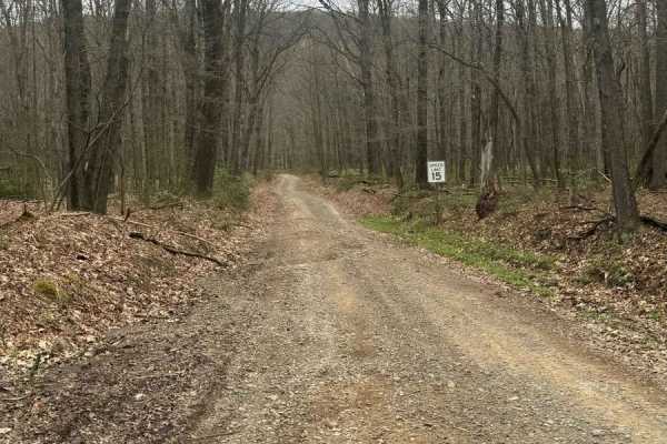
Bald Eagle Pike
This is a rocky dirt road up the mountainside. There are some small washed-out areas, but it can be easily navigated with a factory-height SUV. You'll get some great views down into the valley along with wildlife such as turkey and deer crossing the trail. It's single-lane with a few pull-off areas ...
Learn more about Bald Eagle Pike
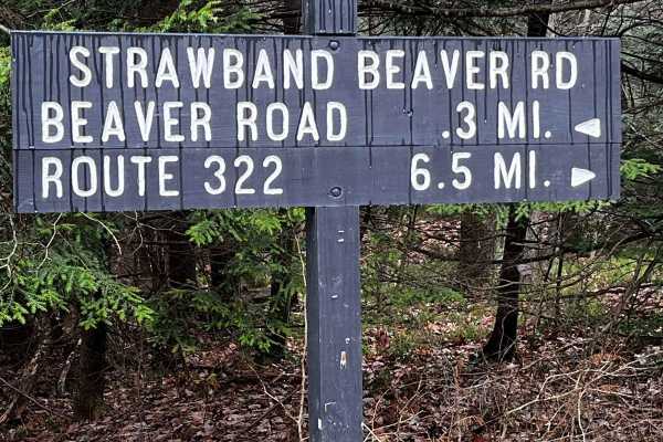
Strawband Beaver Road
This is a very well-maintained gravel, mostly one-car-width road through Moshannon State Forest. Along the route, you will find many different types of trees and wildlife. There are plenty of spots along the road to pull over. There is a lot of traffic during the hunting season.
Learn more about Strawband Beaver Road
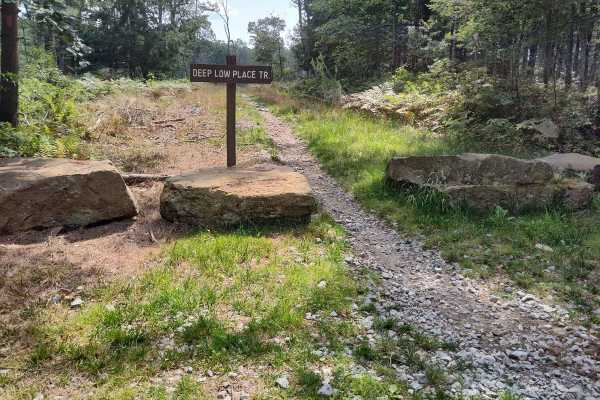
Tower Trail - Single Track
Tower Trail is one of the more difficult trails in the area. It's a narrow single-track trail with a rocky hill climb, along with other rocky outcroppings along this short trail. If you start at the lower end of the trail, you'll need to take Deep Low Place trail to access it. Once you turn sharp to...
Learn more about Tower Trail - Single Track

Countyline Single Track
This trail is a fun little single track. This is on the easy side of intermediate riding skill. There are no major obstacles, mostly level, no big descents or ascents, and minimal rocks. Start from Hunter Road and side-traverse around the big yellow gate, after which you'll find an easily followed t...
Learn more about Countyline Single Track
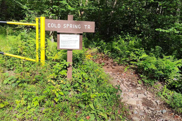
Cold Spring Trail - Single Track
Cold spring trail is not something that I would advise for a beginner rider. Although the majority of its length is relatively flat and easy, there are several rock gardens that could dismount an inexperienced rider. There's also one small ascent/descent (depending on which direction you start from)...
Learn more about Cold Spring Trail - Single Track
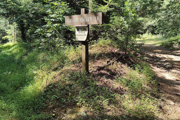
Middle Ridge Trail - Single Track
The Middle Ridge Trail is a single track that starts and ends off the ends of the Henstep jeep trail, just adjacent to Hunter Rd. It might be the most challenging trail in the Bald Eagle Forest area. Beginning from the west end is a problematic rocky hill climb to start your ride, then leads to a re...
Learn more about Middle Ridge Trail - Single Track
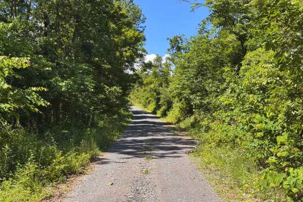
Moss Road - T-318
Moss road or T-318 cuts through the southern Game lands. Reaching elevations of 1166 Ft traversing the forest and meadows. There is no public camping allowed on this route. Several parking locations are along the trail. If coming from the south look for a sharp turn heading up a gravel road.
Learn more about Moss Road - T-318
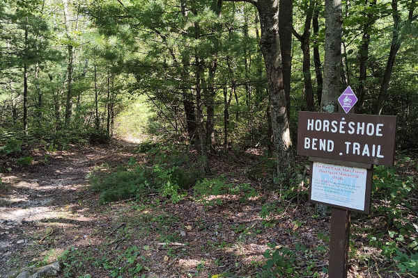
Horseshoe Bend Trail
Horseshoe Bend trail is another short but fun single-track trail. Starting from Hunter Road. It is very easy and relatively flat terrain, about halfway there's a section of rocky descent, which gets a little more difficult as you continue to descend out onto the main road. Try your skill by turning ...
Learn more about Horseshoe Bend Trail
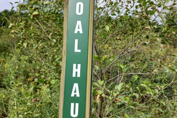
Coal Haul Road - Rock Run Recreation Area
Coal Haul Road - A trail of Rock Run Recreation Area. Located on the Southern end of the facility, Coal Haul Road is the main throughfare to access the park. Coal Haul Road is an improved stone roadway, two vehicles wide for the entire 2.7 miles. Longtime riders of Rock Run will realize that Coal Ha...
Learn more about Coal Haul Road - Rock Run Recreation Area
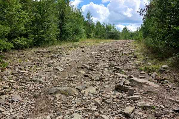
Blue Lagoon Boulevard - Rock Run Recreation Area
Blue Lagoon Boulevard- A trail of Rock Run Recreation Area. Blue Lagoon Boulevard is an original trail to the park, and it should be able to be traversed by anyone. Blue Lagoon Boulevard is 6/10ths of a mile in length and is part of the larger network at the park. One end of Blue Lagoon Boulevard st...
Learn more about Blue Lagoon Boulevard - Rock Run Recreation Area
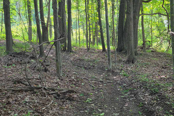
Single Track B
Single Track B – A trail of Rock Run Recreation Area. Single Track B starts at Clayworks Drive/Single Track A and intersects with Outer Loop West at the other end. It travels through the woods in its entirety and is all on a grade. You will encounter a rutted trail with loose rocks, other obstacles...
Learn more about Single Track B
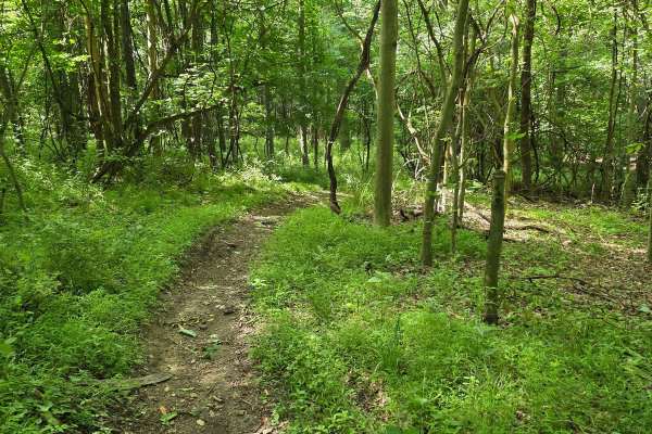
Single Track C
Single Track C – A trail of Rock Run Recreation Area. Single Track C starts on the Outer Loop West near Single Track B, and at the other end it intersects with Clayworks Drive. It travels through the woods in its entirety and is all on a grade. You will encounter a rutted trail with loose rocks, o...
Learn more about Single Track C
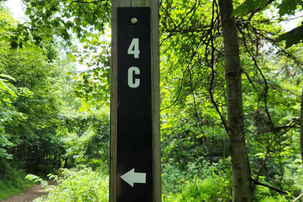
Trail 4C - Rock Run Recreation Area
Trail 4C- A trail of the Rock Run Recreation Area. Trail 4C is an original trail to the park. It should be able to be traversed by anyone on a motorcycle, ATV, or SxS with some skill. Trail 4C is only about 200 feet in length and is part of the larger network at the park. This trail is dirt and loos...
Learn more about Trail 4C - Rock Run Recreation Area
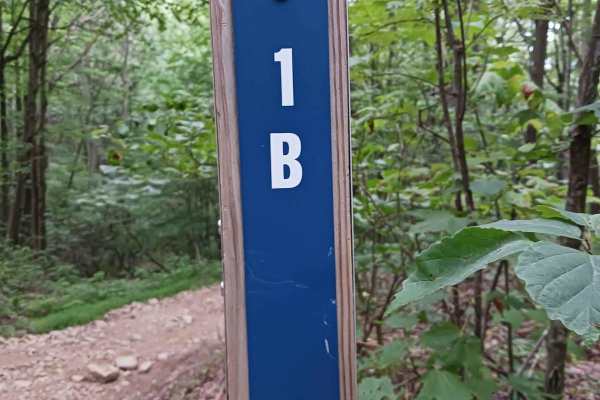
Trail 1B - Rock Run Recreation Area
Trail 1B- A trail of Rock Run Recreation Area. Trail 1B is an original trail to the park. It should be able to be traversed by anyone on a motorcycle, ATV, or SxS. Trail 1B is just over 1/10th of a mile in length and is part of the larger network at the park. This trail is mostly dirt with the poten...
Learn more about Trail 1B - Rock Run Recreation Area
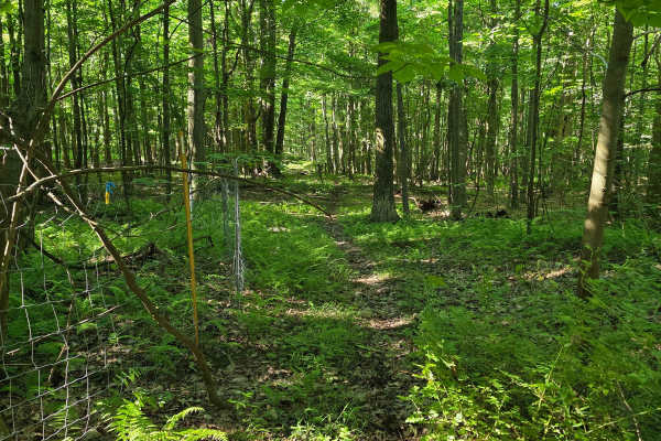
Single Track C7
Single Track C7 – A trail of Rock Run Recreation Area. Single Track C7 starts at the Outer Loop West and runs parallel to it before again intersecting with the Outer Loop West. It travels through the woods in its entirety; mostly flat. You will encounter a rutted trail, with loose rocks, other obst...
Learn more about Single Track C7
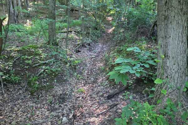
Single Track C1
Single Track C1 – A trail of Rock Run Recreation Area. Single Track C1 starts off Single Track C, and at the other end it intersects with the Inner Loop. It travels through the woods in its entirety, all on a grade, mostly traveling through a ravine or natural drainage ditch. You will encounter a ...
Learn more about Single Track C1
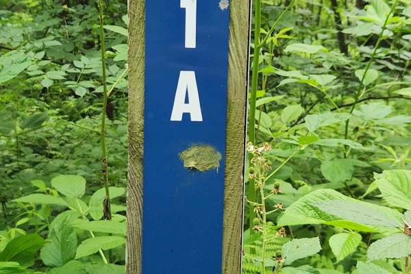
Trail 1A - Rock Run Recreation Area
Trail 1A - A trail of the Rock Run Recreation Area. Trail 1A is an original trail to the park. It is ranked Blue and should be able to be traversed by most riders on a bike, ATV, or SxS with a little skill. At 1/4 mile, this trail is part of the larger network in one of the rockier sections of the p...
Learn more about Trail 1A - Rock Run Recreation Area
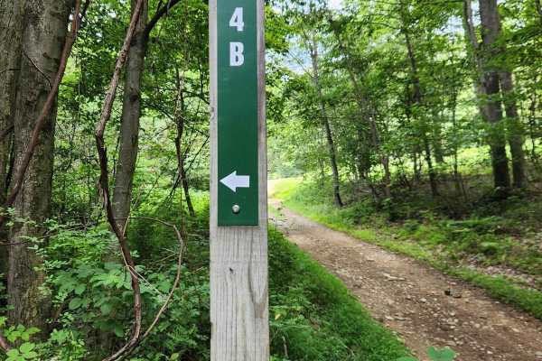
Trail 4B - Rock Run Recreation Area
Trail 4B- A trail of the Rock Run Recreation Area. Trail 4B is an original trail to the park. It should be able to be traversed by anyone on a motorcycle, ATV, or SxS. Trail 4B is a little shorter than 1/10th of a mile and is part of the larger network at the park. This trail is dirt and loose rocks...
Learn more about Trail 4B - Rock Run Recreation Area
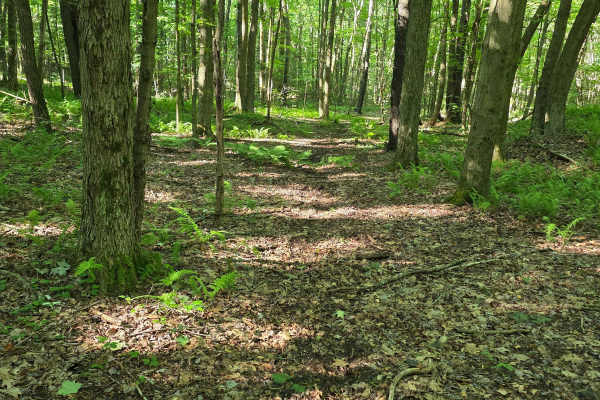
Single Track C6
Single Track C6 – A trail of Rock Run Recreation Area. Single Track C6 starts at Single Track C3 and intersects with the Outer Loop West. It travels through the woods in its entirety and is mostly flat. You will encounter a rutted trail with loose rocks, other obstacles, and tight trees in a few loc...
Learn more about Single Track C6
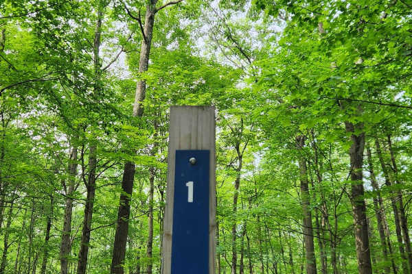
Trail 1 - Rock Run Recreation Area
Trail 1 - A trail of the Rock Run Recreation Area. Trail 1 is an original trail to the park, perhaps the first trail? It is ranked Blue and should be able to be traversed by most riders on a bike, ATV, or SxS with a little skill. While ranked Blue, note that at the end of this trail, you will encoun...
Learn more about Trail 1 - Rock Run Recreation Area
ATV trails near Kistler, Pennsylvania
Explore ATV-friendly trails near you. These trails are accessible for vehicles up to 50 inches wide, perfect for ATVs and smaller off-road machines.
Bald Eagle Pike
This is a rocky dirt road up the mountainside. There are some small washed-out areas, but it can be easily navigated with a factory-height SUV. You'll get some great views down into the valley along with wildlife such as turkey and deer crossing the trail. It's single-lane with a few pull-off areas ...
Learn more about Bald Eagle Pike
Strawband Beaver Road
This is a very well-maintained gravel, mostly one-car-width road through Moshannon State Forest. Along the route, you will find many different types of trees and wildlife. There are plenty of spots along the road to pull over. There is a lot of traffic during the hunting season.
Learn more about Strawband Beaver Road
Moss Road - T-318
Moss road or T-318 cuts through the southern Game lands. Reaching elevations of 1166 Ft traversing the forest and meadows. There is no public camping allowed on this route. Several parking locations are along the trail. If coming from the south look for a sharp turn heading up a gravel road.
Learn more about Moss Road - T-318
Coal Haul Road - Rock Run Recreation Area
Coal Haul Road - A trail of Rock Run Recreation Area. Located on the Southern end of the facility, Coal Haul Road is the main throughfare to access the park. Coal Haul Road is an improved stone roadway, two vehicles wide for the entire 2.7 miles. Longtime riders of Rock Run will realize that Coal Ha...
Learn more about Coal Haul Road - Rock Run Recreation Area
UTV/side-by-side trails near Kistler, Pennsylvania
Find UTV and side-by-side trails near you. These trails accommodate vehicles up to 60 inches wide, ideal for UTVs, side-by-sides, and wider off-road rigs.
Bald Eagle Pike
This is a rocky dirt road up the mountainside. There are some small washed-out areas, but it can be easily navigated with a factory-height SUV. You'll get some great views down into the valley along with wildlife such as turkey and deer crossing the trail. It's single-lane with a few pull-off areas ...
Learn more about Bald Eagle Pike
Strawband Beaver Road
This is a very well-maintained gravel, mostly one-car-width road through Moshannon State Forest. Along the route, you will find many different types of trees and wildlife. There are plenty of spots along the road to pull over. There is a lot of traffic during the hunting season.
Learn more about Strawband Beaver Road
Moss Road - T-318
Moss road or T-318 cuts through the southern Game lands. Reaching elevations of 1166 Ft traversing the forest and meadows. There is no public camping allowed on this route. Several parking locations are along the trail. If coming from the south look for a sharp turn heading up a gravel road.
Learn more about Moss Road - T-318
Coal Haul Road - Rock Run Recreation Area
Coal Haul Road - A trail of Rock Run Recreation Area. Located on the Southern end of the facility, Coal Haul Road is the main throughfare to access the park. Coal Haul Road is an improved stone roadway, two vehicles wide for the entire 2.7 miles. Longtime riders of Rock Run will realize that Coal Ha...
Learn more about Coal Haul Road - Rock Run Recreation Area
The onX Offroad Difference
onX Offroad combines trail photos, descriptions, difficulty ratings, width restrictions, seasonality, and more in a user-friendly interface. Available on all devices, with offline access and full compatibility with CarPlay and Android Auto. Discover what you're missing today!
Open Trail Map