
Dirt Bike Trails
Near Jonesville, Louisiana
Explore All Dirt Bike Trails Near Jonesville, Louisiana
Dirt Bike Trails Near Jonesville, Louisiana
Discover the best dirt bike trails near you. Browse trail maps, check difficulty ratings, and find your next adventure — whether you're looking for a quick ride or an all-day expedition.
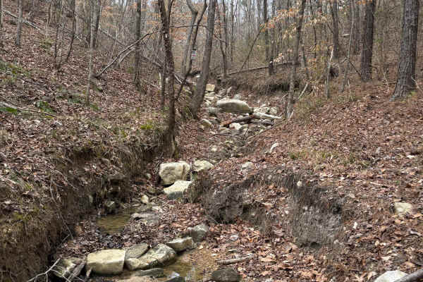
Stone Hindge
Enter from West Creek Bottom and enter into a large washout. There is a large boulder in the middle of the trail at the bottom. After clearing this, you will be on a tight trail with massive boulders on the edges of the trail. There is a tree that will take out a windshield and top if not careful. A...
Learn more about Stone Hindge
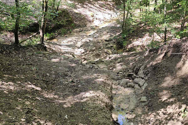
West Creek
This is a pretty moderate trail that goes down into the valley. It begins with a steep descent to a dirt path that is very slick when it is wet. Near the bottom of the descent is a deep washout that can be tricky to navigate into. After this first obstacle, most of the trail is a winding path throug...
Learn more about West Creek
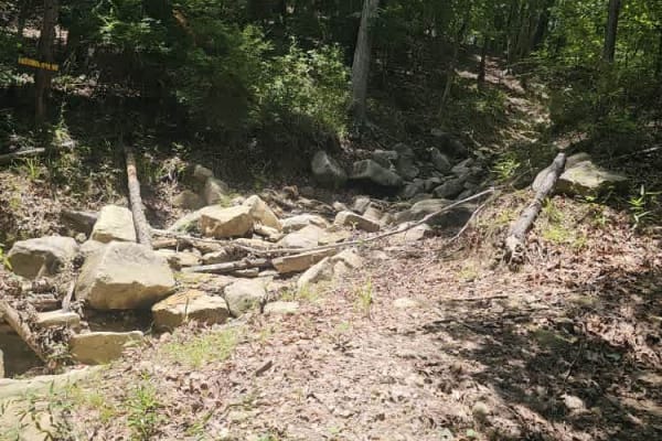
East Creek
This is a beautiful rock and dirt trail through a valley. You don't even realize you are in Louisiana with all the rocks. It begins with a steep descent into the valley down a mostly dirt trail and some steep rock ledges at the top. You drop down into a lush green forest with rocks following a path ...
Learn more about East Creek
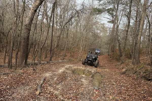
Bottom Road
This route starts off the main road through the park. There is a small sand dune at the beginning of the trail to the right. You enter into the woods from a small field. If it is wet, you will pass through several small mud holes and several larger mud holes along the way. When you get to the end, y...
Learn more about Bottom Road
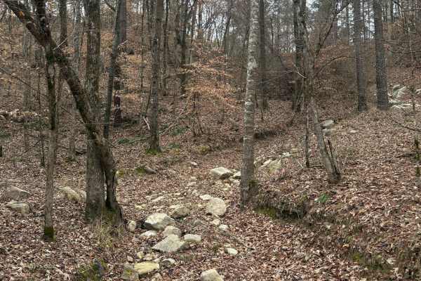
Mountain Road
Start out in a creek bottom and drive up a very rocky climb. There are two large rock ledges. One has a bypass, the other does not. If it is wet, this trail will become very slick. You will exit into a field at the top of the park.
Learn more about Mountain Road
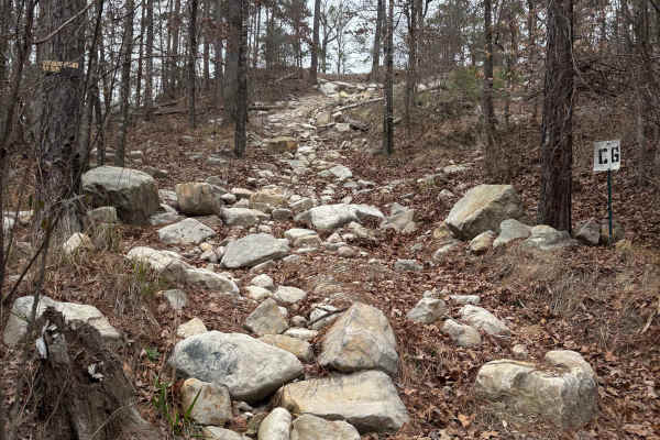
Rolling Rocks
Start in East Creek bottom and begin the climb from one of two entrances that are approximately twenty feet apart. This trail is pure rocks. It has multiple lines up and multiple exits. This trail will challenge mildly built rigs all the way to rockbouncers. This is one of the most used trails in th...
Learn more about Rolling Rocks
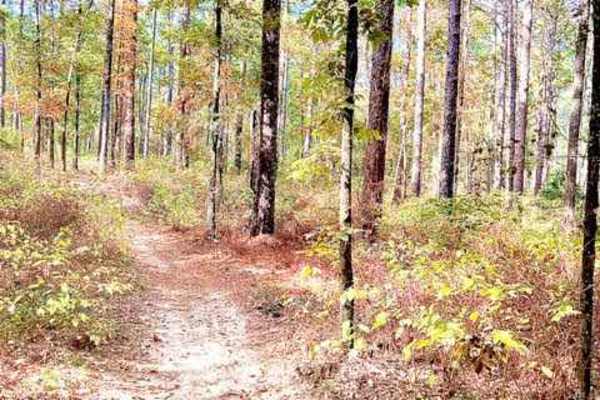
Hickman Trail
This is a great, fast, and fun trail that winds through the Kisatchie Forest. Trails are marked with a red diamond and guide you very well without worrying about getting lost. There are a lot of undulations and hills in central Louisiana. The trail is approximately 50" wide and is a two-way trail, s...
Learn more about Hickman Trail
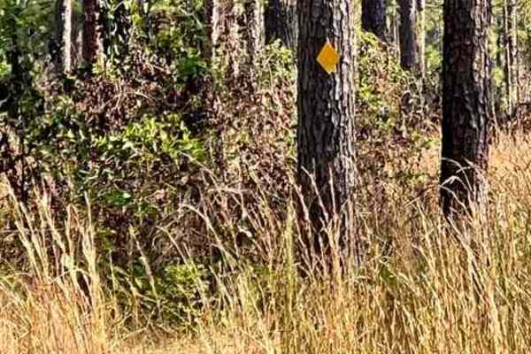
Livingston Trail
This is a smooth flowy trail that is overgrown at times but approximately 50" wide in spots. The trail is marked with a yellow diamond to help guide you along the way. There are beautiful tall pines, a very nice area in the heart of Kisatchiie forest. The best time to complete is in the fall/winter ...
Learn more about Livingston Trail
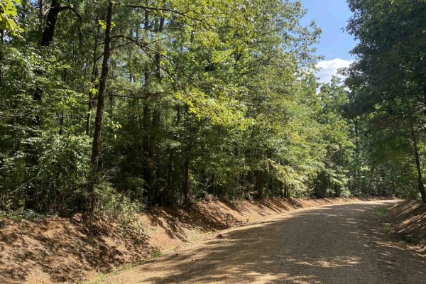
Beulah Church Road
This route starts on Beulah Church Road and turns onto Little Mail Road. This trail starts right outside of Kisatchie Nation Forest and brings you into it. The dirt roads can be very slick when wet. This trail has beautiful views and once you get into Kisatchie Nation Forest, there are several side ...
Learn more about Beulah Church Road
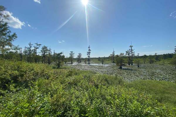
Iatt Lake Trail
This route starts on Forest Service Rd 558 off of LA-167 and eventually puts you out at a lookout boardwalk on Latt Lake. This trail is in Kisatchie Nation Forest and there are several side spurs to explore. The dirt and gravel roads can be very slick when wet. This trail has beautiful views however...
Learn more about Iatt Lake Trail
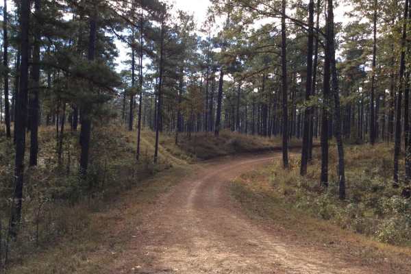
HCNF 103B Cheek Trail
This trail located in the Homochitto National Forest is an old logging trail that leads to a large open clearing area that can be used for dispersed and primitive camping. There are spurs along the trail to explore and the route has some great views of deep spurs and ridge lines.It should be noted t...
Learn more about HCNF 103B Cheek Trail
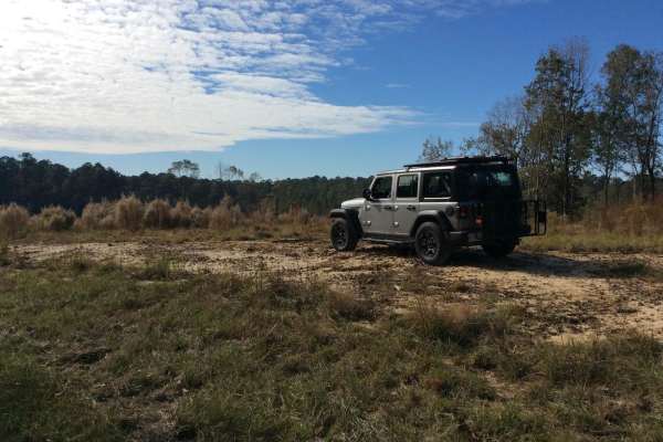
HCNF 102E Trail
This trail, located in the Homochitto National Forest, is a newer logging trail that leads to various spurs and other trails. The views on this rouge has vast areas of recently logged ridge lines and draws that allow for some long views of the horizon. It should be noted that some spurs have posted ...
Learn more about HCNF 102E Trail
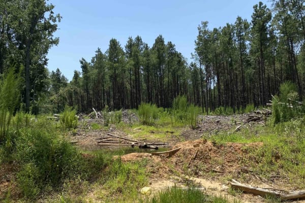
Jake Creel Road
This route starts on Jake Creel Road and ends at Aunt Marie's Road. This trail contains deep washouts and mud holes. The dirt roads are very slick when wet. This trail has beautiful views but has private property on both sides of the road so don't go off on any of the side trails. This trail is very...
Learn more about Jake Creel Road

Cat Island River Trail
This trail runs along the Mississippi River near the Cat Island National Wildlife Refuge. Depending on the time of year, higher river flood stages can make this trail inaccessible since it lies in a natural flood plain. During dryer periods, the trail is often covered with several inches of silt. Th...
Learn more about Cat Island River Trail
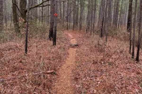
Claiborne "A" Loop
A diversified amount of roots, rocks, and flowy single track through the Kisatchie Forest has some elevation change. After a decent rain, the ground holds its moisture, so plan on wet and slimy conditions with some possible downed trees and mud holes. Overall, a very fun ride with many trails that c...
Learn more about Claiborne "A" Loop
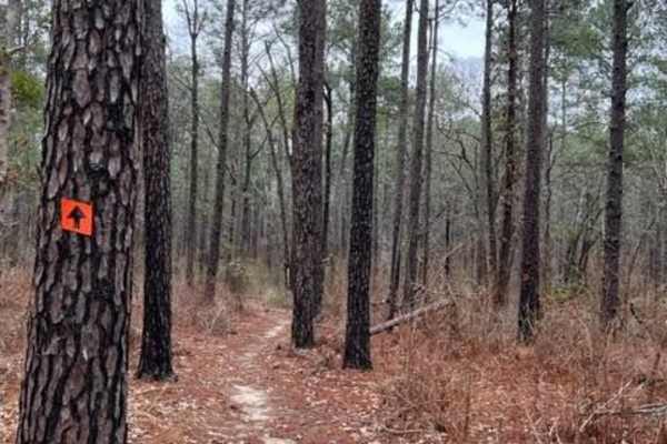
Claiborne "B" Loop
A diversified amount of roots, rocks, and flowy single track through the Kisatchie Forest has some elevation change. After a decent rain, the ground holds its moisture, so plan on wet and slimy conditions with some possible downed trees and mud holes. Overall, a very fun ride with many trails that c...
Learn more about Claiborne "B" Loop
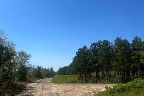
Ramsey Hill Road
This trail is very fun to cruise down, soak in the beautiful views, and spot wildlife. Both sides are flooded with pine trees and shrubbery. The area is also very wildlife-abundant, so be cautious when driving and be respectful of wildlife. This road has several turn-offs that are private property. ...
Learn more about Ramsey Hill Road
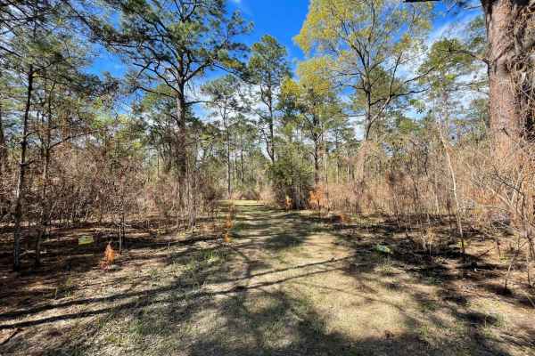
The Narrows
I call this trail The Narrows because it is very narrow. If you don't like pin striping I wouldn't go down this trail. I was in a mid-size truck a Nissan Frontier and the brush was dragging both sides of the truck most of the way down the trail. It's a beautiful area some places are fairly open and ...
Learn more about The Narrows
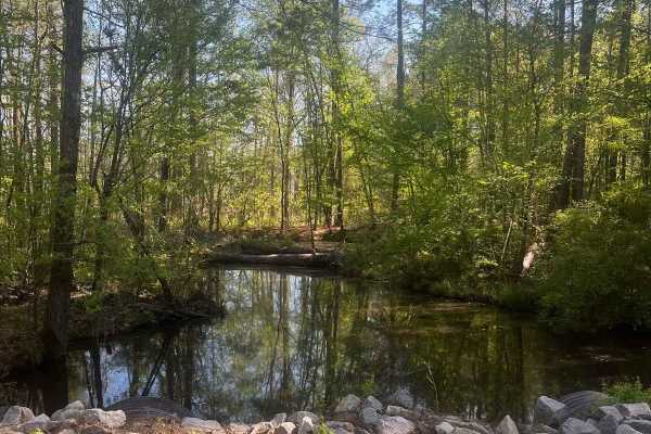
Vernon Eros Road
This trail is very fun to cruise down, soak in the beautiful views, and spot wildlife. Both sides are flooded with pine trees and shrubbery. The area is also very wildlife-abundant, so be cautious when driving and be respectful of wildlife. This road has several turn-offs that are private property. ...
Learn more about Vernon Eros Road
Winnfield Road
This trail is very fun to cruise down, soak in the beautiful views, and spot wildlife. Both sides are flooded with pine trees and shrubbery. The area is also very wildlife-abundant, so be cautious when driving and be respectful of wildlife. This road has several turn-offs that are private property. ...
Learn more about Winnfield Road
ATV trails near Jonesville, Louisiana
Explore ATV-friendly trails near you. These trails are accessible for vehicles up to 50 inches wide, perfect for ATVs and smaller off-road machines.
West Creek
This is a pretty moderate trail that goes down into the valley. It begins with a steep descent to a dirt path that is very slick when it is wet. Near the bottom of the descent is a deep washout that can be tricky to navigate into. After this first obstacle, most of the trail is a winding path throug...
Learn more about West Creek
East Creek
This is a beautiful rock and dirt trail through a valley. You don't even realize you are in Louisiana with all the rocks. It begins with a steep descent into the valley down a mostly dirt trail and some steep rock ledges at the top. You drop down into a lush green forest with rocks following a path ...
Learn more about East Creek
Bottom Road
This route starts off the main road through the park. There is a small sand dune at the beginning of the trail to the right. You enter into the woods from a small field. If it is wet, you will pass through several small mud holes and several larger mud holes along the way. When you get to the end, y...
Learn more about Bottom Road
Hickman Trail
This is a great, fast, and fun trail that winds through the Kisatchie Forest. Trails are marked with a red diamond and guide you very well without worrying about getting lost. There are a lot of undulations and hills in central Louisiana. The trail is approximately 50" wide and is a two-way trail, s...
Learn more about Hickman Trail
UTV/side-by-side trails near Jonesville, Louisiana
Find UTV and side-by-side trails near you. These trails accommodate vehicles up to 60 inches wide, ideal for UTVs, side-by-sides, and wider off-road rigs.
Stone Hindge
Enter from West Creek Bottom and enter into a large washout. There is a large boulder in the middle of the trail at the bottom. After clearing this, you will be on a tight trail with massive boulders on the edges of the trail. There is a tree that will take out a windshield and top if not careful. A...
Learn more about Stone Hindge
West Creek
This is a pretty moderate trail that goes down into the valley. It begins with a steep descent to a dirt path that is very slick when it is wet. Near the bottom of the descent is a deep washout that can be tricky to navigate into. After this first obstacle, most of the trail is a winding path throug...
Learn more about West Creek
East Creek
This is a beautiful rock and dirt trail through a valley. You don't even realize you are in Louisiana with all the rocks. It begins with a steep descent into the valley down a mostly dirt trail and some steep rock ledges at the top. You drop down into a lush green forest with rocks following a path ...
Learn more about East Creek
Bottom Road
This route starts off the main road through the park. There is a small sand dune at the beginning of the trail to the right. You enter into the woods from a small field. If it is wet, you will pass through several small mud holes and several larger mud holes along the way. When you get to the end, y...
Learn more about Bottom Road
The onX Offroad Difference
onX Offroad combines trail photos, descriptions, difficulty ratings, width restrictions, seasonality, and more in a user-friendly interface. Available on all devices, with offline access and full compatibility with CarPlay and Android Auto. Discover what you're missing today!
Open Trail Map