
Dirt Bike Trails
Near Jakin, Georgia
Explore All Dirt Bike Trails Near Jakin, Georgia
Dirt Bike Trails Near Jakin, Georgia
Discover the best dirt bike trails near you. Browse trail maps, check difficulty ratings, and find your next adventure — whether you're looking for a quick ride or an all-day expedition.
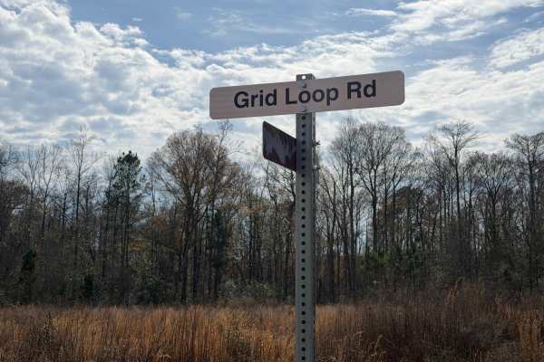
Grid Loop Road
Grid Loop Road runs through the southeastern quadrant of the Chickasawhatchee Wildlife Management Area (WMA). Only street-legal, registered, and licensed vehicles are permitted. Additionally, the Georgia Department of Natural Resources (GADNR) requires individuals to be in possession of the Georgia ...
Learn more about Grid Loop Road
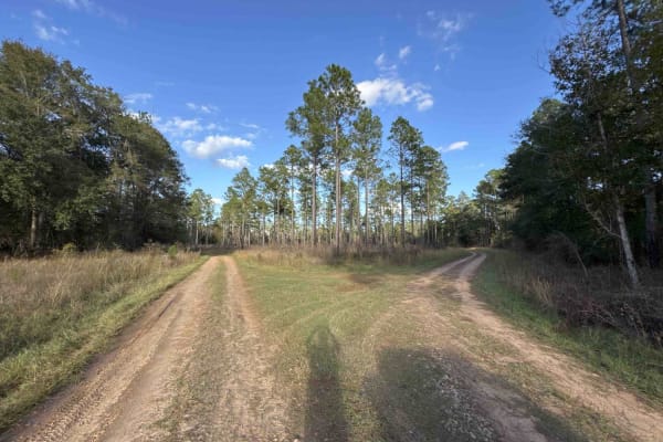
Seven Bridge Road
The Seven Bridge Road connects the Chickasawhatchee Road at the west end and the Mud Creek Road at the east end. The trail takes you through the Chickasawhatchee Wildlife Management Area and crosses the waterways several times. The road conditions are a mixture of packed sand, loose sand, and some d...
Learn more about Seven Bridge Road
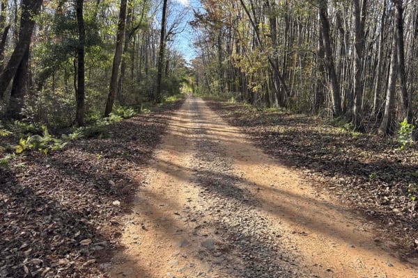
Chickasawhatchee Road
The Chickasawhatchee Road connects the north entrance at GA-62 and the west entrance at GA-37. The trail gives you access to the Campground and several other trails in the Chickasawhatchee Wildlife Management Area. The road conditions are a mixture of packed sand, loose sand and some deep holes that...
Learn more about Chickasawhatchee Road
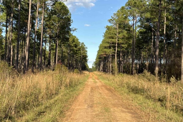
Pine Island Road
The Pine Island Road connects GA-62 at the north end and the Seven Bridge Road at the south end. The trail gives you access to the Mike Commander Shooting Range at the Chickasawhatchee Wildlife Management Area. The road conditions are a mixture of packed sand, loose sand, and some deep holes that ca...
Learn more about Pine Island Road
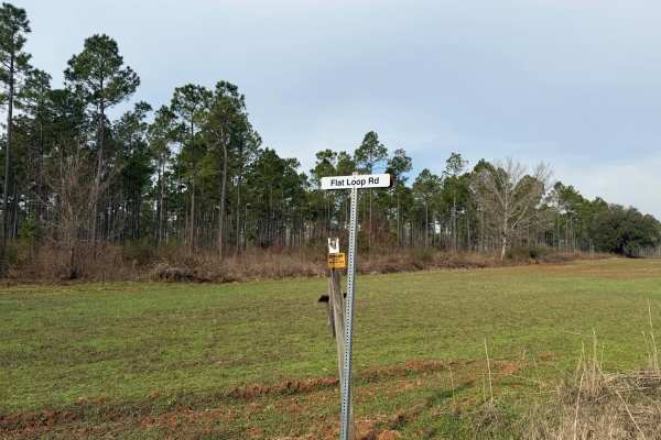
Flat Hole Loop
Flat Hole Loop runs through the southeastern quadrant of the Chickasawhatchee Wildlife Management Area (WMA). Only street-legal, registered, and licensed vehicles are permitted. Additionally, the Georgia Department of Natural Resources (GADNR) requires individuals to be in possession of the Georgia ...
Learn more about Flat Hole Loop
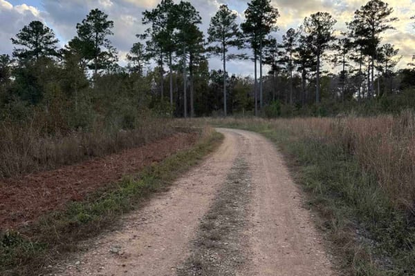
Mud Creek Road
The Mud Creek Road connects GA-62 at the north entrance and the Seven Bridge Road at the south end. The trail gives you access to the Gut Pit and several other trails in the Chickasawhatchee Wildlife Management Area. The road conditions are a mixture of packed sand, loose sand, and some deep holes t...
Learn more about Mud Creek Road
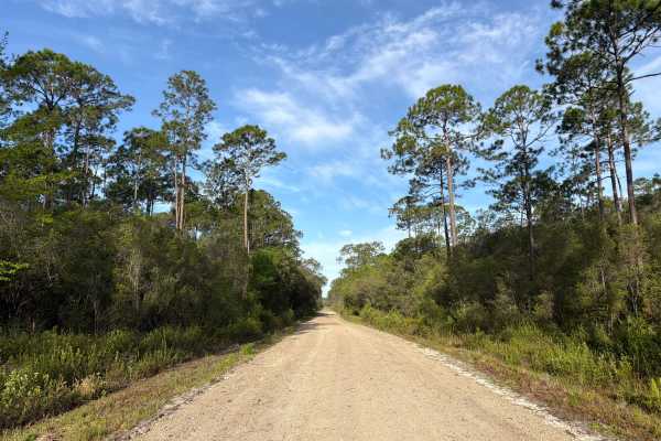
Evano West - FS 103
Evano West, also known as Apalachicola National Forest Road 103, connects Evano South at the west end and County Road 65 at the east end. It takes you through the southwest part of the Apalachicola National Forest along Western Branch and gives you access to a few OHV and off-road trails in the area...
Learn more about Evano West - FS 103
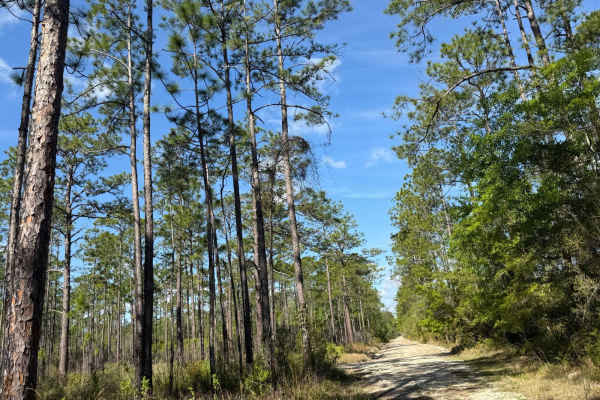
Evano Trail
Freshly graded and well-maintained, this main thoroughfare cuts through Tates Hell with ease. It's a wide, fast-moving route ideal for connecting deeper into the forest or staging for a day of trail exploration. The surface is smooth hardpack with minimal obstacles, making it suitable for most vehic...
Learn more about Evano Trail
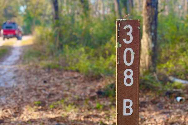
FS 308-B
Trail 308B is a dynamic single-lane sandy route that offers a bit of everything for the adventurous driver. Starting along the edge of private property, the trail quickly transitions into deeper forest terrain. Early sections reveal visible tornado damage, adding a raw and rugged feel to the landsca...
Learn more about FS 308-B
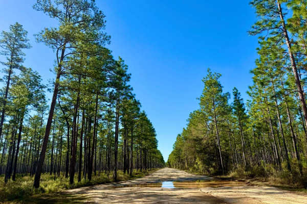
Buckhorn North - FS 360
This sandy and bumpy trail makes for a great connector route, linking to various parts of the forest and offering plenty of opportunities for further exploration. While most of the route is manageable, be prepared for one particularly muddy section that may require four-wheel drive. The trail winds ...
Learn more about Buckhorn North - FS 360
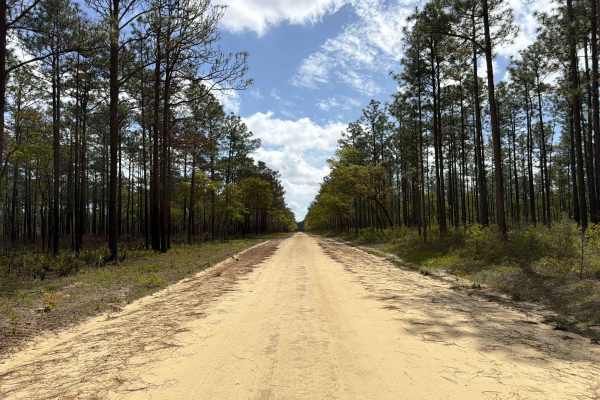
Cross Road - FS 320
The Cross Road Trail, also known as Apalachicola National Forest Road 320, connects County Road 375 at the west end and Otter Camp FS 344 at the east end. It takes you through the north-east part of the Apalachicola National Forest along Gulley Bay and gives you access to several OHV and off-road tr...
Learn more about Cross Road - FS 320
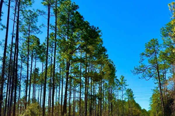
Bloxham Extension FS-342
This short connector may seem easy at first but don't underestimate it. While most of the trail rates around a two in difficulty, one deep water crossing with a muddy bottom drastically increases the challenge, pushing the rating up to a five. Proper recovery gear and a capable vehicle are highly re...
Learn more about Bloxham Extension FS-342
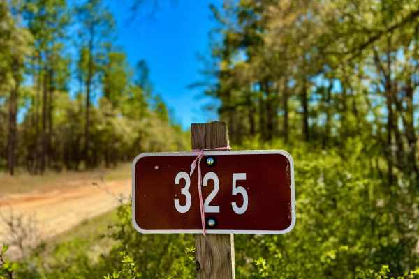
Baseline 325
This trail starts off the highway and quickly dives into a mix of wet and muddy terrain, with plenty of large puddles along the way. Some of these water holes can be deceptively deep, so picking the bypass on most is the safest option. With changing conditions depending on recent rainfall, this rout...
Learn more about Baseline 325

Forest Road 360-A
This short but exciting trail features deep water crossings beyond a certain point, making it a thrilling challenge for those prepared. Expect fun, muddy sections with big bog holes that can test your rig's capability. While it's a quick drive, the adventure is well worth it for those who enjoy wate...
Learn more about Forest Road 360-A
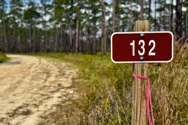
Hosford - FS 132
This bumpy, sandy two-track in the Apalachicola National Forest is a fairly uneventful route, serving primarily as a connector to more interesting nearby trails. While it doesn't offer much in terms of scenery or technical challenges, it's a solid option for covering ground or accessing deeper parts...
Learn more about Hosford - FS 132
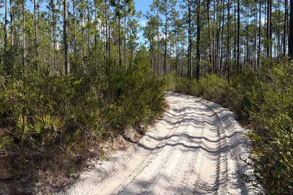
Holland Bypass - FS 308
The Holland Bypass, also known as Apalachicola National Forest Road 308, connects East Joe Thomas Road at the west end and Baseline 325 at the east end. It takes you through the north east part of the Apalachicola National Forest and gives you access to several OHV trails along Polk Creek and a Mud ...
Learn more about Holland Bypass - FS 308
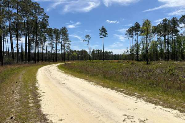
Little Gully Creek - FS 150
Little Gully Creek, also known as Apalachicola National Forest Road 150, is a dead-end road that starts at County Road 12. It takes you through the southwest part of the Apalachicola National Forest into the Johnson Juniper Swamp and gives you access to a few OHV trails and the Florida National Scen...
Learn more about Little Gully Creek - FS 150
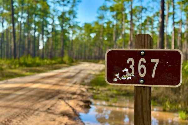
Gibson Trail- FS 367
Gibson Trail (Forest Service Road 367) is a sandy route with varying terrain, winding through a beautiful stand of mature pines. Rated a 2 in difficulty, it's an easy and enjoyable forest cruise perfect for a relaxing ride or beginner-friendly exploration. This trail also connects to a large interse...
Learn more about Gibson Trail- FS 367
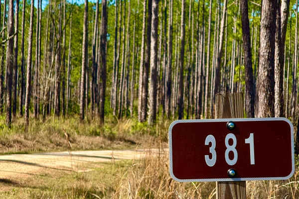
Bloxham - FS 381
This sandy route offers plenty of access to different areas of the forest, making it a key cut-through for off-road travel. With several spur roads branching off, it provides great opportunities to find tucked-away camping spots for a more secluded experience. The terrain is generally easy to naviga...
Learn more about Bloxham - FS 381
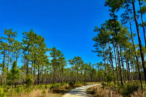
Freeman Bay - FS 382
This smooth and sandy trail offers a relaxing drive with easy access. A couple of spur roads along the way lead to nice little keyhole camp spots, perfect for a quiet retreat in the forest. While the trail isn't too challenging, soft sand may require four-wheel drive in some areas. A great option fo...
Learn more about Freeman Bay - FS 382
ATV trails near Jakin, Georgia
Explore ATV-friendly trails near you. These trails are accessible for vehicles up to 50 inches wide, perfect for ATVs and smaller off-road machines.
Seven Bridge Road
The Seven Bridge Road connects the Chickasawhatchee Road at the west end and the Mud Creek Road at the east end. The trail takes you through the Chickasawhatchee Wildlife Management Area and crosses the waterways several times. The road conditions are a mixture of packed sand, loose sand, and some d...
Learn more about Seven Bridge Road
Chickasawhatchee Road
The Chickasawhatchee Road connects the north entrance at GA-62 and the west entrance at GA-37. The trail gives you access to the Campground and several other trails in the Chickasawhatchee Wildlife Management Area. The road conditions are a mixture of packed sand, loose sand and some deep holes that...
Learn more about Chickasawhatchee Road
Pine Island Road
The Pine Island Road connects GA-62 at the north end and the Seven Bridge Road at the south end. The trail gives you access to the Mike Commander Shooting Range at the Chickasawhatchee Wildlife Management Area. The road conditions are a mixture of packed sand, loose sand, and some deep holes that ca...
Learn more about Pine Island Road
Mud Creek Road
The Mud Creek Road connects GA-62 at the north entrance and the Seven Bridge Road at the south end. The trail gives you access to the Gut Pit and several other trails in the Chickasawhatchee Wildlife Management Area. The road conditions are a mixture of packed sand, loose sand, and some deep holes t...
Learn more about Mud Creek Road
UTV/side-by-side trails near Jakin, Georgia
Find UTV and side-by-side trails near you. These trails accommodate vehicles up to 60 inches wide, ideal for UTVs, side-by-sides, and wider off-road rigs.
Seven Bridge Road
The Seven Bridge Road connects the Chickasawhatchee Road at the west end and the Mud Creek Road at the east end. The trail takes you through the Chickasawhatchee Wildlife Management Area and crosses the waterways several times. The road conditions are a mixture of packed sand, loose sand, and some d...
Learn more about Seven Bridge Road
Chickasawhatchee Road
The Chickasawhatchee Road connects the north entrance at GA-62 and the west entrance at GA-37. The trail gives you access to the Campground and several other trails in the Chickasawhatchee Wildlife Management Area. The road conditions are a mixture of packed sand, loose sand and some deep holes that...
Learn more about Chickasawhatchee Road
Pine Island Road
The Pine Island Road connects GA-62 at the north end and the Seven Bridge Road at the south end. The trail gives you access to the Mike Commander Shooting Range at the Chickasawhatchee Wildlife Management Area. The road conditions are a mixture of packed sand, loose sand, and some deep holes that ca...
Learn more about Pine Island Road
Mud Creek Road
The Mud Creek Road connects GA-62 at the north entrance and the Seven Bridge Road at the south end. The trail gives you access to the Gut Pit and several other trails in the Chickasawhatchee Wildlife Management Area. The road conditions are a mixture of packed sand, loose sand, and some deep holes t...
Learn more about Mud Creek Road
The onX Offroad Difference
onX Offroad combines trail photos, descriptions, difficulty ratings, width restrictions, seasonality, and more in a user-friendly interface. Available on all devices, with offline access and full compatibility with CarPlay and Android Auto. Discover what you're missing today!
Open Trail Map