
Dirt Bike Trails
Near Hawk Point, Missouri
Explore All Dirt Bike Trails Near Hawk Point, Missouri
Dirt Bike Trails Near Hawk Point, Missouri
Discover the best dirt bike trails near you. Browse trail maps, check difficulty ratings, and find your next adventure — whether you're looking for a quick ride or an all-day expedition.
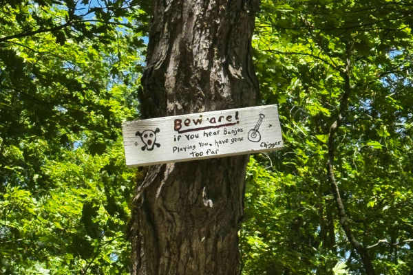
Beware of Banjos
These easy-to-moderate inner trails provide convenient access between major routes and obstacles throughout Vandyz Off Road Park. Expect generally smooth terrain with occasional mud, loose rocks, and tight wooded sections. Stay alert for oncoming traffic and changing trail conditions, especially aft...
Learn more about Beware of Banjos
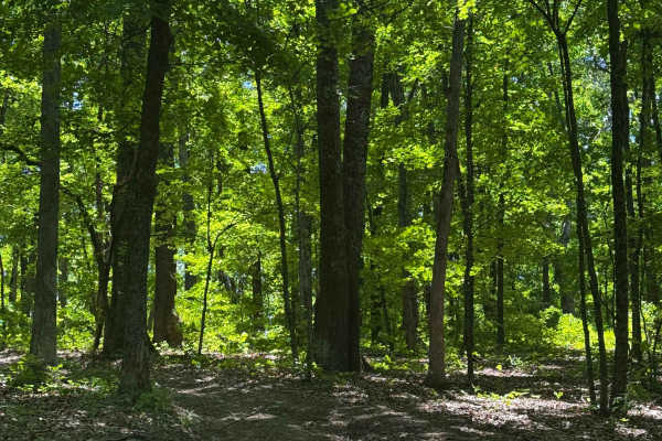
North Cut
These inner cut-through trails are found throughout Vandyz Off Road Park, providing convenient access between major trails, obstacles, and different sections of the property. Suitable for all skill levels, they offer an easy way to navigate the park without returning to the main routes. Be mindful o...
Learn more about North Cut
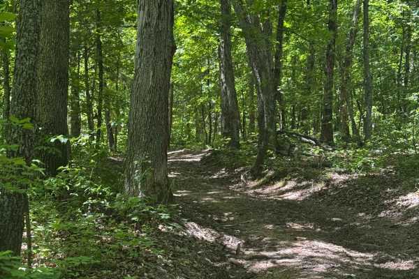
Freddy's Cut
These inner cut-through trails are found throughout Vandyz Off Road Park, providing convenient access between major trails, obstacles, and different sections of the property. Suitable for all skill levels, they offer an easy way to navigate the park without returning to the main routes. Be mindful o...
Learn more about Freddy's Cut
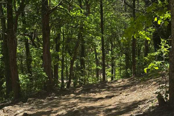
Flag Hill Bypass
These easy-to-moderate inner trails provide convenient access between major routes and obstacles throughout Vandyz Off Road Park. Expect generally smooth terrain with occasional mud, loose rocks, and tight wooded sections. Stay alert for oncoming traffic and changing trail conditions, especially aft...
Learn more about Flag Hill Bypass
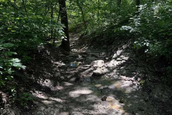
Inner Track 30
These easy-to-moderate inner trails provide convenient access between major routes and obstacles throughout Vandyz Off Road Park. Expect generally smooth terrain with occasional mud, loose rocks, and tight wooded sections. Stay alert for oncoming traffic and changing trail conditions, especially aft...
Learn more about Inner Track 30
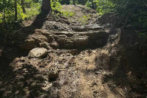
Mailbox HIll
These easy-to-moderate inner trails provide convenient access between major routes and obstacles throughout Vandyz Off Road Park. Expect generally smooth terrain with occasional mud, loose rocks, and tight wooded sections. Stay alert for oncoming traffic and changing trail conditions, especially aft...
Learn more about Mailbox HIll
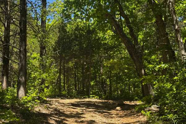
Hill Climb 40
These easy-to-moderate inner trails provide convenient access between major routes and obstacles throughout Vandyz Off Road Park. Expect generally smooth terrain with occasional mud, loose rocks, and tight wooded sections. Stay alert for oncoming traffic and changing trail conditions, especially aft...
Learn more about Hill Climb 40
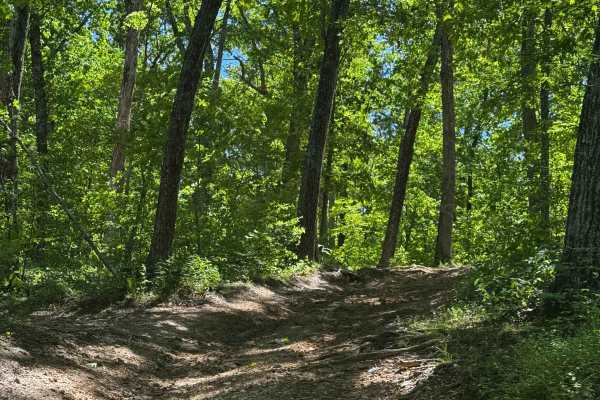
Inner Track 90
These easy-to-moderate inner trails provide convenient access between major routes and obstacles throughout Vandyz Off Road Park. Expect generally smooth terrain with occasional mud, loose rocks, and tight wooded sections. Stay alert for oncoming traffic and changing trail conditions, especially aft...
Learn more about Inner Track 90
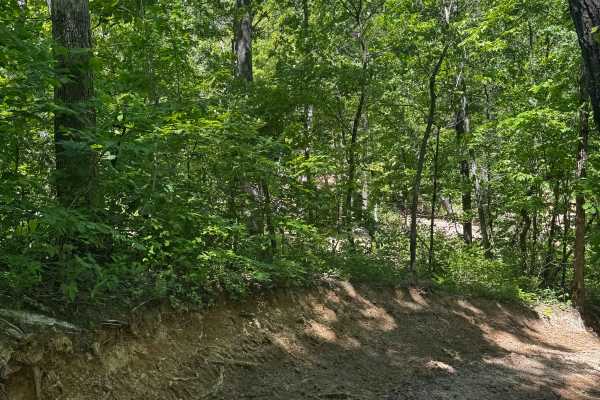
Death 4 Subaru
These easy-to-moderate inner trails provide convenient access between major routes and obstacles throughout Vandyz Off Road Park. Expect generally smooth terrain with occasional mud, loose rocks, and tight wooded sections. Stay alert for oncoming traffic and changing trail conditions, especially aft...
Learn more about Death 4 Subaru
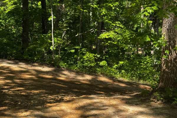
Inner Track 28
These easy-to-moderate inner trails provide convenient access between major routes and obstacles throughout Vandyz Off Road Park. Expect generally smooth terrain with occasional mud, loose rocks, and tight wooded sections. Stay alert for oncoming traffic and changing trail conditions, especially aft...
Learn more about Inner Track 28
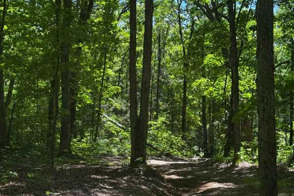
Quick Cut
These inner cut-through trails are found throughout Vandyz Off Road Park, providing convenient access between major trails, obstacles, and different sections of the property. Suitable for all skill levels, they offer an easy way to navigate the park without returning to the main routes. Be mindful o...
Learn more about Quick Cut
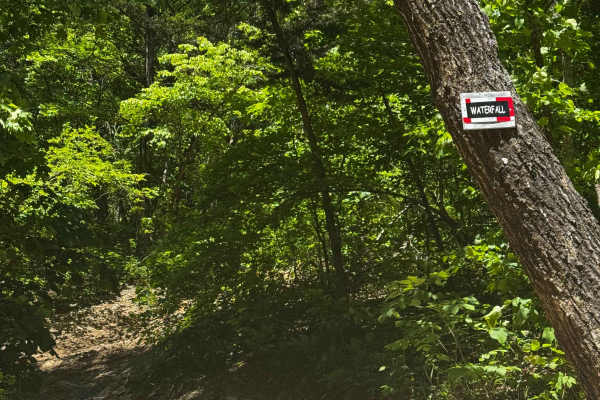
Waterfall Hill
A beautiful trail that climbs steadily uphill before leading into a challenging waterfall rock obstacle. This is one of the park's most popular features and a favorite among experienced off-road enthusiasts. If your rig is properly equipped and capable, this technical climb is a must-see and should ...
Learn more about Waterfall Hill
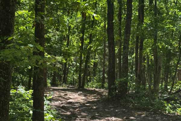
Inner Trail 42
These easy-to-moderate inner trails provide convenient access between major routes and obstacles throughout Vandyz Off Road Park. Expect generally smooth terrain with occasional mud, loose rocks, and tight wooded sections. Stay alert for oncoming traffic and changing trail conditions, especially aft...
Learn more about Inner Trail 42
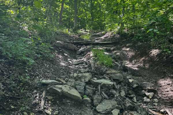
Big Stepper
An absolute favorite among serious off-road enthusiasts, this trail features a massive rock ledge obstacle with a consistently wet, slick base that challenges both driver skill and vehicle capability. Built for well-equipped rigs, it rewards careful line selection, traction, and confidence. Expect a...
Learn more about Big Stepper
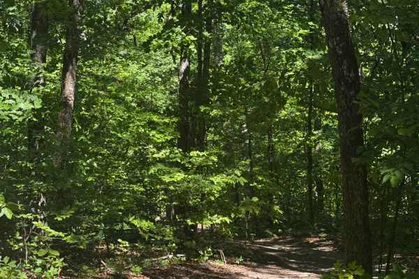
Inner Cut 69
These easy-to-moderate inner trails provide convenient access between major routes and obstacles throughout Vandyz Off Road Park. Expect generally smooth terrain with occasional mud, loose rocks, and tight wooded sections. Stay alert for oncoming traffic and changing trail conditions, especially aft...
Learn more about Inner Cut 69
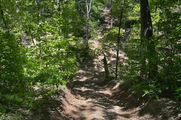
Inner Cut 82
These easy-to-moderate inner trails provide convenient access between major routes and obstacles throughout Vandyz Off Road Park. Expect generally smooth terrain with occasional mud, loose rocks, and tight wooded sections. Stay alert for oncoming traffic and changing trail conditions, especially aft...
Learn more about Inner Cut 82
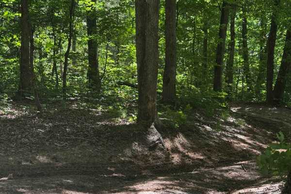
Red Canyon
A very popular trail for serious flexing and technical driving, this route is packed with obstacles that will test your suspension and driving skills. Deep red clay, severe washouts, and constantly changing terrain keep every run exciting. Expect challenging conditions, especially after rain, and be...
Learn more about Red Canyon
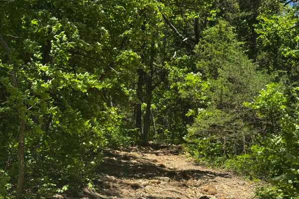
AJ's Bypass
These easy-to-moderate inner trails provide convenient access between major routes and obstacles throughout Vandyz Off Road Park. Expect generally smooth terrain with occasional mud, loose rocks, and tight wooded sections. Stay alert for oncoming traffic and changing trail conditions, especially aft...
Learn more about AJ's Bypass
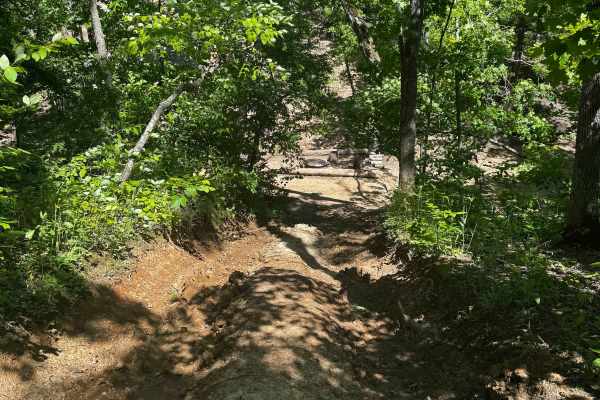
Hill Climb Love Seat
These easy-to-moderate inner trails provide convenient access between major routes and obstacles throughout Vandyz Off Road Park. Expect generally smooth terrain with occasional mud, loose rocks, and tight wooded sections. Stay alert for oncoming traffic and changing trail conditions, especially aft...
Learn more about Hill Climb Love Seat
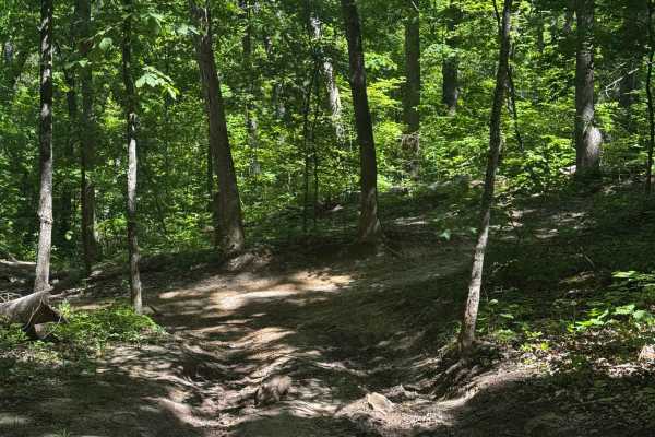
Inner Cut 70
These inner cut-through trails are found throughout Vandyz Off Road Park, providing convenient access between major trails, obstacles, and different sections of the property. Suitable for all skill levels, they offer an easy way to navigate the park without returning to the main routes. Be mindful o...
Learn more about Inner Cut 70
ATV trails near Hawk Point, Missouri
Explore ATV-friendly trails near you. These trails are accessible for vehicles up to 50 inches wide, perfect for ATVs and smaller off-road machines.
Beware of Banjos
These easy-to-moderate inner trails provide convenient access between major routes and obstacles throughout Vandyz Off Road Park. Expect generally smooth terrain with occasional mud, loose rocks, and tight wooded sections. Stay alert for oncoming traffic and changing trail conditions, especially aft...
Learn more about Beware of Banjos
North Cut
These inner cut-through trails are found throughout Vandyz Off Road Park, providing convenient access between major trails, obstacles, and different sections of the property. Suitable for all skill levels, they offer an easy way to navigate the park without returning to the main routes. Be mindful o...
Learn more about North Cut
Freddy's Cut
These inner cut-through trails are found throughout Vandyz Off Road Park, providing convenient access between major trails, obstacles, and different sections of the property. Suitable for all skill levels, they offer an easy way to navigate the park without returning to the main routes. Be mindful o...
Learn more about Freddy's Cut
Flag Hill Bypass
These easy-to-moderate inner trails provide convenient access between major routes and obstacles throughout Vandyz Off Road Park. Expect generally smooth terrain with occasional mud, loose rocks, and tight wooded sections. Stay alert for oncoming traffic and changing trail conditions, especially aft...
Learn more about Flag Hill Bypass
UTV/side-by-side trails near Hawk Point, Missouri
Find UTV and side-by-side trails near you. These trails accommodate vehicles up to 60 inches wide, ideal for UTVs, side-by-sides, and wider off-road rigs.
Beware of Banjos
These easy-to-moderate inner trails provide convenient access between major routes and obstacles throughout Vandyz Off Road Park. Expect generally smooth terrain with occasional mud, loose rocks, and tight wooded sections. Stay alert for oncoming traffic and changing trail conditions, especially aft...
Learn more about Beware of Banjos
North Cut
These inner cut-through trails are found throughout Vandyz Off Road Park, providing convenient access between major trails, obstacles, and different sections of the property. Suitable for all skill levels, they offer an easy way to navigate the park without returning to the main routes. Be mindful o...
Learn more about North Cut
Freddy's Cut
These inner cut-through trails are found throughout Vandyz Off Road Park, providing convenient access between major trails, obstacles, and different sections of the property. Suitable for all skill levels, they offer an easy way to navigate the park without returning to the main routes. Be mindful o...
Learn more about Freddy's Cut
Flag Hill Bypass
These easy-to-moderate inner trails provide convenient access between major routes and obstacles throughout Vandyz Off Road Park. Expect generally smooth terrain with occasional mud, loose rocks, and tight wooded sections. Stay alert for oncoming traffic and changing trail conditions, especially aft...
Learn more about Flag Hill Bypass
The onX Offroad Difference
onX Offroad combines trail photos, descriptions, difficulty ratings, width restrictions, seasonality, and more in a user-friendly interface. Available on all devices, with offline access and full compatibility with CarPlay and Android Auto. Discover what you're missing today!
Open Trail Map