
Dirt Bike Trails
Near Hartville, Missouri
Explore All Dirt Bike Trails Near Hartville, Missouri
Dirt Bike Trails Near Hartville, Missouri
Discover the best dirt bike trails near you. Browse trail maps, check difficulty ratings, and find your next adventure — whether you're looking for a quick ride or an all-day expedition.
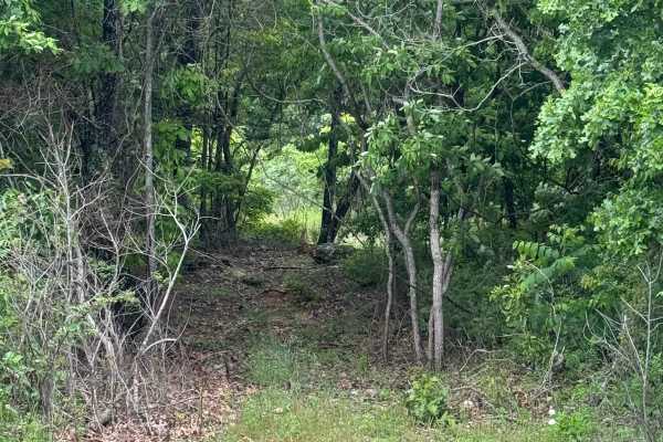
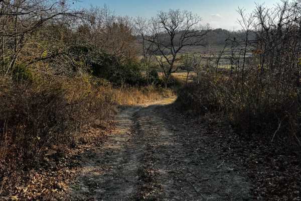
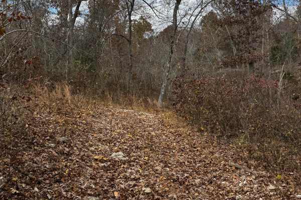
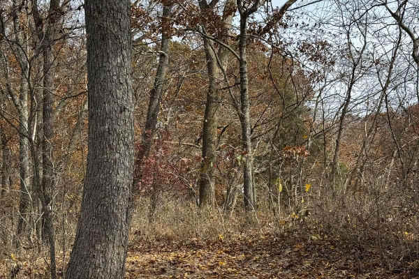
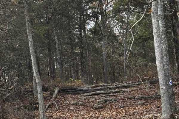
Hudson's Hideaway
This is a rock-notch in between pass-throughs to test articulation/vehicle pivoting skills. Recommended high clearance/larger tires.
Learn more about Hudson's Hideaway
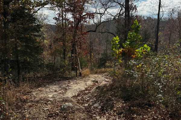
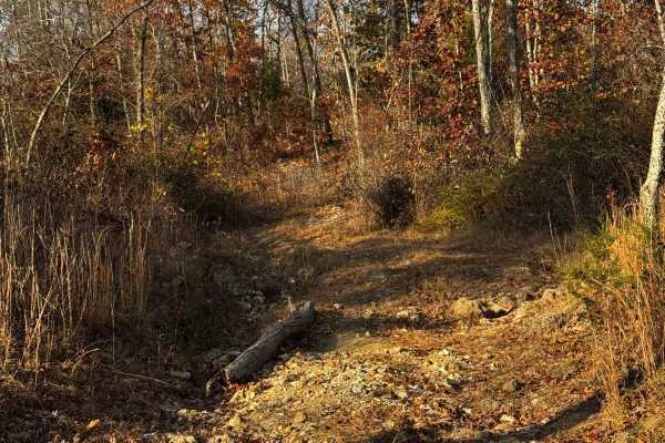
Loggers Trail / Heavens Stairs Connection
As the trail name states this is just a quick and convenient access trail to help access from the loggers trail to Heavens Stairs easily. Please remember to do your part in helping the park and keeping the trails clean for the enjoyment of others. Be mindful of traffic in this area.
Learn more about Loggers Trail / Heavens Stairs Connection
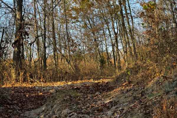
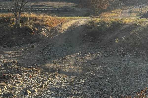
Heavens Stairs Middle Section
This trail is the easiest of the options for going up Heavens Stairs. Although featuring optional obstacles this section allows you to make it up to the top with minimal issues. The trail is still very steep and loose but not really as rugged as the surrounding sections. Make sure to be mindful of o...
Learn more about Heavens Stairs Middle Section
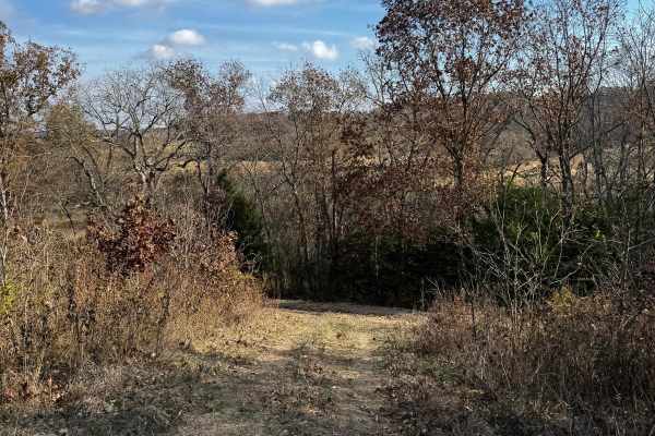
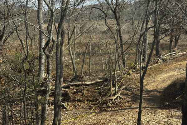
OnX Crossing
This fun beautiful trail was named after our dear friends @ OnX featuring some of the best spaces for camping with your buddies and enjoying some absolutely beautiful scenery located in the north section of the park. It's not the most difficult by any means but it sure is very enjoyable.
Learn more about OnX Crossing
Heavens Stairs R2
This is 1 of the 5 optional challenges on the heavens stairs. This particular climb features some of the gnarliest washouts, climbs, and rocks you can get your paws on. This is absolutely not recommended for vehicles that are on less than 37-inch tires. This is a truly buggy territory, please be min...
Learn more about Heavens Stairs R2
Stairway Climb 2
This particular section of the stairway is absolutely bananas. We highly suggest you are aware of what you're getting into before putting tires down. The trail has monster washouts, ruts, and rocks that will absolutely show you who's boss. Be mindful of others on the trail, and please help keep the ...
Learn more about Stairway Climb 2
Heavens Stairs L1
Part of the "heavens stairs" collection of trails L1 is by far one of the easier ways to the top of the hill featuring only loose terrain and a steep grade makes it an ideal spot to get good eyes on the action going on around you on other trails.
Learn more about Heavens Stairs L1
Kanes Right Side
Kanes Right Side is a very challenging rocky trail that will demand some serious capabilities from your rig. Large rocks and steep loose terrain will keep you on your toes and if you're not careful you may high be in for some damage so choose your lines carefully. Be safe and remember to help keep t...
Learn more about Kanes Right Side
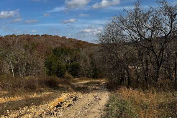
Waterfall Access
This trail will take you to the waterfall where you are surrounded by options for trails ranging in difficulty. This is one of the best areas to find yourself in the park. This trail features obstacles from mild to wild. Please be respectful of others on the trail and help keep the park clean for ot...
Learn more about Waterfall Access
Brett's Cherry
Brett's Cherry is a mildly challenging trail featuring some larger rocks and a bit more of a washout section that's fun for most vehicles. This is also a good access trail to get to the waterfall. Please be mindful of others on the trails and do your part to help keep the park clean.
Learn more about Brett's Cherry
Kanes Candy Lane
Kanes Candy Lane is a challenging trail featuring large rocks, loose terrain, and steep angles that make for a fun trail that will keep you on your toes be mindful of the rocks that may damage lower-lying sections of your vehicle. Be mindful of others on the trail, and remember to keep the trails cl...
Learn more about Kanes Candy Lane
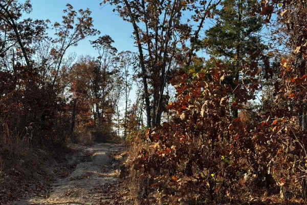
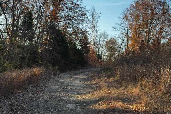
Loggers Trail
This longer trail features a few pit stops along the way also some beautiful scenery as you make your way through. Loose rocks and small washouts will be apparent check out the pond while you're there and please make sure you are mindful of others and help take care of the trash in the park.
Learn more about Loggers Trail
Bounty Hill Access
Bounty Hill Access is for those wanting to check out the hardcore climbs in the park. It is typically used for events or those with buggies who are looking for an extreme challenge. Be mindful of the area as there may be a lot of vehicles in the area during event days.
Learn more about Bounty Hill Access
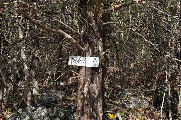
Deer Crossing (X)
Deer Crossing is a fun intermediate-level trail featuring some fun rock sections and washouts giving you some opportunities to put that suspension to work. There is beautiful scenery and lots of opportunities to get into some nasty obstacles in the area. Please be mindful of others and help keep the...
Learn more about Deer Crossing (X)
Frog
Frog is a quick trail featuring a few small obstacles and can vary in difficulty depending on the weather. This starts down at the mud pit and intersects with deer crossing. Be mindful of others on the trail and please remember to help keep the park clean for everyone to enjoy.
Learn more about Frog
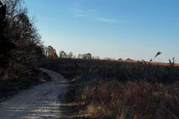
Bluff Run
Bluff Run is a bit of a lengthier trail consisting of some fun challenges and terrain that will keep you on your toes. Be mindful of others on this trail as it intersects with a few other trails in the area. Please help keep the trail clean for others to enjoy.
Learn more about Bluff Run
XJ killer
As stated by its name (XJ Killer) it's pretty likely that your rig will NOT be the same after this trail has had its way with you. There are nasty rocks steep obstacles and nothing but skinny peddles to help get you through this section. Be safe and mindful of others.
Learn more about XJ killer

OG Rib Cage
This trail is as short and not sweet as they come. OG ribcage is a nasty obstacle featuring a steep and loose climb on a big rock face. This trail is not for the faint of heart so be mindful before trying your hand at this one. Please be mindful of others on the trail and do your part to help keep t...
Learn more about OG Rib Cage
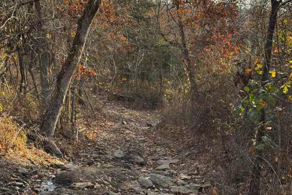
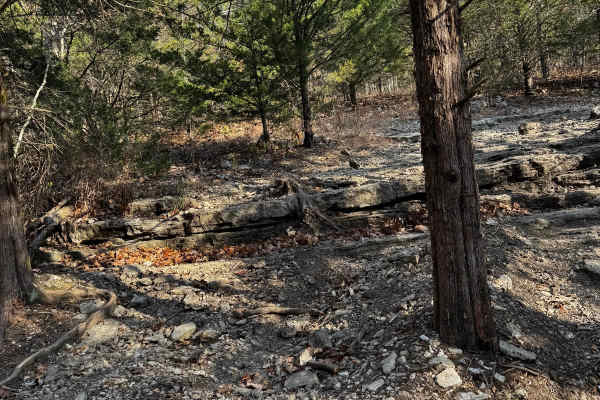
Rocky Road
The name is pretty self-explanatory on this trail. Rocky Road features large rocks, small rocks, and everything in between big ledges and obstacles will keep you on your toes while you navigate through some rugged terrain. Pick your lines wisely and remember to be mindful of others on the trail.
Learn more about Rocky Road
MX Cross Access
Just a quick and easy-access trail to the motocross track. This trail is not difficult but very convenient to have the ability to use shortcuts and cutouts all over the park to reach certain areas and locations. Be mindful of others and make sure to keep the areas clean for others.
Learn more about MX Cross Access
ATV trails near Hartville, Missouri
Explore ATV-friendly trails near you. These trails are accessible for vehicles up to 50 inches wide, perfect for ATVs and smaller off-road machines.
Hudson's Hideaway
This is a rock-notch in between pass-throughs to test articulation/vehicle pivoting skills. Recommended high clearance/larger tires.
Learn more about Hudson's Hideaway
Loggers Trail / Heavens Stairs Connection
As the trail name states this is just a quick and convenient access trail to help access from the loggers trail to Heavens Stairs easily. Please remember to do your part in helping the park and keeping the trails clean for the enjoyment of others. Be mindful of traffic in this area.
Learn more about Loggers Trail / Heavens Stairs Connection
Heavens Stairs Middle Section
This trail is the easiest of the options for going up Heavens Stairs. Although featuring optional obstacles this section allows you to make it up to the top with minimal issues. The trail is still very steep and loose but not really as rugged as the surrounding sections. Make sure to be mindful of o...
Learn more about Heavens Stairs Middle Section
OnX Crossing
This fun beautiful trail was named after our dear friends @ OnX featuring some of the best spaces for camping with your buddies and enjoying some absolutely beautiful scenery located in the north section of the park. It's not the most difficult by any means but it sure is very enjoyable.
Learn more about OnX Crossing
UTV/side-by-side trails near Hartville, Missouri
Find UTV and side-by-side trails near you. These trails accommodate vehicles up to 60 inches wide, ideal for UTVs, side-by-sides, and wider off-road rigs.
Hudson's Hideaway
This is a rock-notch in between pass-throughs to test articulation/vehicle pivoting skills. Recommended high clearance/larger tires.
Learn more about Hudson's Hideaway
Loggers Trail / Heavens Stairs Connection
As the trail name states this is just a quick and convenient access trail to help access from the loggers trail to Heavens Stairs easily. Please remember to do your part in helping the park and keeping the trails clean for the enjoyment of others. Be mindful of traffic in this area.
Learn more about Loggers Trail / Heavens Stairs Connection
Heavens Stairs Middle Section
This trail is the easiest of the options for going up Heavens Stairs. Although featuring optional obstacles this section allows you to make it up to the top with minimal issues. The trail is still very steep and loose but not really as rugged as the surrounding sections. Make sure to be mindful of o...
Learn more about Heavens Stairs Middle Section
OnX Crossing
This fun beautiful trail was named after our dear friends @ OnX featuring some of the best spaces for camping with your buddies and enjoying some absolutely beautiful scenery located in the north section of the park. It's not the most difficult by any means but it sure is very enjoyable.
Learn more about OnX Crossing
The onX Offroad Difference
onX Offroad combines trail photos, descriptions, difficulty ratings, width restrictions, seasonality, and more in a user-friendly interface. Available on all devices, with offline access and full compatibility with CarPlay and Android Auto. Discover what you're missing today!
Open Trail Map