
Dirt Bike Trails
Near Hamilton, Mississippi
Explore All Dirt Bike Trails Near Hamilton, Mississippi
Dirt Bike Trails Near Hamilton, Mississippi
Discover the best dirt bike trails near you. Browse trail maps, check difficulty ratings, and find your next adventure — whether you're looking for a quick ride or an all-day expedition.
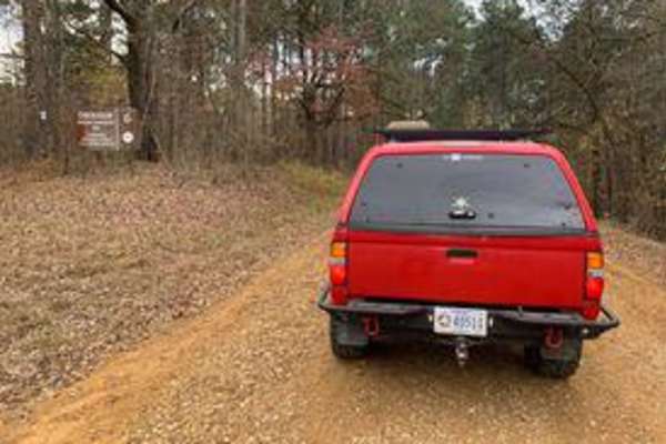
Witch Dance Hill
This trail is an old gravel road. Nothing technical, but offers peaceful scenery. There isn't a lot of traffic, so you can take your time. This road runs through the Tombigbee National Forest.
Learn more about Witch Dance Hill
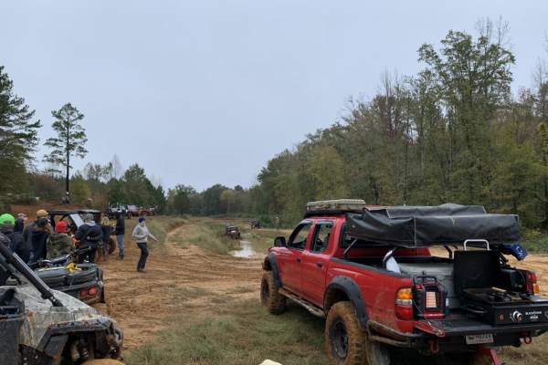
The Gutter
This trail is within a public mud park open only on specific weekends. Barnyard Mud Boggers or BMB offer more than 700 acres of land to ride. The Gutter trail isn't technical unless rain has made it slick. There are many other trails in this area.
Learn more about The Gutter
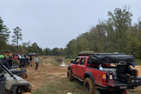
WaterFall Alley
WaterFall Alley is an exciting off-road loop designed for riders looking to test their skills against slick elevation changes and muddy terrain within the Barnyard Mud Boggers (BMB) off-road park. Located in Fulton, Mississippi, along the Tombigbee River, this park spans over 700 acres of prime mud-...
Learn more about WaterFall Alley
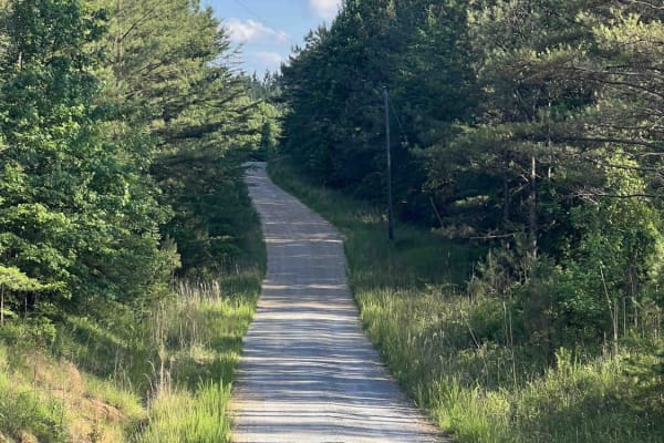
Meadow Creek Road
Meadow Creek Road or Winston County 357 is a maintained public gravel road running North from Highway 278 through Pine Timber Forestlands to Yankee Trace Road just before Highway 13. Meadow Creek Road offers an easy drive with ample opportunity for wildlife viewing as well as great views of the surr...
Learn more about Meadow Creek Road
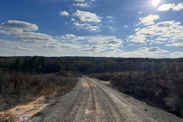
CR339
County Road 339 is a somewhat maintained public gravel road that offers great views of the surrounding area for those looking to get off the beaten path. Running from Alabama Highway 5 east to Rocky Plains Road, CR339 winds through prime Alabama Forestland, into creek bottoms, and along ridgetops. R...
Learn more about CR339
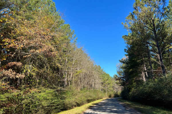
Bylor RD - FS 203
Starting at FS203, this scenic route transitions from pavement to gravel, leading you deep into the heart of the Bankhead National Forest. Along the way, it passes the historic Kinlock Lookout on Bylor Road, a notable landmark in the area. Forest Service Road 203 is a well-maintained two-track trail...
Learn more about Bylor RD - FS 203
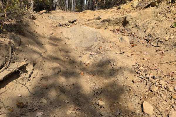
Round the Mountain
Round the Mountain's accurate name allows you to bypass the hill climb of High Point Hill, but puts you in a rougher hill climb with exposed rock edges. The erosion is causing the rock ledges to become evident and more difficult. The bottom part that loops around the mountain is a lush forest canopy...
Learn more about Round the Mountain
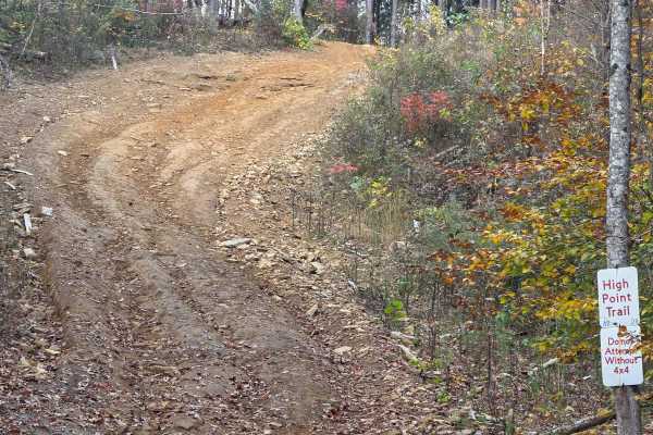
High Point Hill
High Point Hill at Northwest Alabama Mountain Park is a ridge-top trail with a well-hidden view. Access to this hill is becoming increasingly difficult, and it is located in the back corner of the park. The most direct path to the top of High Point Hill is the steep, smooth grade that takes you to t...
Learn more about High Point Hill
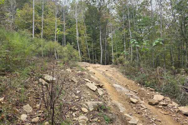
Pounder's Place
Pounders Place at Northwest Alabama Mountain Ride is a great trail to escape the hustle and bustle at the back of the park. This trail coasts up and down the mountain sides and tucks into the hillsides. This trail features short steep grades, mud holes, dirt and loose rock. At the end of the trail, ...
Learn more about Pounder's Place
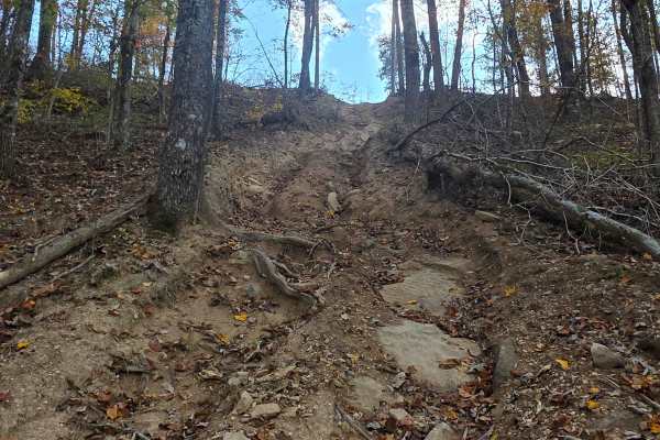
Gravelanche Hill
Gravelanche Hill is like walking on a pile of marbles! This avalanche of pea gravel acts like a mud pit and sucks you in, and to make matters worse, it's a straight uphill climb. To make it the bouncer trifecta, it offers slick roots and exposed rock faces. Does your rig have what it takes to conque...
Learn more about Gravelanche Hill
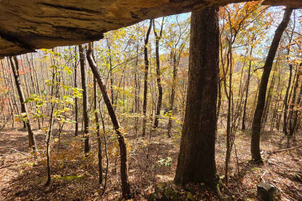
3 Caves
Grab your hard hats and flashlights! This mountainside erosion wonder features a rock face with 3 distinct holes that are elevated off the ground. The trail up to 3 caves can start out as a very short grade climb to a flat, smooth dirt trail with mud holes scattered throughout. The pull-off to the c...
Learn more about 3 Caves
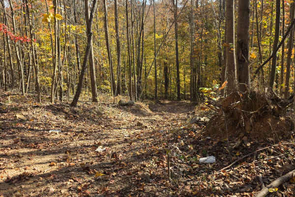
Hot Wheels
Hot Wheels is an easy riding trail that loops around High Point Hill, giving access to a plethora of other trails. The start of the trail is a dirt-filled wood line and passes through a large clearing of DJ Flake. Once through the intersection, it will close in with dense brush and forest. The loop ...
Learn more about Hot Wheels
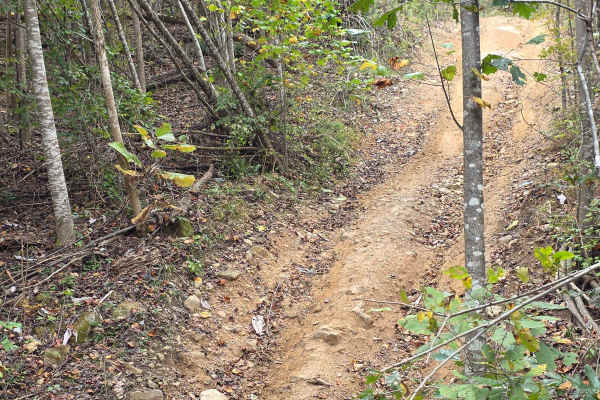
Cul-De-Sak
Do you remember the great hide out spot in the back of the neighborhood when you were a kid? That is the great feeling of being at the back of the Cul-De-Sak. It is the loop around spot at the back of the park that turns you around on the Main Road to head back. There is not much to see on this acce...
Learn more about Cul-De-Sak
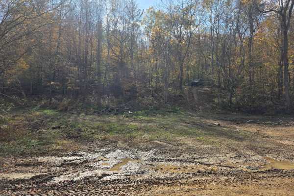
Right Turn
Right Turn is the simpler version of its parallel trail, Wrong Turn. Right turn features small, gradual hill climbs with hard-packed dirt and one off-camber section, but does not show signs of a potential rollover spot. The closer you get to the end of this trail, you will find it dips down and come...
Learn more about Right Turn
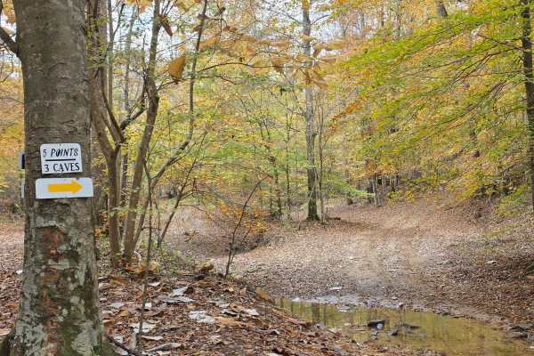
High Point Access
High Point Access is a mild cruising trail that offers small mud holes and a creek crossing. Along the way, you will find a trail that is reminiscent of a rarely travelled road covered in leaf litter and has thick vegetation. The end of High Point Access is harder than the rest of the trail, with it...
Learn more about High Point Access
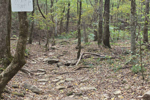
Wrong Turn
Wrong Turn is a great name for this trail, as it could have you guessing if you should have even turned onto this trail! This trail boasts massive boulders from landslides, washouts, and slabs that grab your axles and don't let go. This jungle-themed rock bed offers surprisingly good grip up until t...
Learn more about Wrong Turn
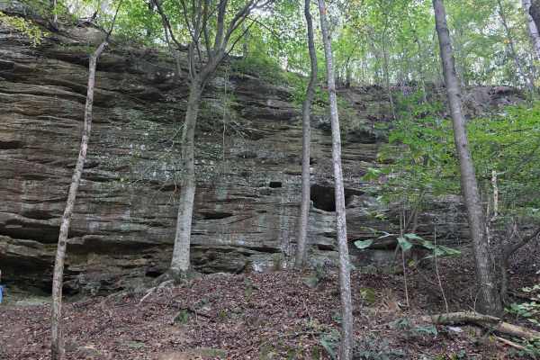
Rock Wall Trail
The Rock Wall Trail is one that should be on the 7 Wonders of Alabama. This formation at the end of the trail is a breathtaking example of the beauty that Northwest Alabama Mountain Ride Park has to offer. The route to this trail is a winding dirt and mud-covered trail, but it is worth the view at t...
Learn more about Rock Wall Trail
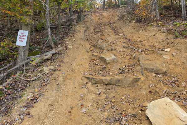
DJ Flake
DJ Flake is a near-vertical trail that requires all of the speed and torque to be able to make it up. This extremely steep grade is even difficult to walk standing up. The deep ruts have large bump-outs that can easily cause you to flip backwards. This red clay soil can be sticky at the bottom of th...
Learn more about DJ Flake
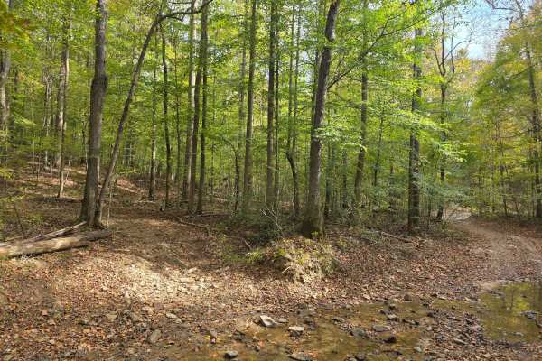
Tin Top Ridge
Tin Top Ridge allows you to explore the southernmost tip of the park before you enter the section of Bankhead National Forest. Tin Top Ridge offers erosion arches similar to the earthly architecture you would experience out west. Adjacent to the arches is a massive rock wall that seems unreachable d...
Learn more about Tin Top Ridge
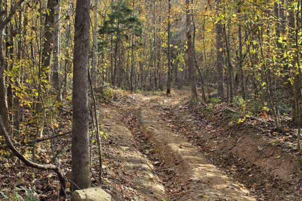
Cave Hollow Road
Cave Hollow Road is the access road to take you to 3 Caves trail. It is a gradual uphill climb in two sections. The first section features deeper ruts than the upper section, while the upper section features more vegetation overgrowth. In the middle between the two sections you will run a small port...
Learn more about Cave Hollow Road
ATV trails near Hamilton, Mississippi
Explore ATV-friendly trails near you. These trails are accessible for vehicles up to 50 inches wide, perfect for ATVs and smaller off-road machines.
Witch Dance Hill
This trail is an old gravel road. Nothing technical, but offers peaceful scenery. There isn't a lot of traffic, so you can take your time. This road runs through the Tombigbee National Forest.
Learn more about Witch Dance Hill
The Gutter
This trail is within a public mud park open only on specific weekends. Barnyard Mud Boggers or BMB offer more than 700 acres of land to ride. The Gutter trail isn't technical unless rain has made it slick. There are many other trails in this area.
Learn more about The Gutter
WaterFall Alley
WaterFall Alley is an exciting off-road loop designed for riders looking to test their skills against slick elevation changes and muddy terrain within the Barnyard Mud Boggers (BMB) off-road park. Located in Fulton, Mississippi, along the Tombigbee River, this park spans over 700 acres of prime mud-...
Learn more about WaterFall Alley
Meadow Creek Road
Meadow Creek Road or Winston County 357 is a maintained public gravel road running North from Highway 278 through Pine Timber Forestlands to Yankee Trace Road just before Highway 13. Meadow Creek Road offers an easy drive with ample opportunity for wildlife viewing as well as great views of the surr...
Learn more about Meadow Creek Road
UTV/side-by-side trails near Hamilton, Mississippi
Find UTV and side-by-side trails near you. These trails accommodate vehicles up to 60 inches wide, ideal for UTVs, side-by-sides, and wider off-road rigs.
Meadow Creek Road
Meadow Creek Road or Winston County 357 is a maintained public gravel road running North from Highway 278 through Pine Timber Forestlands to Yankee Trace Road just before Highway 13. Meadow Creek Road offers an easy drive with ample opportunity for wildlife viewing as well as great views of the surr...
Learn more about Meadow Creek Road
CR339
County Road 339 is a somewhat maintained public gravel road that offers great views of the surrounding area for those looking to get off the beaten path. Running from Alabama Highway 5 east to Rocky Plains Road, CR339 winds through prime Alabama Forestland, into creek bottoms, and along ridgetops. R...
Learn more about CR339
Bylor RD - FS 203
Starting at FS203, this scenic route transitions from pavement to gravel, leading you deep into the heart of the Bankhead National Forest. Along the way, it passes the historic Kinlock Lookout on Bylor Road, a notable landmark in the area. Forest Service Road 203 is a well-maintained two-track trail...
Learn more about Bylor RD - FS 203
Round the Mountain
Round the Mountain's accurate name allows you to bypass the hill climb of High Point Hill, but puts you in a rougher hill climb with exposed rock edges. The erosion is causing the rock ledges to become evident and more difficult. The bottom part that loops around the mountain is a lush forest canopy...
Learn more about Round the Mountain
The onX Offroad Difference
onX Offroad combines trail photos, descriptions, difficulty ratings, width restrictions, seasonality, and more in a user-friendly interface. Available on all devices, with offline access and full compatibility with CarPlay and Android Auto. Discover what you're missing today!
Open Trail Map