
Dirt Bike Trails
Near Guernsey, Wyoming
Explore All Dirt Bike Trails Near Guernsey, Wyoming
Dirt Bike Trails Near Guernsey, Wyoming
Discover the best dirt bike trails near you. Browse trail maps, check difficulty ratings, and find your next adventure — whether you're looking for a quick ride or an all-day expedition.
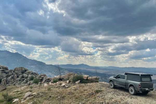
Black Mountain Lookout
Climb 1,700 feet of steep grades and switchbacks with loose rock, a few ledges, and boulders to the top of Black Mountain. At the summit is a historic fire lookout tower with a 360-degree view of the Laramie Peak unit of Medicine Bow-Routt National Forest. The beginning of this trail is an easement ...
Learn more about Black Mountain Lookout
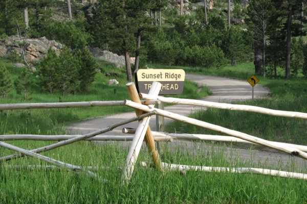
Sunset Ridge
This short ATV loop reaches the top of Sunset Ridge on the northern end of the Laramie Mountains where you'll find terrific views of the area's larger peaks and Wyoming's eastern plains. The loop begins in a pine forest and uses several tight switchbacks to gain the top of the ridge. From the rocky ...
Learn more about Sunset Ridge
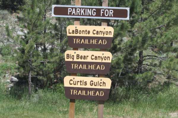
Labonte Canyon
The short trail through LaBonte Canyon is one of the most scenic motorized routes in the Laramie Mountains. This trip takes you through the riparian corridor of LaBonte Creek, bound by hills of granite and covered with apsens, shrubs, pines, and grassy meadows. The passage is rich with opportunities...
Learn more about Labonte Canyon
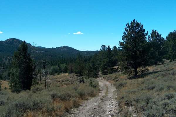
Big Bear Canyon/Devils Pass
Big Bear Canyon and its side trails around Devils Pass are among the best four-wheeling areas in the Laramie Mountains. Begin this trail system by fording LaBonte Creek on the south side of FR 658 and climb into a heavily-timbered canyon covered with ponderosa pines, quaking aspen, and massive bould...
Learn more about Big Bear Canyon/Devils Pass
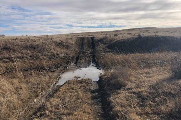
FR 562-Tri Point
This is one way to access the tri-point of Wyoming, South Dakota, and Nebraska. It's a beautiful trail through the Buffalo Gap National Grassland.There are 1-2 water crossings (seasonal) that can be muddy. You will share the road with cattle at times. Located in Fall River County, South Dakota, ther...
Learn more about FR 562-Tri Point
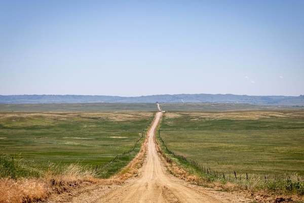
Pants Butte Road
From north to south, Pants Butte Road takes you through part of western Nebraska that makes you feel like you're driving through a painting. At both ends of the road, you're able to see for miles and miles, and the views do not disappoint. The road surface on the north half is mostly graded dirt, ev...
Learn more about Pants Butte Road
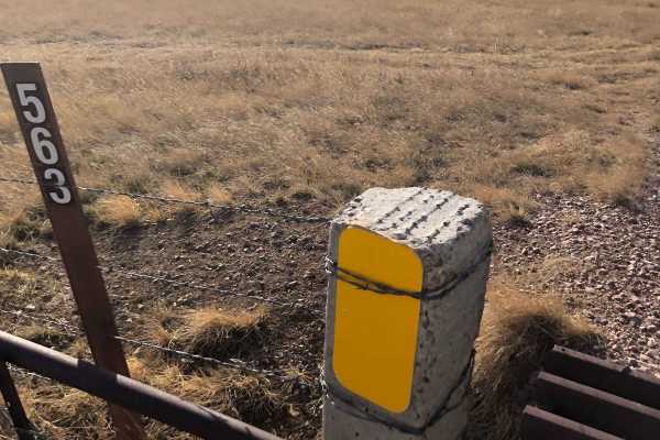
FS 563
This is a beautiful trail through the Buffalo Gap National Grassland in Fall River County, South Dakota. It has deep ruts and can be muddy. You will share the road with cattle at times. Hunting and camping are possible here, but check local regulations for both activities. You may see mule deer and ...
Learn more about FS 563
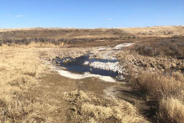
Trail 564
This is a trail within the Buffalo Gap National Grassland in Fall River County, South Dakota. It's mostly a trail through the scenic prairie and has 1-2 water crossings. There appear to be options for hunting and camping here--check local regulations on both activities. Watch out for mule deer and p...
Learn more about Trail 564
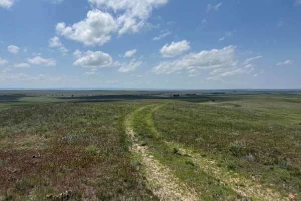
Prairie Dog - FR 925
Prairie Dog is an east-west trail that connects Hat Creek Road with Conklin (FR 924). The topography of the trail is very much like the others in the area, with rolling hills covered with mixed-grass prairie. The name of the trail is an obvious nod to the burrowing rodents that have created the thou...
Learn more about Prairie Dog - FR 925
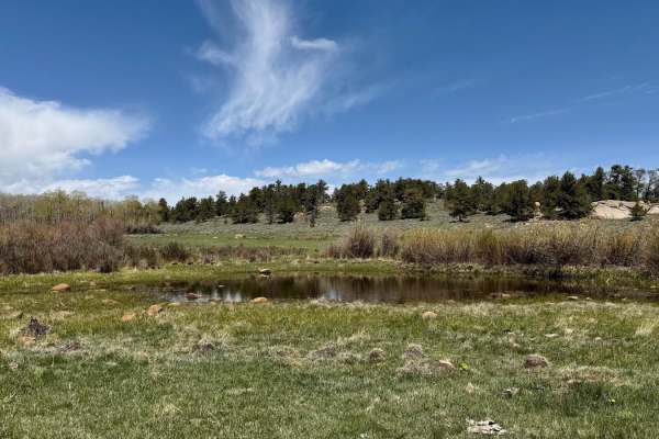
Weir 3 Road
This trail takes you through the northern part of the National Forest, offering a variety of views along the way. The eastern section features a more open landscape, with plenty of chances to spot wildlife. In contrast, the western portion is denser and rockier. At the west end of the trail, the Nor...
Learn more about Weir 3 Road
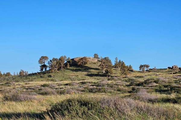
North Beaver Loop
This trail takes you through the north part of Pole Mountain. About halfway through, you will pass by an old uranium mine. It is filled in, but you can still walk around it. The northwest end of the trail has many beaver ponds right along the trail that offer good fishing. There are multiple gates a...
Learn more about North Beaver Loop
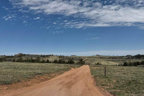
713
Head north on Road 713 to reach the trails that follow the northernmost edge of the National Forest. This is an excellent area for spotting wildlife and taking in expansive open views of the surrounding landscape. There are a few camping spots along the main route, but two spur roads near the beginn...
Learn more about 713
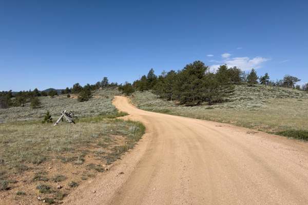
Telephone
Telephone is a portion of FR 712 that provides access to numerous side trails and dispersed campsites. The trail is well graded and generally two vehicles wide. A short section of the trail has buried rocks 2-6 inches, which may cause small bumps. The trail passes through open range with occasional ...
Learn more about Telephone
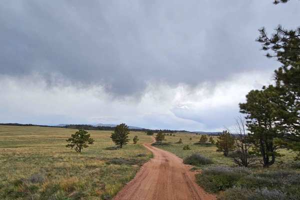
Rancher Loop
This trail takes you through the easternmost part of the Pole Mountain area. The trail is mostly smooth with some rock obstacles, as well as some deep holes that fill with water after a good rain. There are plenty of dispersed camping sites along the way. There is one spot that weaves between 2 tree...
Learn more about Rancher Loop
ATV trails near Guernsey, Wyoming
Explore ATV-friendly trails near you. These trails are accessible for vehicles up to 50 inches wide, perfect for ATVs and smaller off-road machines.
Black Mountain Lookout
Climb 1,700 feet of steep grades and switchbacks with loose rock, a few ledges, and boulders to the top of Black Mountain. At the summit is a historic fire lookout tower with a 360-degree view of the Laramie Peak unit of Medicine Bow-Routt National Forest. The beginning of this trail is an easement ...
Learn more about Black Mountain Lookout
Sunset Ridge
This short ATV loop reaches the top of Sunset Ridge on the northern end of the Laramie Mountains where you'll find terrific views of the area's larger peaks and Wyoming's eastern plains. The loop begins in a pine forest and uses several tight switchbacks to gain the top of the ridge. From the rocky ...
Learn more about Sunset Ridge
Labonte Canyon
The short trail through LaBonte Canyon is one of the most scenic motorized routes in the Laramie Mountains. This trip takes you through the riparian corridor of LaBonte Creek, bound by hills of granite and covered with apsens, shrubs, pines, and grassy meadows. The passage is rich with opportunities...
Learn more about Labonte Canyon
Big Bear Canyon/Devils Pass
Big Bear Canyon and its side trails around Devils Pass are among the best four-wheeling areas in the Laramie Mountains. Begin this trail system by fording LaBonte Creek on the south side of FR 658 and climb into a heavily-timbered canyon covered with ponderosa pines, quaking aspen, and massive bould...
Learn more about Big Bear Canyon/Devils Pass
UTV/side-by-side trails near Guernsey, Wyoming
Find UTV and side-by-side trails near you. These trails accommodate vehicles up to 60 inches wide, ideal for UTVs, side-by-sides, and wider off-road rigs.
Black Mountain Lookout
Climb 1,700 feet of steep grades and switchbacks with loose rock, a few ledges, and boulders to the top of Black Mountain. At the summit is a historic fire lookout tower with a 360-degree view of the Laramie Peak unit of Medicine Bow-Routt National Forest. The beginning of this trail is an easement ...
Learn more about Black Mountain Lookout
FR 562-Tri Point
This is one way to access the tri-point of Wyoming, South Dakota, and Nebraska. It's a beautiful trail through the Buffalo Gap National Grassland.There are 1-2 water crossings (seasonal) that can be muddy. You will share the road with cattle at times. Located in Fall River County, South Dakota, ther...
Learn more about FR 562-Tri Point
Pants Butte Road
From north to south, Pants Butte Road takes you through part of western Nebraska that makes you feel like you're driving through a painting. At both ends of the road, you're able to see for miles and miles, and the views do not disappoint. The road surface on the north half is mostly graded dirt, ev...
Learn more about Pants Butte Road
FS 563
This is a beautiful trail through the Buffalo Gap National Grassland in Fall River County, South Dakota. It has deep ruts and can be muddy. You will share the road with cattle at times. Hunting and camping are possible here, but check local regulations for both activities. You may see mule deer and ...
Learn more about FS 563
The onX Offroad Difference
onX Offroad combines trail photos, descriptions, difficulty ratings, width restrictions, seasonality, and more in a user-friendly interface. Available on all devices, with offline access and full compatibility with CarPlay and Android Auto. Discover what you're missing today!
Open Trail Map