
Dirt Bike Trails
Near Green Forest, Arkansas
Explore All Dirt Bike Trails Near Green Forest, Arkansas
Dirt Bike Trails Near Green Forest, Arkansas
Discover the best dirt bike trails near you. Browse trail maps, check difficulty ratings, and find your next adventure — whether you're looking for a quick ride or an all-day expedition.
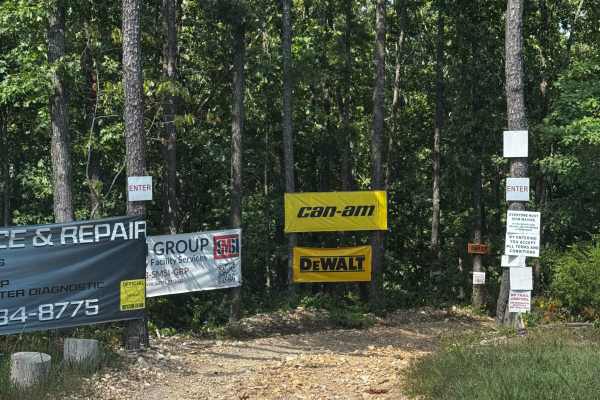
Main Trail
Starting and ending right next to the check-in office, this trail is the longest in the park. It will also take you past every major area and loop within the park. Because the trail is directional, you will need to be very mindful of the signage, which you simply can’t miss throughout the park. As a...
Learn more about Main Trail
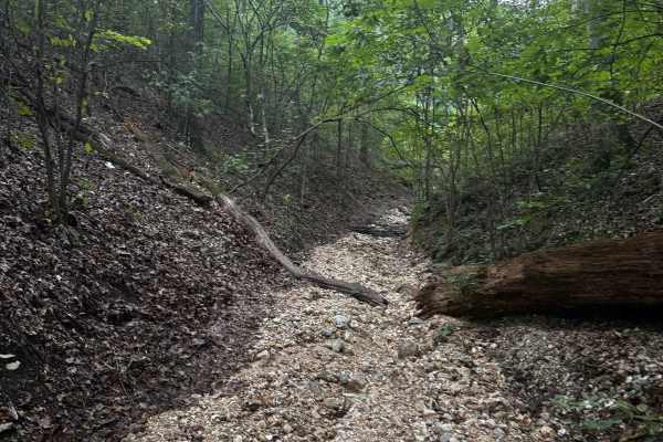
Top Down
As the first named trail along your adventure down the main trail, you'll encounter several steep climbs with plenty of loose, medium, and large rocks along the way. Like many other trails in the park, this route starts from the main trail and eventually reconnects with it. Rentals, please stay off ...
Learn more about Top Down
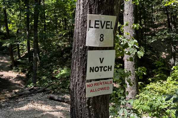
V-Notch
V-Notch is another feature trail and a personal favorite of ours. Heavy on the rocks and climbs, this trail keeps things fresh with tricky lines, tight squeezes, and plenty of technical challenges. It’s a very fun trail for capable rigs and experienced drivers looking to test their skill and machine...
Learn more about V-Notch
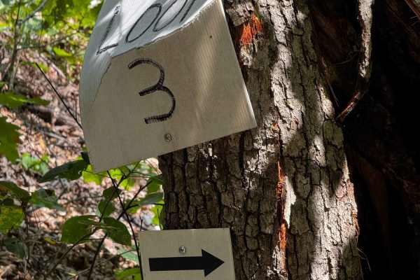
Loop 3
One of the many loop trails throughout the park, these trails are fun and vary in difficulty, although none get too extreme. They’re a great option for novice riders looking to build confidence while still having fun. With plenty of trails to explore, you can easily stay busy for most of the day.
Learn more about Loop 3

Loose Change
One of the last trails you’ll encounter on your way out from the main trail. This one is a lot of fun and will definitely rattle you around in your seat! Expect steep hills, loose terrain, and a few fun climbs to keep things interesting. Hold on tight and enjoy the ride!
Learn more about Loose Change
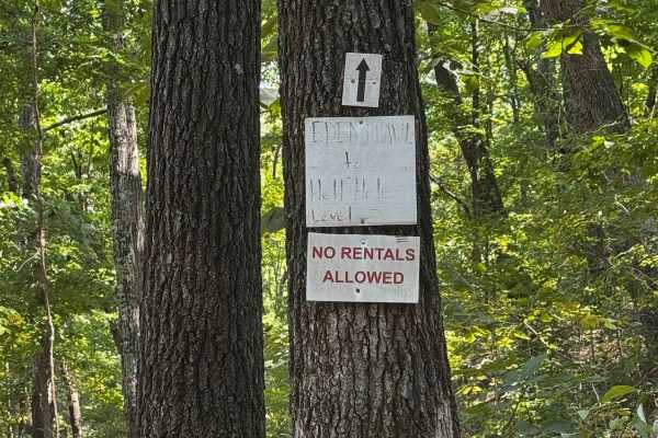
4x4 Obstacle
One of the optional 4x4 loops in the park, this trail offers varying levels of difficulty. These loops are directional, so be sure to follow all posted signage and travel in the proper direction. Please be respectful of other riders who may be on the course and remain aware of your surroundings.
Learn more about 4x4 Obstacle
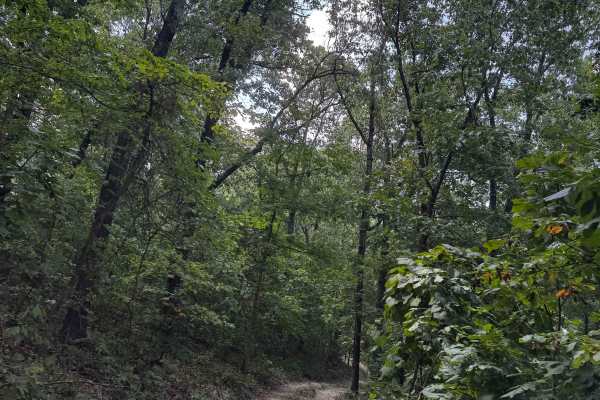
Eden's Crawl
Another feature trail that, while not overly difficult compared to some of the others, still offers plenty of fun and enjoyable terrain to keep you entertained. It’s a great option for riders looking to explore and have a good time without tackling the park’s more challenging trails. **No rental veh...
Learn more about Eden's Crawl
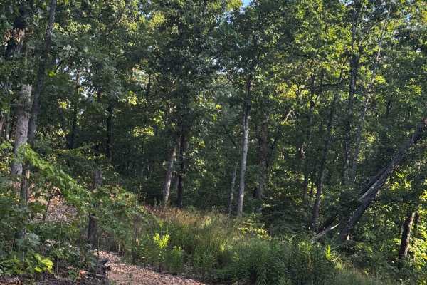
Main Track Cut Thru 2
One of the many cut-throughs throughout the park, this trail is intended to help riders access other areas more easily. Please use the cut-throughs as intended, follow all posted signage, and always remain aware of your surroundings. Be especially mindful of other riders when entering or merging ont...
Learn more about Main Track Cut Thru 2

Short Cut
One of the many cut-throughs throughout the park, this trail is intended to help riders access other areas more easily. Please use the cut-throughs as marked and intended, follow all posted signage, and remain aware of your surroundings. Be especially mindful of other riders when entering or merging...
Learn more about Short Cut

Short Cut to Cabins
Off the main trail, this route will take you directly to the rental cabins. If you need to return to the parking lot from the cabins, this trail also connects to the emergency exit trail. Follow all posted signage, stay alert for other riders, and use caution when traveling through this area.
Learn more about Short Cut to Cabins
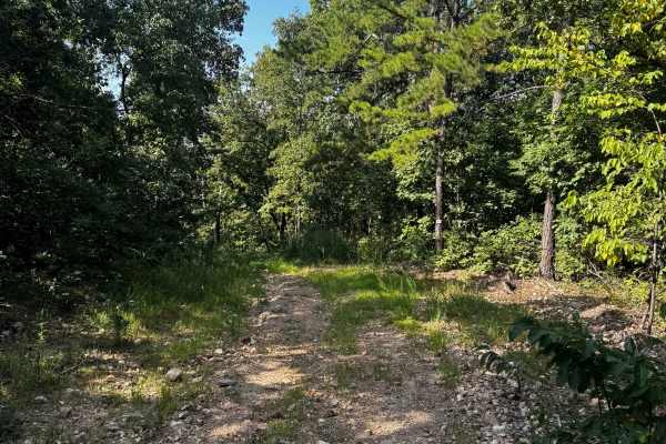
Short Track Loop 4
One of the side tracks within the short track area, this trail features several large hills and can be enjoyed at your own pace. Take your time or pick up the speed, depending on your comfort level. Be mindful of other riders and always watch for anyone on or around the hills.
Learn more about Short Track Loop 4
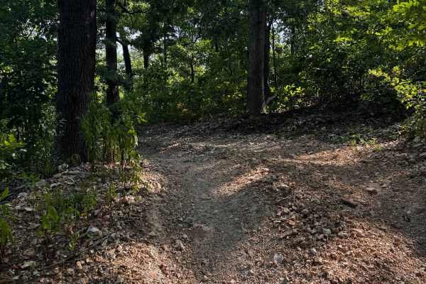
4x4 Course
One of the optional 4x4 loops in the park, this trail offers varying levels of difficulty. These loops are directional, so be sure to follow all posted signage and travel in the proper direction. Please be respectful of other riders who may be on the course and remain aware of your surroundings.
Learn more about 4x4 Course
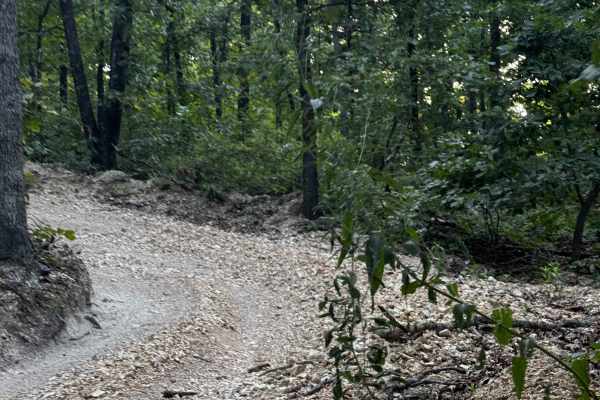
Short Track Hill Climb
One of the side tracks within the short track area, this trail features several large hills and can be enjoyed at your own pace. Take your time or pick up the speed, depending on your comfort level. Be mindful of other riders and always watch for anyone on or around the hills.
Learn more about Short Track Hill Climb
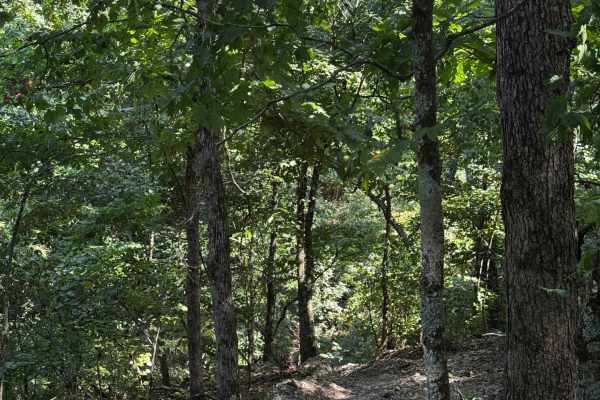
Hell Hole Pass
One of two relatively short cut-throughs around the Hell Hole area. These trails provide an easy way to navigate around the area while staying connected to the main trails. Be mindful of other riders, follow all posted signage, and make sure you remain on the correct trail while traveling through th...
Learn more about Hell Hole Pass
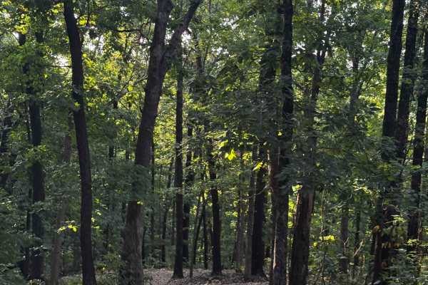
Loop 2
One of the many loop trails throughout the park, these trails are fun and vary in difficulty, although none get too extreme. They’re a great option for novice riders looking to build confidence while still having fun. With plenty of trails to explore, you can easily stay busy for most of the day.
Learn more about Loop 2
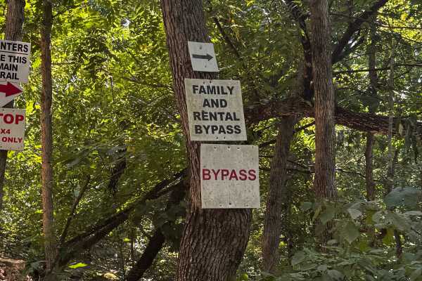
Family and Rental Bypass
This section of the trail can get pretty rowdy, with rougher terrain that may be challenging for some vehicles. If you’re driving a rental or a less-capable machine, be sure to use the bypass. Choose the route that best suits your vehicle, and always ride within your limits for a safe experience.
Learn more about Family and Rental Bypass
Side Track Cut 2
This quick cut-through is located within the short track area and can be used as needed to access other trails. Please be mindful of other riders in the area, follow posted signage, and use caution while traveling through. Stay aware of your surroundings, maintain a safe speed, and enjoy the trails ...
Learn more about Side Track Cut 2
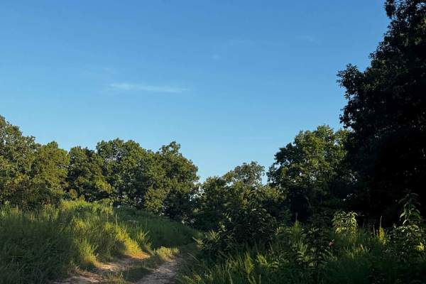
Short Track to Main Cut Thru
The short track is a small area of the park with a few trails that loop back into the entrance trail. It also provides a cut-through to access the main trail. Please follow all signage and make sure you’re using the appropriate cuts and trails. **No rental vehicles are permitted in this area.**
Learn more about Short Track to Main Cut Thru

But Momma Said!
Another personal favorite among the feature trails, this one is a bit more modest but still carries plenty of its own unique challenges and makes for a very fun ride. It’s lengthy as well, so take your time and be sure to give other machines on the trail plenty of room and respect.
Learn more about But Momma Said!
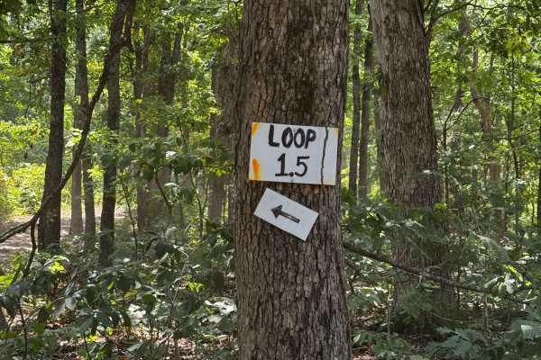
Loop 1.5
One of the many loop trails throughout the park, these trails are fun and vary in difficulty, although none get too extreme. They’re a great option for novice riders looking to build confidence while still having fun. With plenty of trails to explore, you can easily stay busy for most of the day.
Learn more about Loop 1.5
ATV trails near Green Forest, Arkansas
Explore ATV-friendly trails near you. These trails are accessible for vehicles up to 50 inches wide, perfect for ATVs and smaller off-road machines.
Main Trail
Starting and ending right next to the check-in office, this trail is the longest in the park. It will also take you past every major area and loop within the park. Because the trail is directional, you will need to be very mindful of the signage, which you simply can’t miss throughout the park. As a...
Learn more about Main Trail
Top Down
As the first named trail along your adventure down the main trail, you'll encounter several steep climbs with plenty of loose, medium, and large rocks along the way. Like many other trails in the park, this route starts from the main trail and eventually reconnects with it. Rentals, please stay off ...
Learn more about Top Down
V-Notch
V-Notch is another feature trail and a personal favorite of ours. Heavy on the rocks and climbs, this trail keeps things fresh with tricky lines, tight squeezes, and plenty of technical challenges. It’s a very fun trail for capable rigs and experienced drivers looking to test their skill and machine...
Learn more about V-Notch
Loop 3
One of the many loop trails throughout the park, these trails are fun and vary in difficulty, although none get too extreme. They’re a great option for novice riders looking to build confidence while still having fun. With plenty of trails to explore, you can easily stay busy for most of the day.
Learn more about Loop 3
UTV/side-by-side trails near Green Forest, Arkansas
Find UTV and side-by-side trails near you. These trails accommodate vehicles up to 60 inches wide, ideal for UTVs, side-by-sides, and wider off-road rigs.
Main Trail
Starting and ending right next to the check-in office, this trail is the longest in the park. It will also take you past every major area and loop within the park. Because the trail is directional, you will need to be very mindful of the signage, which you simply can’t miss throughout the park. As a...
Learn more about Main Trail
Top Down
As the first named trail along your adventure down the main trail, you'll encounter several steep climbs with plenty of loose, medium, and large rocks along the way. Like many other trails in the park, this route starts from the main trail and eventually reconnects with it. Rentals, please stay off ...
Learn more about Top Down
V-Notch
V-Notch is another feature trail and a personal favorite of ours. Heavy on the rocks and climbs, this trail keeps things fresh with tricky lines, tight squeezes, and plenty of technical challenges. It’s a very fun trail for capable rigs and experienced drivers looking to test their skill and machine...
Learn more about V-Notch
Loop 3
One of the many loop trails throughout the park, these trails are fun and vary in difficulty, although none get too extreme. They’re a great option for novice riders looking to build confidence while still having fun. With plenty of trails to explore, you can easily stay busy for most of the day.
Learn more about Loop 3
The onX Offroad Difference
onX Offroad combines trail photos, descriptions, difficulty ratings, width restrictions, seasonality, and more in a user-friendly interface. Available on all devices, with offline access and full compatibility with CarPlay and Android Auto. Discover what you're missing today!
Open Trail Map