
Dirt Bike Trails
Near Gallant, Alabama
Explore All Dirt Bike Trails Near Gallant, Alabama
Dirt Bike Trails Near Gallant, Alabama
Discover the best dirt bike trails near you. Browse trail maps, check difficulty ratings, and find your next adventure — whether you're looking for a quick ride or an all-day expedition.
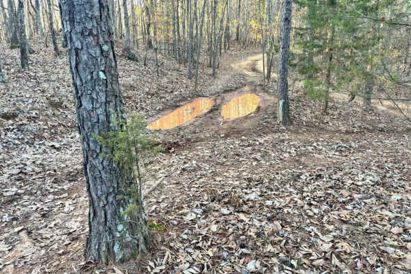
33A
Trail 33A was a short connector trail from Trail 30 to Trail 33. This trail was put in as a by-pass around one of the difficult obstacle areas along Trail 30. Trail 33A did not have any difficult areas and no obstacles. One muddy area was found that may even be dry during the summer.
Learn more about 33A
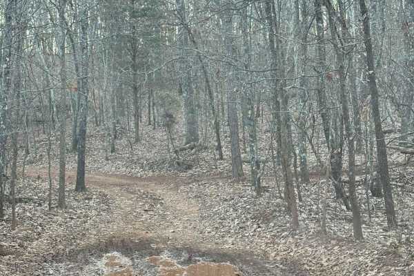
33
Trail 33 is a trail that connects from trail 30 to trail 42. This trail has a lot of trails that branch off of it to take you to other areas of trail 30. There was not difficult areas or rock obstacles to watch for. There is one mud area that may be more difficult after a rain or in the wet season.
Learn more about 33
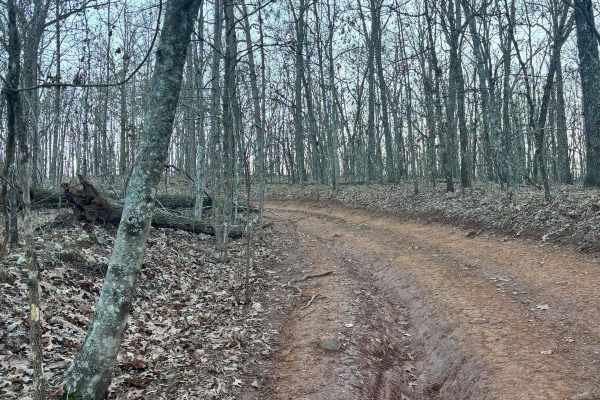
32
Trail 32 was mostly flat with no really any difficult areas with obstacles. This trail connects Trail 30 to Trail 33. This is an easy route to take to get back to the parking lot if you are hauling a broken machine or need to get off of Trail 30 quickly.
Learn more about 32
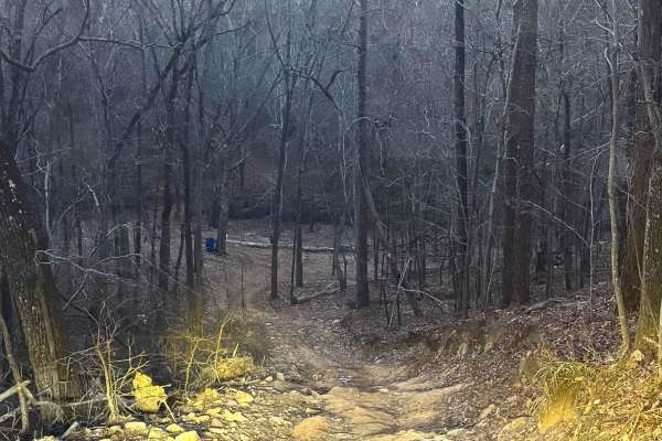
34
Trail 34 connects Trail 30 to Trail 33. This is a connector trail to bypass one of the hard parts of trail 30. There are no rock obstacles or tough areas to climb. This trail is all dirt. It has one steep area with rocks along the path, but it is not a difficult area.
Learn more about 34
34A
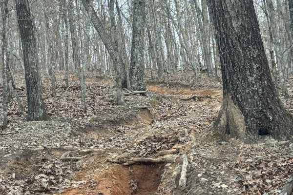
Trail 34A is a bypass on a big hill on Trail 30. It is not very wide and may end up being more difficult than the area it is trying to bypass on Trail 30. It has some rock obstacles and some deep ruts that are 2 to 3 feet deep.
Learn more about 34A
33B
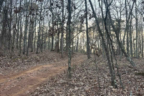
Trail 33B was a dirt trail that connects Trail 33 to Trail 30. It had no rough obstacles other than a few loose stones, and large rocks to cross over, but no ledges and no tight areas to work around. This is a good by-pass trail for a part of Trail 30.
Learn more about 33B
26
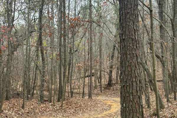
Trail 26 is a connector trail from the 5 hills climb area to Trail 30. Trail 26 is fairly easy with no very steep grades or tight spots. This is a shorter trail that is all dirt. It is a connector trail from 5 hills climbing area to a midpoint spot along the west side of Trail 30.
Learn more about 26
25
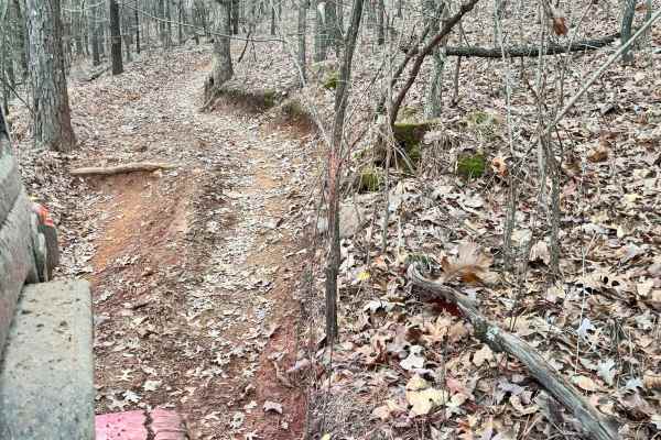
Trail 25 has a lot of switchbacks and a lot of steep inclines and declines. There are a lot of narrow areas to work around. We took a 90-inch full-size vehicle through the trail and fit everywhere, but several spots were very narrow. There was a great lookout point at the top of the mountain along t...
Learn more about 25
25A
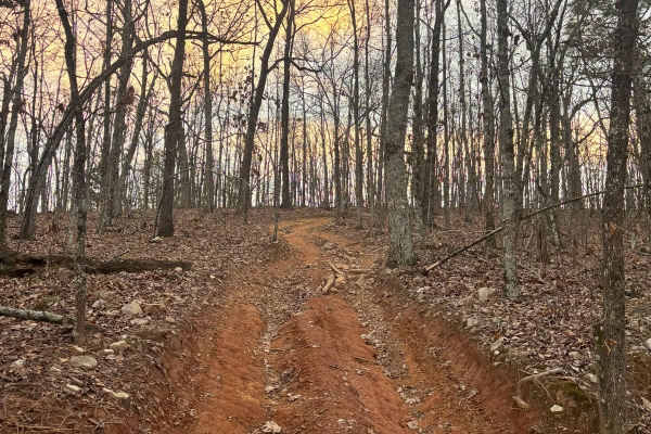
Trail 25A went up from Trail 33 to Trail 25 at the overlook. It is a separate path from the overlook to take you back towards the grid. It is a rocky pathway that has a grade along the whole path. There are some rutted-out areas along its route.
Learn more about 25A
35A
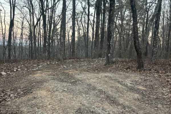
Trail 35A is a connector trail from Lincoln View Trail to Trail 34 and Trail 30. This is a pretty easy trail with one tight spot to work around with trees. No rough rock obstacles or rutted-out areas. This trail is mostly dirt and used as a by-pass on a section of Trail 30.
Learn more about 35A
27
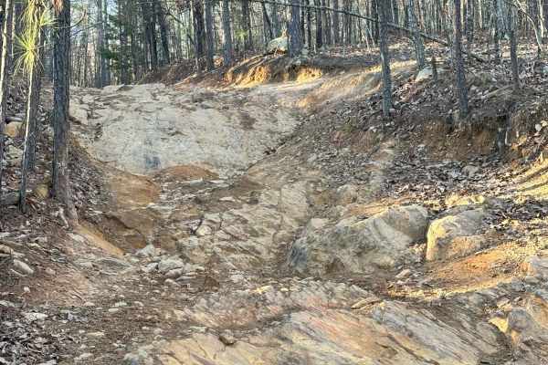
Trail 27 was mostly an easy trail with only one area that had a difficult rock obstacle area. That rock obstacle does have a by-pass to go around it which was easier than the rock obstacle area, but the majority of the trail was just small rocks, no ruts, and no tight areas.
Learn more about 27
30
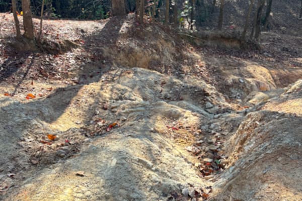
Trail 30 is the longest trail in the park, as well as the most complex. We fit a 92" vehicle through the entire track, but there were some areas that were quite tight, and we did get some pinstriping from branches along the way. There were a lot of rock obstacles and climbs throughout this trail. A ...
Learn more about 30
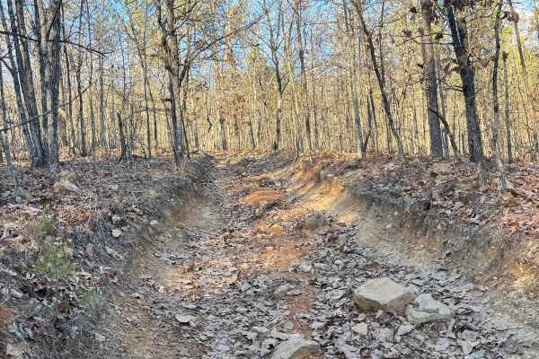
27A
Trail 27 was an easier trail with some tight areas to work around trees. This is a bypass trail for trail 27, but difficulty-wise they are pretty even, other than weaving around trees. There are no ruts or rock obstacles to get through this trail. It connects Trail 24 to Trail 30.
Learn more about 27A
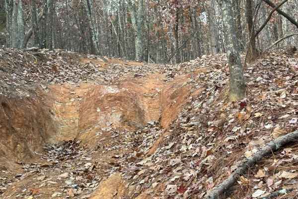
57A
Trail 57A is close to the end of Trail 57, it is just as hard as Trail 57, if not harder. This trail is fairly short but very difficult. The trail has a very steep incline up through the woods, and then a steep incline down. This trail would also be harder during a wet day versus a dry day. There ar...
Learn more about 57A
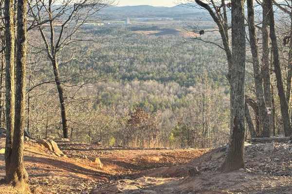
37
Trail 37 leaves Gent's mountain scenic view towards the south. It goes all the way to the bottom of the mountain and comes out at the bottom of Danger Hill. It is a one-way trail that must be traveled down. This trail has a very steep grade with a lot of rock obstacles and deep ruts. It must be take...
Learn more about 37
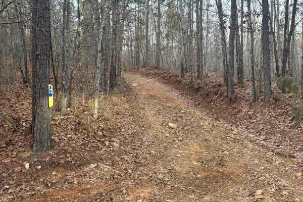
35
Trail 35 goes from Trail 33 to Trail 30. It is not a difficult trail. All points are wide enough for your vehicle to easily pass through and there are no steep grades, no rutted out areas, and no rock obstacles. This trail was an easy path to get off Trail 30.
Learn more about 35
39
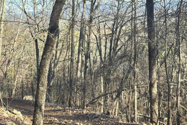
Trail 39 is a bypass along one of the difficult areas on Trail 30. Not a very wide trail, but our full-size vehicle fit down it. Large rocks and slanted trails as well as some rock obstacles were found along the route. There were no mud obstacles along this route.
Learn more about 39
40
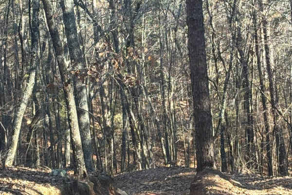
Trail 40 is a bypass along one of the difficult areas on Trail 30. Not a very wide trail, but our full-size vehicle fit down it. Large rocks and slanted trails as well as some rock obstacles were found along the route. There were no mud obstacles along this route.
Learn more about 40
41
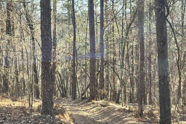
Trail 41 is a bypass along one of the difficult areas on Trail 30. Not a very wide trail, but our full-size vehicle fit down it. There are large rocks and slanted sections as well as some rock obstacles were found along the route. There were no mud obstacles along this route.
Learn more about 41
Lincoln View Trail
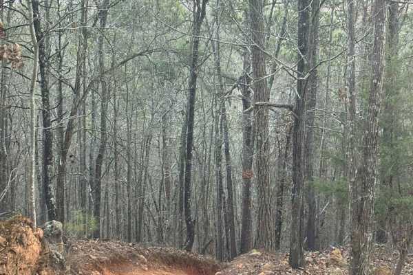
Lincoln View trail circles around the base of the mountain, all the way to the top of the mountain for a great view of Lincoln Mountain. This trail connects back to the main entrance of it. There is also an entrance into the trail from Trail 30. This trail was mostly easy with a couple of rock obsta...
Learn more about Lincoln View Trail
ATV trails near Gallant, Alabama
Explore ATV-friendly trails near you. These trails are accessible for vehicles up to 50 inches wide, perfect for ATVs and smaller off-road machines.
33A
Trail 33A was a short connector trail from Trail 30 to Trail 33. This trail was put in as a by-pass around one of the difficult obstacle areas along Trail 30. Trail 33A did not have any difficult areas and no obstacles. One muddy area was found that may even be dry during the summer.
Learn more about 33A
33
Trail 33 is a trail that connects from trail 30 to trail 42. This trail has a lot of trails that branch off of it to take you to other areas of trail 30. There was not difficult areas or rock obstacles to watch for. There is one mud area that may be more difficult after a rain or in the wet season.
Learn more about 33
32
Trail 32 was mostly flat with no really any difficult areas with obstacles. This trail connects Trail 30 to Trail 33. This is an easy route to take to get back to the parking lot if you are hauling a broken machine or need to get off of Trail 30 quickly.
Learn more about 32
34
Trail 34 connects Trail 30 to Trail 33. This is a connector trail to bypass one of the hard parts of trail 30. There are no rock obstacles or tough areas to climb. This trail is all dirt. It has one steep area with rocks along the path, but it is not a difficult area.
Learn more about 34
UTV/side-by-side trails near Gallant, Alabama
Find UTV and side-by-side trails near you. These trails accommodate vehicles up to 60 inches wide, ideal for UTVs, side-by-sides, and wider off-road rigs.
33A
Trail 33A was a short connector trail from Trail 30 to Trail 33. This trail was put in as a by-pass around one of the difficult obstacle areas along Trail 30. Trail 33A did not have any difficult areas and no obstacles. One muddy area was found that may even be dry during the summer.
Learn more about 33A
33
Trail 33 is a trail that connects from trail 30 to trail 42. This trail has a lot of trails that branch off of it to take you to other areas of trail 30. There was not difficult areas or rock obstacles to watch for. There is one mud area that may be more difficult after a rain or in the wet season.
Learn more about 33
32
Trail 32 was mostly flat with no really any difficult areas with obstacles. This trail connects Trail 30 to Trail 33. This is an easy route to take to get back to the parking lot if you are hauling a broken machine or need to get off of Trail 30 quickly.
Learn more about 32
34
Trail 34 connects Trail 30 to Trail 33. This is a connector trail to bypass one of the hard parts of trail 30. There are no rock obstacles or tough areas to climb. This trail is all dirt. It has one steep area with rocks along the path, but it is not a difficult area.
Learn more about 34
The onX Offroad Difference
onX Offroad combines trail photos, descriptions, difficulty ratings, width restrictions, seasonality, and more in a user-friendly interface. Available on all devices, with offline access and full compatibility with CarPlay and Android Auto. Discover what you're missing today!
Open Trail Map