
Dirt Bike Trails
Near Esto, Florida
Explore All Dirt Bike Trails Near Esto, Florida
Dirt Bike Trails Near Esto, Florida
Discover the best dirt bike trails near you. Browse trail maps, check difficulty ratings, and find your next adventure — whether you're looking for a quick ride or an all-day expedition.
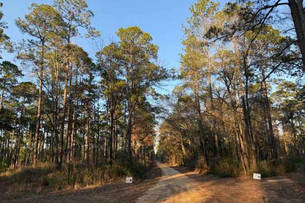
Hogfoot Road - FS 332
This scenic route winds through towering pines on a smooth, well-maintained road, making for a relaxing drive through Conecuh National Forest. Along the way, you'll cross two picturesque bridges, adding to the charm of this peaceful forest trail. Ideal for all vehicle types, this road provides easy ...
Learn more about Hogfoot Road - FS 332
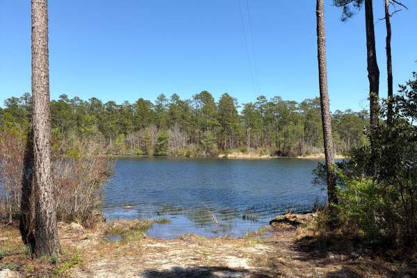
H 32
Forest Road H 32 is a dead-end road that takes you from the Upper Karick Lake Road to the public boat ramp and picnic area on the west side of Karick Lake. It is a short trail in the north-east part of the Blackwater River State Forest. The road conditions are a mixture of packed sand, loose sand, a...
Learn more about H 32
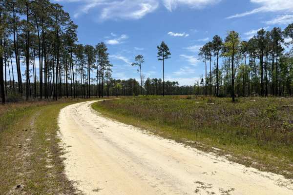
Little Gully Creek - FS 150
Little Gully Creek, also known as Apalachicola National Forest Road 150, is a dead-end road that starts at County Road 12. It takes you through the southwest part of the Apalachicola National Forest into the Johnson Juniper Swamp and gives you access to a few OHV trails and the Florida National Scen...
Learn more about Little Gully Creek - FS 150
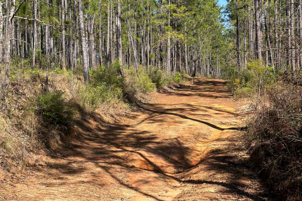
R 123
Forest Road R 123 connects High Bridge Road at the west end and SR 189 at the east end. It is a 2-mile-long trail that takes you through the north east part of the Blackwater River State Forest and gives you access to several trails along the Barrel Branch District, and has an appendix that ends at ...
Learn more about R 123
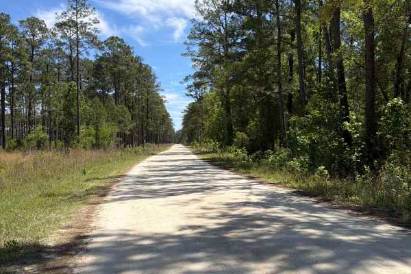
Mercer West - FS 105
Mercer West, also known as Apalachicola National Forest Road 105, connects Mercer Trail at the east end and County Road 12 at the west end. It takes you through the southwest part of the Apalachicola National Forest along Camel Pond and gives you access to Camel Pond Recreation Area with Restrooms, ...
Learn more about Mercer West - FS 105
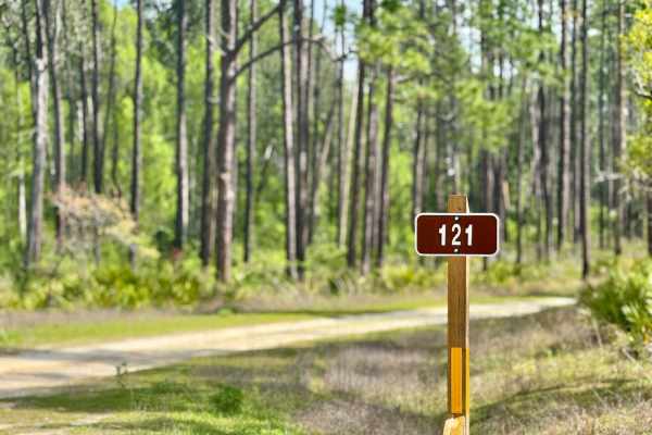
Big Gulley - FS 121
Big Gulley - 121 is a narrow, one-lane sandy road that offers a laid-back drive through the forest--until you hit the single deep mud hole. This obstacle has a soft bottom and can become especially tricky after rain, requiring a careful approach and possibly 4WD. The rest of the trail is relatively ...
Learn more about Big Gulley - FS 121

Big Gully Creek South - FS 131
Big Gully Creek South is a smooth, sandy, and fun winding trail that leads you through a scenic stretch of forest. It intersects at a large four-way junction, making it a key connector in the area and providing access to Camel Lake and Camel Lake Campground. The trail is well-maintained and easy to ...
Learn more about Big Gully Creek South - FS 131
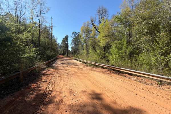
Mattie Kennedy Road
Mattie Kennedy Road connects Sherman Kennedy Road at the east end and Kennedy Bridge Road at the west end. It is a 2-mile trail that takes you through the northeast part of the Blackwater River State Forest along More Creek and gives you access to several OHV and off-road trails in the area. The roa...
Learn more about Mattie Kennedy Road
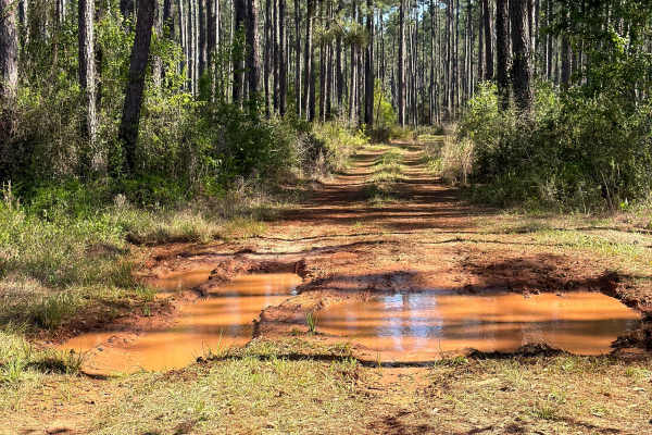
R 137
Forest Road R 137 connects Sherman Kennedy Road at the west end and Finkel Road at the east end. It is a 2-mile-long trail that takes you through the north-east part of the Blackwater River State Forest and gives you access to several trails along the Panther Creek District. The road conditions are ...
Learn more about R 137

High Bridge
High Bridge Road connects Sherman Kennedy Road at the west end and County Road 189 at the east end. It is a 3-mile-long trail that takes you through the northeast part of the Blackwater River State Forest and gives you access to several trails along the Panther Creek District. The road conditions ar...
Learn more about High Bridge
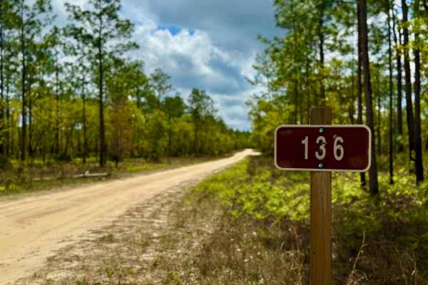
Gully Creek - FS 136
This trail starts off as a fairly easy ride but ramps up in challenge toward the end. Expect multiple deep water crossings--some with established bypasses, others without--so checking trail conditions before heading out is essential. One section features a narrow pass with soft sand that can catch d...
Learn more about Gully Creek - FS 136
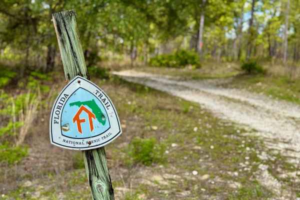
Mini Shot Trail - FS 105K
Mini Shot Trail - FS 105K is a scenic and dynamic trail that changes dramatically with the weather. When dry, it's an easy and enjoyable ride--rated a 2--offering sandy terrain and beautiful forest views. But during the rainy season, the trail transforms into a mini "Gunshot"-style drop-in, reminisc...
Learn more about Mini Shot Trail - FS 105K
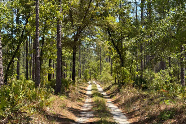
FS 108 D
Apalachicola National Forest Road 108-D connects Mercer Trail at the west end and Bill Dick at the east end. It takes you through the southwest part of the Apalachicola National Forest and gives you access to the Bonnet Pond and the Florida National Scenic Trail. The road conditions are a mixture of...
Learn more about FS 108 D
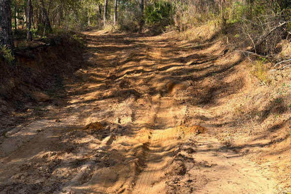
R 155
Blackwater River Forest Road R 155 connects FR R 159 at the north end and Kennedy Bridge Road at the south end. It is a short trail that takes you through the north east part of the Blackwater River State Forest along the east side of the Blackwater River and gives you access to a beautiful camping ...
Learn more about R 155
R 159
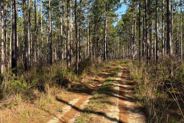
Blackwater River Forest Road R 159 connects FR R 155 at the west end and Kennedy Bridge Road at the east end. It is a short trail that takes you through the north east part of the Blackwater River State Forest along the east side of the Blackwater River and gives you access to a beautiful camping an...
Learn more about R 159
Bill Dick - FS 108
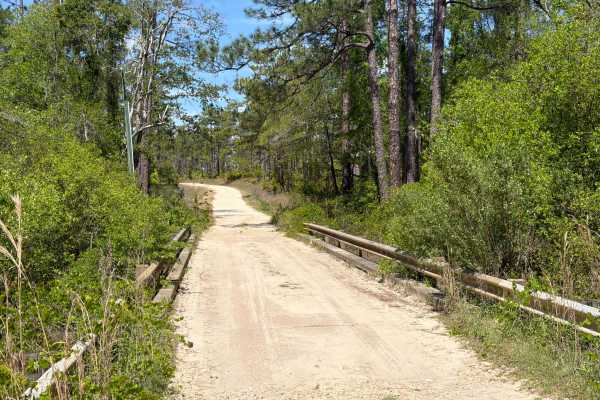
Bill Dick, also known as Apalachicola National Forest Road 108, connects Mercer Trail at the east end and County Road 12 at the west end. It takes you through the southwest part of the Apalachicola National Forest along Fillman Hill Bay and gives you access to several OHV and off-road trails in the ...
Learn more about Bill Dick - FS 108
R 87
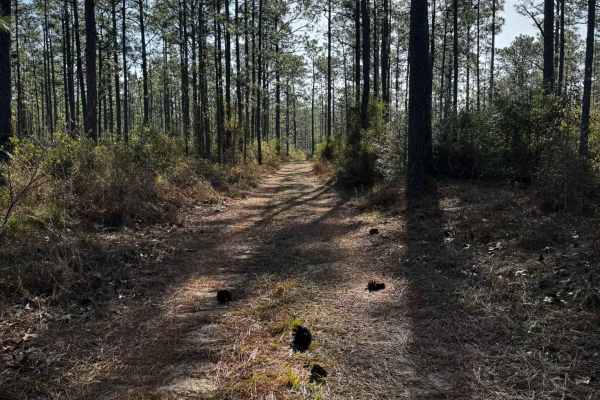
Forest Road R 87 connects Sherman Kennedy Road at the south end and Riley Barnhill Road at the north end. It is a 3-mile-long trail that takes you through the northeast part of the Blackwater River State Forest and gives you access to several trails along the Narrows Creek District. The trail starts...
Learn more about R 87
Florida State R53
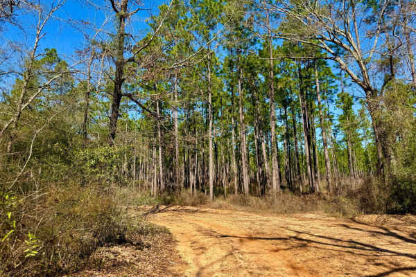
R53 offers a gravel and sand mix with well-placed water bars, keeping the route interesting as it winds through the landscape. This one-lane road features a mesmerizing straight stretch, perfect for photos, especially with the towering trees framing the path. A few dispersed campsites can be found a...
Learn more about Florida State R53
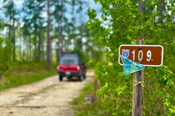
Lewis 109
This trail winds through a beautiful stretch of forest filled with big, tall pines and classic Florida terrain. The road is mostly sandy with a few muddy sections that can become problematic and less enjoyable during or after heavy rains. Scattered access roads branch off along the way, offering add...
Learn more about Lewis 109
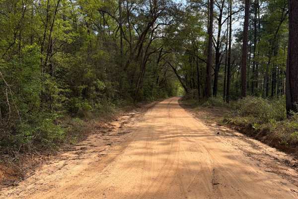
Eadie Cotton Road
Eadie Cotton Road connects Kennedy Bridge Road at the north end and Peaden Bridge Road at the south end. It is a 3-mile trail that takes you through the northeast part of the Blackwater River State Forest and gives you access to several OHV and off-road trails in the area. The road conditions are a ...
Learn more about Eadie Cotton Road
ATV trails near Esto, Florida
Explore ATV-friendly trails near you. These trails are accessible for vehicles up to 50 inches wide, perfect for ATVs and smaller off-road machines.
Hogfoot Road - FS 332
This scenic route winds through towering pines on a smooth, well-maintained road, making for a relaxing drive through Conecuh National Forest. Along the way, you'll cross two picturesque bridges, adding to the charm of this peaceful forest trail. Ideal for all vehicle types, this road provides easy ...
Learn more about Hogfoot Road - FS 332
H 32
Forest Road H 32 is a dead-end road that takes you from the Upper Karick Lake Road to the public boat ramp and picnic area on the west side of Karick Lake. It is a short trail in the north-east part of the Blackwater River State Forest. The road conditions are a mixture of packed sand, loose sand, a...
Learn more about H 32
Little Gully Creek - FS 150
Little Gully Creek, also known as Apalachicola National Forest Road 150, is a dead-end road that starts at County Road 12. It takes you through the southwest part of the Apalachicola National Forest into the Johnson Juniper Swamp and gives you access to a few OHV trails and the Florida National Scen...
Learn more about Little Gully Creek - FS 150
R 123
Forest Road R 123 connects High Bridge Road at the west end and SR 189 at the east end. It is a 2-mile-long trail that takes you through the north east part of the Blackwater River State Forest and gives you access to several trails along the Barrel Branch District, and has an appendix that ends at ...
Learn more about R 123
UTV/side-by-side trails near Esto, Florida
Find UTV and side-by-side trails near you. These trails accommodate vehicles up to 60 inches wide, ideal for UTVs, side-by-sides, and wider off-road rigs.
Hogfoot Road - FS 332
This scenic route winds through towering pines on a smooth, well-maintained road, making for a relaxing drive through Conecuh National Forest. Along the way, you'll cross two picturesque bridges, adding to the charm of this peaceful forest trail. Ideal for all vehicle types, this road provides easy ...
Learn more about Hogfoot Road - FS 332
H 32
Forest Road H 32 is a dead-end road that takes you from the Upper Karick Lake Road to the public boat ramp and picnic area on the west side of Karick Lake. It is a short trail in the north-east part of the Blackwater River State Forest. The road conditions are a mixture of packed sand, loose sand, a...
Learn more about H 32
Little Gully Creek - FS 150
Little Gully Creek, also known as Apalachicola National Forest Road 150, is a dead-end road that starts at County Road 12. It takes you through the southwest part of the Apalachicola National Forest into the Johnson Juniper Swamp and gives you access to a few OHV trails and the Florida National Scen...
Learn more about Little Gully Creek - FS 150
R 123
Forest Road R 123 connects High Bridge Road at the west end and SR 189 at the east end. It is a 2-mile-long trail that takes you through the north east part of the Blackwater River State Forest and gives you access to several trails along the Barrel Branch District, and has an appendix that ends at ...
Learn more about R 123
The onX Offroad Difference
onX Offroad combines trail photos, descriptions, difficulty ratings, width restrictions, seasonality, and more in a user-friendly interface. Available on all devices, with offline access and full compatibility with CarPlay and Android Auto. Discover what you're missing today!
Open Trail Map