
Dirt Bike Trails
Near Elkfork, Kentucky
Explore All Dirt Bike Trails Near Elkfork, Kentucky
Dirt Bike Trails Near Elkfork, Kentucky
Discover the best dirt bike trails near you. Browse trail maps, check difficulty ratings, and find your next adventure — whether you're looking for a quick ride or an all-day expedition.
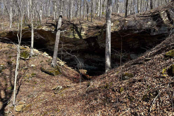
Arrington Branch Pass
This is a pass that goes through the old Arrington Branch and then goes up a curvy, rocky hill with low, tight clearances. You will pass by old homesteads and wetland areas as you go up the hill. You will also see the tail waters of Yatesville Lake.
Learn more about Arrington Branch Pass
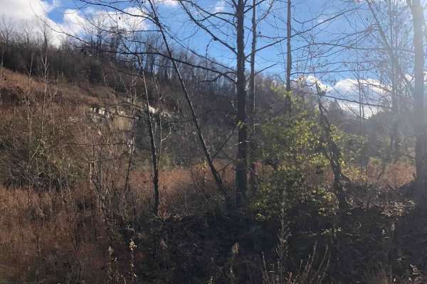
Shagnast Hill
This trail can be extreme. It is a shortcut over the hill from Arrington Pass and has really steep hill climbs with tree roots, rocks, and mud. However, there is a hidden gem: it boasts a waterfall in the middle if you know where to look.
Learn more about Shagnast Hill
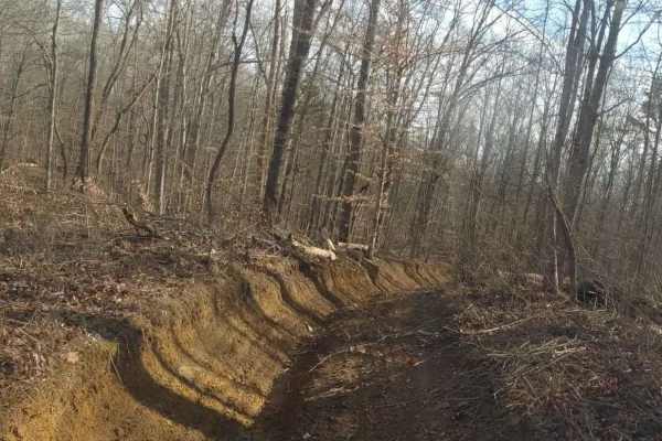
Top of The World Trail
This trail comes off of Top of the World Drive and goes up and over a hill through a heavily wooded area with lots of tight turns. It will eventually bring you up the hill through the pine trees and dead end at a cleared-off area on the tip top of the hill.
Learn more about Top of The World Trail
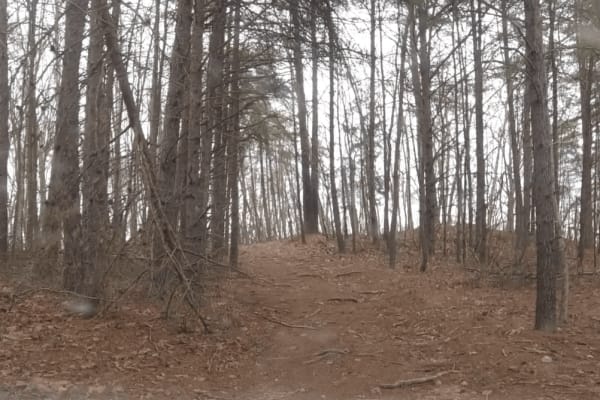
Big Branch Hill
Big Branch Hill travels from Top of the World Drive across the hill to Big Branch. The trail is rough and often rutty with some very large deep mud holes. Be prepared to do some tight navigating around trees and other debris, and be mindful of the wildlife in the area evidence of bears has been seen...
Learn more about Big Branch Hill
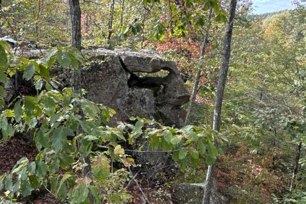
Board Tree Loop
Board Tree Loop is closed in November and December per the land owner's request. This is an easy route with all types of terrain and scenery. This trail offers off-road access to many of the already mapped trails in the area, and there will be more to come. This trail is a great spot to start your o...
Learn more about Board Tree Loop
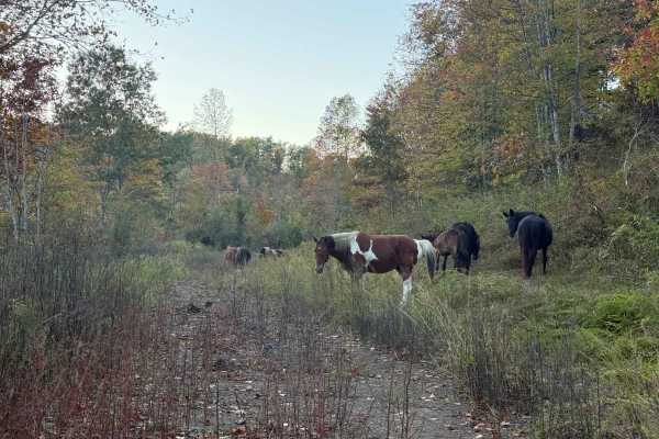
BTL
This trail, along with Board Tree Loop, is closed in November and December per the land owner's request. This trail is part of the Board Tree Loop, offering more options and possibilities to ride and explore. The path is easy to travel and takes you through a couple of large open old log yards with ...
Learn more about BTL
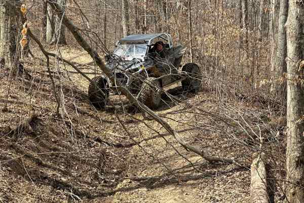
Dry Ridge Trail
Dry Ridge Trail is a bumpy, rocky trail that travels on the edge of a cliff down the hill to where it ties into Rich Creek Trail. The property owners have asked that you not open or close any gates or fences and please take your trash with you when you leave. This is a very scenic trail.
Learn more about Dry Ridge Trail
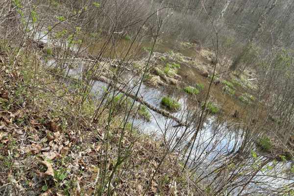
Rich Creek Connection
This trail comes off of KY 32 and goes up and over a hill through a heavily wooded area with lots of tight turns. It will eventually bring you out at Rich Creek boat dock. Rich Creek Trail can be accessed by crossing the creek from Rich Creek Connection.
Learn more about Rich Creek Connection
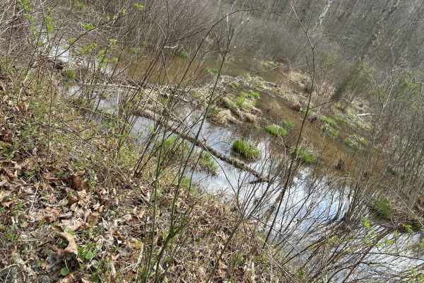
Rich Creek Trail
This is a very scenic trail that travels around the Rich Creek area of Yatesville Lake. You'll see an array of wildlife, and the beavers seem to create their own ecosystem. The trail itself dead-ends, but before you head back out, be sure you check out Lover's Loop.
Learn more about Rich Creek Trail
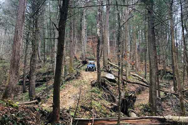
Cedgap Trail
Cedgap Trail starts at Kentucky 32 and goes up the hill past the old Cedgap General Store, across the ridge, and dips over the hill to the right. Once off the gravel, you will experience tight turns over tree roots and rocks and will end at Dry Ridge Road.
Learn more about Cedgap Trail
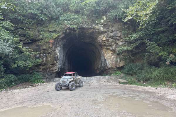
TipTop Tunnel Trail
The trail to TipTop Tunnel follows a wide, unmaintained gravel road through open fields and forest cut-throughs. While high ground clearance is helpful for smooth navigation, the overall terrain remains straightforward and easy-going. It offers a relaxed, scenic drive through nature that leads trave...
Learn more about TipTop Tunnel Trail
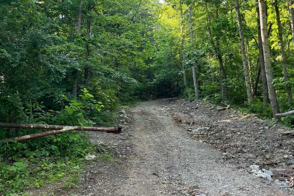
Trail 5
Kind of rugged terrain on an old haul road, mainly rock and gravel. Runs along the rock wall as it winds deeper into the hills towards Butcher Holler. You see deer, turkey, and the occasional elk on Trail 5. Black bears are in the area, but rarely seen on the trail.
Learn more about Trail 5
Trail 6
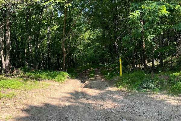
Trail 6 is a blue trail that, like many others, changes with the weather. Rain ruts, washouts, and mud holes make this trail a great little thrill ride to get to Butcher Holler. Once you hit the black top, you can go left to visit Loretta Lynn's Homeplace or go right to continue on the Butcher Holle...
Learn more about Trail 6
Trail 5
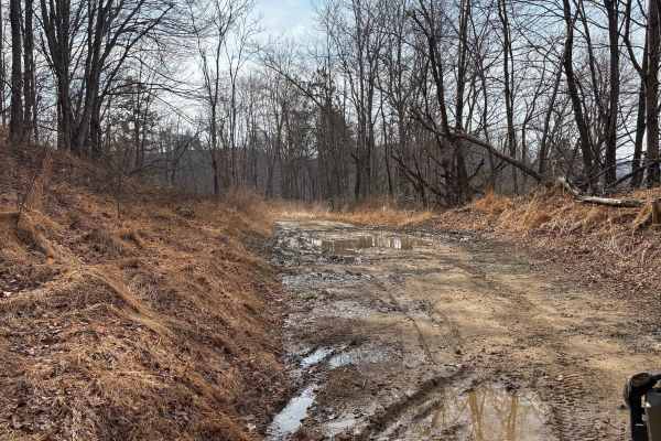
This is an extension of Trail 5, making it three-quarters of a mile longer, with plans to extend it. Trail 5 leads you to a few new trails that we have opened up in the Butcher Holler area. Deer, bobcats, turkey, black bear, and elk have all been seen in this area.
Learn more about Trail 5
Trail 7
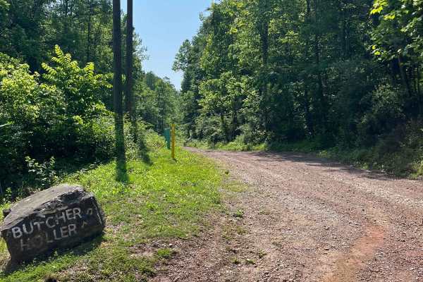
Trail 7 is an old haul road once used by the mines. Full of twists and turns with the occasional rain ruts. As it winds you through the hills, you will notice wildlife like deer, turkey, rabbits, and the occasional elk. Trail 7 also takes you out to Route 3 if you miss your turn for Trail 8.
Learn more about Trail 7
Trail 3
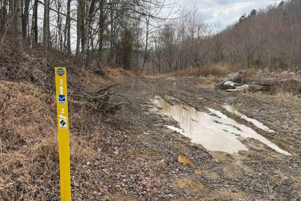
Trail 3 takes you from Trail 6 in Butcher Holler up to the top, where Trails 5, 2, and 11 are. There are a couple of decent climbs going up, but they're not too bad, so we labeled this a blue trail. You will see a couple of cool rock formations along the way.
Learn more about Trail 3
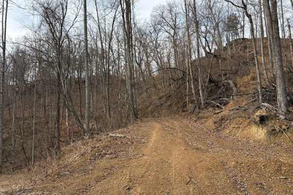
Trail 11
Trail 11 is a great new blue trail that's about a mile long. It dead-ends at the top for now, but there is plenty of room to park or turn around and go back down. It also leads you to the other end of Trail 2, which is a new black trail. You can see some rock formations along this trail as well as w...
Learn more about Trail 11
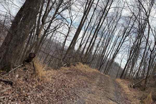
Trail 4
Trail 4 is a half-mile trail that takes you from the end of Trail 5 back around to Trail 5 again. There are a few muddy spots, so we labeled this a blue trail. You usually always see deer on this trail. There is potential to open another trail or two from Trail 4 very soon.
Learn more about Trail 4
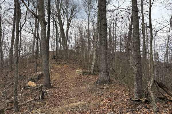
Trail 2
Trail 2 is a black trail. Its a steep climb from each end of it and goes along the ridge line. It's narrow in spots where it weaves through the trees, but has beautiful views and rock formations along the way! Trail 2 is only three-quarters of a mile long, but it's a very fun trail in the backwoods ...
Learn more about Trail 2
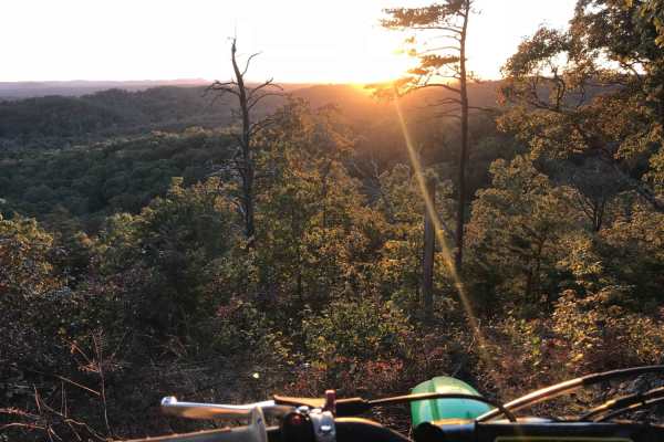
White Sulphur ATV Loop to Overlook
White Sulphur OHV Trail System is composed of several Forest Service roads and trails in the White Sulphur area, forming a 17-mile trail system of connecting loops. It is located near Cave Run Lake in the Cumberland Ranger District. The trail is located in moderately rugged terrain, primarily follow...
Learn more about White Sulphur ATV Loop to Overlook
ATV trails near Elkfork, Kentucky
Explore ATV-friendly trails near you. These trails are accessible for vehicles up to 50 inches wide, perfect for ATVs and smaller off-road machines.
Arrington Branch Pass
This is a pass that goes through the old Arrington Branch and then goes up a curvy, rocky hill with low, tight clearances. You will pass by old homesteads and wetland areas as you go up the hill. You will also see the tail waters of Yatesville Lake.
Learn more about Arrington Branch Pass
Shagnast Hill
This trail can be extreme. It is a shortcut over the hill from Arrington Pass and has really steep hill climbs with tree roots, rocks, and mud. However, there is a hidden gem: it boasts a waterfall in the middle if you know where to look.
Learn more about Shagnast Hill
Top of The World Trail
This trail comes off of Top of the World Drive and goes up and over a hill through a heavily wooded area with lots of tight turns. It will eventually bring you up the hill through the pine trees and dead end at a cleared-off area on the tip top of the hill.
Learn more about Top of The World Trail
Big Branch Hill
Big Branch Hill travels from Top of the World Drive across the hill to Big Branch. The trail is rough and often rutty with some very large deep mud holes. Be prepared to do some tight navigating around trees and other debris, and be mindful of the wildlife in the area evidence of bears has been seen...
Learn more about Big Branch Hill
UTV/side-by-side trails near Elkfork, Kentucky
Find UTV and side-by-side trails near you. These trails accommodate vehicles up to 60 inches wide, ideal for UTVs, side-by-sides, and wider off-road rigs.
Arrington Branch Pass
This is a pass that goes through the old Arrington Branch and then goes up a curvy, rocky hill with low, tight clearances. You will pass by old homesteads and wetland areas as you go up the hill. You will also see the tail waters of Yatesville Lake.
Learn more about Arrington Branch Pass
Shagnast Hill
This trail can be extreme. It is a shortcut over the hill from Arrington Pass and has really steep hill climbs with tree roots, rocks, and mud. However, there is a hidden gem: it boasts a waterfall in the middle if you know where to look.
Learn more about Shagnast Hill
Top of The World Trail
This trail comes off of Top of the World Drive and goes up and over a hill through a heavily wooded area with lots of tight turns. It will eventually bring you up the hill through the pine trees and dead end at a cleared-off area on the tip top of the hill.
Learn more about Top of The World Trail
Big Branch Hill
Big Branch Hill travels from Top of the World Drive across the hill to Big Branch. The trail is rough and often rutty with some very large deep mud holes. Be prepared to do some tight navigating around trees and other debris, and be mindful of the wildlife in the area evidence of bears has been seen...
Learn more about Big Branch Hill
The onX Offroad Difference
onX Offroad combines trail photos, descriptions, difficulty ratings, width restrictions, seasonality, and more in a user-friendly interface. Available on all devices, with offline access and full compatibility with CarPlay and Android Auto. Discover what you're missing today!
Open Trail Map