
Dirt Bike Trails
Near Dilkon, Arizona
Explore All Dirt Bike Trails Near Dilkon, Arizona
Dirt Bike Trails Near Dilkon, Arizona
Discover the best dirt bike trails near you. Browse trail maps, check difficulty ratings, and find your next adventure — whether you're looking for a quick ride or an all-day expedition.
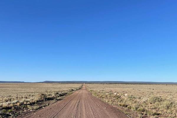
FS 126 to FS 125
This lengthy trail starts right off I-40 and stretches just over 16 miles. This is an off-and-on maintained gravel road that is very dusty and washboarded. The majority of this trail travels across a flat landscape with open plains to the north and more forested areas to the south. There are several...
Learn more about FS 126 to FS 125
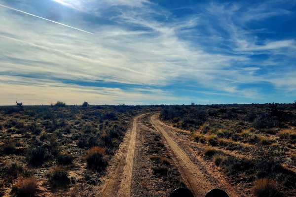
Way Out
This trail is aptly named and serves as an alternate route out of the area after exploring Mill Road, avoiding the need to backtrack. The northern section runs north to south and remains a true off-road route with single-vehicle width, washouts, ruts, and wide-open high desert views, along with feat...
Learn more about Way Out
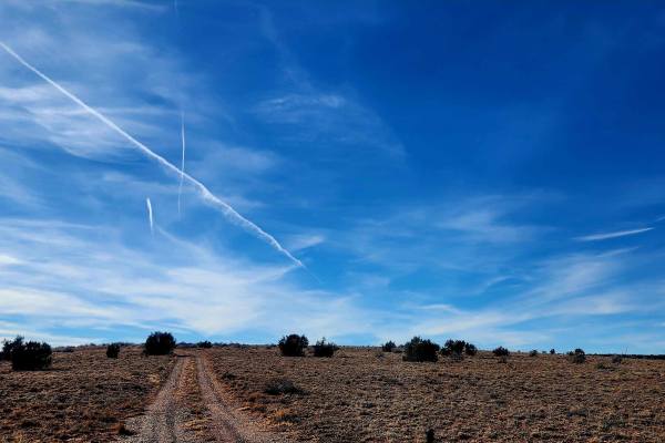
Mill Road
This trail follows a 3-mile road through the land north of Snowflake and Taylor, Arizona, traveling from east to west with a variety of open desert views. Along the route are broad mesas, expansive blue skies, and several windmills that define the landscape. Early on, the road passes a clearly marke...
Learn more about Mill Road
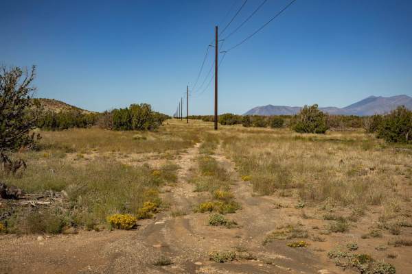
Power Access
The Power Access trail is a one-lane trail that cuts through varying terrain. The trail has multiple rock sections that feature loose rocks and shelf obstacles, but nothing too gnarly. There are no major obstacles on this trail. There are hills with loose rock, erosion, and water damage as well as w...
Learn more about Power Access
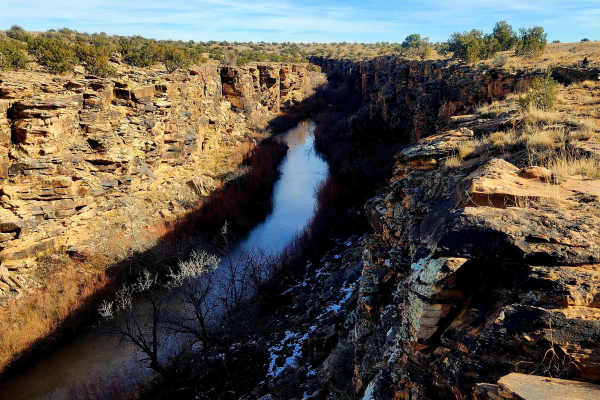
Five Mile Draw
This trail makes a great side trek for those passing through the area with about an hour to spare, though it can easily take longer depending on how much time is spent exploring. The route is only 2.2 miles, but the canyon offers plenty to see on foot, and the short loop can take around 45 minutes t...
Learn more about Five Mile Draw
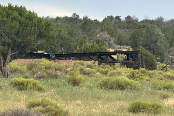
Sand Draw
This route can start out fine and smooth just grass. Then it suddenly turns into what on this day was a 12-degree roll to the side with the best line I could find. Other spots are much worse and with just a little rain these ruts fill up and are unable to determine depth and they can vary significan...
Learn more about Sand Draw
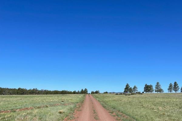
FS 125 to Kinnickinnick Lake Road
This section of Forest Service Road 125 leads you from the intersection with FS 126 and ends at another intersection with the Kinnickinnick Lake Road. The eastern part of this trail is fairly rocky as you climb onto the Anderson Mesa. This rocky section is a shelf road with some very sneaky and rock...
Learn more about FS 125 to Kinnickinnick Lake Road
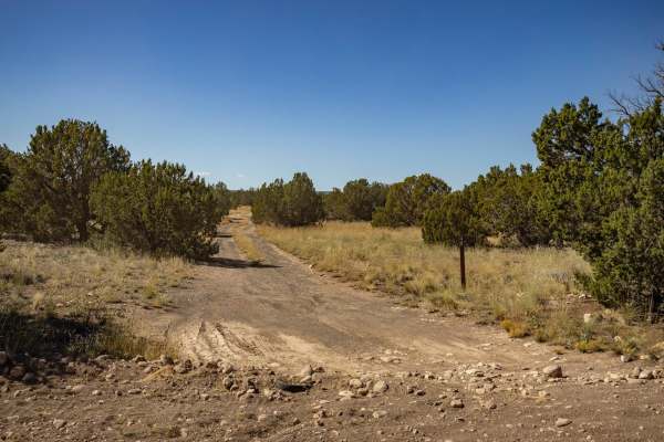
4B
The 4B trail is a mostly mellow trail, with no major obstacles on it. The trail sports erosion and water damage, as well as some wash crossings with off-camber, steep entrances and exits. Some of the water damage has left rock ledges, but nothing that a standard off-road vehicle can't handle. The tr...
Learn more about 4B
150 Actual
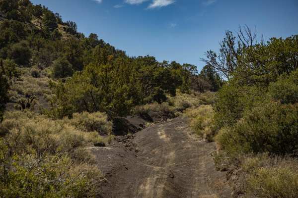
This trail sports varying terrain including, loose deep sand, gravel, erosion, water damage, rocks, and off-camber situations. This trail was run from East to West, and gets rougher the further West you go, specifically around Deadman Wash. There are off-camber wash crossings, as well as steep entra...
Learn more about 150 Actual
Two Guns Access
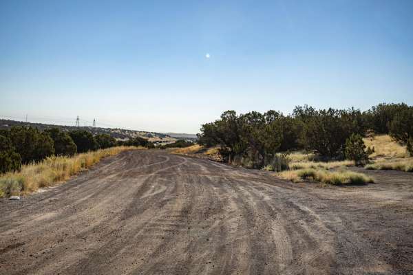
Listed as an access road to Two Guns, Arizona, this road does not go through. It runs along the I-40 Interstate in its entirety and has no obstacles on it. This trail is wide, with plenty of room to pass and/or turn around. It serves as an access point to the many trails that shoot off into the fore...
Learn more about Two Guns Access
FS 82
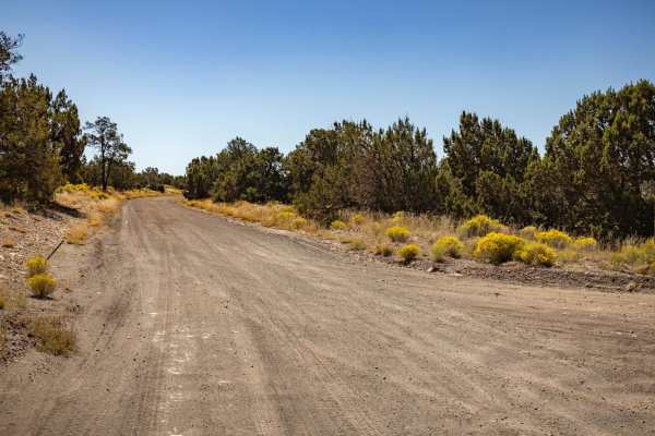
FS 82 is a wide dirt road with no obstacles on it. This trail is a main artery that cuts through this area, there are many access points to head deeper into the forest on numerous intersecting trails. There are no obstacles on this trail, other than some mild ruts and erosion/water damage. This trai...
Learn more about FS 82
150 Pits
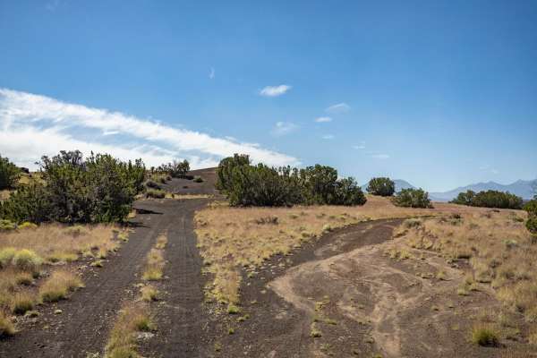
The 150 Pits Trail serves as an access and camping trail in the area that is adjacent to the Wupatki National Monument. There are many campsites along this trail, with the Southern end around the pits having numerous flat spots available to be camped in. The cinder pit area looks like it serves as a...
Learn more about 150 Pits
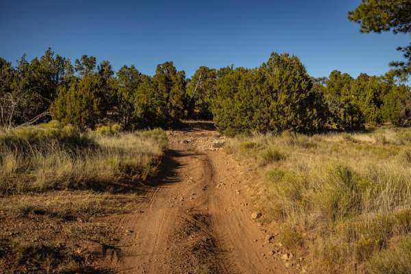
Power North
Power North is decidedly not as challenging as its counterpart to the South, but it does sport ledges of varying size, particularly on the uphills. There are wash crossings filled with large rocks, and these crossings have steep entrances and exits that could become challenging if attempted during m...
Learn more about Power North
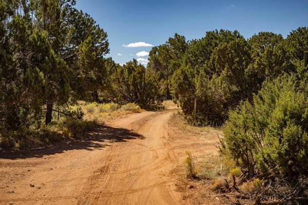
128 E
Trail 128E is a one-lane mostly dirt trail. At times this trail will cross rock gardens with many large and loose rocks. There are numerous wash crossings that have off-camber sections as well as steep entrances and exits. There are mud ruts, as well as erosion with significant damage/washouts along...
Learn more about 128 E
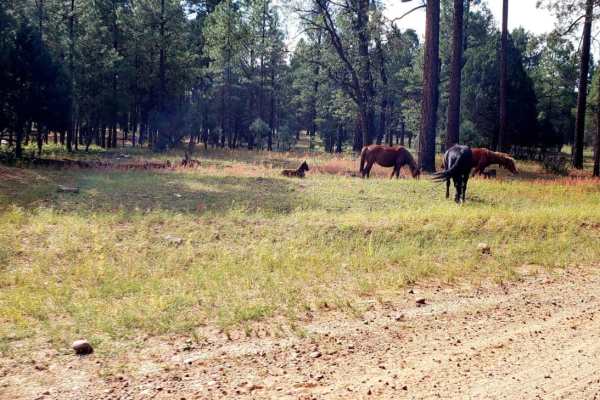
ATV 14
This trail has some really great views of wilderness near Heber - Overgaard, AZ. There is a point where there is an area that will require a machine capable of being a mountain goat, definitely an ATV trail. I did not realize it was an ATV trail until I started on a downhill segment into the canyon ...
Learn more about ATV 14
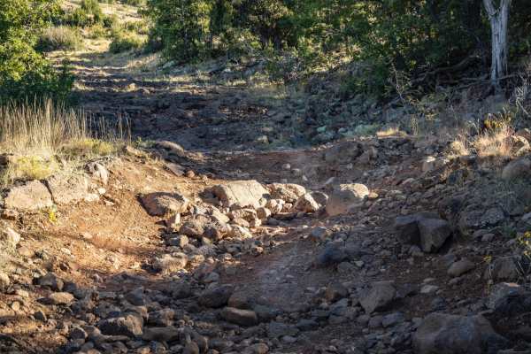
South Power Slog
South Power Slog was run from its South end to the North. It consists of large rocks, and what seems to be an endless rock garden, from the high start at Ashurst Lake all the way until you drop into the lower elevations. The route is comprised of ledges, boulders, a rocky creek section, erosion, was...
Learn more about South Power Slog
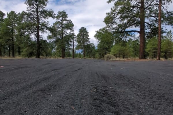
Cinder Hills OHV Area 777
This full-width, gently rolling, whoops-filled, cinder track winds between cinder cones and through the heart of Cinder Hills OHV. Aside from a sign at either end with mileage to Cinder Lake and the 776 intersections, there is no signage designating the official 777 route. Because this is an open ri...
Learn more about Cinder Hills OHV Area 777
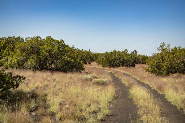
9157Y
9157Y is a connector trail that cuts through the Juniper and Mixed pine of this area, South of the Wupatki National Monument. This trail is a typical one in the area and is a two-track that is predominately rock, sand, and cinder crush. Along this trail, you'll encounter campsites, some with primiti...
Learn more about 9157Y
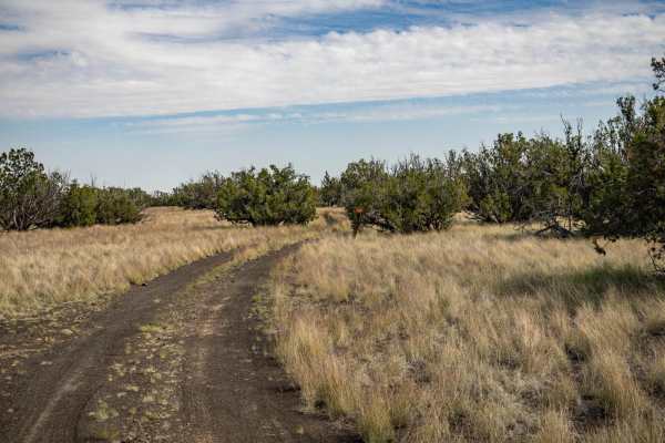
782
The 782 Trail is an interesting one. On its journey through the entire area South of the Wupatki National Monument, it sports varying terrain. Spots of deep, soft, sand may become problematic if you're unprepared. Sporadic rock gardens spring up and make the trail bumpy at times, with sneaky rocks i...
Learn more about 782
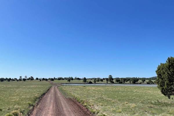
Kinnickinnick Lake
The road to Kinnickinnick Lake is a maintained dirt road that is easygoing and scenic. The start of this trail is off of Forest Service Road 125. You will see a sign pointing the way to the lake. The first part of the trail travels through ponderosa pines. This area is where the majority of the disp...
Learn more about Kinnickinnick Lake
ATV trails near Dilkon, Arizona
Explore ATV-friendly trails near you. These trails are accessible for vehicles up to 50 inches wide, perfect for ATVs and smaller off-road machines.
FS 126 to FS 125
This lengthy trail starts right off I-40 and stretches just over 16 miles. This is an off-and-on maintained gravel road that is very dusty and washboarded. The majority of this trail travels across a flat landscape with open plains to the north and more forested areas to the south. There are several...
Learn more about FS 126 to FS 125
Way Out
This trail is aptly named and serves as an alternate route out of the area after exploring Mill Road, avoiding the need to backtrack. The northern section runs north to south and remains a true off-road route with single-vehicle width, washouts, ruts, and wide-open high desert views, along with feat...
Learn more about Way Out
Mill Road
This trail follows a 3-mile road through the land north of Snowflake and Taylor, Arizona, traveling from east to west with a variety of open desert views. Along the route are broad mesas, expansive blue skies, and several windmills that define the landscape. Early on, the road passes a clearly marke...
Learn more about Mill Road
Power Access
The Power Access trail is a one-lane trail that cuts through varying terrain. The trail has multiple rock sections that feature loose rocks and shelf obstacles, but nothing too gnarly. There are no major obstacles on this trail. There are hills with loose rock, erosion, and water damage as well as w...
Learn more about Power Access
UTV/side-by-side trails near Dilkon, Arizona
Find UTV and side-by-side trails near you. These trails accommodate vehicles up to 60 inches wide, ideal for UTVs, side-by-sides, and wider off-road rigs.
FS 126 to FS 125
This lengthy trail starts right off I-40 and stretches just over 16 miles. This is an off-and-on maintained gravel road that is very dusty and washboarded. The majority of this trail travels across a flat landscape with open plains to the north and more forested areas to the south. There are several...
Learn more about FS 126 to FS 125
Way Out
This trail is aptly named and serves as an alternate route out of the area after exploring Mill Road, avoiding the need to backtrack. The northern section runs north to south and remains a true off-road route with single-vehicle width, washouts, ruts, and wide-open high desert views, along with feat...
Learn more about Way Out
Mill Road
This trail follows a 3-mile road through the land north of Snowflake and Taylor, Arizona, traveling from east to west with a variety of open desert views. Along the route are broad mesas, expansive blue skies, and several windmills that define the landscape. Early on, the road passes a clearly marke...
Learn more about Mill Road
Power Access
The Power Access trail is a one-lane trail that cuts through varying terrain. The trail has multiple rock sections that feature loose rocks and shelf obstacles, but nothing too gnarly. There are no major obstacles on this trail. There are hills with loose rock, erosion, and water damage as well as w...
Learn more about Power Access
The onX Offroad Difference
onX Offroad combines trail photos, descriptions, difficulty ratings, width restrictions, seasonality, and more in a user-friendly interface. Available on all devices, with offline access and full compatibility with CarPlay and Android Auto. Discover what you're missing today!
Open Trail Map