
Dirt Bike Trails
Near Collegeville, Pennsylvania
Explore All Dirt Bike Trails Near Collegeville, Pennsylvania
Dirt Bike Trails Near Collegeville, Pennsylvania
Discover the best dirt bike trails near you. Browse trail maps, check difficulty ratings, and find your next adventure — whether you're looking for a quick ride or an all-day expedition.
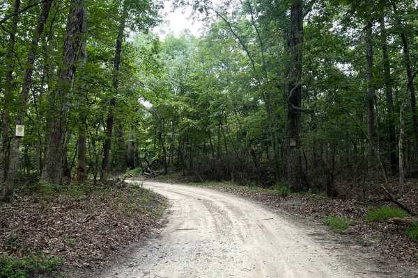
Three Bridge Road
Three Bridge Road is located in the western part of Wharton State Forest. Three Bridge Road is a sandy trail with minor potholes throughout the length of the trail. There are a few shoulders to stop at and let traffic through. The trail is mostly one vehicle wide. Three Bridge Road ends at an inters...
Learn more about Three Bridge Road
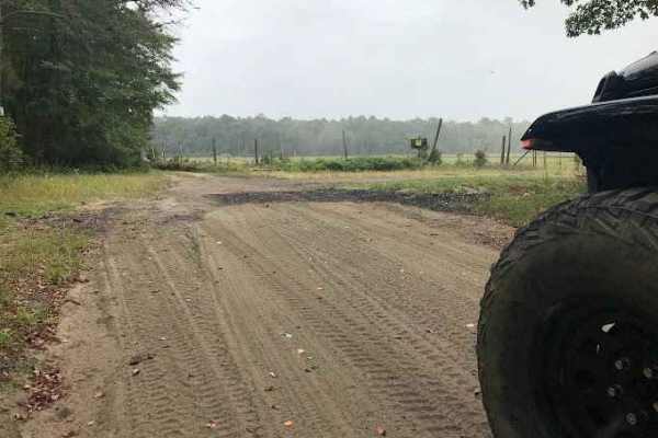
Stokes Trail
Moderately easy trail running about 4-5 miles in length. The trail is rather smooth and easy when dry but is prone to flooding. The southern end of the trail contains heavily whooped sections that can make it easy for you to bottom out if you do not take your time. You can also access sections of th...
Learn more about Stokes Trail
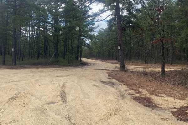
Tuckerton Road Trail
Tuckerton Road Trail is part of a network of trails within Wharton State Forest. This trail varies depending on the amount of rain. The difficulty of the trail is about a 3. It consists of a variety of terrain, from hard-packed sand to large spans of water (usually no more than 2 feet deep) to soft-...
Learn more about Tuckerton Road Trail
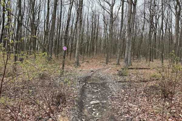
Burma Single Track 2
Single track is not for the beginner and is just for MX dirt bikes. These trail sections are very narrow paths that are sometimes only as wide as the handlebars. There can be very steep hills, large drop-offs, dangerous turns, and so much more. Please use caution if you are not familiar with this st...
Learn more about Burma Single Track 2
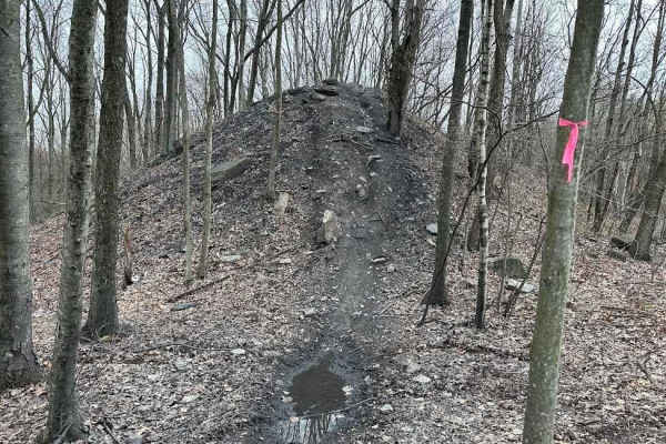
Burma Single Track 3
Single track is not for the beginner and is just for MX dirt bikes. These trail sections are very narrow paths that are sometimes only as wide as the handlebars. There can be very steep hills, large drop-offs, dangerous turns, and so much more. Please use caution if you are not familiar with this st...
Learn more about Burma Single Track 3
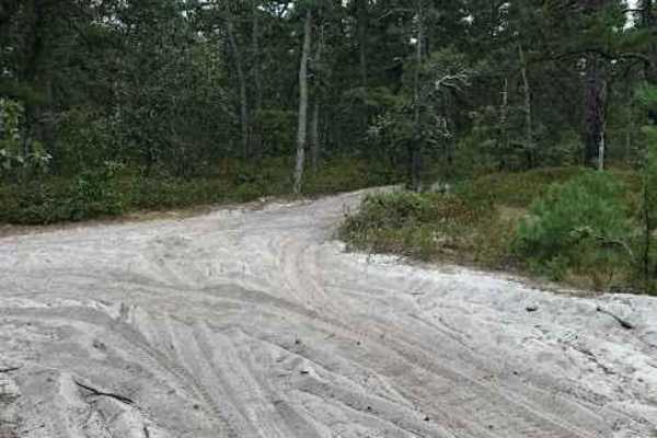
Stokes Connector
This is a very short and very rough trail connecting two main trails of the Wharton State Forest. This trail is bumpy and tight but does open up mid-way to a clearing that would be a great stop for some lunch or a place to relax. There is a small stream that may vary depending on rainfall and it is ...
Learn more about Stokes Connector
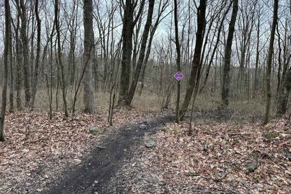
Burma Single Track 4
Single track is not for the beginner and is just for MX dirt bikes. These trail sections are very narrow paths that are sometimes only as wide as the handlebars. There can be very steep hills, large drop-offs, dangerous turns, and so much more. Please use caution if you are not familiar with this st...
Learn more about Burma Single Track 4
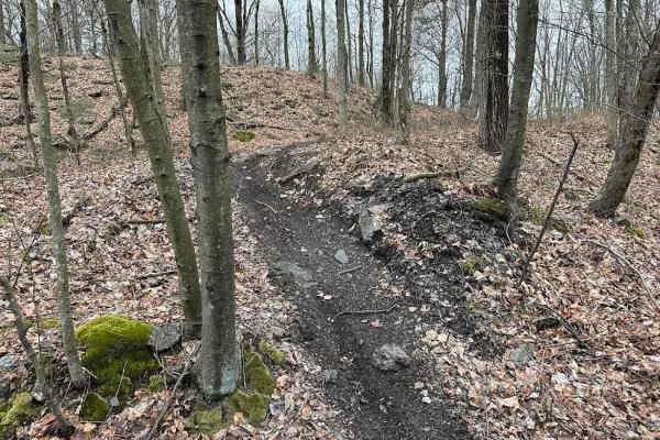
Burma Single Track 5
Single track is not for the beginner and is just for MX dirt bikes. These trail sections are very narrow paths that are sometimes only as wide as the handlebars. There can be very steep hills, large drop-offs, dangerous turns, and so much more. Please use caution if you are not familiar with this st...
Learn more about Burma Single Track 5
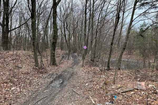
Burma Single Track 10
Single track is not for the beginner and is just for MX dirt bikes. These trail sections are very narrow paths that are sometimes only as wide as the handlebars. There can be very steep hills, large drop-offs, dangerous turns, and so much more. Please use caution if you are not familiar with this st...
Learn more about Burma Single Track 10
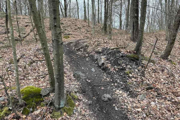
Burma Single Track 22
Single track is not for the beginner and is just for MX dirt bikes. These trail sections are very narrow paths that are sometimes only as wide as the handlebars. There can be very steep hills, large drop-offs, dangerous turns, and so much more. Please use caution if you are not familiar with this st...
Learn more about Burma Single Track 22
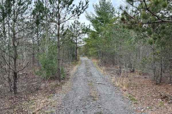
Burma 52
This is a wooded trail with multiple options for working through tight trees. The trail is fairly easy except for a few small rocks, trail debris, and branches. If you are worried about paint or plastic getting scratched, use caution on this trail. Burma 52 leads to the eastern side as a nice bypass...
Learn more about Burma 52
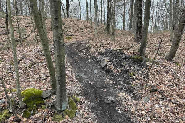
Burma Single Track 23
Single track is not for the beginner and is just for MX dirt bikes. These trail sections are very narrow paths that are sometimes only as wide as the handlebars. There can be very steep hills, large drop-offs, dangerous turns, and so much more. Please use caution if you are not familiar with this st...
Learn more about Burma Single Track 23
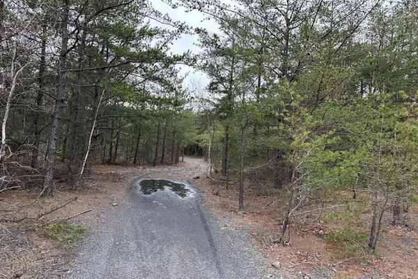
Burma 45
This is an easier trail with some tight trees. The end of this trail is a dead-end loop but there are a few trails that branch off from the sides. This is the far eastern side of the Burma trail network and there are only a few trails that lead back. Don't get lost or go off-property.
Learn more about Burma 45
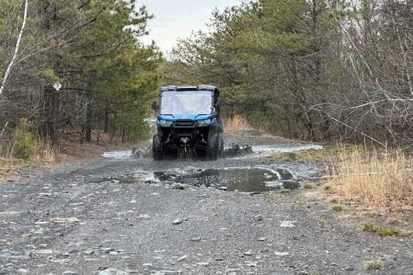
Burma 48
Burma 48 is a continuation of the wide road that is the main road across the middle of the Burma property. The section connects a lot of the trails in this part of the trail network. This wide road it full of softball-sized rocks and small puddles.
Learn more about Burma 48
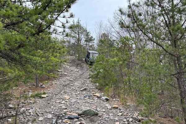
Burma 47
Burma 47 has a few starting points and also has a spot that goes off the property. Most of the trail is nice with small rocks and some tight tree branches. There is a technical hill with a harder line and an easier line. Plan accordingly and be safe.
Learn more about Burma 47
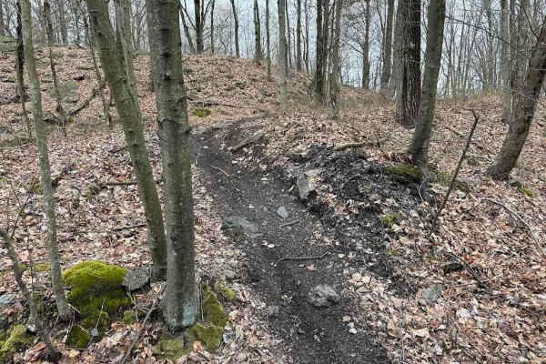
Burma Single Track 6
Single track is not for the beginner and is just for MX dirt bikes. These trail sections are very narrow paths that are sometimes only as wide as the handlebars. There can be very steep hills, large drop-offs, dangerous turns, and so much more. Please use caution if you are not familiar with this st...
Learn more about Burma Single Track 6
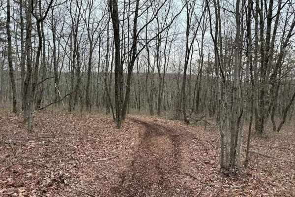
Burma 24
Burma 24 is a twisty wooded trail with some rocks mixed in. There are some slight elevation changes as you weave through this trail. Watch for small stumps as this is a semi-new trail and the obstacles are just now starting to appear. Longer machines may scrape in certain spots.
Learn more about Burma 24
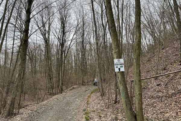
Burma 44
Burma 44 dead-ends on one side and goes off the property on the other. Stay on the trail and do not trespass. Trail obstacles include roots, small rocks, short hills, water puddles, and more. It is not a difficult trail but it pretty much leads to nowhere.
Learn more about Burma 44
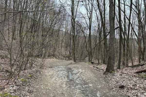
Burma 43
Burma 43 connects between 57 and 44. It is a wet and muddy trail that slowly works down to 44. Expect lots of puddles with some mud. Some of the puddles could be very muddy during different times of the year. There are bypasses around a bunch of it.
Learn more about Burma 43
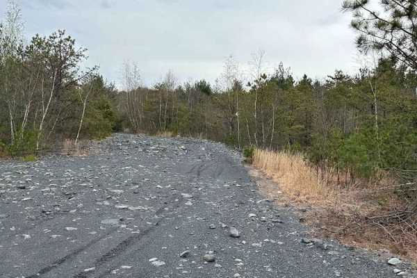
Burma 53
Burma 53 is an easier trail with a slight hill and small rocks scattered around. This can be tight when the branches are full and could cause some scratches. It weaves its way between trails 48 and 52. Watch your tires on the sides of this trail as there are some sharp rocks.
Learn more about Burma 53
ATV trails near Collegeville, Pennsylvania
Explore ATV-friendly trails near you. These trails are accessible for vehicles up to 50 inches wide, perfect for ATVs and smaller off-road machines.
Stokes Trail
Moderately easy trail running about 4-5 miles in length. The trail is rather smooth and easy when dry but is prone to flooding. The southern end of the trail contains heavily whooped sections that can make it easy for you to bottom out if you do not take your time. You can also access sections of th...
Learn more about Stokes Trail
Tuckerton Road Trail
Tuckerton Road Trail is part of a network of trails within Wharton State Forest. This trail varies depending on the amount of rain. The difficulty of the trail is about a 3. It consists of a variety of terrain, from hard-packed sand to large spans of water (usually no more than 2 feet deep) to soft-...
Learn more about Tuckerton Road Trail
Stokes Connector
This is a very short and very rough trail connecting two main trails of the Wharton State Forest. This trail is bumpy and tight but does open up mid-way to a clearing that would be a great stop for some lunch or a place to relax. There is a small stream that may vary depending on rainfall and it is ...
Learn more about Stokes Connector
Burma 52
This is a wooded trail with multiple options for working through tight trees. The trail is fairly easy except for a few small rocks, trail debris, and branches. If you are worried about paint or plastic getting scratched, use caution on this trail. Burma 52 leads to the eastern side as a nice bypass...
Learn more about Burma 52
UTV/side-by-side trails near Collegeville, Pennsylvania
Find UTV and side-by-side trails near you. These trails accommodate vehicles up to 60 inches wide, ideal for UTVs, side-by-sides, and wider off-road rigs.
Stokes Trail
Moderately easy trail running about 4-5 miles in length. The trail is rather smooth and easy when dry but is prone to flooding. The southern end of the trail contains heavily whooped sections that can make it easy for you to bottom out if you do not take your time. You can also access sections of th...
Learn more about Stokes Trail
Tuckerton Road Trail
Tuckerton Road Trail is part of a network of trails within Wharton State Forest. This trail varies depending on the amount of rain. The difficulty of the trail is about a 3. It consists of a variety of terrain, from hard-packed sand to large spans of water (usually no more than 2 feet deep) to soft-...
Learn more about Tuckerton Road Trail
Stokes Connector
This is a very short and very rough trail connecting two main trails of the Wharton State Forest. This trail is bumpy and tight but does open up mid-way to a clearing that would be a great stop for some lunch or a place to relax. There is a small stream that may vary depending on rainfall and it is ...
Learn more about Stokes Connector
Burma 52
This is a wooded trail with multiple options for working through tight trees. The trail is fairly easy except for a few small rocks, trail debris, and branches. If you are worried about paint or plastic getting scratched, use caution on this trail. Burma 52 leads to the eastern side as a nice bypass...
Learn more about Burma 52
The onX Offroad Difference
onX Offroad combines trail photos, descriptions, difficulty ratings, width restrictions, seasonality, and more in a user-friendly interface. Available on all devices, with offline access and full compatibility with CarPlay and Android Auto. Discover what you're missing today!
Open Trail Map