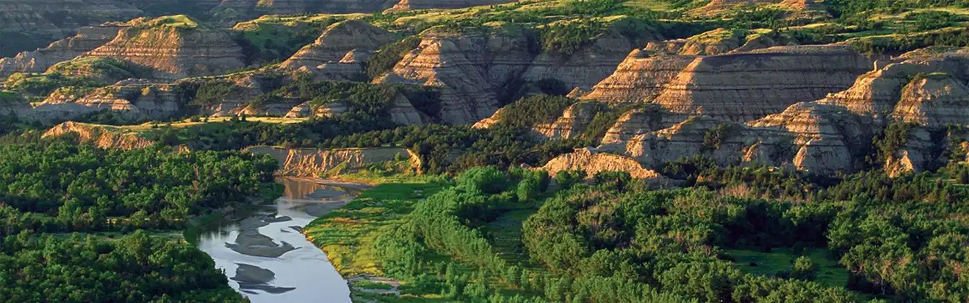
Dirt Bike Trails
Near Cody, Nebraska
Explore All Dirt Bike Trails Near Cody, Nebraska
Dirt Bike Trails Near Cody, Nebraska
Discover the best dirt bike trails near you. Browse trail maps, check difficulty ratings, and find your next adventure — whether you're looking for a quick ride or an all-day expedition.
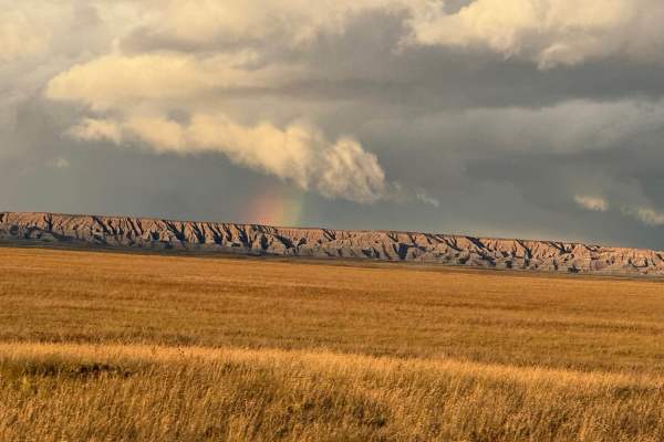
Conata Basin Road
Conata Basin Road is a two-lane gravel route that winds through the stunning expanse of Buffalo Gap National Grassland, leading straight into the heart of Badlands National Park. Beginning off SD-44 to the south, this scenic drive carries you northward, offering panoramic views of the wide-open prai...
Learn more about Conata Basin Road
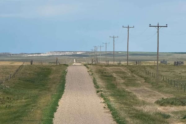
Horton Road - Northern Boundary of Badlands National Park
Horton Road is a remote two-track that runs along the northern boundary of Badlands National Park in South Dakota. This lightly maintained backcountry road cuts through open prairie terrain, with long, straight stretches flanked by grasslands, ranch fencing, and power lines.The trail provides expans...
Learn more about Horton Road - Northern Boundary of Badlands National Park

The Wall
This is a dirt trail that runs along the cliff edge of Buffalo National Grasslands overlooking part of the Badlands and offering numerous boondocking locations. Both north and south ends of the trail are along Highway 240. The trail offers expansive views of the northern parts of the Badlands to t...
Learn more about The Wall

Grasslands to Badlands
This trail starts just off Interstate 90 at exit 116 in the Buffalo Gap National Grassland. It is a mostly straight trail southbound to the scenic drive through the Badlands National Park. It can be driven in either direction, but entering from the south end requires an entry fee to Badlands Nationa...
Learn more about Grasslands to Badlands

Buffalo Gap Nat Grassland North
An excellent and scenic trail through the Grassland area north of the Badlands NP. The road starts next to the Minuteman Missile and goes up to Hwy 240 in Wall. It's an easy dirt road until you get closer to Highway 240. The last part of the trail is very steep and has up to 18" deep washouts. You'l...
Learn more about Buffalo Gap Nat Grassland North

Buffalo Gap Natl Grassland South
One of the most beautiful roads in the Badlands NP - Buffalo Gap Grassland area. The dirt road takes you from E Hwy 44 to the Bombing Range Rd. It connects the east and the west parts of the Badlands NP. A dirt road can be challenging after a lot of rain. Several creek and river crossings make that ...
Learn more about Buffalo Gap Natl Grassland South

Little Wolves
The three trails that comprise this route are all at or just under 3 miles long. The first two-thirds (Little Wolf East and Highline) are well-maintained gravel;most of the last third is dirt - a portion of which washes out and creates deep, wide ruts. Several areas of the trail also collect runoff ...
Learn more about Little Wolves

Forest Road 203 - Circle
This is a main trail in the Nebraska National Forest. It will allow access to many other trails in the forest network along with access, via offshoot trails, to Natick Campground and Whitetail Campground. The trail is mainly comprised of hard pack and medium to soft sand. There are areas of washboar...
Learn more about Forest Road 203 - Circle

Forest Road 203A - Circle Trail
This is mainly a wide trail that has a mix of soft sand, hard-pack sand and hard-pack dirt. The trail will lead you through some great views of the area's dunes, and prairies, and into a small forestry tree area. There are minor ruts and washouts along the trail. There are ample areas to pass and th...
Learn more about Forest Road 203A - Circle Trail

Forest Road 223 - Scenic
This is a main trail that will be accessed by many from the Bessey Recreation Center. The trail is short but caution should be used by those with a rooftop tent or a top-heavy vehicle as this trail will put you off-camber. The trail is very narrow with soft and deep sand. The trail also has a few ar...
Learn more about Forest Road 223 - Scenic

Bear Creek Spur
This is an out-and-back trail, with the trail ending at the border of neighboring private property. The trail starts behind a wire cattle gate, be sure to always shut the gate behind you. For the first mile, the trail snakes through a wide grassy valley of relatively soft loamy dirt, although you wo...
Learn more about Bear Creek Spur

Highline Trail
This trail is a 2-track that's mainly comprised of hard pack dirt. There are minor to medium-sized washouts and ruts that can fill with mud after heavy rainfall. There are a few areas on the 213 section of this run that will put you in slight off-camber conditions. The majority of this run is in ope...
Learn more about Highline Trail

Kings Canyon Trail
The trail starts and ends on loose gravel. The center section of the trail is mainly comprised of 2-track hard pack natural dirt. There are several large 'whoops', ruts, and washouts along the center section where additional ground clearance would be preferred. The center section has the potential t...
Learn more about Kings Canyon Trail

Spring Draw Rd
Spring Draw Rd is an accessible, well-maintained Gravel Road that connects Indian Creek Rd Hwy 44 and takes you through the northwest part of Buffalo Gap Natl Grassland. You might be able to see prairie dogs along the road. The rugged beauty of the Badlands draws visitors from around the world. Thes...
Learn more about Spring Draw Rd

Indian Creek Rd
Indian Creek Rd is an easy well-maintained Gravel Road that starts in Scenic at the Bombing Range Rd and takes you through the north west part of Buffalo Gap Natl Grassland. You might be able to see prairie dogs along the road.The rugged beauty of the Badlands draws visitors from around the world. T...
Learn more about Indian Creek Rd

Strong Canyon Run
This is a two-part trail that's mainly 2-track and is comprised of hard-pack dirt. The trail starts off pretty tame when accessed from Kings Canyon, but conditions worsen after turning onto Trail 214. There are a few spots on 214 where off-camber conditions will reach 18-20 degrees, maybe more if yo...
Learn more about Strong Canyon Run

Outrider - FS 779
This is a 2-track trail that is very rough due to it being mainly composed of ruts and washouts. Be prepared to be bounced around quite a bit. It's an out-and-back that offers some amazing views of the area. The trail is mainly comprised of hard pack dirt, but there are a few areas where it becomes ...
Learn more about Outrider - FS 779

South Natick 212S
The trail is mostly sand, deep in several areas along it. It has overgrowth to its sides, and it will lead you through open prairies with some nice views off in the distance. A portion of the trail is marked by a sign as 4x4 only, but the USFS trail data makes no mention of this. There are some mino...
Learn more about South Natick 212S

Forest Road 277 - Whitetail / Weggener
This trail will lead you to, or from, Whitetail Campground. The trail has areas of hard to medium-packed sand with areas of soft sand. There are a few areas where the sand is also semi-deep. Those pulling a camper or trailer should have no issue reaching the campground from this trail. The trail has...
Learn more about Forest Road 277 - Whitetail / Weggener

Forest Road 214-2 - County Line
Warning for those towing a camper or trailer: This trial starts or ends at Whitetail Campground. This is a very popular campground. There are several very steep ascents and descents with very deep and soft sand. There are also areas where the tail is very narrow with sloping berms on both sides. The...
Learn more about Forest Road 214-2 - County Line
ATV trails near Cody, Nebraska
Explore ATV-friendly trails near you. These trails are accessible for vehicles up to 50 inches wide, perfect for ATVs and smaller off-road machines.

Conata Basin Road
Conata Basin Road is a two-lane gravel route that winds through the stunning expanse of Buffalo Gap National Grassland, leading straight into the heart of Badlands National Park. Beginning off SD-44 to the south, this scenic drive carries you northward, offering panoramic views of the wide-open prai...
Learn more about Conata Basin Road

Horton Road - Northern Boundary of Badlands National Park
Horton Road is a remote two-track that runs along the northern boundary of Badlands National Park in South Dakota. This lightly maintained backcountry road cuts through open prairie terrain, with long, straight stretches flanked by grasslands, ranch fencing, and power lines.The trail provides expans...
Learn more about Horton Road - Northern Boundary of Badlands National Park

The Wall
This is a dirt trail that runs along the cliff edge of Buffalo National Grasslands overlooking part of the Badlands and offering numerous boondocking locations. Both north and south ends of the trail are along Highway 240. The trail offers expansive views of the northern parts of the Badlands to t...
Learn more about The Wall

Grasslands to Badlands
This trail starts just off Interstate 90 at exit 116 in the Buffalo Gap National Grassland. It is a mostly straight trail southbound to the scenic drive through the Badlands National Park. It can be driven in either direction, but entering from the south end requires an entry fee to Badlands Nationa...
Learn more about Grasslands to Badlands
UTV/side-by-side trails near Cody, Nebraska
Find UTV and side-by-side trails near you. These trails accommodate vehicles up to 60 inches wide, ideal for UTVs, side-by-sides, and wider off-road rigs.

Conata Basin Road
Conata Basin Road is a two-lane gravel route that winds through the stunning expanse of Buffalo Gap National Grassland, leading straight into the heart of Badlands National Park. Beginning off SD-44 to the south, this scenic drive carries you northward, offering panoramic views of the wide-open prai...
Learn more about Conata Basin Road

Horton Road - Northern Boundary of Badlands National Park
Horton Road is a remote two-track that runs along the northern boundary of Badlands National Park in South Dakota. This lightly maintained backcountry road cuts through open prairie terrain, with long, straight stretches flanked by grasslands, ranch fencing, and power lines.The trail provides expans...
Learn more about Horton Road - Northern Boundary of Badlands National Park

The Wall
This is a dirt trail that runs along the cliff edge of Buffalo National Grasslands overlooking part of the Badlands and offering numerous boondocking locations. Both north and south ends of the trail are along Highway 240. The trail offers expansive views of the northern parts of the Badlands to t...
Learn more about The Wall

Grasslands to Badlands
This trail starts just off Interstate 90 at exit 116 in the Buffalo Gap National Grassland. It is a mostly straight trail southbound to the scenic drive through the Badlands National Park. It can be driven in either direction, but entering from the south end requires an entry fee to Badlands Nationa...
Learn more about Grasslands to Badlands
The onX Offroad Difference
onX Offroad combines trail photos, descriptions, difficulty ratings, width restrictions, seasonality, and more in a user-friendly interface. Available on all devices, with offline access and full compatibility with CarPlay and Android Auto. Discover what you're missing today!
Open Trail Map