
Dirt Bike Trails
Near Church Point, Louisiana
Explore All Dirt Bike Trails Near Church Point, Louisiana
Dirt Bike Trails Near Church Point, Louisiana
Discover the best dirt bike trails near you. Browse trail maps, check difficulty ratings, and find your next adventure — whether you're looking for a quick ride or an all-day expedition.
The Narrows
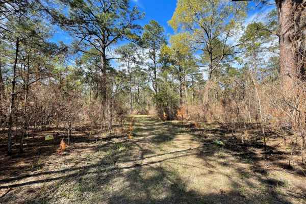
I call this trail The Narrows because it is very narrow. If you don't like pin striping I wouldn't go down this trail. I was in a mid-size truck a Nissan Frontier and the brush was dragging both sides of the truck most of the way down the trail. It's a beautiful area some places are fairly open and ...
Learn more about The Narrows
Claiborne "B" Loop
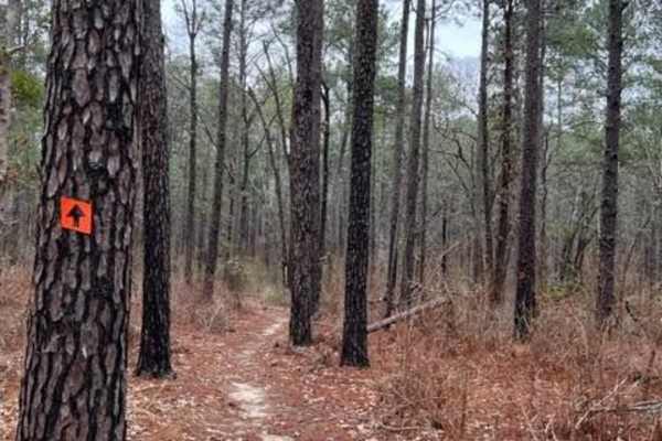
A diversified amount of roots, rocks, and flowy single track through the Kisatchie Forest has some elevation change. After a decent rain, the ground holds its moisture, so plan on wet and slimy conditions with some possible downed trees and mud holes. Overall, a very fun ride with many trails that c...
Learn more about Claiborne "B" Loop
Claiborne "A" Loop
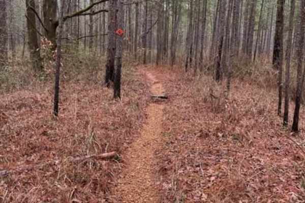
A diversified amount of roots, rocks, and flowy single track through the Kisatchie Forest has some elevation change. After a decent rain, the ground holds its moisture, so plan on wet and slimy conditions with some possible downed trees and mud holes. Overall, a very fun ride with many trails that c...
Learn more about Claiborne "A" Loop

Cat Island River Trail
This trail runs along the Mississippi River near the Cat Island National Wildlife Refuge. Depending on the time of year, higher river flood stages can make this trail inaccessible since it lies in a natural flood plain. During dryer periods, the trail is often covered with several inches of silt. Th...
Learn more about Cat Island River Trail
Livingston Trail
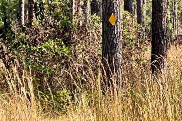
This is a smooth flowy trail that is overgrown at times but approximately 50" wide in spots. The trail is marked with a yellow diamond to help guide you along the way. There are beautiful tall pines, a very nice area in the heart of Kisatchiie forest. The best time to complete is in the fall/winter ...
Learn more about Livingston Trail
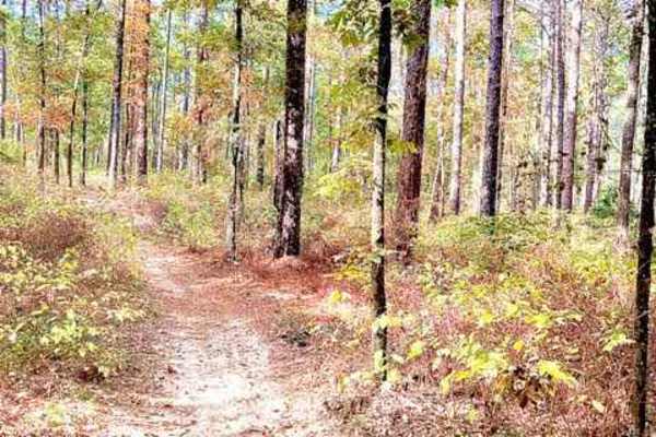
Hickman Trail
This is a great, fast, and fun trail that winds through the Kisatchie Forest. Trails are marked with a red diamond and guide you very well without worrying about getting lost. There are a lot of undulations and hills in central Louisiana. The trail is approximately 50" wide and is a two-way trail, s...
Learn more about Hickman Trail
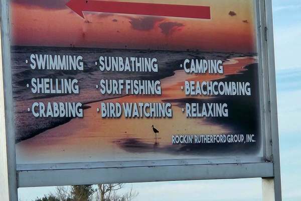
Rutherford Beach Mesquite Ridge
This beach trail is all sand but can be run by any vehicle. Be aware of tide conditions before setting up camp, as water levels can move quite a bit. The trail can be run in either direction and offers free camping anywhere along the beach. This beach is well known for its excellent surf fishing. Th...
Learn more about Rutherford Beach Mesquite Ridge
ATV trails near Church Point, Louisiana
Explore ATV-friendly trails near you. These trails are accessible for vehicles up to 50 inches wide, perfect for ATVs and smaller off-road machines.
The Narrows
I call this trail The Narrows because it is very narrow. If you don't like pin striping I wouldn't go down this trail. I was in a mid-size truck a Nissan Frontier and the brush was dragging both sides of the truck most of the way down the trail. It's a beautiful area some places are fairly open and ...
Learn more about The Narrows
Cat Island River Trail
This trail runs along the Mississippi River near the Cat Island National Wildlife Refuge. Depending on the time of year, higher river flood stages can make this trail inaccessible since it lies in a natural flood plain. During dryer periods, the trail is often covered with several inches of silt. Th...
Learn more about Cat Island River Trail
Livingston Trail
This is a smooth flowy trail that is overgrown at times but approximately 50" wide in spots. The trail is marked with a yellow diamond to help guide you along the way. There are beautiful tall pines, a very nice area in the heart of Kisatchiie forest. The best time to complete is in the fall/winter ...
Learn more about Livingston Trail
Hickman Trail
This is a great, fast, and fun trail that winds through the Kisatchie Forest. Trails are marked with a red diamond and guide you very well without worrying about getting lost. There are a lot of undulations and hills in central Louisiana. The trail is approximately 50" wide and is a two-way trail, s...
Learn more about Hickman Trail
UTV/side-by-side trails near Church Point, Louisiana
Find UTV and side-by-side trails near you. These trails accommodate vehicles up to 60 inches wide, ideal for UTVs, side-by-sides, and wider off-road rigs.
The Narrows
I call this trail The Narrows because it is very narrow. If you don't like pin striping I wouldn't go down this trail. I was in a mid-size truck a Nissan Frontier and the brush was dragging both sides of the truck most of the way down the trail. It's a beautiful area some places are fairly open and ...
Learn more about The Narrows
Cat Island River Trail
This trail runs along the Mississippi River near the Cat Island National Wildlife Refuge. Depending on the time of year, higher river flood stages can make this trail inaccessible since it lies in a natural flood plain. During dryer periods, the trail is often covered with several inches of silt. Th...
Learn more about Cat Island River Trail
Rutherford Beach Mesquite Ridge
This beach trail is all sand but can be run by any vehicle. Be aware of tide conditions before setting up camp, as water levels can move quite a bit. The trail can be run in either direction and offers free camping anywhere along the beach. This beach is well known for its excellent surf fishing. Th...
Learn more about Rutherford Beach Mesquite Ridge
The onX Offroad Difference
onX Offroad combines trail photos, descriptions, difficulty ratings, width restrictions, seasonality, and more in a user-friendly interface. Available on all devices, with offline access and full compatibility with CarPlay and Android Auto. Discover what you're missing today!
Open Trail Map