
Dirt Bike Trails
Near Cheraw, South Carolina
Explore All Dirt Bike Trails Near Cheraw, South Carolina
Dirt Bike Trails Near Cheraw, South Carolina
Discover the best dirt bike trails near you. Browse trail maps, check difficulty ratings, and find your next adventure — whether you're looking for a quick ride or an all-day expedition.
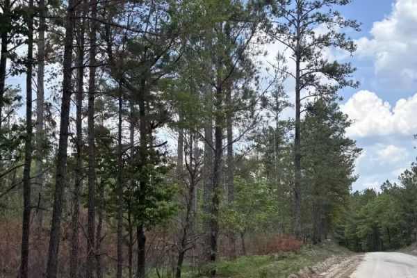
Swift Creek Road
Swift Creek Road runs along the boundary of the Carolina Sandhills National Wildlife Refuge. The road surface was mostly sandy and light-colored, with some loose sand, pine needles, and small debris along the edges. The route offers wide open views of long sand roads, pine forest, and big sky. There...
Learn more about Swift Creek Road
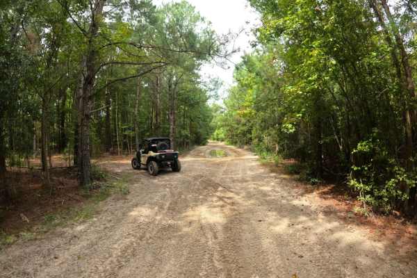
Helena Gap
This cut-through is great for larger vehicles looking to bypass the mud pit and narrow bypass that exists just beyond (or before, depending on the direction of travel) the intersection with Blackdog's Boulevard and The Beaten Path. It's comprised of compact sand and is large enough for two vehicles ...
Learn more about Helena Gap
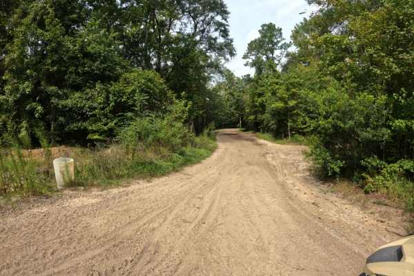
Blackdog's Boulevard
This is a complex trail that offers a challenging and fun adventure. It is compact sand and wide enough for multiple vehicles in most places. Like most of the other trails in this section, there are several major mud holes that you can bypass, and the path around them is easy. However, this trail ha...
Learn more about Blackdog's Boulevard
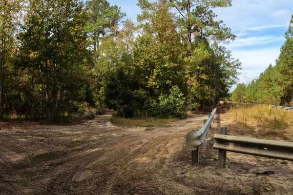
Sadie's Way
This trail is a great single-lane alternative to The Beaten Path. As Sadie's Way winds through the forest, it's comprised of mostly compact sand with some loose areas in between. There are several mud pits along the way as well; however, they all have a narrow bypass around them. Vehicles larger tha...
Learn more about Sadie's Way
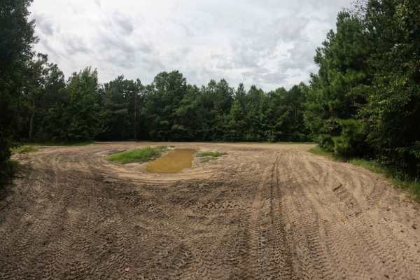
Beaten Path
The Beaten Path lives up to its namesake, the trail is hardpacked sand with multiple mud holes in the middle of the trail; however, they're easy to bypass under normal conditions. There is one large obstacle that comes shortly after the intersection with Blackdog's Boulevard, or before the intersect...
Learn more about Beaten Path
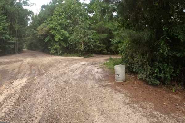
Cooke's Circle
This loop begins and ends at the Heritage Trail intersection. Most of the obstacles on the trail are a few small mudholes that are easily bypassed around the edges. Further down the trail is a larger mud hole with no visible bypass that may pose a more significant challenge after heavy rain. As the ...
Learn more about Cooke's Circle
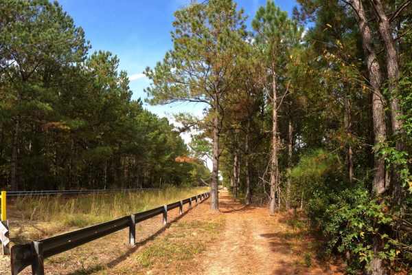
Adventure Alley
Adventure Alley follows the pipeline from Shelby Drive to Blackdog's Boulevard. The trail is single-lane and comprised of compact sand. The northern section of the trail has several sections of mud and ruts that may require a bypass if not equipped for it. The bypass through the trees can get tight ...
Learn more about Adventure Alley
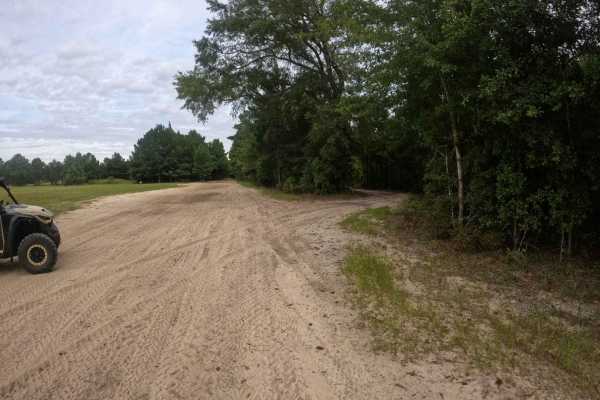
Trey's Trail
This is a great little trail that breaks off of Heritage Trail and runs parallel to it. It has a couple of blind corners and is mostly a single-lane trail with areas to pull off to allow traffic to pass. It feels a little slower-paced and avoids some of the mud holes that develop on its bigger broth...
Learn more about Trey's Trail
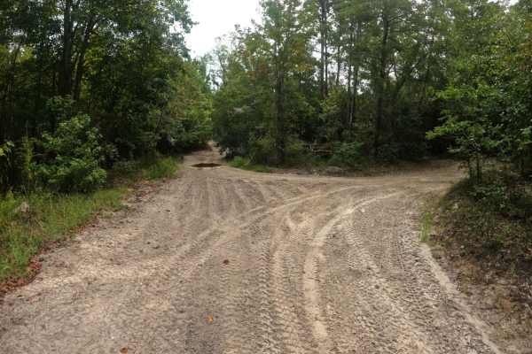
Oakley Road
This trail is accessible from the north side of the campground or from Cooke's Circle. Oakley Road is a nice and easy ride through the woods. It does have a few narrow blind corners so use caution. However, the trail is generally wide enough for two vehicles to pass. Be aware that the speed limit in...
Learn more about Oakley Road
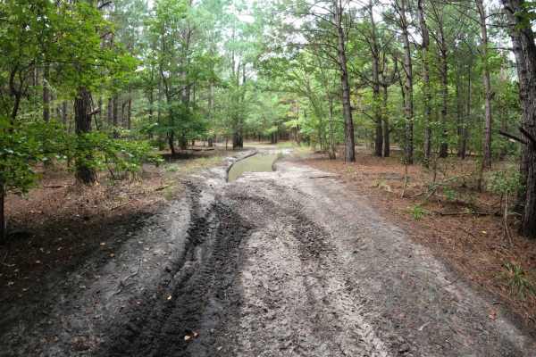
Laiklynn's Lane
This trail is a narrow single-lane track into the forest. For larger side-by-sides, expect some pinstripes and roof knocks. The trail is mostly compact sand with several small mud holes. About midway down the trail, a large muddy intersection is encountered. The trail breaks off right before the mud...
Learn more about Laiklynn's Lane
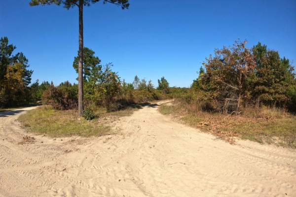
Devine Drive
The trail is well-maintained, wide, and features compact sand, making it relatively easy. Starting from the southern section near Lola's Loop, the trail is wide and dusty, offering little challenge. However, as you approach the intersection near Monies Hollow, it gradually narrows and becomes muddie...
Learn more about Devine Drive
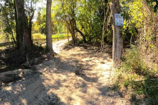
Monies Hollow
This is a single-lane trail that follows the gas line to Devine Drive at the western edge of the property. This trail is mostly comprised of compact sand and has several sections prone to standing water, with no bypass available. The sections of standing water are long and potentially deep. The trai...
Learn more about Monies Hollow
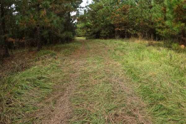
Strickland Drive
Strickland Road is a connector between Heritage Trail and Shelby Drive. The trail is mostly comprised of grass with compact sand underneath. Its wide;however, the trees tend to grow in near Shelby Drive, so the trail may narrow near this intersection. Use caution approaching Heritage Trail or Shelby...
Learn more about Strickland Drive
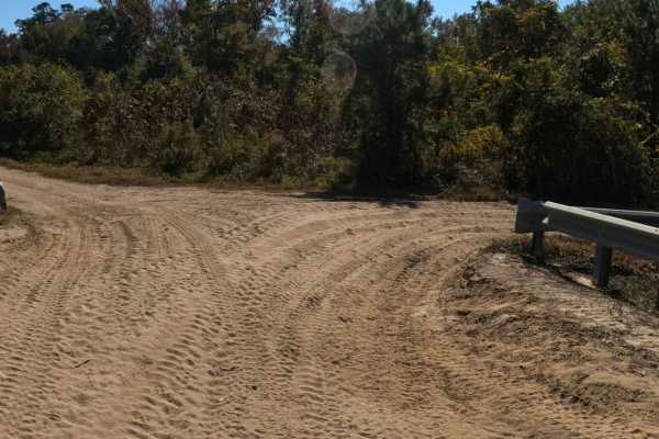
RCS Track
RCS Track is a single-lane trail, with plenty of areas to pass, that is mostly comprised of compact sand. Several low areas exist where mud pits have formed after heavy rain; bypass trails exist above all of them. This trail offers a little something for all abilities as well as cut-through access t...
Learn more about RCS Track
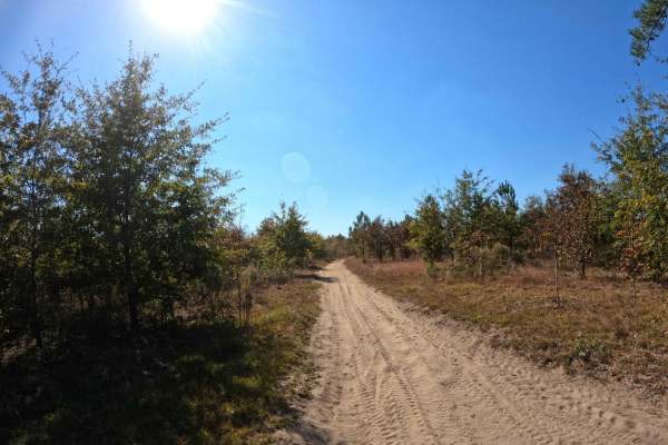
Tweety's Tweet
Tweety's Tweet is an easy, single-lane trail of compact sand that is great for bird-watching or escaping the crowds. Sitting higher than RCS Track, there is no mud on this trail, and it is seemingly less dusty than other trails in the area. However, the trail is narrow in most places, with very few ...
Learn more about Tweety's Tweet
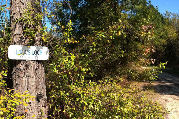
Lola's Loop
Lola's Loop is an easy, scenic cut-off that will bypass the area on Secret Passage that tends to have standing water. There is a deep rutted section on Lola's that you'll need to use caution around, however there is a wide bypass along the edge of it. It is more shaded in the afternoon if you're loo...
Learn more about Lola's Loop
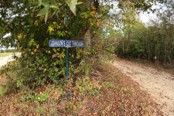
Johnson's Cut Through
Johnson's Cut Through is a short but wide trail, comprised mostly of compact sand. It allows access to Oakley Road or Heritage Trail without the need to track all the way back into the campground. The trail is well marked on Heritage Trail; however, no sign exists on Oakley Road. Use caution approac...
Learn more about Johnson's Cut Through
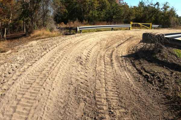
Loki Lane
This unmarked trail is a connector between Monies Hollow and Secret Passage. It's a wide trail comprised of mostly loose sand. This is a great option if you're looking to bypass the flooded section of Monies Hollow or if you're looking for a quick way to access Divine Drive.
Learn more about Loki Lane
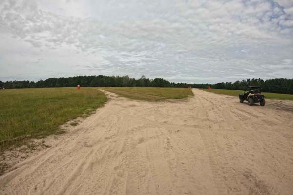
Shelby Drive
Shelby Drive has a split personality. Leaving from the northwest section of the campground, it is wide and comprised of compact sand that has plenty of room for multiple vehicles to pass. However, if you pick up the trail from Beaten Path, it is a narrow, single-lane trail that runs along the gas li...
Learn more about Shelby Drive
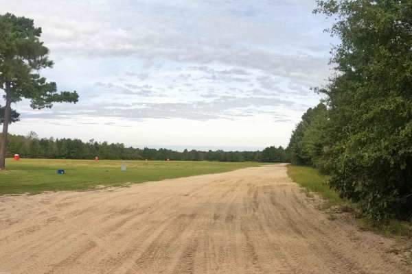
Heritage Trail
This main trail leaves from the north side of the campground. It's wide and comprised of compacted sand with several mud holes that are easily bypassed. This is a high use trail so use caution for oncoming traffic and bear in mind the speed limit of 5 mph in and around the campground.
Learn more about Heritage Trail
ATV trails near Cheraw, South Carolina
Explore ATV-friendly trails near you. These trails are accessible for vehicles up to 50 inches wide, perfect for ATVs and smaller off-road machines.
Swift Creek Road
Swift Creek Road runs along the boundary of the Carolina Sandhills National Wildlife Refuge. The road surface was mostly sandy and light-colored, with some loose sand, pine needles, and small debris along the edges. The route offers wide open views of long sand roads, pine forest, and big sky. There...
Learn more about Swift Creek Road
Helena Gap
This cut-through is great for larger vehicles looking to bypass the mud pit and narrow bypass that exists just beyond (or before, depending on the direction of travel) the intersection with Blackdog's Boulevard and The Beaten Path. It's comprised of compact sand and is large enough for two vehicles ...
Learn more about Helena Gap
Blackdog's Boulevard
This is a complex trail that offers a challenging and fun adventure. It is compact sand and wide enough for multiple vehicles in most places. Like most of the other trails in this section, there are several major mud holes that you can bypass, and the path around them is easy. However, this trail ha...
Learn more about Blackdog's Boulevard
Sadie's Way
This trail is a great single-lane alternative to The Beaten Path. As Sadie's Way winds through the forest, it's comprised of mostly compact sand with some loose areas in between. There are several mud pits along the way as well; however, they all have a narrow bypass around them. Vehicles larger tha...
Learn more about Sadie's Way
UTV/side-by-side trails near Cheraw, South Carolina
Find UTV and side-by-side trails near you. These trails accommodate vehicles up to 60 inches wide, ideal for UTVs, side-by-sides, and wider off-road rigs.
Swift Creek Road
Swift Creek Road runs along the boundary of the Carolina Sandhills National Wildlife Refuge. The road surface was mostly sandy and light-colored, with some loose sand, pine needles, and small debris along the edges. The route offers wide open views of long sand roads, pine forest, and big sky. There...
Learn more about Swift Creek Road
Helena Gap
This cut-through is great for larger vehicles looking to bypass the mud pit and narrow bypass that exists just beyond (or before, depending on the direction of travel) the intersection with Blackdog's Boulevard and The Beaten Path. It's comprised of compact sand and is large enough for two vehicles ...
Learn more about Helena Gap
Blackdog's Boulevard
This is a complex trail that offers a challenging and fun adventure. It is compact sand and wide enough for multiple vehicles in most places. Like most of the other trails in this section, there are several major mud holes that you can bypass, and the path around them is easy. However, this trail ha...
Learn more about Blackdog's Boulevard
Sadie's Way
This trail is a great single-lane alternative to The Beaten Path. As Sadie's Way winds through the forest, it's comprised of mostly compact sand with some loose areas in between. There are several mud pits along the way as well; however, they all have a narrow bypass around them. Vehicles larger tha...
Learn more about Sadie's Way
The onX Offroad Difference
onX Offroad combines trail photos, descriptions, difficulty ratings, width restrictions, seasonality, and more in a user-friendly interface. Available on all devices, with offline access and full compatibility with CarPlay and Android Auto. Discover what you're missing today!
Open Trail Map