
Dirt Bike Trails
Near Cerulean, Kentucky
Explore All Dirt Bike Trails Near Cerulean, Kentucky
Dirt Bike Trails Near Cerulean, Kentucky
Discover the best dirt bike trails near you. Browse trail maps, check difficulty ratings, and find your next adventure — whether you're looking for a quick ride or an all-day expedition.
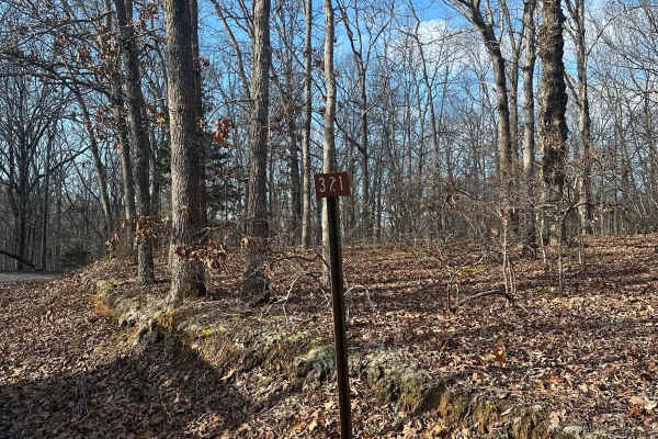
FSR - 321
Forest Service Road 321 is located in the northern half of Land Between the Lakes National Recreation Area off of Ironton Road - FSR 144. It is a dead-end road that is mostly gravel with a 1-2 foot deep creek crossing depending on recent weather, followed by a small incline. Leading up to the creek,...
Learn more about FSR - 321
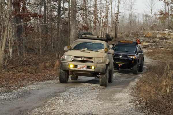
Stephens Chapel Road - FSR 415
Stephens Chapel Road--415 is an extremely historic route that navigates directly to one of the last original standing structures within Land Between the Lakes National Recreation Area. The Road is a mix of dirt and gravel and is somewhat maintained. The church remains despite the 2021 tornadoes rava...
Learn more about Stephens Chapel Road - FSR 415

FSR 119
Forest Service Road 119 is a semi-maintained dirt and gravel road that connects FSR 112 and FSR 117 within the Land Between the Lakes National Recreation Area. It is on the northern portion of the park in the area known as 'Tornado Valley' after two tornadoes hit the park in 2021. The road is easily...
Learn more about FSR 119
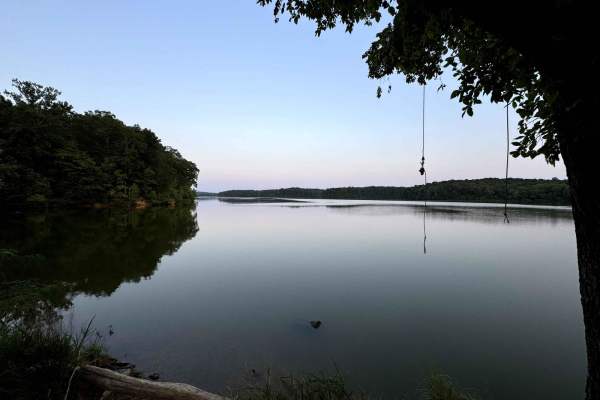
Lake Barkley Road
Lake Barkley Road takes you to a swimming spot with a little beach and a primitive Boat Ramp on Lake Barkley. The trail is a gravel forestry road with some soft sand spots that can turn into mud holes after heavy rain. This is usually a very easy road. The land between the Lakes is a 170,000-acre in...
Learn more about Lake Barkley Road
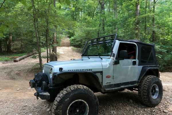
Rock Garden - 6 to C Road
The Rock Garden, or the 6 to C Road, is a steeper semi-maintained, gravel and dirt primary road. It connects point to point from the 6 intersection and goes uphill to the C intersection, ultimately to the Rock Garden inside the Turkey Bay OHV Area, within the Land Between the Lakes National Recreati...
Learn more about Rock Garden - 6 to C Road
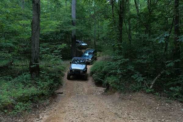
Mushroom Trail - 5 to C Shortcut
The Mushroom Trail, or 5 to C Shortcut, is a semi-maintained, gravel and dirt primary road, connecting road to road from the 6 to 5 Road to the Rock Garden - 6 to C Road in Turkey Bay OHV, within the Land Between the Lakes National Recreation Area. Its official ID is forestry M07. This is named the ...
Learn more about Mushroom Trail - 5 to C Shortcut
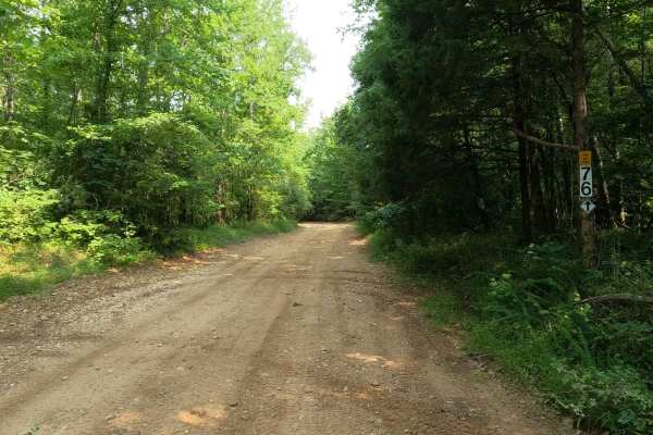
8 to 6 Road
The Turkey Bay 8 to 6 Road is a generally maintained primary gravel/creek bottom road connecting point to point from the 8 intersection, passing by the 7 intersection, and going to the 6 intersection inside the Turkey Bay OHV Area, within the Land Between the Lakes National Recreation Area. Its offi...
Learn more about 8 to 6 Road
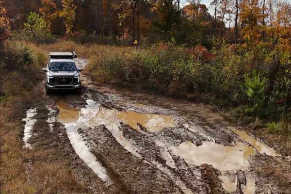
Brandon Chapel Overlook
Brandon Chapel Overlook is an old logging road that leads to a hilltop with a view of the Brandon Chapel area and Demumbers Bay, depending on the time of year. The road is rough in some spots, with deep ruts on the left as you ascend the hill. As you make it to the top of the hill, you will encounte...
Learn more about Brandon Chapel Overlook
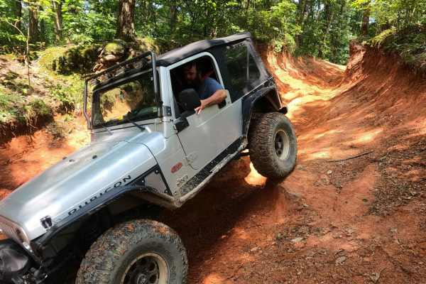
Silo Trail - 5 to B Road
The Silo Trail, or the 5 to B Road, is a natural dirt-based primary road, connecting point to point from the 5 intersection and going over several hills towards the B intersection and historic Silo in Turkey Bay OHV, within the Land Between the Lakes National Recreation Area. Its official ID is Fore...
Learn more about Silo Trail - 5 to B Road
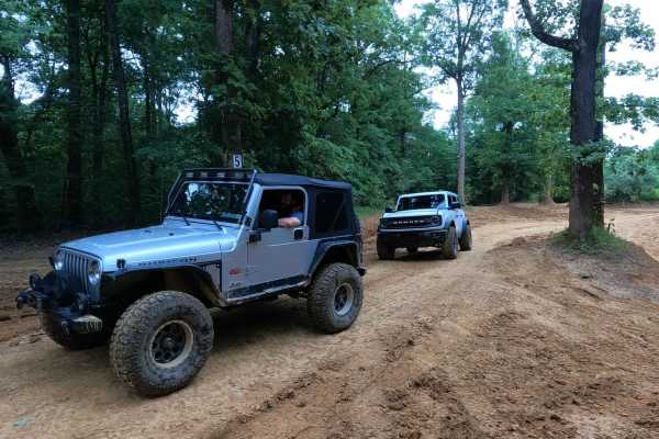
6 to 5 Road
The 6 to 5 Road is a semi-maintained, gravel and dirt primary road with natural tendencies, connecting point to point from the 6 intersection and going uphill to the 5 intersection in Turkey Bay OHV, within the Land Between the Lakes National Recreation Area. Its official ID is forestry M01. The roa...
Learn more about 6 to 5 Road
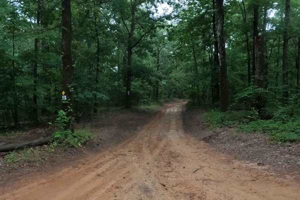
D to 5 Road
The Turkey Bay D to 5 Road is a generally maintained primary dirt road connecting point to point from the D intersection to 5 intersection inside the Turkey Bay OHV area, within the Land Between the Lakes National Recreation Area, this road is part of the official Forest route M02. This road leads t...
Learn more about D to 5 Road
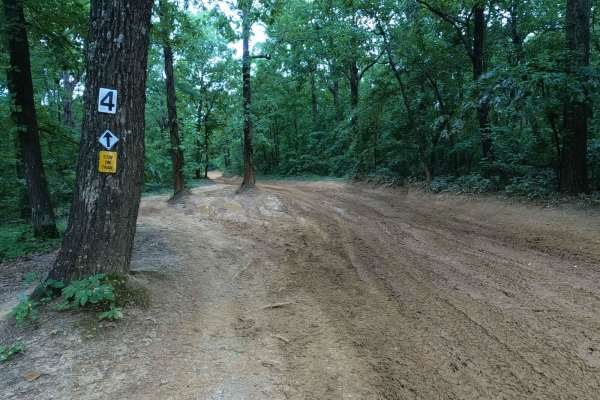
5 to 4 Road
The 5 to 4 Road is a semi-maintained, creek gravel and dirt primary road connecting point to point from the 5 intersection and going downhill to the 4 intersection in Turkey Bay OHV, within the Land Between the Lakes National Recreation Area. Its official ID is forestry M01. The road on its eastern ...
Learn more about 5 to 4 Road
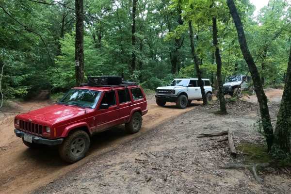
D to E Road
The Turkey Bay E to D Road is a generally maintained primary gravel/dirt road connecting point to point from the E intersection to the D intersection inside the Turkey Bay OHV area, within the Land Between the Lakes National Recreation Area, this road is part of the official Forest route M02. This r...
Learn more about D to E Road
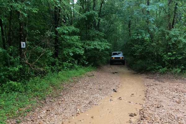
8 to E Road
The Turkey Bay 8 to E Road is a generally maintained primary gravel/dirt road connecting point to point from the 8 intersection to E intersection inside the Turkey Bay OHV area, within the Land Between the Lakes National Recreation Area, this road's official Forest ID is the M06. The road begins on ...
Learn more about 8 to E Road
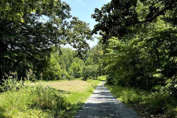
Fords Bay Road
Fords Bay Road connects the main road (Woodlands Trace National Scenic Byway) with CR 165 and CR 347 which takes you to Fords Bay on Lake Barkley. The trail is a gravel forestry road with some soft sand spots that can turn into mud holes after heavy rain. Usually, this is a very easy road. The land ...
Learn more about Fords Bay Road
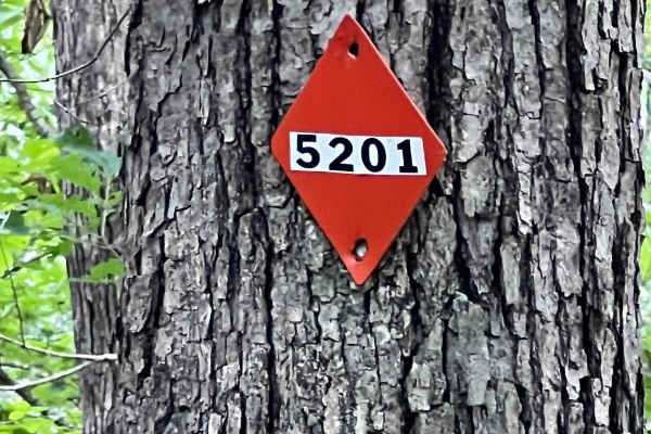
Turkey Bay OVH 5201 D to 5 Side
This is one of many side trails branching off the D to 5 Road. It's a two-way trail with several washout areas and numerous mud holes, though all had solid bases and were easy to traverse. Currently, the trail is blocked by a large fallen tree with no available bypass, making it an out-and-back rout...
Learn more about Turkey Bay OVH 5201 D to 5 Side
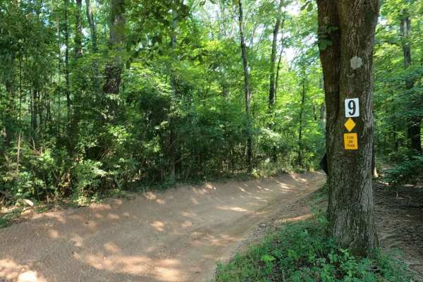
9 to 8 Road
The Turkey Bay 9 to 8 Road is a generally maintained primary gravel/creek bottom road, connecting point to point from the 9 intersection to the 8 intersection inside the Turkey Bay OHV Area, within the Land Between the Lakes National Recreation Area. Its official ID is forestry M01. The road starts ...
Learn more about 9 to 8 Road
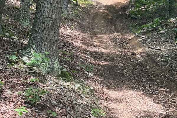
Turkey Bay OVH 5203 and 5208
This is one of many side trails branching off the 5 to 4 Road. It's a two-way trail with several washout areas and numerous mud holes, though all had solid bases and were easy to traverse. When traveling north on this trail, you'll encounter a sizable uphill climb that can become very slick during w...
Learn more about Turkey Bay OVH 5203 and 5208
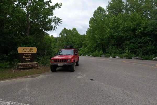
Turkey Bay Gate FSR 167
Turkey Bay Gate FSR 167 is the paved entry to gravel main hub and parking section of the Turkey Bay OHV Area, within the Land Between the Lakes National Recreation Area. At the entry you pass the picture worthy Turkey Bay OHV forestry sign, which shortly leads you to the sign in and fee gate house. ...
Learn more about Turkey Bay Gate FSR 167
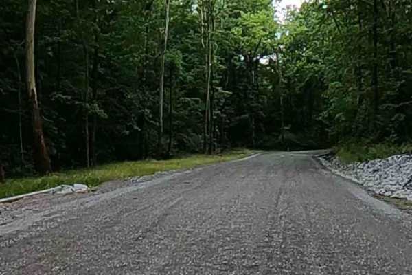
Turkey Creek Road FSR 167
The Turkey Creek Road FSR 167, is the Gravel main hub road and parking section along the southern boundary of the Turkey Bay OHV Area, within the Land Between the Lakes National Recreation Area. The road features generally easy-riding gravel for the first 3/4 of its length, crossing a few mild low w...
Learn more about Turkey Creek Road FSR 167
ATV trails near Cerulean, Kentucky
Explore ATV-friendly trails near you. These trails are accessible for vehicles up to 50 inches wide, perfect for ATVs and smaller off-road machines.
FSR - 321
Forest Service Road 321 is located in the northern half of Land Between the Lakes National Recreation Area off of Ironton Road - FSR 144. It is a dead-end road that is mostly gravel with a 1-2 foot deep creek crossing depending on recent weather, followed by a small incline. Leading up to the creek,...
Learn more about FSR - 321
Stephens Chapel Road - FSR 415
Stephens Chapel Road--415 is an extremely historic route that navigates directly to one of the last original standing structures within Land Between the Lakes National Recreation Area. The Road is a mix of dirt and gravel and is somewhat maintained. The church remains despite the 2021 tornadoes rava...
Learn more about Stephens Chapel Road - FSR 415
FSR 119
Forest Service Road 119 is a semi-maintained dirt and gravel road that connects FSR 112 and FSR 117 within the Land Between the Lakes National Recreation Area. It is on the northern portion of the park in the area known as 'Tornado Valley' after two tornadoes hit the park in 2021. The road is easily...
Learn more about FSR 119
Lake Barkley Road
Lake Barkley Road takes you to a swimming spot with a little beach and a primitive Boat Ramp on Lake Barkley. The trail is a gravel forestry road with some soft sand spots that can turn into mud holes after heavy rain. This is usually a very easy road. The land between the Lakes is a 170,000-acre in...
Learn more about Lake Barkley Road
UTV/side-by-side trails near Cerulean, Kentucky
Find UTV and side-by-side trails near you. These trails accommodate vehicles up to 60 inches wide, ideal for UTVs, side-by-sides, and wider off-road rigs.
FSR - 321
Forest Service Road 321 is located in the northern half of Land Between the Lakes National Recreation Area off of Ironton Road - FSR 144. It is a dead-end road that is mostly gravel with a 1-2 foot deep creek crossing depending on recent weather, followed by a small incline. Leading up to the creek,...
Learn more about FSR - 321
Stephens Chapel Road - FSR 415
Stephens Chapel Road--415 is an extremely historic route that navigates directly to one of the last original standing structures within Land Between the Lakes National Recreation Area. The Road is a mix of dirt and gravel and is somewhat maintained. The church remains despite the 2021 tornadoes rava...
Learn more about Stephens Chapel Road - FSR 415
FSR 119
Forest Service Road 119 is a semi-maintained dirt and gravel road that connects FSR 112 and FSR 117 within the Land Between the Lakes National Recreation Area. It is on the northern portion of the park in the area known as 'Tornado Valley' after two tornadoes hit the park in 2021. The road is easily...
Learn more about FSR 119
Lake Barkley Road
Lake Barkley Road takes you to a swimming spot with a little beach and a primitive Boat Ramp on Lake Barkley. The trail is a gravel forestry road with some soft sand spots that can turn into mud holes after heavy rain. This is usually a very easy road. The land between the Lakes is a 170,000-acre in...
Learn more about Lake Barkley Road
The onX Offroad Difference
onX Offroad combines trail photos, descriptions, difficulty ratings, width restrictions, seasonality, and more in a user-friendly interface. Available on all devices, with offline access and full compatibility with CarPlay and Android Auto. Discover what you're missing today!
Open Trail Map