
Dirt Bike Trails
Near Breaks, Virginia
Explore All Dirt Bike Trails Near Breaks, Virginia
Dirt Bike Trails Near Breaks, Virginia
Discover the best dirt bike trails near you. Browse trail maps, check difficulty ratings, and find your next adventure — whether you're looking for a quick ride or an all-day expedition.
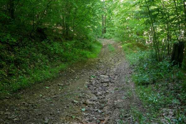
RV47
RV47 is a moderately easy trail just over 0.9 miles long, offering a mix of gradual and steeper grades as it descends a hillside on a shelf-like path cut through dense woods. The trail surface includes loose rock, light ruts, and grassy, overgrown sections. Wet conditions can make it slick and more ...
Learn more about RV47
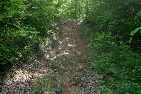
RV69
RV69 is a lightly trafficked, quarter-mile trail that is faint and overgrown, with an entrance on the east end that is easy to miss. It passes through dense woods with a decaying leaf layer and several puddles. The trail features a steeper, rockier, and rutted descent from east to west that includes...
Learn more about RV69
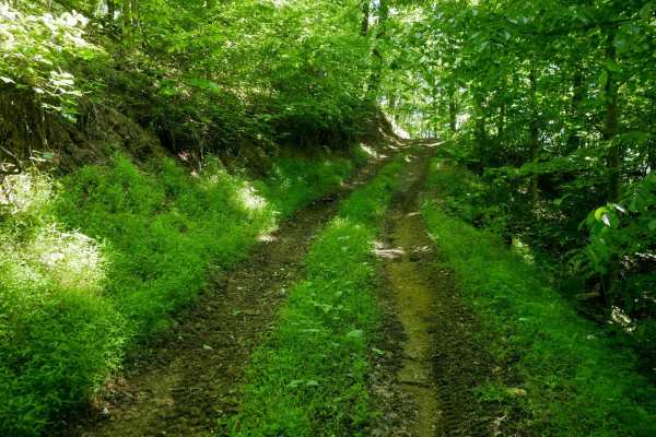
RV45
RV45 is a 0.6-mile trail connecting RV15 and RV1, following a wide path through a mix of open meadows and dense forest. The trail features numerous muddy puddles and is deeply rutted in spots, particularly during a long, steep climb up to a ridge. It continues along a shelf-like section cut into the...
Learn more about RV45
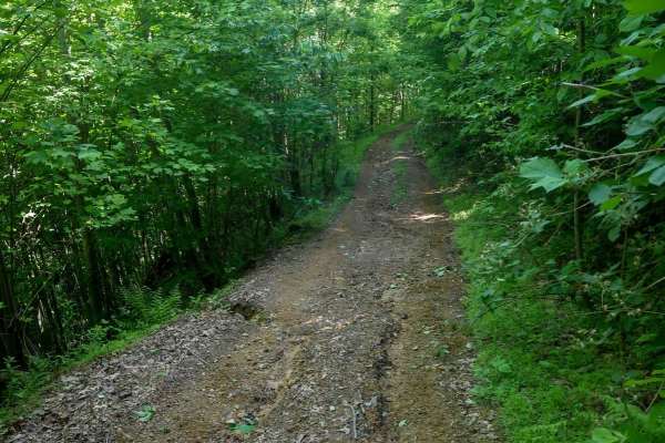
RV43
RV43 is a narrow, shelf-like trail that follows a curve around a hillside before climbing a ridge with deep ruts on a steep ascent. The trail surface includes ruts and small loose rock, with a leaf layer that can make traction difficult and conditions slick. The descent is equally steep and rutted b...
Learn more about RV43
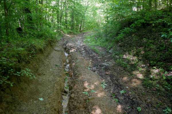
RV67
RV67 is a moderately difficult trail that climbs steeply through dense forest, featuring deep ruts, big puddles, and numerous loose rocks. The trail includes large dips and deeply rutted sections on both sides that become especially challenging in wet conditions. The north end has a technical climb ...
Learn more about RV67
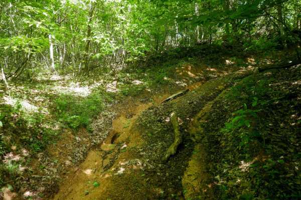
RV65
RV65 is a short but intermediate connector trail under 200 yards long that climbs steeply from RV33. The surface consists of loose rock and decaying leaf matter, creating slick conditions, especially when wet. Deep ruts, exposed roots, and occasional downed branches add to the difficulty. Despite it...
Learn more about RV65
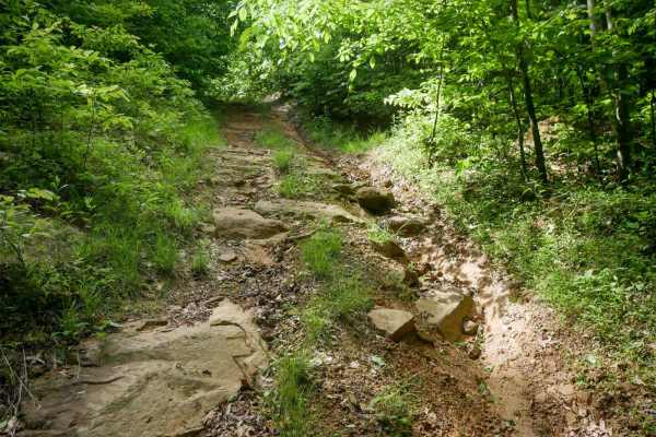
RV63
RV63 is a moderately difficult trail under half a mile long that follows a ridgeline through dense forest. The trail is overgrown with grass and features loose rocks, slick mud, and a thick layer of decomposing leaves. A steep downhill grade with pronounced ruts challenges traction, and embedded roc...
Learn more about RV63
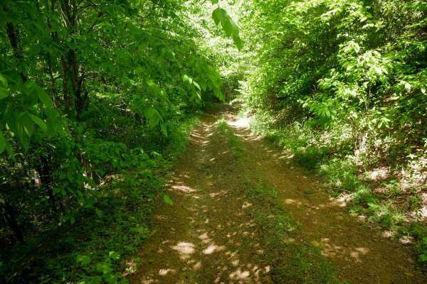
RV57
RV57 is a 0.8-mile trail that connects RV1 to RV33, following a shelf-like path cut into the hillside. The trail is overgrown in places with low-hanging branches and includes a few tight hairpin corners. Drivers will encounter steeper climbing sections, loose rock, and deeper ruts near the top as th...
Learn more about RV57
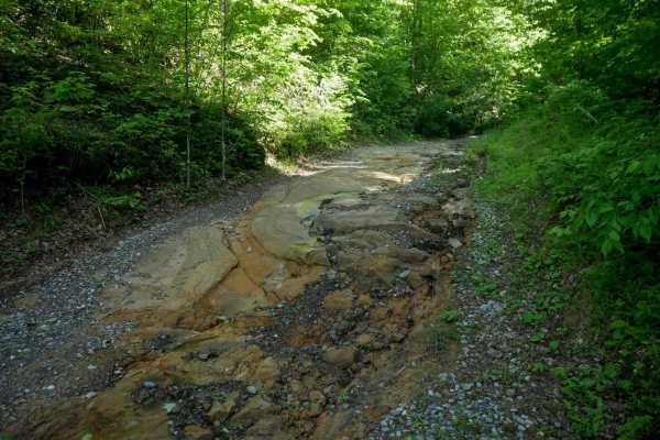
RV13
RV13 begins at the south end as a wide, easy trail with a gradual gravelly surface and small loose rock. It runs along the forest floor beside a ravine, following a shelf-like path cut into the hillside through dense woods. As the trail climbs, it becomes steeper with deeper ruts and increased rock ...
Learn more about RV13
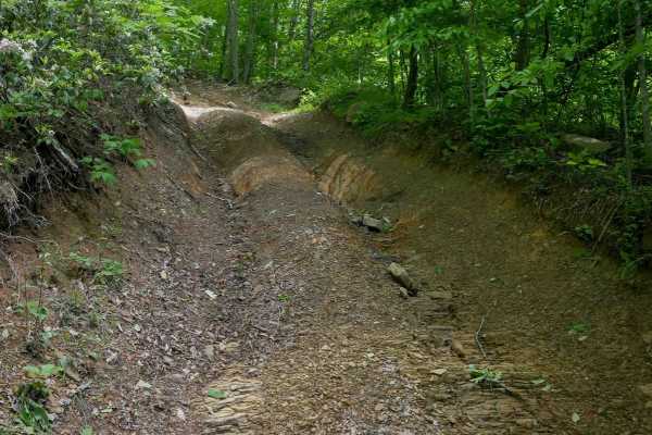
RV33
RV33 begins on the east end along the forest floor next to a ravine, with tight hairpin turns and a steep, rutted climb straight up the hillside. Near the top, drivers will encounter embedded rock surfaces that add technical challenge. Continuing west, the trail becomes more gradual, following a she...
Learn more about RV33
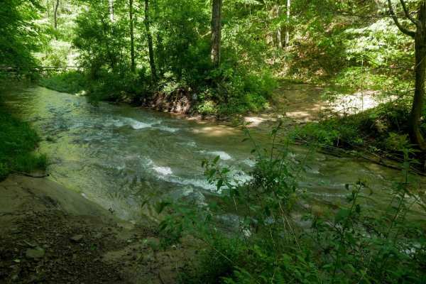
RV9
RV9 is a roughly 3-mile trail running from RV1 on the south end to RV33 on the north. It features technical climbs and descents with loose rock, ruts, and water runoff, as well as larger embedded rock layers forming small obstacles under a foot tall. A major highlight--and challenge--is the crossing...
Learn more about RV9
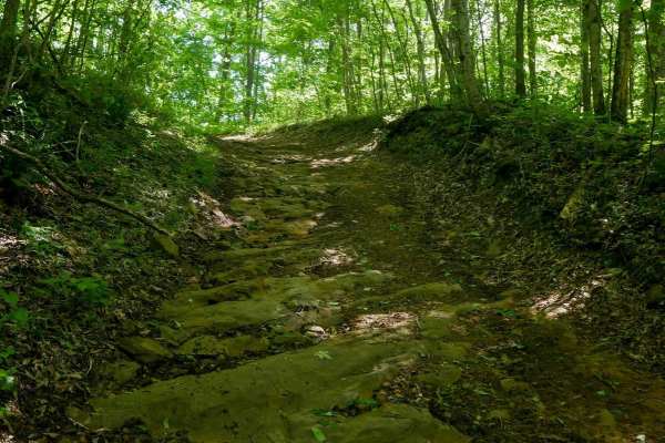
RV37
RV37 is a moderately difficult trail that climbs steeply along a shelf-like path through dense forest to a ridge on the mountain top. The trail surface features big loose round cobble, light ruts, and uneven embedded rock layers that create small ledges. A thick layer of leaves combined with continu...
Learn more about RV37
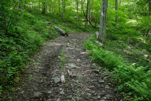
RV49
The first half of RV49, when driven counterclockwise, is a wide and gravelly route with loose rock and ruts, following a flat, gradual grade to a maintained oil and gas site. The second half transitions into a more primitive trail through denser woods, featuring deep mud puddles, slick sections, and...
Learn more about RV49
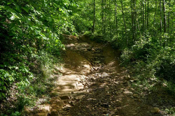
RV25
RV25 is a 4.5-mile route that winds extensively through the Ridge View trail system, curving around mountain slopes and offering a longer, more varied alternative to RV1. The trail is deeply rutted in places and features embedded rock layers that create small natural drop-offs. Drivers will encounte...
Learn more about RV25
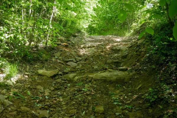
RV35
RV35 is a narrow, shelf-like trail that runs along the edge of a mountainside, offering moderate difficulty due to its surface conditions and steep grades. The trail is overgrown in places and includes puddles, slick water-covered sections, and deep ruts. Rocky areas feature both embedded layers of ...
Learn more about RV35
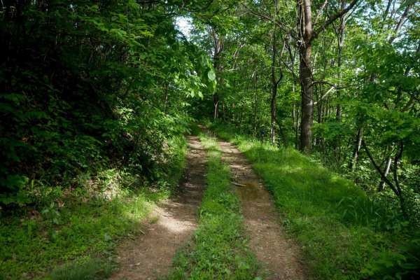
RV39
RV39 is a short, quarter-mile connector trail that links two segments of RV31. It runs along a hillside through dense woods, with low leafy branches occasionally hanging into the track. Drivers should watch for sticks, puddles, and slick conditions, especially after rain. Despite some light ruts and...
Learn more about RV39
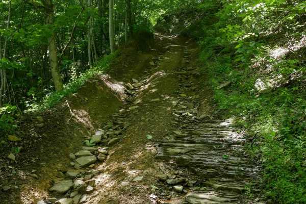
CC501
CC501 is a moderately challenging trail featuring steep, rutted climbs over chunky embedded rock layers and loose rock. The trail is deeply eroded in places, forming a trough-like path with deep ruts on each side that create an off-camber feel. After the initial climb, it transitions to a wider, mor...
Learn more about CC501
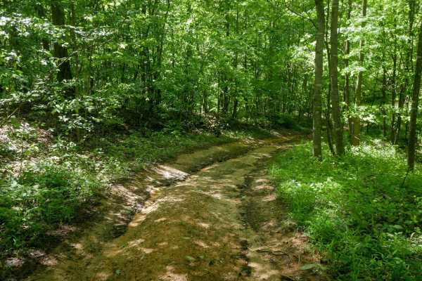
CC65
CC65 is a short, easy connector trail running from CC501 to CC101 along a ridgeline in dense woods. The terrain includes a slick leaf layer, light ruts, and small loose rocks, but remains gradual throughout. With no significant obstacles, CC65 offers a smooth and simple link between the two main tra...
Learn more about CC65
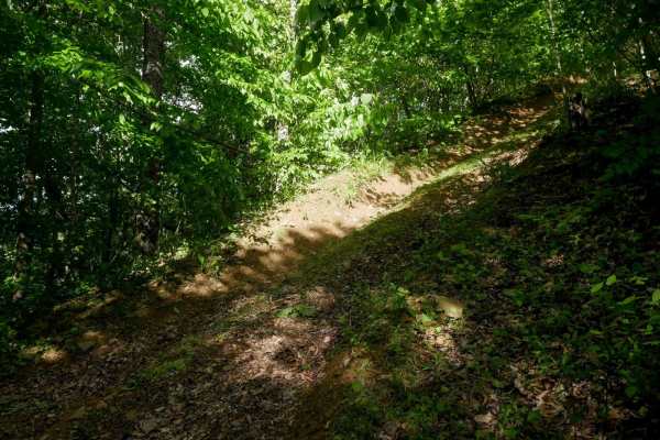
RV51
RV51 begins at RV21 and features a very steep hill climb from north to south. The climb is slightly rutted and covered with a slick layer of decomposing leaves, which can make traction difficult. At the top, the trail transitions to a flat, grassy, shelfy path that appears lightly used, as if many r...
Learn more about RV51
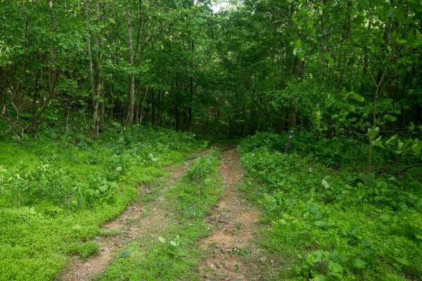
RV29
RV29 is a short, grassy connector trail through dense woods between trails RV53 and RV21. It features a semi-steep climb followed by a gradual descent. While the descent has slight ruts, the trail is not rocky, making it easy overall despite the elevation change. It's suitable for most skill levels.
Learn more about RV29
ATV trails near Breaks, Virginia
Explore ATV-friendly trails near you. These trails are accessible for vehicles up to 50 inches wide, perfect for ATVs and smaller off-road machines.
RV47
RV47 is a moderately easy trail just over 0.9 miles long, offering a mix of gradual and steeper grades as it descends a hillside on a shelf-like path cut through dense woods. The trail surface includes loose rock, light ruts, and grassy, overgrown sections. Wet conditions can make it slick and more ...
Learn more about RV47
RV69
RV69 is a lightly trafficked, quarter-mile trail that is faint and overgrown, with an entrance on the east end that is easy to miss. It passes through dense woods with a decaying leaf layer and several puddles. The trail features a steeper, rockier, and rutted descent from east to west that includes...
Learn more about RV69
RV45
RV45 is a 0.6-mile trail connecting RV15 and RV1, following a wide path through a mix of open meadows and dense forest. The trail features numerous muddy puddles and is deeply rutted in spots, particularly during a long, steep climb up to a ridge. It continues along a shelf-like section cut into the...
Learn more about RV45
RV43
RV43 is a narrow, shelf-like trail that follows a curve around a hillside before climbing a ridge with deep ruts on a steep ascent. The trail surface includes ruts and small loose rock, with a leaf layer that can make traction difficult and conditions slick. The descent is equally steep and rutted b...
Learn more about RV43
UTV/side-by-side trails near Breaks, Virginia
Find UTV and side-by-side trails near you. These trails accommodate vehicles up to 60 inches wide, ideal for UTVs, side-by-sides, and wider off-road rigs.
RV47
RV47 is a moderately easy trail just over 0.9 miles long, offering a mix of gradual and steeper grades as it descends a hillside on a shelf-like path cut through dense woods. The trail surface includes loose rock, light ruts, and grassy, overgrown sections. Wet conditions can make it slick and more ...
Learn more about RV47
RV69
RV69 is a lightly trafficked, quarter-mile trail that is faint and overgrown, with an entrance on the east end that is easy to miss. It passes through dense woods with a decaying leaf layer and several puddles. The trail features a steeper, rockier, and rutted descent from east to west that includes...
Learn more about RV69
RV45
RV45 is a 0.6-mile trail connecting RV15 and RV1, following a wide path through a mix of open meadows and dense forest. The trail features numerous muddy puddles and is deeply rutted in spots, particularly during a long, steep climb up to a ridge. It continues along a shelf-like section cut into the...
Learn more about RV45
RV43
RV43 is a narrow, shelf-like trail that follows a curve around a hillside before climbing a ridge with deep ruts on a steep ascent. The trail surface includes ruts and small loose rock, with a leaf layer that can make traction difficult and conditions slick. The descent is equally steep and rutted b...
Learn more about RV43
The onX Offroad Difference
onX Offroad combines trail photos, descriptions, difficulty ratings, width restrictions, seasonality, and more in a user-friendly interface. Available on all devices, with offline access and full compatibility with CarPlay and Android Auto. Discover what you're missing today!
Open Trail Map