
Dirt Bike Trails
Near Black Rock, New Mexico
Explore All Dirt Bike Trails Near Black Rock, New Mexico
Dirt Bike Trails Near Black Rock, New Mexico
Discover the best dirt bike trails near you. Browse trail maps, check difficulty ratings, and find your next adventure — whether you're looking for a quick ride or an all-day expedition.
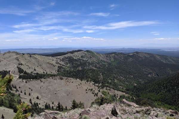
Mt. Taylor Peak 4x4 Road
This 4x4 road is a great intro to overlanding, with stunning views and minimal technical obstacles. Starting from Grants, the road climbs almost 5000 feet to within 1/2 mile of Mt. Taylor peak. The road starts off as graded gravel, giving way to a more primitive dirt road, which is easily passable i...
Learn more about Mt. Taylor Peak 4x4 Road
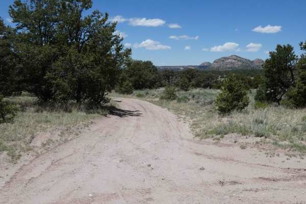
Lone Mountain FS312
Lone Mountain is a spur that leads to the foothills of Lone Mountain and Castle Dome just to the west of the Sawtooth trail. The trail is primarily soft dirt and sand that will be extremely muddy after rain or snow melt. The road is primarily single-vehicle wide with room to pass in areas where open...
Learn more about Lone Mountain FS312
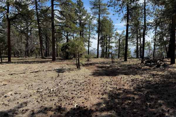
Top Tank Trail #5
This is a 3-mile-long ATV trail through the Gila National Forest. The west entrance is marked as Trail #5, but does not specify the width designation, so it looks like this trail gets inadvertently used by wider vehicles. The beginning is wide and graded, smooth and maintained. It narrows up from th...
Learn more about Top Tank Trail #5
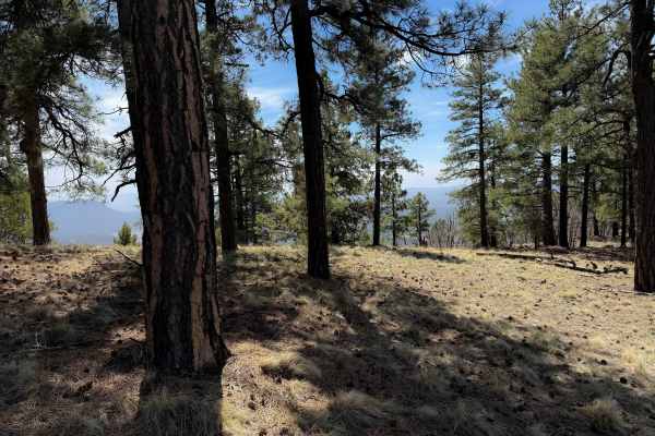
Gallo Peak Trail #6
Gallo Peak spurs off of Top Tank Trail and goes south for 1.4 miles. It is generally a wide path through a dry and sparse pine forest, often covered in scattered loose rocks. It goes through a fence and traverses up a hill towards a view overlooking the mountains at a flat spot that could be used as...
Learn more about Gallo Peak Trail #6
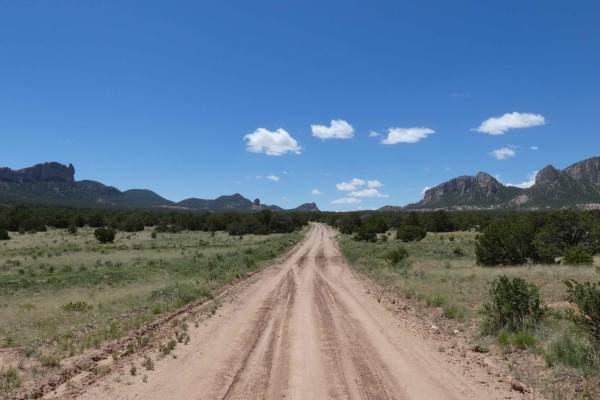
Sawtooth FS6A
Sawtooth is located at the most western portion of the Datil Mountain range in Cibola National Forest and will be easily driven by most vehicles including passenger cars. The road is very well maintained with minor rutting being the only obstacles. The road is wide enough for two vehicles and is pri...
Learn more about Sawtooth FS6A
ATV trails near Black Rock, New Mexico
Explore ATV-friendly trails near you. These trails are accessible for vehicles up to 50 inches wide, perfect for ATVs and smaller off-road machines.
Mt. Taylor Peak 4x4 Road
This 4x4 road is a great intro to overlanding, with stunning views and minimal technical obstacles. Starting from Grants, the road climbs almost 5000 feet to within 1/2 mile of Mt. Taylor peak. The road starts off as graded gravel, giving way to a more primitive dirt road, which is easily passable i...
Learn more about Mt. Taylor Peak 4x4 Road
Lone Mountain FS312
Lone Mountain is a spur that leads to the foothills of Lone Mountain and Castle Dome just to the west of the Sawtooth trail. The trail is primarily soft dirt and sand that will be extremely muddy after rain or snow melt. The road is primarily single-vehicle wide with room to pass in areas where open...
Learn more about Lone Mountain FS312
Top Tank Trail #5
This is a 3-mile-long ATV trail through the Gila National Forest. The west entrance is marked as Trail #5, but does not specify the width designation, so it looks like this trail gets inadvertently used by wider vehicles. The beginning is wide and graded, smooth and maintained. It narrows up from th...
Learn more about Top Tank Trail #5
Gallo Peak Trail #6
Gallo Peak spurs off of Top Tank Trail and goes south for 1.4 miles. It is generally a wide path through a dry and sparse pine forest, often covered in scattered loose rocks. It goes through a fence and traverses up a hill towards a view overlooking the mountains at a flat spot that could be used as...
Learn more about Gallo Peak Trail #6
UTV/side-by-side trails near Black Rock, New Mexico
Find UTV and side-by-side trails near you. These trails accommodate vehicles up to 60 inches wide, ideal for UTVs, side-by-sides, and wider off-road rigs.
Mt. Taylor Peak 4x4 Road
This 4x4 road is a great intro to overlanding, with stunning views and minimal technical obstacles. Starting from Grants, the road climbs almost 5000 feet to within 1/2 mile of Mt. Taylor peak. The road starts off as graded gravel, giving way to a more primitive dirt road, which is easily passable i...
Learn more about Mt. Taylor Peak 4x4 Road
Lone Mountain FS312
Lone Mountain is a spur that leads to the foothills of Lone Mountain and Castle Dome just to the west of the Sawtooth trail. The trail is primarily soft dirt and sand that will be extremely muddy after rain or snow melt. The road is primarily single-vehicle wide with room to pass in areas where open...
Learn more about Lone Mountain FS312
Sawtooth FS6A
Sawtooth is located at the most western portion of the Datil Mountain range in Cibola National Forest and will be easily driven by most vehicles including passenger cars. The road is very well maintained with minor rutting being the only obstacles. The road is wide enough for two vehicles and is pri...
Learn more about Sawtooth FS6A
The onX Offroad Difference
onX Offroad combines trail photos, descriptions, difficulty ratings, width restrictions, seasonality, and more in a user-friendly interface. Available on all devices, with offline access and full compatibility with CarPlay and Android Auto. Discover what you're missing today!
Open Trail Map