
Dirt Bike Trails
Near Alcoa, Tennessee
Explore All Dirt Bike Trails Near Alcoa, Tennessee
Dirt Bike Trails Near Alcoa, Tennessee
Discover the best dirt bike trails near you. Browse trail maps, check difficulty ratings, and find your next adventure — whether you're looking for a quick ride or an all-day expedition.
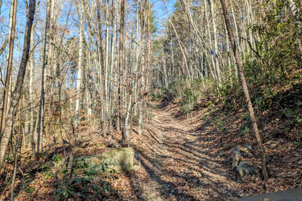
Walden's Ridge Bypass Trail 75a
This trail runs right next to Walden's Ridge and only bypasses the ridge portion of the whole trail. It does meet up with 75 (Walden's Ridge) and ends at 75. This trail has small to medium rocks to climb, winds in and out of trees, and up and down the hillside. Quite often the vehicle is leaning sid...
Learn more about Walden's Ridge Bypass Trail 75a
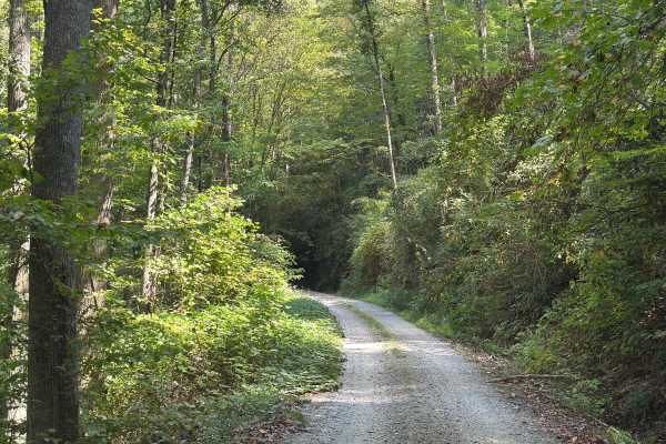
Slickrock Road
Slickrock Road is a gravel route that winds through the Nantahala National Forest. It is primarily one vehicle wide, though there are plenty of areas with room to pass. The road begins at Tapoco Road at an elevation of 1,277 feet and climbs to 3,062 feet over the course of seven miles. At the summit...
Learn more about Slickrock Road
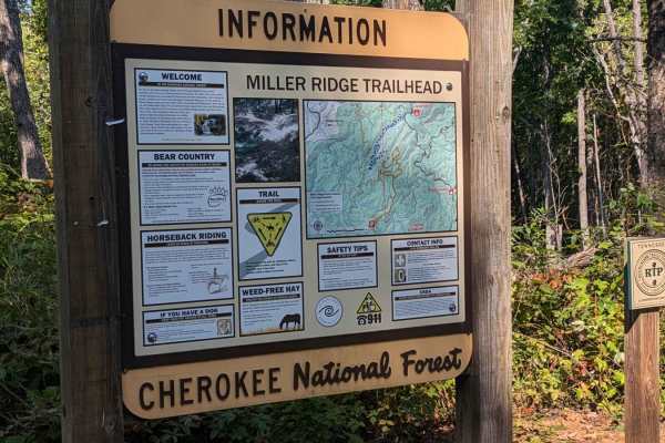
Bark Camp- Lost Cove- Miller's Ridge
This is a super easy two-track seasonal trail. This trail is only open from 10-1 to 12-18. Double-check the rules for this trail with Tellico Ranger District. It was open today with some off-shoots open as well. We didn't encounter any challenges really. The hunters run this trail both ways so be mi...
Learn more about Bark Camp- Lost Cove- Miller's Ridge

Campground Connector
Campground Connector is a fun way of getting from Windrock Park's Campground to the general store on P1. Make the most of your time winding through the woods. This trail also requires a land use permit, so if you're just camping, then you would not be allowed to take this route. Be advised that it c...
Learn more about Campground Connector
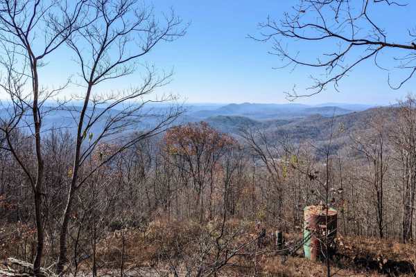
Trail 2
The trail is visibly marked and crosses paths with many other trails--a really nice slow climb winding up the small mountain. There are small to moderate mud holes, rocks 6-12 inches in size, and a couple of small rock ledges. There are harder and easier lines on the ledges. The views are amazing!
Learn more about Trail 2
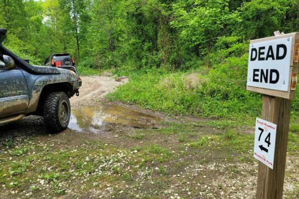
74 - Middle Ridge
Trail 74 - Middle Ridge winds through to complete Trail G67 to exit you out of the park or bring you in for an adventure from HWY 116. This easy "Blue" trail, as Windrock Park identifies it, is spot on, as washouts and ruts could cause problems for those with low ground clearance but is no harder th...
Learn more about 74 - Middle Ridge
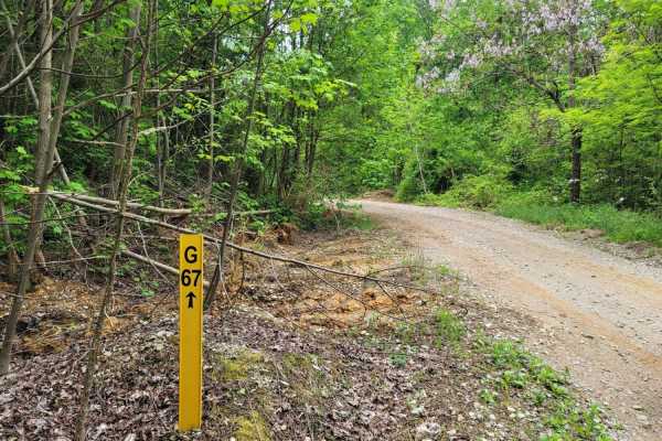
G67 - Brown Flats
Easy traveling is G67. This trail is the epitome of a stroll in the park with its smooth gravel roads with intermittent mud puddles to make the most basic rides feel like a scenic adventure. There may be some standing water that is scarier than it looks, boasting width, but is majorly lacking in dep...
Learn more about G67 - Brown Flats
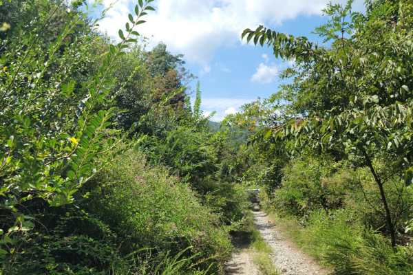
G31 - Pinstripe Alley
Trail G31 - Pinstripe Alley almost explains itself. If you are worried about your paint, this would not be a good trail to take. The spring time brings extra growth with the vegetation gravitating to water. It is full of thorns, thistles and bushes. While the hedges can be a deterrent, it does allow...
Learn more about G31 - Pinstripe Alley
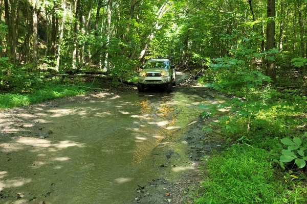
73 - Harness Creek
Trail 73 - Harness Creek begins at the end of Trail G31. This easy blue trail according to the Windrock Park map is a short, shady section that will cool you off on a hot summer day. Much of the creek can overflow and make this trail resemble riding a creek bed. One small section will have a short s...
Learn more about 73 - Harness Creek
33 - Bead Buster
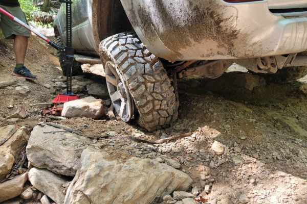
Trail 33 - Bead Buster is a subtle trail that can catch you off guard. Even during dry weather, this off-camber trail would be considered an easy "Blue" trail by the Windrock Park Map, however, when wet could be a menace. The trail terraces on the mountainside offer great high-ground views. Make sur...
Learn more about 33 - Bead Buster
Trail P1
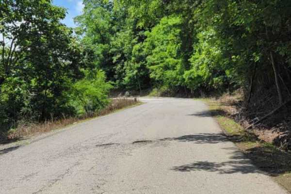
P1 is one of the main trail access roads from the General Store Parking lot. As you go up the mountain, be cautious of oncoming traffic. Several areas of the paved road have deteriorated over time. Most places coming down the mountain have no shoulder, or the roadway has given way. On the right side...
Learn more about Trail P1
Windrock P1/G1
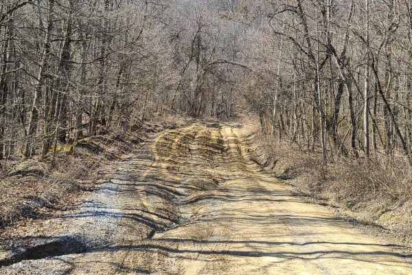
This is a great beginner's trail. It is about half gravel or pavement, with compacted dirt being the remaining bit. There are numerous large shallow puddles that pose no flood threat to any off-road vehicle. There are a few moderate obstacles that may require slow navigation, but the trail is wide e...
Learn more about Windrock P1/G1
11- Pilot Mountain
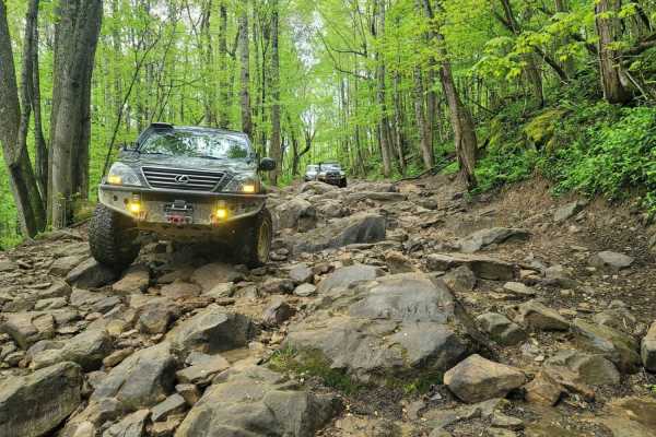
This trail favorite displays what Windrock park is, was, and will be. Trail 11 encompasses Pilot mountain along with all of its wildlife, mini waterfalls, and great riding. It starts at the north end of G1 where it intersects Hwy 116 which is great for those that want to get to the trail as fast fro...
Learn more about 11- Pilot Mountain
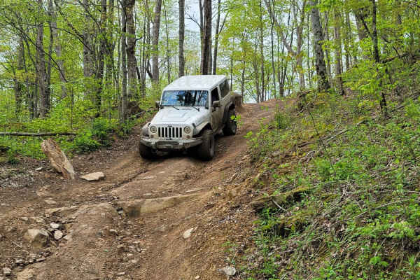
8 - Humpback
Take a stroll in the park! This deceiving trail scampers across the southeast section of Pilot Mountain. While it may be a scenic drive when dry, when the rain comes, it will surely be slick. Windrock Park considers this trail a "blue" trail meaning moderate difficulty, and in wet conditions, it wil...
Learn more about 8 - Humpback
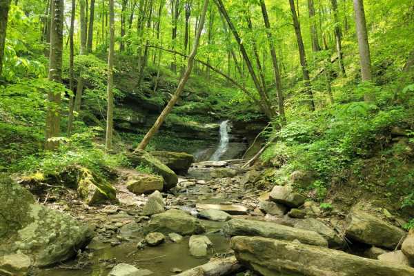
16 - Mud Suck Creek
Trail 16 screams adventure, with it being a Jeep Badge of Honor Trail. For full-size rigs, this trail can take all day long or just a few hours, depending on how hard you want to hit it. For the side-by-side, it can be completed much faster, but expect wait times with this popular trail. The complet...
Learn more about 16 - Mud Suck Creek
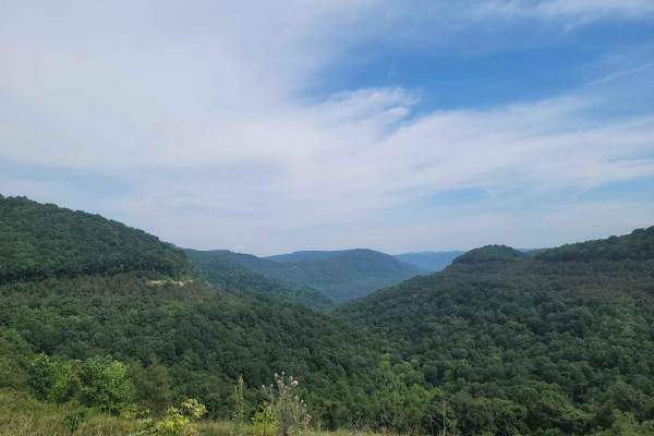
G9 - Peachtree Gap
Trail G9 is a loose rock gravel trail with mild mudholes spread out through it. Trail G9 does not show up on the park map as it is a newly added trail. Per park staff, this trail was added due to needed a faster access route to the north end of the park since G1 has become increasingly difficult. It...
Learn more about G9 - Peachtree Gap
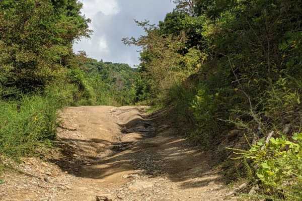
50
This trail is a mild trail. Dirt or rocky base. Driver may encounter shallow water crossings and obstacles under 12". The trail is generally wide enough for one vehicle and narrows in a few places. This trail doesn't have much change in elevation. It's a great trail for someone looking to get off th...
Learn more about 50
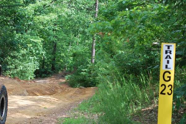
Trail G23 Windrock Park
Trail 23 will offer a pleasant and easy off-road experience for off-roaders of all skill levels. Nestled off of the long Trail 22 in Windrock Park, this trail provides a refreshing escape into nature without demanding advanced technical skills or equipment which takes you down to Indian Creek and Al...
Learn more about Trail G23 Windrock Park
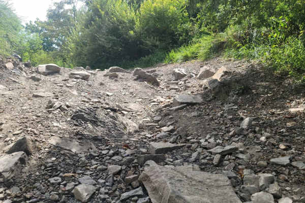
Trail 34 - Sugar Tree Gap
Trail 34 - Sugar Tree Gap can get confusing based on the park's map or even the trail markers. Trail 34 runs into Trail G34. There is no mistaking the trail you are on, once you see the terrain change. Trail 34 is full of muddy lanes that SXS will race through and gives the rider multiple options on...
Learn more about Trail 34 - Sugar Tree Gap
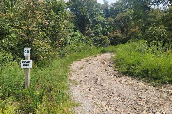
G16 - Sassafras Mountain
G19 - Sassafras Mountain is another getaway spot to relax for lunch and breath in the fresh air. This dead-end trail features loose gravel and two small ruts. One of the ruts is possible to get hung up on a medium-sized rock if your vehicle doesn't have ground clearance. Overall, G16 is a very relax...
Learn more about G16 - Sassafras Mountain
ATV trails near Alcoa, Tennessee
Explore ATV-friendly trails near you. These trails are accessible for vehicles up to 50 inches wide, perfect for ATVs and smaller off-road machines.
Walden's Ridge Bypass Trail 75a
This trail runs right next to Walden's Ridge and only bypasses the ridge portion of the whole trail. It does meet up with 75 (Walden's Ridge) and ends at 75. This trail has small to medium rocks to climb, winds in and out of trees, and up and down the hillside. Quite often the vehicle is leaning sid...
Learn more about Walden's Ridge Bypass Trail 75a
Slickrock Road
Slickrock Road is a gravel route that winds through the Nantahala National Forest. It is primarily one vehicle wide, though there are plenty of areas with room to pass. The road begins at Tapoco Road at an elevation of 1,277 feet and climbs to 3,062 feet over the course of seven miles. At the summit...
Learn more about Slickrock Road
Bark Camp- Lost Cove- Miller's Ridge
This is a super easy two-track seasonal trail. This trail is only open from 10-1 to 12-18. Double-check the rules for this trail with Tellico Ranger District. It was open today with some off-shoots open as well. We didn't encounter any challenges really. The hunters run this trail both ways so be mi...
Learn more about Bark Camp- Lost Cove- Miller's Ridge
Campground Connector
Campground Connector is a fun way of getting from Windrock Park's Campground to the general store on P1. Make the most of your time winding through the woods. This trail also requires a land use permit, so if you're just camping, then you would not be allowed to take this route. Be advised that it c...
Learn more about Campground Connector
UTV/side-by-side trails near Alcoa, Tennessee
Find UTV and side-by-side trails near you. These trails accommodate vehicles up to 60 inches wide, ideal for UTVs, side-by-sides, and wider off-road rigs.
Walden's Ridge Bypass Trail 75a
This trail runs right next to Walden's Ridge and only bypasses the ridge portion of the whole trail. It does meet up with 75 (Walden's Ridge) and ends at 75. This trail has small to medium rocks to climb, winds in and out of trees, and up and down the hillside. Quite often the vehicle is leaning sid...
Learn more about Walden's Ridge Bypass Trail 75a
Slickrock Road
Slickrock Road is a gravel route that winds through the Nantahala National Forest. It is primarily one vehicle wide, though there are plenty of areas with room to pass. The road begins at Tapoco Road at an elevation of 1,277 feet and climbs to 3,062 feet over the course of seven miles. At the summit...
Learn more about Slickrock Road
Bark Camp- Lost Cove- Miller's Ridge
This is a super easy two-track seasonal trail. This trail is only open from 10-1 to 12-18. Double-check the rules for this trail with Tellico Ranger District. It was open today with some off-shoots open as well. We didn't encounter any challenges really. The hunters run this trail both ways so be mi...
Learn more about Bark Camp- Lost Cove- Miller's Ridge
Campground Connector
Campground Connector is a fun way of getting from Windrock Park's Campground to the general store on P1. Make the most of your time winding through the woods. This trail also requires a land use permit, so if you're just camping, then you would not be allowed to take this route. Be advised that it c...
Learn more about Campground Connector
The onX Offroad Difference
onX Offroad combines trail photos, descriptions, difficulty ratings, width restrictions, seasonality, and more in a user-friendly interface. Available on all devices, with offline access and full compatibility with CarPlay and Android Auto. Discover what you're missing today!
Open Trail Map