
Beginner Off-Road Trails
Near Weaubleau, Missouri
Explore All Beginner Trails Near Weaubleau, Missouri
Beginner Off-Road Trails Near Weaubleau, Missouri
Discover the best beginner-friendly off-road trails near you. These easier, lower-rated trails are a great place to start — browse trail maps, check difficulty ratings, and find your next adventure.
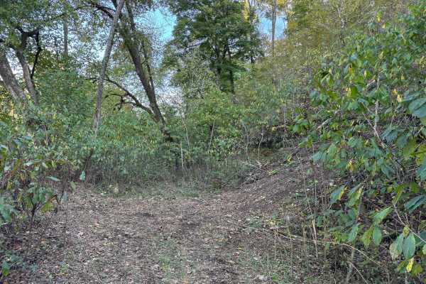
Loopback
Loopback trail provides an easy way to cycle back to the bottom of the West Ridge North hill climb trails for another run. It can also be used as an exit route if you choose to run those same trails in the downhill direction. It is an easy dirt road that'll give you a short break after running the t...
Learn more about Loopback
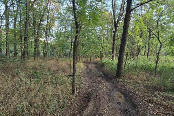
Paw Paw Path
This 0.6-mile offroad trail forms a loop on the western side of Little Gravois Creek, winding through a scenic woodland area. The trail is known for its muddy conditions, especially after rainfall, making it a fun yet low-challenging route. Due to its low elevation, it is also prone to occasional fl...
Learn more about Paw Paw Path
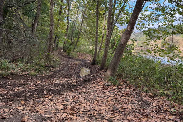
Riverside Drive
Riverside Drive completes a loop that includes West Ridge South and Over the Edge trails. It’s a narrow waterside ride along the west bank of the Little Gravois Creek. There are several smaller mudholes as well as slick spots, so manage your speed. There are rumors of some speedsters ending up in th...
Learn more about Riverside Drive
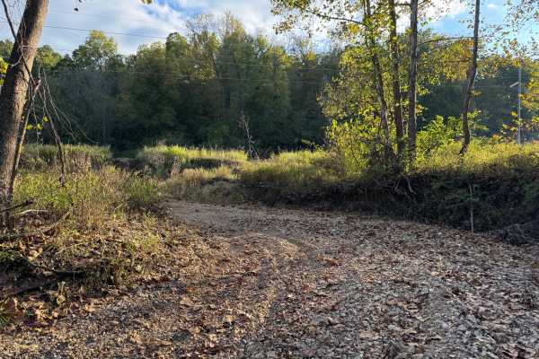
Riverbed
Riverbed trail follows a side wash that empties into the Little Gravois Creek on its western banks. It is usually dry with a smooth river rock surface, but during heavy rain events, it can flood due to runoff from uphill fields. There are several entry and exit points along its length.
Learn more about Riverbed
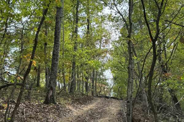
West Ridge South
West Ridge South trail runs along the ridge line on the west side of Little Gravois Creek. It provides an overlook point for Little Gravois Creek and the Lower Field area, as well as access to the steep drop in trails along the west bank of the creek. There are several trail options to get from the ...
Learn more about West Ridge South
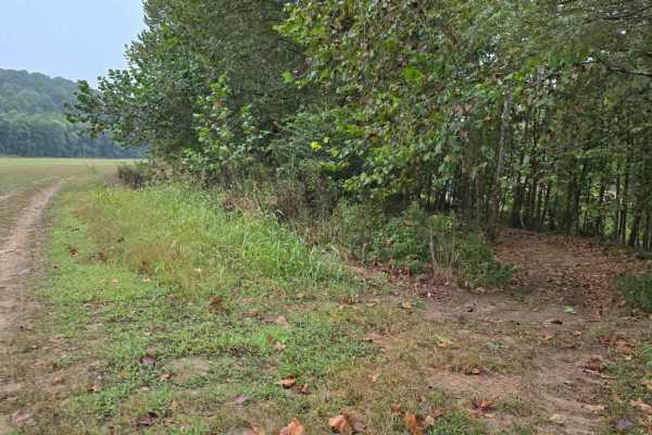
Lower Field Trail
This 1.5-mile offroad trail guides you through the lower field of the park, passing by two ponds, a rustic barn, and the park’s popular mud pit before reaching the banks of Little Gravois Creek. It's an easy route perfect for beginners looking to explore and get a feel for the park's terrain.
Learn more about Lower Field Trail
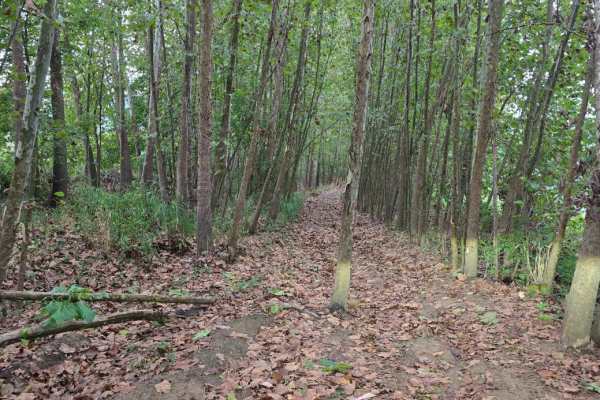
Creekside
This short trail runs alongside Little Gravois Creek, weaving through a dense section of trees and offering a shaded ride. The path is narrow throughout and includes a unique natural feature—a single tree growing directly in the middle of the trail near one end. Because of this tight clearance, the ...
Learn more about Creekside
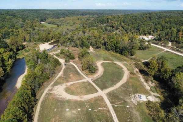
LOTO Racetrack
This simple, curved oval racetrack is located in the Lower Field close to the access of Little Gravois Creek and offers a fun, fast-paced riding experience for all skill levels. Designed for light-hearted fun rather than technical challenge, the track features a few low dips that require slower spee...
Learn more about LOTO Racetrack
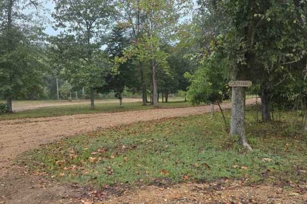
Happy Camper
This short loop trail serves as a convenient connector from the campground to both the Outer Loop and the Lower Field Trail, making it an ideal route for riders staying on-site. It allows for easy access to the broader trail system without needing to travel far from your campsite. The trail features...
Learn more about Happy Camper
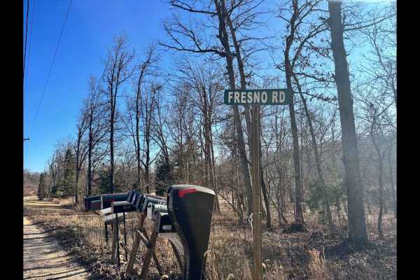
Fresno Road
Fresno Road is one of three private access routes available exclusively to visitors of LOTO Offroad Park. This low-maintenance gravel road is primarily used by local residents, so it's important to remain on the designated path at all times--no off-trail exploring is permitted. While not a technical...
Learn more about Fresno Road
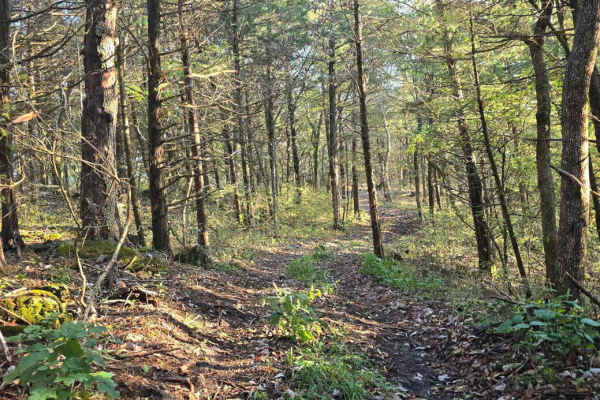
Cedar Ridge
The Northern Woodland Trail is a 0.7-mile one-way route (follow posted signage) that winds through a densely wooded northern section of the LOTO Offroad Park. This scenic trail offers a more enclosed, forested experience with tighter tree lines. It features one moderate descent followed by a steady ...
Learn more about Cedar Ridge
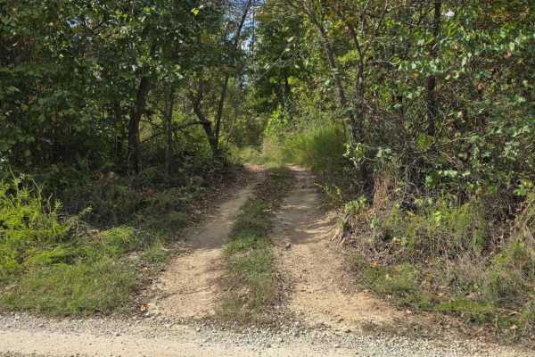
Fresno Trail
Fresno Trail is a full-width dirt path that winds through a wooded section of the park, creating a smooth loop between the private access road and the Outer Limit. This scenic trail also serves as a key connector to the Northern Woodland Trail, ultimately providing access to the northernmost point o...
Learn more about Fresno Trail
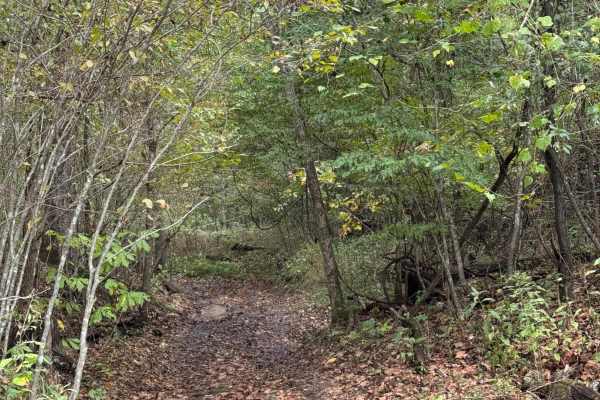
Ranger Smith
Ranger Smith is a mild gulch trail with plenty of width to pass or turn around. The surface is mostly dirt with some loose gravel. Since it follows a gulch, it can get muddy during wet weather. Boo Boo trail branches off to the east at roughly the halfway point.
Learn more about Ranger Smith
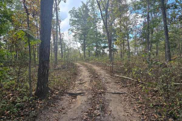
Rocky Road
Rocky Road is found at the southern end of the park, branching off from the main Coffee Creek area and weaving into the surrounding forest. This trail serves as a scenic connector and features a total elevation change of 160 feet. The hill climbs along the route are more gradual and less technical t...
Learn more about Rocky Road
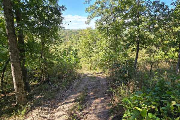
Outer Limits Spur
This trail offers a shorter alternative route that bypasses the longer Outer Loop and provides direct access to the Coffee Creek trail system. With gentle inclines and declines, it’s an easy and enjoyable ride suitable for all skill levels. The trail surface consists primarily of rock and dirt, offe...
Learn more about Outer Limits Spur
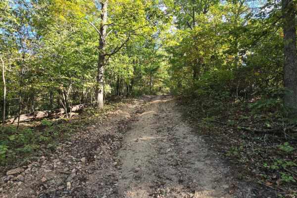
Tombstone
This trail is located near the LOTO main office and offers a short, easier alternative for those seeking to visit the tombstones. The path consists mostly of dirt and winds through a lightly wooded area without any major climbs or difficult obstacles. As you follow the trail, you'll pass near a few ...
Learn more about Tombstone

Quick Trip
Quick Trip serves as a main trail leading straight up to the upper field. This short trail is wide enough for all vehicles, but it is not considered a full-width road. Connecting the Outer Limits trail to Chimney Bypass. Quick Trip serves as a scenic alternate route to numerous trails on the southea...
Learn more about Quick Trip
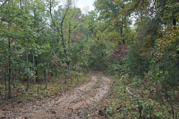
Smooth Sailing
This short offroad trail winds through a densely wooded area, offering a scenic route that takes you deep into the LOTO Offroad Park. There are several alternate trails along the way for longer rides or connecting to other nearby trails. The terrain consists mainly of packed dirt with occasional roc...
Learn more about Smooth Sailing
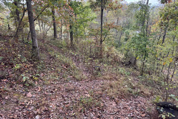
Top ‘O the Hill
This trail crosses the top of the five hill climb. Then it makes a small loop off of the Outer Loop Bypass trail. The trail is relatively flat with room to get around other vehicles in the hill climb area. Watch out for vehicles topping one of the five hill climb trails, as they may be coming in fas...
Learn more about Top ‘O the Hill
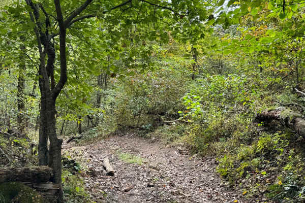
Home Run
Home Run trail starts at the park office, leading up the main gulch and branching north up a side gulch. It is sand, small rocks, and roots on the lower end, with a rocky stretch as it climbs up the side gulch. Overall, it is an easy trail that provides some practice for beginners on loose rock trai...
Learn more about Home Run
Beginner ATV trails near Weaubleau, Missouri
Explore ATV-friendly trails near you. These trails are accessible for vehicles up to 50 inches wide, perfect for ATVs and smaller off-road machines.
Loopback
Loopback trail provides an easy way to cycle back to the bottom of the West Ridge North hill climb trails for another run. It can also be used as an exit route if you choose to run those same trails in the downhill direction. It is an easy dirt road that'll give you a short break after running the t...
Learn more about Loopback
Paw Paw Path
This 0.6-mile offroad trail forms a loop on the western side of Little Gravois Creek, winding through a scenic woodland area. The trail is known for its muddy conditions, especially after rainfall, making it a fun yet low-challenging route. Due to its low elevation, it is also prone to occasional fl...
Learn more about Paw Paw Path
Riverside Drive
Riverside Drive completes a loop that includes West Ridge South and Over the Edge trails. It’s a narrow waterside ride along the west bank of the Little Gravois Creek. There are several smaller mudholes as well as slick spots, so manage your speed. There are rumors of some speedsters ending up in th...
Learn more about Riverside Drive
Riverbed
Riverbed trail follows a side wash that empties into the Little Gravois Creek on its western banks. It is usually dry with a smooth river rock surface, but during heavy rain events, it can flood due to runoff from uphill fields. There are several entry and exit points along its length.
Learn more about Riverbed
Beginner UTV/side-by-side trails near Weaubleau, Missouri
Find UTV and side-by-side trails near you. These trails accommodate vehicles up to 60 inches wide, ideal for UTVs, side-by-sides, and wider off-road rigs.
Loopback
Loopback trail provides an easy way to cycle back to the bottom of the West Ridge North hill climb trails for another run. It can also be used as an exit route if you choose to run those same trails in the downhill direction. It is an easy dirt road that'll give you a short break after running the t...
Learn more about Loopback
Paw Paw Path
This 0.6-mile offroad trail forms a loop on the western side of Little Gravois Creek, winding through a scenic woodland area. The trail is known for its muddy conditions, especially after rainfall, making it a fun yet low-challenging route. Due to its low elevation, it is also prone to occasional fl...
Learn more about Paw Paw Path
Riverside Drive
Riverside Drive completes a loop that includes West Ridge South and Over the Edge trails. It’s a narrow waterside ride along the west bank of the Little Gravois Creek. There are several smaller mudholes as well as slick spots, so manage your speed. There are rumors of some speedsters ending up in th...
Learn more about Riverside Drive
Riverbed
Riverbed trail follows a side wash that empties into the Little Gravois Creek on its western banks. It is usually dry with a smooth river rock surface, but during heavy rain events, it can flood due to runoff from uphill fields. There are several entry and exit points along its length.
Learn more about Riverbed
The onX Offroad Difference
onX Offroad combines trail photos, descriptions, difficulty ratings, width restrictions, seasonality, and more in a user-friendly interface. Available on all devices, with offline access and full compatibility with CarPlay and Android Auto. Discover what you're missing today!
Open Trail Map