
Beginner Off-Road Trails
Near Wacissa, Florida
Explore All Beginner Trails Near Wacissa, Florida
Beginner Off-Road Trails Near Wacissa, Florida
Discover the best beginner-friendly off-road trails near you. These easier, lower-rated trails are a great place to start — browse trail maps, check difficulty ratings, and find your next adventure.
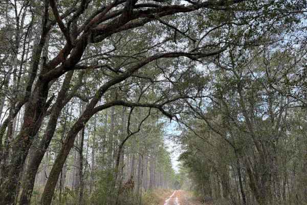
Black Top - FS 379
Black Top, also known as Apalachicola National Forest Road 379, connects US 319 at the west end and CR 363 at the east end. It takes you through the north-east part of the Apalachicola National Forest and gives you access to several trails in the area. The road conditions are a mixture of packed san...
Learn more about Black Top - FS 379
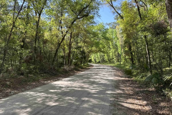
Wakulla Beach
The Wakulla Beach Road takes you through the western part of the St. Marks National Wildlife Refuge and gives you access to the Wakulla Beach, part of the Goose Creek Bay. The road conditions are a mixture of packed sand, loose sand, some deep holes, and ditches that can turn into 2-foot deep mud ho...
Learn more about Wakulla Beach
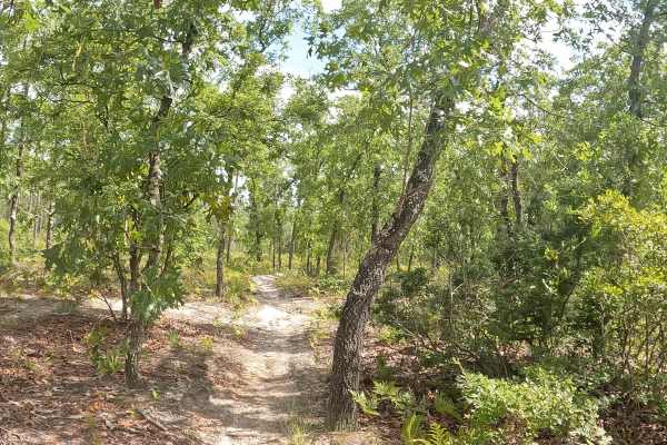
FS 12R
FS 14 is located within the Apalachicola National Forest. This bi-directional trail delivers maximum fun no matter which direction you ride, taking you deep into dense woods featuring small, rolling hills and incredibly sharp turns. Riders need to watch their speed closely, as the trail dips very qu...
Learn more about FS 12R
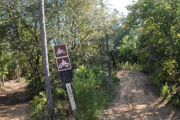
Forest Service 14
FS 14 consists of USFS 14a,14b 14r, and is located on the Apalachicola National Forest. This bi-directional single trail has many sharp turns, sandy berms, ups and downs, and plenty of whoops. From the parking lot, stay right as you enter the 50-inch trail. About a quarter of a mile on the left (no...
Learn more about Forest Service 14
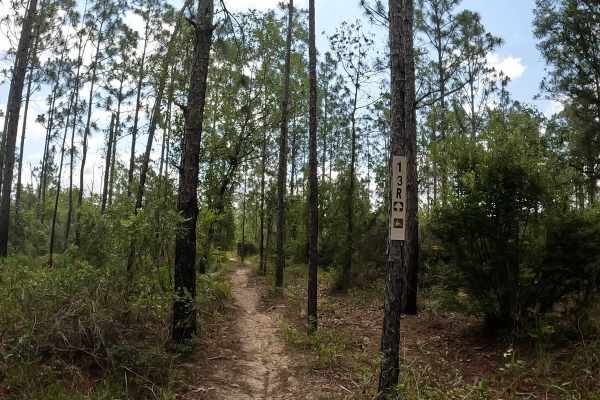
FS 13R
FS 13R is located in the scenic Apalachicola National Forest. This bi-directional trail features terrain changing from hard-pack sand to a softer, leafy woods dirt, with a canopy of tall trees lining either side of the path. It is a smooth, straightforward ride with no whoops and no berms to worry a...
Learn more about FS 13R
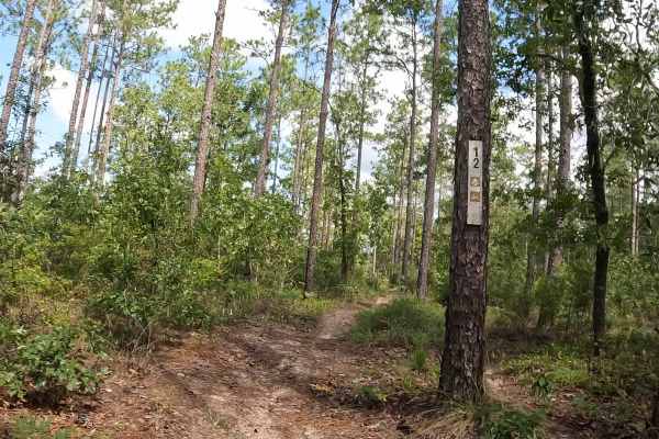
FS 12
FS 12 is located within the Apalachicola National Forest. While officially marked as a single-track trail, portions are wider. As you ride, the trail intersects with a powerline access road —keep a sharp lookout for ground posts in this area, and there are also no stop signs. The route also passes b...
Learn more about FS 12
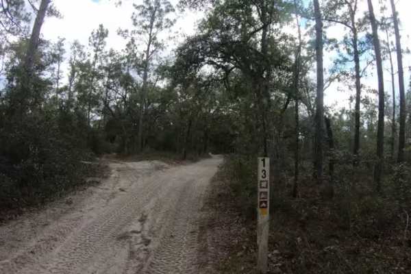
Cross Over Trail - FS 13
FS 13 Cross Over Trail is located in the Apalachicola National Forest and connects many of the single-track trails. This bi-directional, hard-packed, sandy road tends to invite higher speeds from riders. Because there are numerous intersections without stop signs, please exercise caution and watch ...
Learn more about Cross Over Trail - FS 13
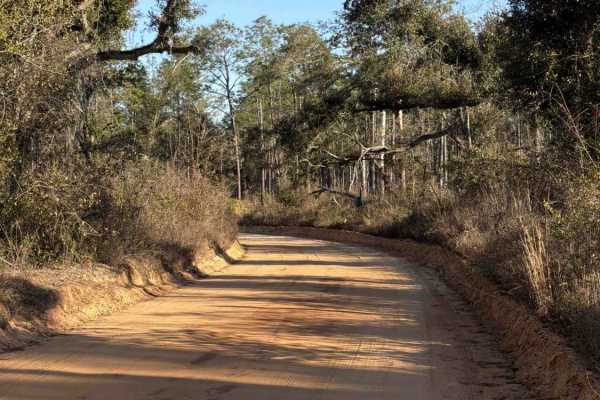
LL Wallace Road - FS 620
The LL Wallace Road, also known as Apalachicola National Forest Road 620, connects County Road 2203 at the west end and US Route 319 at the east end. It takes you through the north-east part of the Apalachicola National Forest and gives you access to several OHV trails. The road conditions are a mix...
Learn more about LL Wallace Road - FS 620
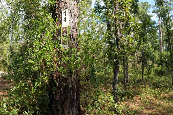
FS 14
FS 14 is located in the Apalachicola National Forest. This trail is not clearly marked. The terrain features a solid base of sand and hard-packed dirt. Riders should stay sharp—the trail is heavily peppered with lots of whoops, loose sand berms, low-hanging vines, and occasional fallen trees, which ...
Learn more about FS 14
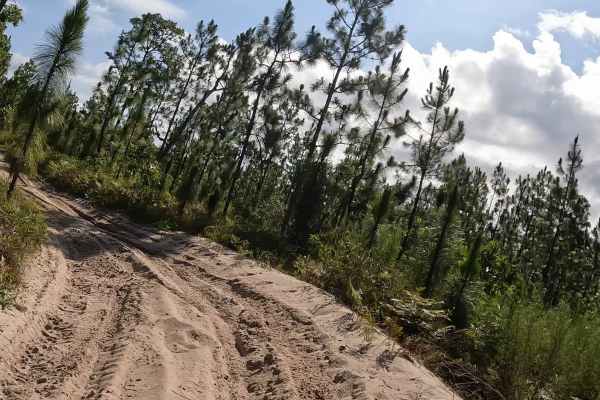
FS 13
FS 13 is located within the Apalachicola National Forest. This bi-directional, 50-inch trail primarily features white, hard-packed sand, though riders will encounter occasional sections of deeper, loose sand and prominent sandy berms. Because the trail lacks heavy tree coverage, the sandy terrain st...
Learn more about FS 13
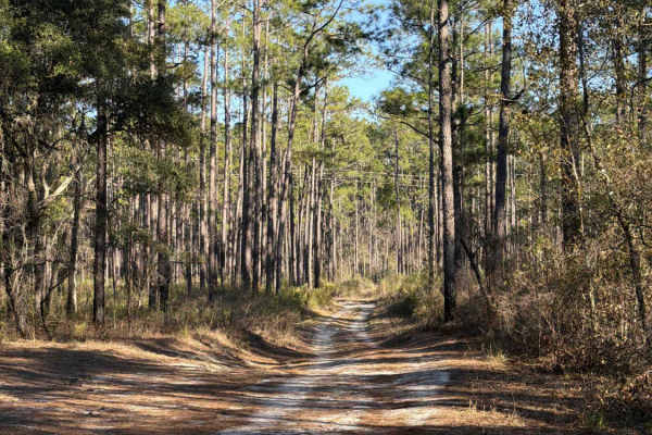
Leslie - FS 362
The Leslie Trail, also known as Apalachicola National Forest Road 362, connects CR2203 at the west end and the Springhill Cut Off at the east end. It takes you through the north-east part of the Apalachicola National Forest and gives you access to several OHV trails. The road conditions are a mixtur...
Learn more about Leslie - FS 362
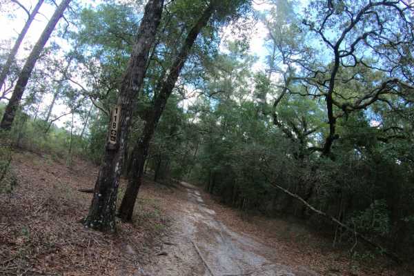
FS 11B
FS 11B is located within the Apalachicola National Forest. This bi-directional, 50-inch wide trail features a primarily flat terrain composed of smooth, hard-packed sand that makes for a fast and stable ride. While the route was originally designated for two-wheel dirt bikes only, it has since evol...
Learn more about FS 11B
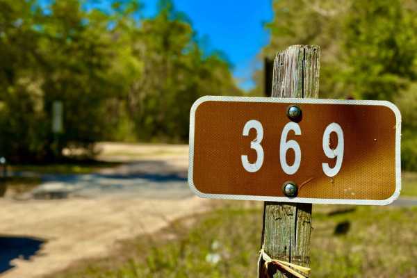
Simmons Lodge 369
This trail is mostly smooth and sandy, making for a leisurely ride under dry conditions. However, after heavy rains, expect some deep water crossings that can become quite challenging. A few muddy sections add to the adventure, but most of the route remains firm and manageable. The soft sand gives o...
Learn more about Simmons Lodge 369
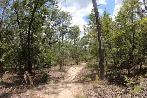
FS 11
FS 11 is located within the Apalachicola National Forest. This bi-directional trail delivers a tight, but not challenging, single-track experience packed with endless whoops and plenty of wide, sweeping turns with lots of forgiveness if you miss a turn. The terrain shifts continuously, transitioning...
Learn more about FS 11
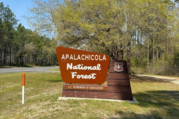
Cow House Bay - 313
Cow House Bay is a long, sandy trail that offers a classic Florida forest experience with a mix of bumpy terrain and smooth cruising. The route features several side trails branching off, making it ideal for extended exploration. A few small bridges add variety along the way, and the trail passes th...
Learn more about Cow House Bay - 313
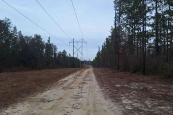
Freebirds North
This trail travels through Apalachicola National Forest. It gets a little technical as it gains elevation but there are adequate go-arounds for 2WD vehicles. After a brief crawl, the trail parallels some powerlines with a helping of sugar sand and then into some red clay roads that get quite soft af...
Learn more about Freebirds North
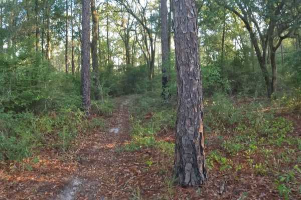
Southeast - FS 15
Trail Southeast - FS 15 is located in the Apalachicola National Forest. This bi-directional trail features a soft, sandy single-track path that runs beneath a canopy of trees. The southern part of the trail has tighter turns and more overgrowth, including plenty of saw palmetto. Although it runs cl...
Learn more about Southeast - FS 15
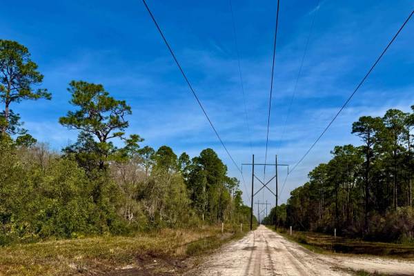
FS 394
Powerline Trail offers a unique route through the forest, following utility corridors with open views and wide sandy stretches. During the time of mapping, there was ongoing construction on the latter half of the trail due to severe weather impacts and a road blowout, which may affect accessibility....
Learn more about FS 394
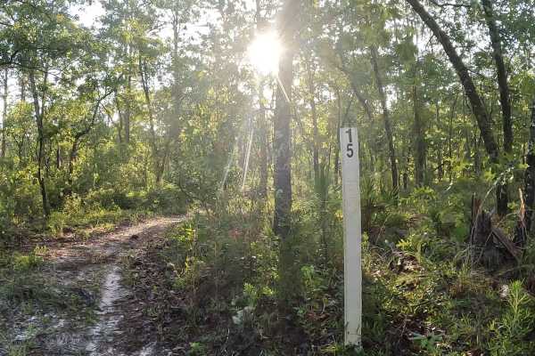
East - FS 15
East - FS 15 single track trail is located in the Apalachicola National Forest. It features sweeping turns, wet roots, and a few rotten logs, with mostly hard-packed surfaces mixed with pine needles, all situated among a dense canopy of trees. The trail stays relatively dry even after it rains.
Learn more about East - FS 15
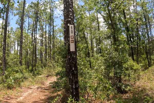
FS 10
FS 10 is located within the Apalachicola National Forest. Finding the trail can also be a bit tricky, as heavy vegetation and overgrowth often obscure the trail signage. While it is primarily a single-track trail, certain sections widen out significantly due to vandalism. Riders should also expect ...
Learn more about FS 10
Beginner ATV trails near Wacissa, Florida
Explore ATV-friendly trails near you. These trails are accessible for vehicles up to 50 inches wide, perfect for ATVs and smaller off-road machines.
Black Top - FS 379
Black Top, also known as Apalachicola National Forest Road 379, connects US 319 at the west end and CR 363 at the east end. It takes you through the north-east part of the Apalachicola National Forest and gives you access to several trails in the area. The road conditions are a mixture of packed san...
Learn more about Black Top - FS 379
Wakulla Beach
The Wakulla Beach Road takes you through the western part of the St. Marks National Wildlife Refuge and gives you access to the Wakulla Beach, part of the Goose Creek Bay. The road conditions are a mixture of packed sand, loose sand, some deep holes, and ditches that can turn into 2-foot deep mud ho...
Learn more about Wakulla Beach
Cross Over Trail - FS 13
FS 13 Cross Over Trail is located in the Apalachicola National Forest and connects many of the single-track trails. This bi-directional, hard-packed, sandy road tends to invite higher speeds from riders. Because there are numerous intersections without stop signs, please exercise caution and watch ...
Learn more about Cross Over Trail - FS 13
LL Wallace Road - FS 620
The LL Wallace Road, also known as Apalachicola National Forest Road 620, connects County Road 2203 at the west end and US Route 319 at the east end. It takes you through the north-east part of the Apalachicola National Forest and gives you access to several OHV trails. The road conditions are a mix...
Learn more about LL Wallace Road - FS 620
Beginner UTV/side-by-side trails near Wacissa, Florida
Find UTV and side-by-side trails near you. These trails accommodate vehicles up to 60 inches wide, ideal for UTVs, side-by-sides, and wider off-road rigs.
Black Top - FS 379
Black Top, also known as Apalachicola National Forest Road 379, connects US 319 at the west end and CR 363 at the east end. It takes you through the north-east part of the Apalachicola National Forest and gives you access to several trails in the area. The road conditions are a mixture of packed san...
Learn more about Black Top - FS 379
Wakulla Beach
The Wakulla Beach Road takes you through the western part of the St. Marks National Wildlife Refuge and gives you access to the Wakulla Beach, part of the Goose Creek Bay. The road conditions are a mixture of packed sand, loose sand, some deep holes, and ditches that can turn into 2-foot deep mud ho...
Learn more about Wakulla Beach
Cross Over Trail - FS 13
FS 13 Cross Over Trail is located in the Apalachicola National Forest and connects many of the single-track trails. This bi-directional, hard-packed, sandy road tends to invite higher speeds from riders. Because there are numerous intersections without stop signs, please exercise caution and watch ...
Learn more about Cross Over Trail - FS 13
LL Wallace Road - FS 620
The LL Wallace Road, also known as Apalachicola National Forest Road 620, connects County Road 2203 at the west end and US Route 319 at the east end. It takes you through the north-east part of the Apalachicola National Forest and gives you access to several OHV trails. The road conditions are a mix...
Learn more about LL Wallace Road - FS 620
The onX Offroad Difference
onX Offroad combines trail photos, descriptions, difficulty ratings, width restrictions, seasonality, and more in a user-friendly interface. Available on all devices, with offline access and full compatibility with CarPlay and Android Auto. Discover what you're missing today!
Open Trail Map