
Beginner Off-Road Trails
Near Tremont, Pennsylvania
Explore All Beginner Trails Near Tremont, Pennsylvania
Beginner Off-Road Trails Near Tremont, Pennsylvania
Discover the best beginner-friendly off-road trails near you. These easier, lower-rated trails are a great place to start — browse trail maps, check difficulty ratings, and find your next adventure.
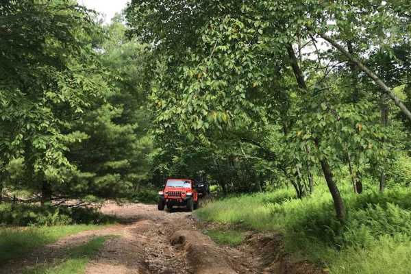
T6
T6 offers varied terrain throughout its extent, featuring smooth sections, ruts, rocks, and a decent hill. While the obstacles are not overly difficult, drivers should exercise caution. Stock vehicles can easily navigate this trail with careful attention.
Learn more about T6
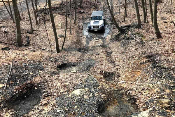
N3 - North
This section of N3 serves as an access trail along the bottom of the northeast property. It features some puddles and small ruts, leading over to the K1 hill. While passable with a stock vehicle, it requires caution. There are small obstacles to be mindful of to avoid catching wheels and undercarria...
Learn more about N3 - North
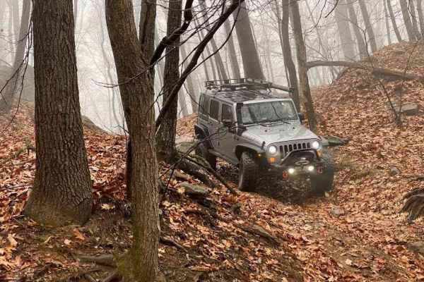
Halfpipe Trail
The Halfpipe derives its name from its distinctive shape resembling a half pipe. It's essentially a random pit with a trail running down through the middle, featuring a challenging entrance and exit. This trail serves as a convenient shortcut from T1 to N3 and other sections in this corner of the ar...
Learn more about Halfpipe Trail
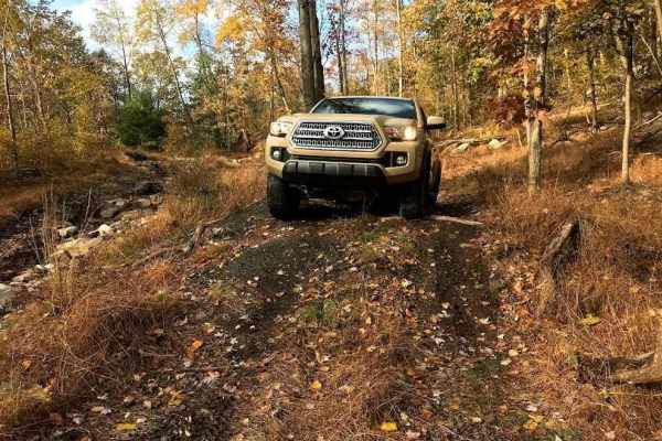
Talisman Access Trail
This trail serves as the access point to the top of Lower Talisman, the bottom of Upper Talisman, and BFG Hill. It's categorized as a green trail and can be paired with the lower part of BFG Hill to create a satisfying and challenging loop. While you can expect a few small rocks and obstacles, it ge...
Learn more about Talisman Access Trail
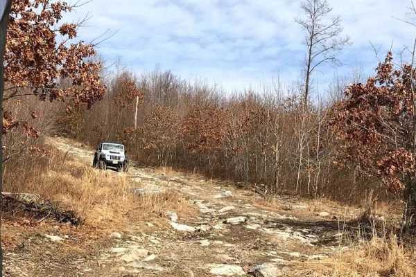
K1
K1 consists of two separate hill climbs, both featuring rocky terrain with ruts to navigate. The northern hill is easier compared to the southern one. Trails in the middle offer branching options to alter your route. This trail connects from N3 to the other section of N3.
Learn more about K1
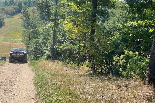
T6 to T1 Crossover
This crossover was formed during the construction of the Pipeline. It provides a straightforward transition between two green trails, offering an opportunity to vary trail routes. It's frequently utilized as a quicker route to access some of the more challenging trails off of T1.
Learn more about T6 to T1 Crossover
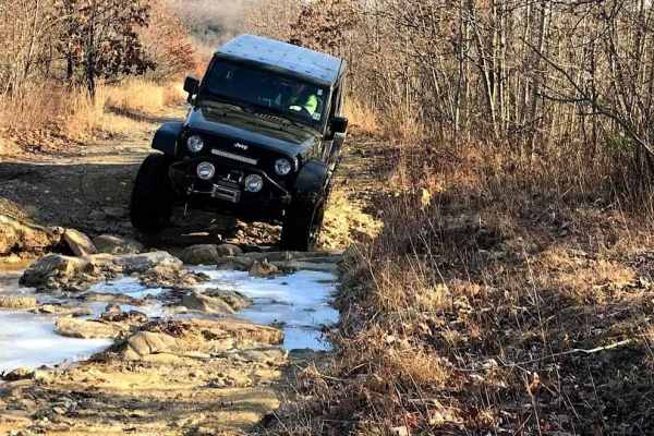
N3 - South
This section of N3 follows an old roadway and railroad line, which has become rocky and washed out over the years. It consistently has water flowing on it and undergoes constant changes. While it can be navigated with a stock vehicle, careful driving is required. Some of the washouts can be quite de...
Learn more about N3 - South
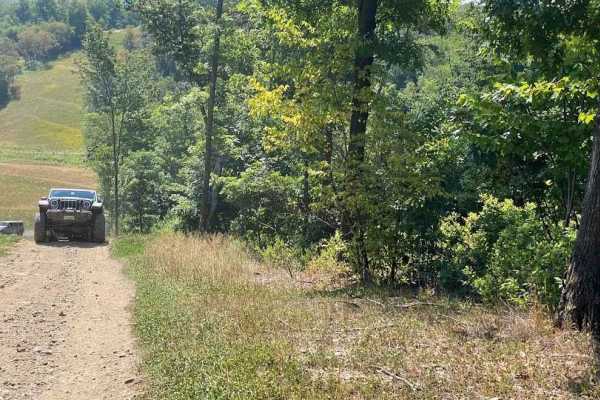
Pipeline
The Pipeline was installed after the establishment of trails in this area. Initially designated for crossing purposes only, with trails connecting at specific points. However, over time, drivers have started to traverse up and down it. As a result, it has transformed into a lengthy green trail featu...
Learn more about Pipeline
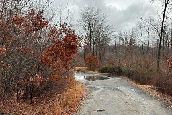
X4
X4 branches off from X1 and runs parallel to it, providing an alternative route to reach the Pipeline or Trail N2. The trail features small rocks and brush as it winds down a gradual hill. X4 is a popular choice for reaching N2 due to its direct route.
Learn more about X4
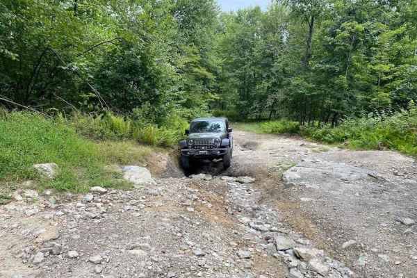
T2
T2 has evolved into a main trail, particularly since the closure of Blacktop Road, serving as the primary route from 40 to N2. The trail features decent rocks for a green trail, and some of the washouts can pose challenges. Caution is advised when driving a stock vehicle on this trail.
Learn more about T2
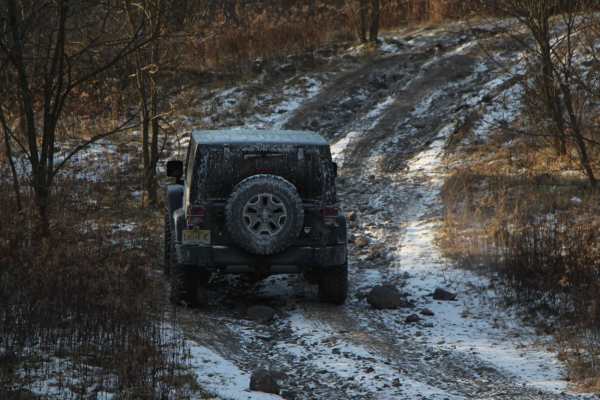
40
Trail 40 is the most commonly used route to access the southern side of the northeast property. This rocky trail features a hill climb, providing a fun technical challenge. While it is stock-friendly, exercising caution is essential for a safe passage.
Learn more about 40
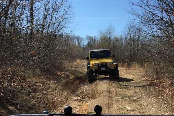
Area 51 Green C
Area 51 comprises multiple sections, serving as a connector for various trail areas. The trail network in this region originated from ground tests, where a bulldozer plowed paths to assess minerals in the soil. Consequently, these paths evolved into interconnected trails, explaining their appearance...
Learn more about Area 51 Green C
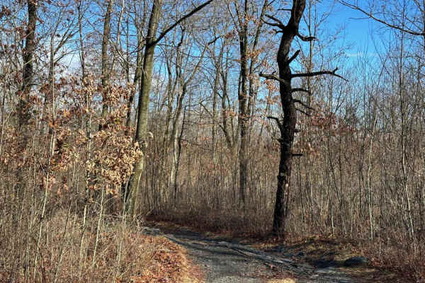
X2
X2 serves as a connection trail between N2 and X4, providing a simple option to vary the trail route based on your destination. This easier trail is stock-friendly, with a few rocks to navigate with caution. During the summer, it may become a bit brushy.
Learn more about X2
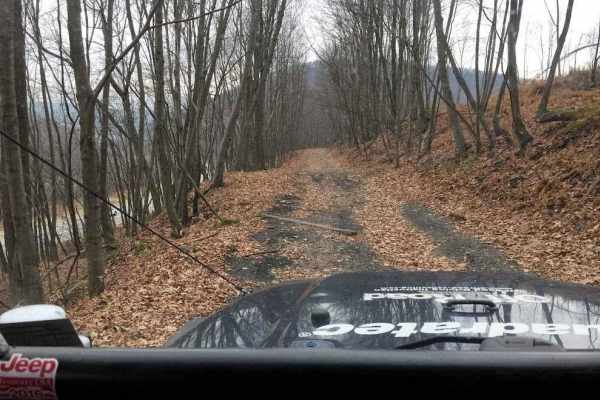
L
Trail L primarily follows an old railroad bed alongside Route 81. It provides a pleasant experience, allowing you to observe the highway while driving down an easier trail. However, there is a rutted and slightly rocky section between the railroad bed and Trail R. This part of the trail can be brush...
Learn more about L
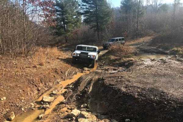
R
Trail R serves as a connector between N3 and the trail atop the ridge at R1, providing the sole access point to reach that area. It is a slightly rocky, washed-out, and rutted trail that ascends the hill to the southernmost trails.
Learn more about R
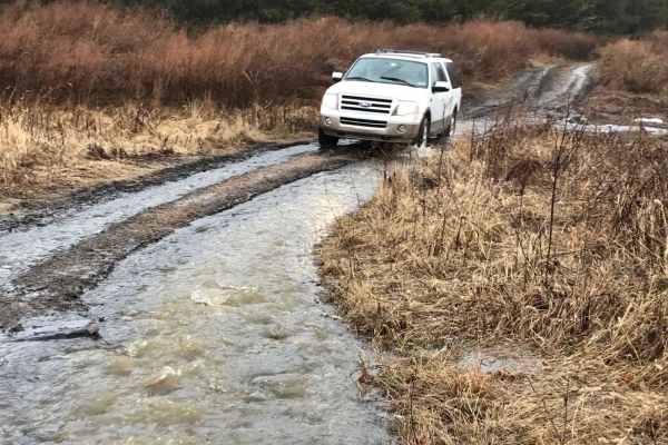
T1
T1 is a rocky green trail that transitions from open field areas to wooded sections over the mountain. Certain rocky areas may pose challenges for a stock vehicle, but with careful navigation, it is manageable. There are ways to work through the rough spots, provided the driver exercises caution.
Learn more about T1
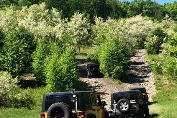
T
Trail T includes rocky technical sections, including a hill, making it easily navigable with a stock vehicle, provided care is taken at the rocky spots. During certain times of the year, there may be tight and brushy areas. The portion closest to Tip Top is the most challenging section of this trail...
Learn more about T
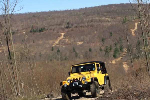
R1
R1 serves as the connector between the trails atop the ridge, offering a smooth pathway with occasional small rocks and moderate puddles to navigate. As there is only one other green trail on the ridge, and it can be challenging at times, it's important to plan your route accordingly. Keep in mind t...
Learn more about R1
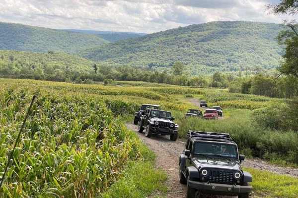
K
Trail K serves as the main route through the southern section of the northeast property. Originating from Blacktop Road, it leads down to K1. This stock-friendly trail features small washouts, water puddles, small rocks, and some brush. As you drive south on this trail, you'll encounter some nice vi...
Learn more about K
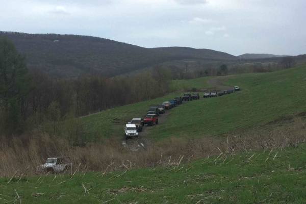
Old High Speed Area D
The Old High Speed Area is divided into multiple sections, reminiscent of its past as a race course. It features numerous smooth, flat sections that create loops and tiers across the area. Obstacles typically include occasional small rocks, puddles, and a few hills.
Learn more about Old High Speed Area D
Beginner ATV trails near Tremont, Pennsylvania
Explore ATV-friendly trails near you. These trails are accessible for vehicles up to 50 inches wide, perfect for ATVs and smaller off-road machines.
St. Keirns 79
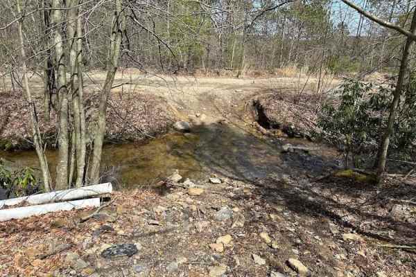
St. Keirns 79 is a fun trail that starts with a nice water crossing. It then goes out into a field before entering a scrub brush area that was someone's old camping area. At the end, there is a steep downhill that crosses another creek and out onto the main trail.
Learn more about St. Keirns 79
St. Keirns 73
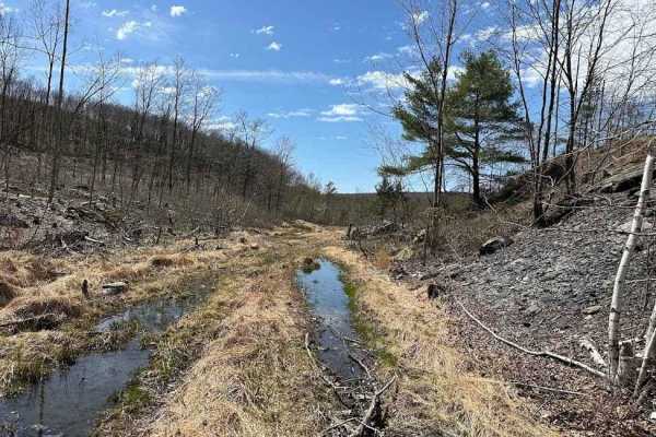
Trail 73 is a dead end with multiple loops to shift and change your route. There is water, rocks, and logs to challenge any driver as you work back to the depths that were made from the timbering. This trail may get some erosion which will change the severity over time.
Learn more about St. Keirns 73
St. Keirns 76
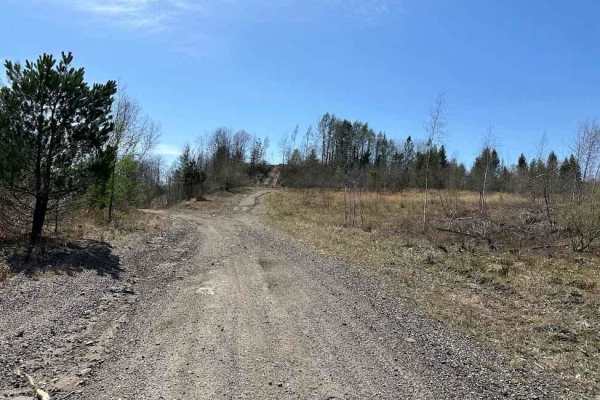
St. Keirns 76 is the main trail from the western side of this property to the center. It makes for a great access trail. This trail has changed drastically since the timbering and is more of a road now than a trail. Watch for debris, rocks, and shallow puddles.
Learn more about St. Keirns 76
St. Keirns 62
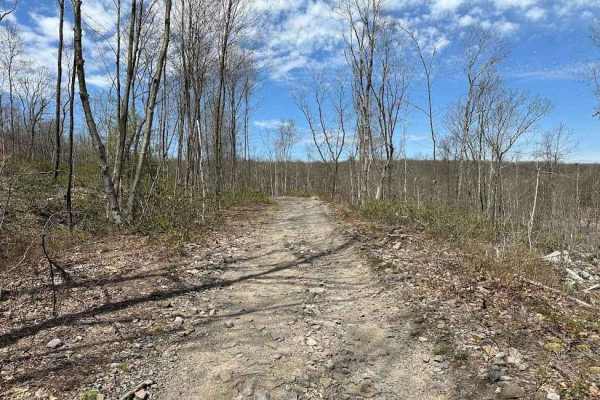
This trail is an old railroad bed that led up to a main road. The trail keeps going after the property line. Do not trespass and stay on the property. This is a slightly rocky trail that is of decent width. Adding trail 63 with this can make for a nice loop.
Learn more about St. Keirns 62
Beginner UTV/side-by-side trails near Tremont, Pennsylvania
Find UTV and side-by-side trails near you. These trails accommodate vehicles up to 60 inches wide, ideal for UTVs, side-by-sides, and wider off-road rigs.
St. Keirns 79
St. Keirns 79 is a fun trail that starts with a nice water crossing. It then goes out into a field before entering a scrub brush area that was someone's old camping area. At the end, there is a steep downhill that crosses another creek and out onto the main trail.
Learn more about St. Keirns 79
St. Keirns 73
Trail 73 is a dead end with multiple loops to shift and change your route. There is water, rocks, and logs to challenge any driver as you work back to the depths that were made from the timbering. This trail may get some erosion which will change the severity over time.
Learn more about St. Keirns 73
St. Keirns 76
St. Keirns 76 is the main trail from the western side of this property to the center. It makes for a great access trail. This trail has changed drastically since the timbering and is more of a road now than a trail. Watch for debris, rocks, and shallow puddles.
Learn more about St. Keirns 76
St. Keirns 62
This trail is an old railroad bed that led up to a main road. The trail keeps going after the property line. Do not trespass and stay on the property. This is a slightly rocky trail that is of decent width. Adding trail 63 with this can make for a nice loop.
Learn more about St. Keirns 62
The onX Offroad Difference
onX Offroad combines trail photos, descriptions, difficulty ratings, width restrictions, seasonality, and more in a user-friendly interface. Available on all devices, with offline access and full compatibility with CarPlay and Android Auto. Discover what you're missing today!
Open Trail Map