
Beginner Off-Road Trails
Near Roxbury, Wisconsin
Explore All Beginner Trails Near Roxbury, Wisconsin
Beginner Off-Road Trails Near Roxbury, Wisconsin
Discover the best beginner-friendly off-road trails near you. These easier, lower-rated trails are a great place to start — browse trail maps, check difficulty ratings, and find your next adventure.
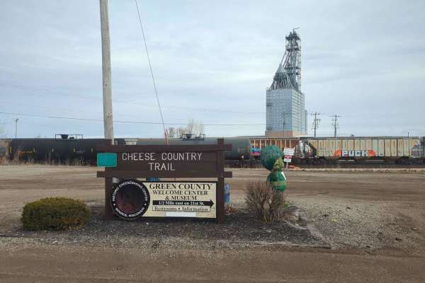
CCRT - Calamine to Mineral Point
CCRT - Calamine to Mineral Point is a 9.4-mile point-to-point trail rated 2 of 10 located in Lafayette and Iowa Counties. This is a well-maintained trail consisting of crushed stone and gravel. This section of the trail crosses the Pecatonica River in several locations as well as a couple of minor c...
Learn more about CCRT - Calamine to Mineral Point
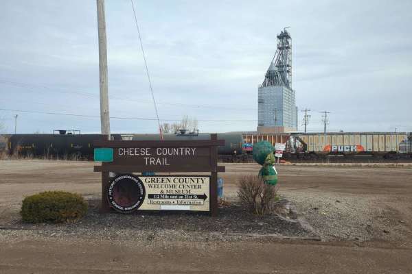
CCRT - Darlington to Calamine
CCRT - Darlington to Calamine is a 5.8-mile point-to-point trail rated 2 of 10 located in Lafayette County. This is a well-maintained trail consisting of crushed stone and gravel. There are two bridge crossings along the trail. This section of the trail ends just south of the community of Calamine a...
Learn more about CCRT - Darlington to Calamine
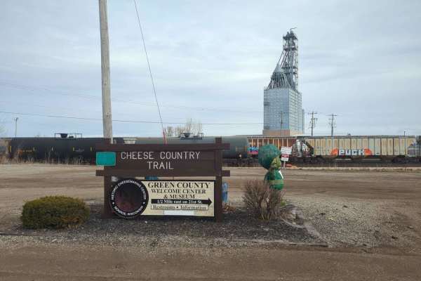
CCRT - Gratiot to Darlington
CCRT - Gratiot to Darlington is a 10-mile point-to-point trail rated 2 of 10 located in Lafayette County. This is a well-maintained trail consisting of crushed stone and gravel. This section of the CCRT is the longest section between communities. It is also the easiest section to travel, as there ar...
Learn more about CCRT - Gratiot to Darlington
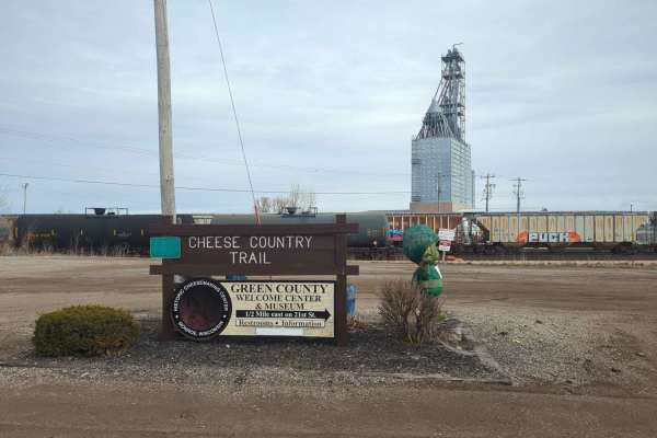
CCRT - Monroe to Browntown
CCRT - Monroe to Browntown is a 7.3-mile point-to-point trail rated 2 of 10 located in Green County. This is a well-maintained trail consisting of crushed stone and gravel. The trailhead starts on the western side of Monroe with a parking area just off of 4th Avenue West. Starting in Monroe, the tra...
Learn more about CCRT - Monroe to Browntown
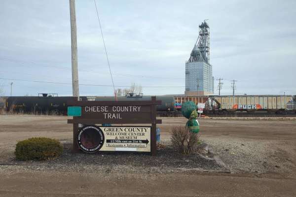
CCRT - Browntown to South Wayne
CCRT - Browntown to South Wayne is a 4.7-mile point-to-point trail rated 2 of 10 located in both Green and Lafayette Counties. This is a well-maintained trail consisting of crushed stone and gravel and features bridges. A half-mile west after departing Browntown, the CCRT crosses the 440-foot Brownt...
Learn more about CCRT - Browntown to South Wayne
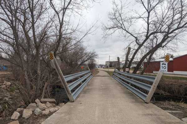
Pecatonica State Trail
Pecatonica State Trail is a 10-mile point-to-point trail rated 2 of 10 located in Lafayette County. The Pecatonica Trail is an east/west running trail between the communities of Belmont and Calamine. The eastern end of the trail connects with the Cheese Country Recreational Trail, which also allows ...
Learn more about Pecatonica State Trail
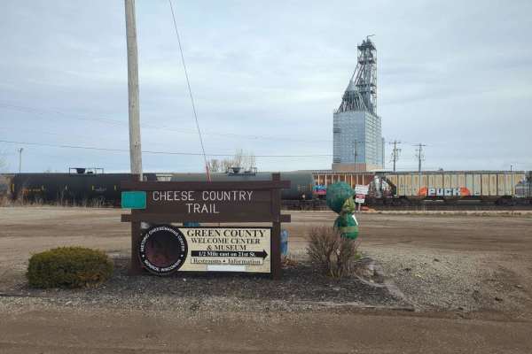
CCRT - South Wayne to Gratiot
CCRT - South Wayne to Gratiot is a 9.3-mile point-to-point trail rated 2 of 10 located in Lafayette County. This is a well-maintained trail consisting of crushed stone and gravel. The section of the CCRT runs along the side of the Pecatonica River and through rolling country farmland. This trail als...
Learn more about CCRT - South Wayne to Gratiot
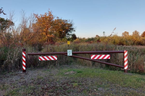
Dead End Road
This is mostly 2 track dirt/gravel road. The road is flat with no large obstacles. As the name implies it is a dead end out and back. Being a single lane out and back, encountering another person will make passing an adventure so drive slowly and watch for others. There are large parking areas at th...
Learn more about Dead End Road

White River Road
The road is a narrow gravel road through the White River Wildlife Area. The road is gravel/dirt and flat with several parking areas for hiking, hunting, and photography. Sections of the road are only 1 vehicle wide and you can not pass another vehicle. Central Wisconsin is not known for its offroad ...
Learn more about White River Road

Pine Bluff
This is a short route through the rolling hills, forests, and fields of central Wisconsin. This route will take you on gravel roads through a scenic rural area of central Wisconsin. The route is generally well-maintained and accessible to all road vehicles during the 3 non-winter seasons. The east e...
Learn more about Pine Bluff
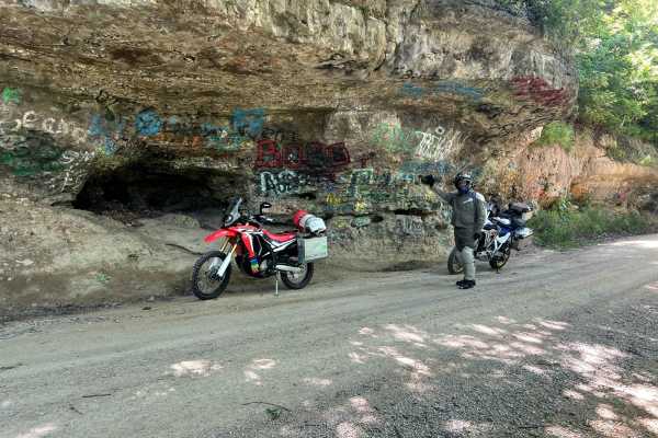
Trans Wisconsin Adventure Trail (Southern Portion)
Route leads from the Illinois border to Sparta. Mostly paved, good mix of gravel roads and trail. Yellow River State Forest in Iowa is a highlight. Make sure to stop at the famous rock overhang. There is a Cabela's in Prairie du Chien if you need any extra camp gear for the ride.
Learn more about Trans Wisconsin Adventure Trail (Southern Portion)
Beginner ATV trails near Roxbury, Wisconsin
Explore ATV-friendly trails near you. These trails are accessible for vehicles up to 50 inches wide, perfect for ATVs and smaller off-road machines.
CCRT - Calamine to Mineral Point
CCRT - Calamine to Mineral Point is a 9.4-mile point-to-point trail rated 2 of 10 located in Lafayette and Iowa Counties. This is a well-maintained trail consisting of crushed stone and gravel. This section of the trail crosses the Pecatonica River in several locations as well as a couple of minor c...
Learn more about CCRT - Calamine to Mineral Point
CCRT - Darlington to Calamine
CCRT - Darlington to Calamine is a 5.8-mile point-to-point trail rated 2 of 10 located in Lafayette County. This is a well-maintained trail consisting of crushed stone and gravel. There are two bridge crossings along the trail. This section of the trail ends just south of the community of Calamine a...
Learn more about CCRT - Darlington to Calamine
CCRT - Gratiot to Darlington
CCRT - Gratiot to Darlington is a 10-mile point-to-point trail rated 2 of 10 located in Lafayette County. This is a well-maintained trail consisting of crushed stone and gravel. This section of the CCRT is the longest section between communities. It is also the easiest section to travel, as there ar...
Learn more about CCRT - Gratiot to Darlington
CCRT - Monroe to Browntown
CCRT - Monroe to Browntown is a 7.3-mile point-to-point trail rated 2 of 10 located in Green County. This is a well-maintained trail consisting of crushed stone and gravel. The trailhead starts on the western side of Monroe with a parking area just off of 4th Avenue West. Starting in Monroe, the tra...
Learn more about CCRT - Monroe to Browntown
Beginner UTV/side-by-side trails near Roxbury, Wisconsin
Find UTV and side-by-side trails near you. These trails accommodate vehicles up to 60 inches wide, ideal for UTVs, side-by-sides, and wider off-road rigs.
The onX Offroad Difference
onX Offroad combines trail photos, descriptions, difficulty ratings, width restrictions, seasonality, and more in a user-friendly interface. Available on all devices, with offline access and full compatibility with CarPlay and Android Auto. Discover what you're missing today!
Open Trail Map