
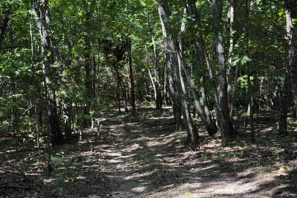
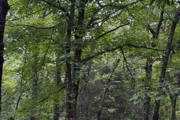
Beginner Off-Road Trails
Near Park Hills, Missouri
Explore All Beginner Trails Near Park Hills, Missouri
Beginner Off-Road Trails Near Park Hills, Missouri
Discover the best beginner-friendly off-road trails near you. These easier, lower-rated trails are a great place to start — browse trail maps, check difficulty ratings, and find your next adventure.
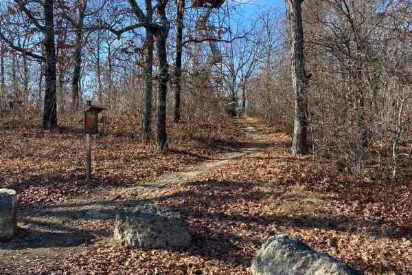
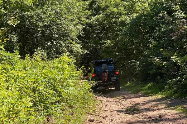
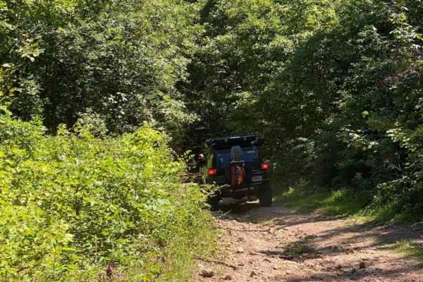
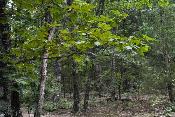
Knob Lick Tower Road
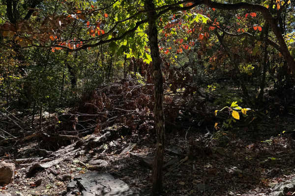
Knob Lick Tower Road leads to a Missouri Department of Conservation area that holds the publicly accessible Knob Lick Tower overlooking the St Francois Mountains. The road's primary surface is gravel, and despite being well-packed, and maintained, it features mounding, washboarding, and mild ruts. T...
Learn more about Knob Lick Tower Road
Heinke Hills
On the northern portion of the park, this can take you from the back of the lake over to Ridge Road or also back towards the beginning of the lake shore loop. It can spur off into a few side trails, and a couple of them have some nasty mud holes, so be mindful. One hole specifically will swallow a r...
Learn more about Heinke Hills
Happy Hollow
If you're starting from the Ridge Road side of the trail, you'll be met with a pretty nasty washout. Depending on which side of the wash you're on, there is one bypass. This is a relatively moderate trail with a few technical spots, taking you through the hollows and hills deep down off the mountain...
Learn more about Happy Hollow
The Rock
At the northern part of the park, you can find some muddy trails, deep ruts, and nasty holes waiting for those willing to see if they can work through them. Going from Brandon's Cut to Heinke Hills, this trail is fun and features a large rock, hence the trail's name.
Learn more about The Rock
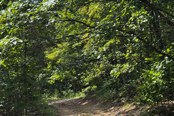
Lake Shore Loop
This track is an easy ride down to the lake at Pruitt Mountain, where you're encouraged to swim and enjoy. The turnaround at the dam and a section of the back half vary depending on the weather. The trail is usually dry with a small mud hole at the bottom, but when it's wet it can be tricky getting ...
Learn more about Lake Shore Loop
Ridge Run North
Starting at the top ridge just before Happy Hollow, you'll find a nasty washout followed by the main ridge, where you'll find Uncle and other trail heads. As you make your way north, you'll see the big barn (good to take note in case any assistance is needed) while visiting the park. Lots of differe...
Learn more about Ridge Run North
Lake Shore Loop
This track is an easy ride down to the lake at Pruitt Mountain. You're encouraged to swim and enjoy the lake and camp area year-round. The turnaround and back half of the lake loop can be tricky; depending on the weather, it can be very slick back there. Be cautious.
Learn more about Lake Shore Loop
Eastern Upper
The second half of the eastern escape is a much more modest climb up to the main ridge. Starting from the T at Wow Cut Through. The left takes you up the mountain a little more before leveling out. You'll find moderate obstacles and loose climbs, but nothing too much beyond that.
Learn more about Eastern Upper
Wow Cut to Eastern
This cut-through trail, although mild, can still be tricky, especially at the beginning of the 'wow' side. It'll come into an awkward drop-in; be mindful of speed and angle at this drop-in. Depending on the wheel base and overall height of your rig, it can feel pretty hairy. Beyond that, it is relat...
Learn more about Wow Cut to Eastern
Happy Hills
Also spurring off of Ridge Road, this trail is a bit more on the moderate side, but will run relatively parallel with Happy Hollow, but with a bit more hills. Keep in mind the spurs off the trail, as some can lead into some nasty hills, so be mindful of the map.
Learn more about Happy Hills
Wow Express
Wow Express is a beautiful trail leading you to an even more beautiful ridge on the mountain, where you'll find wow and a few other very gnarly obstacles. There are a few rock obstacles along the way and a few steeper sections. Closer to the bottom, be mindful of the loose rocks.
Learn more about Wow Express
Wow Escape
Wow escape leads to the bottom of the ridge, where you'll find great views, good camping, and a relatively moderate trail featuring some loose terrain and medium-sized rocks. Be mindful of the traffic. During events, this area can be very busy with bouncers.
Learn more about Wow Escape
Southern Ridge Run
Starting at the intersection of eastern escape and working down towards WOW. As much as this is an "access" road to the southern areas in the park, it comes with its own challenges, starting with an optional small rock obstacle. There are a couple of muddy spots and washouts, but nothing too major. ...
Learn more about Southern Ridge Run
Eastern Landing
Connecting you from the ridge to the start of the Oasis Easy Trail. This is mainly just to save the trouble of going around. Good scenic terrain, nothing majorly difficult, although the area is prone to trees coming down after storms. Be mindful of tire debris and other issues in the area.
Learn more about Eastern Landing
Rocky Ridge Loop
Starting off the main ridge, this bonus trail is cut through the rock croppings surrounding the main barn on the property, taking you over large granite croppings and some nice axle grabbers, so be mindful of your lower clearance vehicles. The trail will pop you out right at the barn, so please be r...
Learn more about Rocky Ridge Loop
Rugged Cross
Rugged cross name says it all, it's a rugged rocky trail, although not super technical, a good fun trail for a more novice explorer. Coming from jeepers sleepers, it'll take you up the mountain up to the main ridge, where you'll be at the top of uncle and other trails.
Learn more about Rugged Cross
Pruitt Run Byway
Pruitt Run Byway is a long stretch of trail bypassing all the obstacles along Ridge Road. It's mainly used for emergency access, but very helpful in case of needing to be pulled across the ridge for damaged or broken vehicles. Be mindful that it is narrow, so you'll need to be aware of those coming ...
Learn more about Pruitt Run Byway
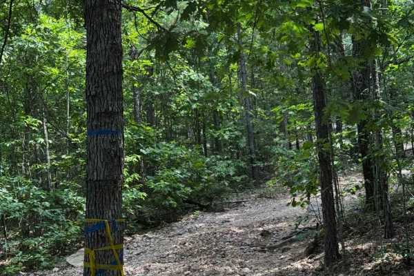
Jeepers Sleepers
This trail starts at either the far corner of the field or at the start of Ridge Road. This low-lying trail features a few mud spots and hills closer to the Ridge Road side of the trail. In the middle, you'll cross through the cabin property into some steeper hills as you make your way back out into...
Learn more about Jeepers Sleepers

Red Barn Road
Coming out of the mountain, heading down to the main field or check-in office, you can check out this little section of trail that can be fun, especially in wet conditions. This barn will actually be taken down as of 12/31/25, so this submission will also be in memory of the iconic barn.
Learn more about Red Barn Road
Southern Spur
This trail spurs off of its main trail (southern cross), although it can be an easier option, helpful for passing during busy times. Be mindful of this area as it can be steep, and two-way traffic can be difficult to maneuver. Deep washouts and loose steep hills as you make your way up the mountain.
Learn more about Southern Spur
Beginner ATV trails near Park Hills, Missouri
Explore ATV-friendly trails near you. These trails are accessible for vehicles up to 50 inches wide, perfect for ATVs and smaller off-road machines.
Heinke Hills
On the northern portion of the park, this can take you from the back of the lake over to Ridge Road or also back towards the beginning of the lake shore loop. It can spur off into a few side trails, and a couple of them have some nasty mud holes, so be mindful. One hole specifically will swallow a r...
Learn more about Heinke Hills
Happy Hollow
If you're starting from the Ridge Road side of the trail, you'll be met with a pretty nasty washout. Depending on which side of the wash you're on, there is one bypass. This is a relatively moderate trail with a few technical spots, taking you through the hollows and hills deep down off the mountain...
Learn more about Happy Hollow
The Rock
At the northern part of the park, you can find some muddy trails, deep ruts, and nasty holes waiting for those willing to see if they can work through them. Going from Brandon's Cut to Heinke Hills, this trail is fun and features a large rock, hence the trail's name.
Learn more about The Rock
Lake Shore Loop
This track is an easy ride down to the lake at Pruitt Mountain, where you're encouraged to swim and enjoy. The turnaround at the dam and a section of the back half vary depending on the weather. The trail is usually dry with a small mud hole at the bottom, but when it's wet it can be tricky getting ...
Learn more about Lake Shore Loop
Beginner UTV/side-by-side trails near Park Hills, Missouri
Find UTV and side-by-side trails near you. These trails accommodate vehicles up to 60 inches wide, ideal for UTVs, side-by-sides, and wider off-road rigs.
Heinke Hills
On the northern portion of the park, this can take you from the back of the lake over to Ridge Road or also back towards the beginning of the lake shore loop. It can spur off into a few side trails, and a couple of them have some nasty mud holes, so be mindful. One hole specifically will swallow a r...
Learn more about Heinke Hills
Happy Hollow
If you're starting from the Ridge Road side of the trail, you'll be met with a pretty nasty washout. Depending on which side of the wash you're on, there is one bypass. This is a relatively moderate trail with a few technical spots, taking you through the hollows and hills deep down off the mountain...
Learn more about Happy Hollow
The Rock
At the northern part of the park, you can find some muddy trails, deep ruts, and nasty holes waiting for those willing to see if they can work through them. Going from Brandon's Cut to Heinke Hills, this trail is fun and features a large rock, hence the trail's name.
Learn more about The Rock
Lake Shore Loop
This track is an easy ride down to the lake at Pruitt Mountain, where you're encouraged to swim and enjoy. The turnaround at the dam and a section of the back half vary depending on the weather. The trail is usually dry with a small mud hole at the bottom, but when it's wet it can be tricky getting ...
Learn more about Lake Shore Loop
The onX Offroad Difference
onX Offroad combines trail photos, descriptions, difficulty ratings, width restrictions, seasonality, and more in a user-friendly interface. Available on all devices, with offline access and full compatibility with CarPlay and Android Auto. Discover what you're missing today!
Open Trail Map