
Beginner Off-Road Trails
Near Osmond, Wyoming
Explore All Beginner Trails Near Osmond, Wyoming
Beginner Off-Road Trails Near Osmond, Wyoming
Discover the best beginner-friendly off-road trails near you. These easier, lower-rated trails are a great place to start — browse trail maps, check difficulty ratings, and find your next adventure.
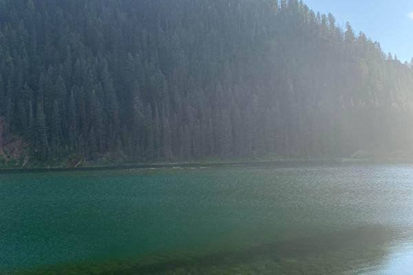
Cottonwood
You access this road from County Road 153. Cottonwood Lake is at the top of the road. There is camping and fishing there as well. The road can be busy at times which can make it dusty. There are picnic areas with fire rings and tables next to the lake.
Learn more about Cottonwood

Swift Creek
This is a popular point-to-point road. Accessed from East Second Avenue in Afton. There is fishing and hiking along the trail. The popular Periodic spring trail is at the top of this road. It's a short 3/4 mile hike on an easy trail. There are a couple of small reservoirs for fishing as well as Swif...
Learn more about Swift Creek
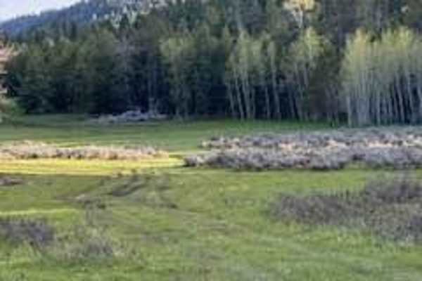
Manning Creek
This is a point-to-point trail. It's a very scenic ride up the mountain with nice views overlooking the valley below in certain spots. There is a large open meadow at the top--a nice place to tent camp. The trail is very rutted with big muddy washes. If it's wet, it will be slick with minimal tracti...
Learn more about Manning Creek
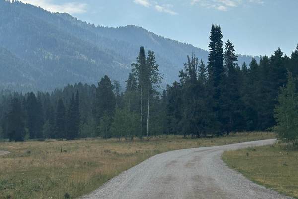
Grover Park
This road will take you from the small town of Grover to a smaller area known as Turnerville. This road is graded every year but still has lots of washboards and potholes. That being said it is traveled regularly by the locals to go back and forth. There is plenty of camping and spurs to do some rec...
Learn more about Grover Park
Willow Creek
The beginning of this section is a very easy 1 difficulty. You can access the north fork which is popular among hiking and horse riding. Shortly after that, the trail turns to a 2 and quickly to a 3. There are a few spurs along the way some are 50" or less. There is also the Pine Trail that will tak...
Learn more about Willow Creek
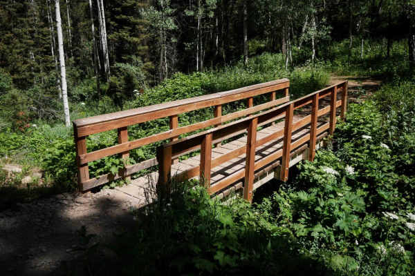
Bear Canyon #5123
Bear Canyon #5123 is an easy 2.1-mile ATV trail that descends steeply from Webster Ridge down to Bear Canyon Road, dropping over 1,200 feet from east to west. The route is narrow and shelfy in places, with waterbars and small loose rocks, but the surface is mostly smooth dirt and well-maintained. A ...
Learn more about Bear Canyon #5123
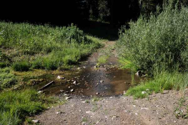
South Fork Timber Creek #5127
South Fork Timber Creek #5127 is an easy ATV trail that begins at the end of FSR 50627 off of Smokey Canyon Road, in the Caribou National Forest. Follow the short rutted dirt road for a half mile, through a small stream crossing, to the start of the trail, which is more like a continuation of the ro...
Learn more about South Fork Timber Creek #5127
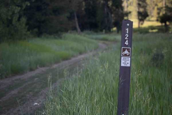
Johnson Creek #5124
Johnson Creek #5124 is a short, easy ATV trail off of Forest Service Road 50110 that must be ridden as an out-and-back route. The trail travels through scenic forest with pine trees, wildflowers, and meadows, but it does not connect to any other trails or destinations. It ends beneath a set of power...
Learn more about Johnson Creek #5124
Dry Fork
This is a scenic trail with beaver ponds along the way and the occasional beaver sighting. The trail has been redone by the Forest Service, which dropped the technical rating from a 5 to a 1. Traveling from Bridger National Forest to BLM land, this trail has a few really nice side trails along the w...
Learn more about Dry Fork
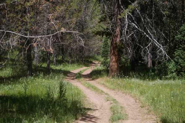
Diamond-Bear #5125
Diamond-Bear #5125 is an easy 1.1-mile ATV trail that begins in flat forest terrain at its eastern intersection with Forest Road 50235. The trail winds through open pine forest with widely spaced trees, offering good visibility and a flowy route through grassy meadows. The path is wide and mostly sm...
Learn more about Diamond-Bear #5125
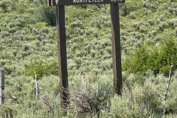
Wells Canyon
This trail is a well-maintained Forest Service road, accessed from Crow Creek, Georgetown Canyon, or Diamond Creek. It follows along the edge of Smokey Canyon Mine, so you'll need to pay attention to stay off mine haul roads that are in the area. There is no cell service available.
Learn more about Wells Canyon
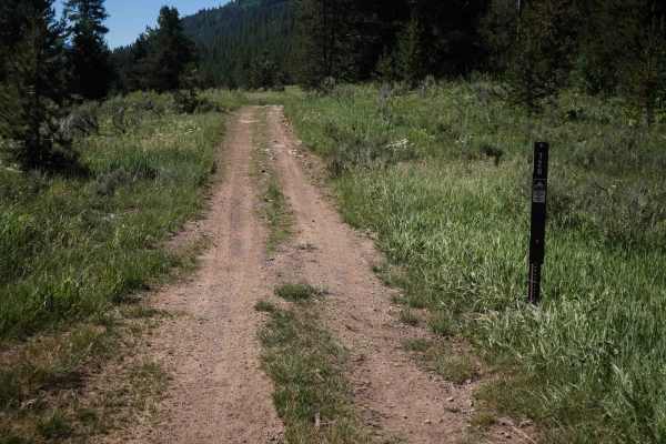
Diamond Creek #5126
This is a short out-and-back easy ATV trail in the Caribou National Forest, starting near the Johnson Guard Station off of Diamond Creek Road. It goes through flat grassy meadows next to some dispersed camp sites, then starts to go through more pine trees. There are lots of pointy low branches stick...
Learn more about Diamond Creek #5126
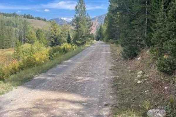
North Three Forks
This trail serves primarily as a connector route that links to several ATV trails, making it useful for accessing a wider network of off-road options. The road surface is somewhat rough but still manageable, and it can be driven with a passenger vehicle if needed.
Learn more about North Three Forks
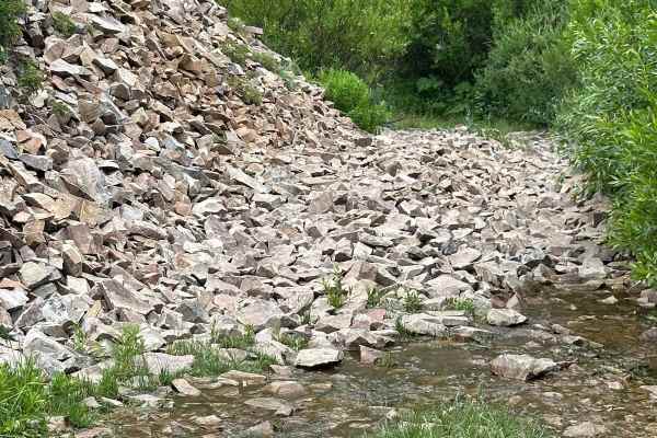
Shale Creek - Kinney Creek Loop
This is a beautiful fun ride through the pines. Some natural spring crossings. This is a loop that has sections of small rocks and others that are muddy from the springs. A couple of areas are tight for more than one vehicle so passing may be difficult. In most areas, there is enough room to get by.
Learn more about Shale Creek - Kinney Creek Loop

Diamond Creek
This is a non-technical trail that winds through the Caribou National Forest and has access to quite a few side spur roads and camp sites. The Johnson Guard Station and Diamond Creek Guard Station can both be reserved for camping. There are double-track and single-track spurs that will take you in l...
Learn more about Diamond Creek
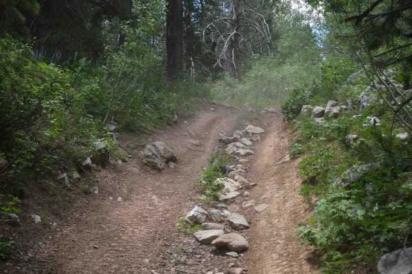
Goodheart Springs Alt #3566A
Goodheart Springs Alt #3566A is an easy 0.6-mile ATV trail that primarily serves as a short connector route. It begins on Forest Service Road 30342 at an unmarked entrance and descends semi-steeply into the forest, eventually accessing another ATV trail, #3566. The trail is wide and grassy, with not...
Learn more about Goodheart Springs Alt #3566A
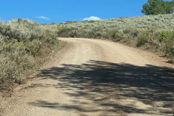
Crow Creek
Crow Creek Road is accessed from Fairview Way. The trail travels along the creek. The lower section goes through private properties and then goes to Caribou National Forest. But there is also private property in areas up there so be sure to stay on the road and respect all private land. There are a ...
Learn more about Crow Creek
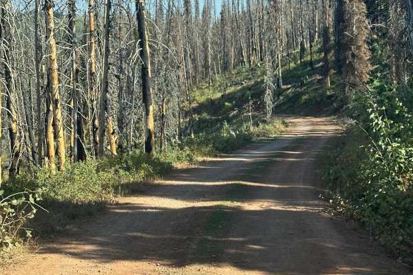
Elk Valley
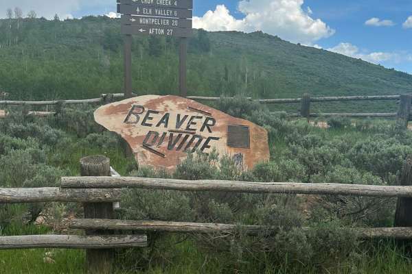
Elk Valley Road goes from Crow Creek Road to Camel Hollow Trail. You will travel on a forest road there is a small water crossing. Elk Valley has many ponds and marshes through the bottom you will see many different waterfowl. There are quite a few places to set up camp.
Learn more about Elk Valley
Crow Creek
This is a nice, well-maintained forest service road. There are plenty of camping sites, including a campground near the reservoir. Good fishing is available from shore or with a smaller boat. There are a few spurs throughout. No cell service is available, and there is some private property in the ar...
Learn more about Crow Creek
Cold Springs/Upper Dry Valley #5206
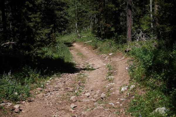
This is an easy 2.1-mile-long ATV route that gradually winds north through a pine forest and into an open valley. The path features small loose rocks, embedded rocks, shallow ruts, and uneven ground, with a grassy strip down the center of the two-track. The trail is gentle and meandering, with wide,...
Learn more about Cold Springs/Upper Dry Valley #5206
Beginner ATV trails near Osmond, Wyoming
Explore ATV-friendly trails near you. These trails are accessible for vehicles up to 50 inches wide, perfect for ATVs and smaller off-road machines.
Cottonwood
You access this road from County Road 153. Cottonwood Lake is at the top of the road. There is camping and fishing there as well. The road can be busy at times which can make it dusty. There are picnic areas with fire rings and tables next to the lake.
Learn more about Cottonwood
Swift Creek
This is a popular point-to-point road. Accessed from East Second Avenue in Afton. There is fishing and hiking along the trail. The popular Periodic spring trail is at the top of this road. It's a short 3/4 mile hike on an easy trail. There are a couple of small reservoirs for fishing as well as Swif...
Learn more about Swift Creek
Manning Creek
This is a point-to-point trail. It's a very scenic ride up the mountain with nice views overlooking the valley below in certain spots. There is a large open meadow at the top--a nice place to tent camp. The trail is very rutted with big muddy washes. If it's wet, it will be slick with minimal tracti...
Learn more about Manning Creek
Grover Park
This road will take you from the small town of Grover to a smaller area known as Turnerville. This road is graded every year but still has lots of washboards and potholes. That being said it is traveled regularly by the locals to go back and forth. There is plenty of camping and spurs to do some rec...
Learn more about Grover Park
Beginner UTV/side-by-side trails near Osmond, Wyoming
Find UTV and side-by-side trails near you. These trails accommodate vehicles up to 60 inches wide, ideal for UTVs, side-by-sides, and wider off-road rigs.
Cottonwood
You access this road from County Road 153. Cottonwood Lake is at the top of the road. There is camping and fishing there as well. The road can be busy at times which can make it dusty. There are picnic areas with fire rings and tables next to the lake.
Learn more about Cottonwood
Swift Creek
This is a popular point-to-point road. Accessed from East Second Avenue in Afton. There is fishing and hiking along the trail. The popular Periodic spring trail is at the top of this road. It's a short 3/4 mile hike on an easy trail. There are a couple of small reservoirs for fishing as well as Swif...
Learn more about Swift Creek
Manning Creek
This is a point-to-point trail. It's a very scenic ride up the mountain with nice views overlooking the valley below in certain spots. There is a large open meadow at the top--a nice place to tent camp. The trail is very rutted with big muddy washes. If it's wet, it will be slick with minimal tracti...
Learn more about Manning Creek
Grover Park
This road will take you from the small town of Grover to a smaller area known as Turnerville. This road is graded every year but still has lots of washboards and potholes. That being said it is traveled regularly by the locals to go back and forth. There is plenty of camping and spurs to do some rec...
Learn more about Grover Park
The onX Offroad Difference
onX Offroad combines trail photos, descriptions, difficulty ratings, width restrictions, seasonality, and more in a user-friendly interface. Available on all devices, with offline access and full compatibility with CarPlay and Android Auto. Discover what you're missing today!
Open Trail Map