
Beginner Off-Road Trails
Near Moro, Arkansas
Explore All Beginner Trails Near Moro, Arkansas
Beginner Off-Road Trails Near Moro, Arkansas
Discover the best beginner-friendly off-road trails near you. These easier, lower-rated trails are a great place to start — browse trail maps, check difficulty ratings, and find your next adventure.
Wolf Creek Trail
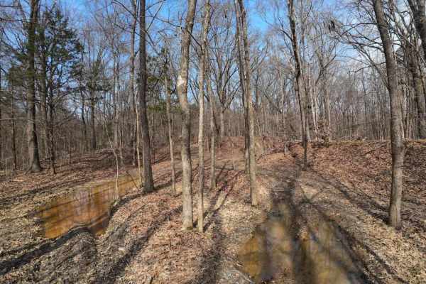
Starts as a hard ground trail entering the woods with shallow puddles and ruts. Ruts are not deep on this trail, so they're manageable. There is a small creek named Wolf Creek. It is shallow and not too soft. The rest of the trail goes deep into the woods through various rolling hills, but none too ...
Learn more about Wolf Creek Trail
Hurricane Creek Trail
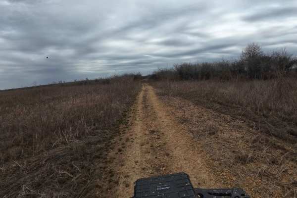
This trail is in the Arkabutla Lake Bottoms. This part of the lake does not flood due to the shutdown of the dam. The terrain is fairly flat with some small ruts, but nothing major. The trail does retain some water and makes it swampy in areas, but it's always pretty shallow and passable. Make sure ...
Learn more about Hurricane Creek Trail
Crawford's Point Trail
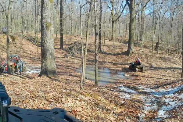
The trail starts at the Pleasant Hill Public Use Area. Follow the boat ramp to the end where there's a dirt trail and go south. Follow it around until you see the trail veering to the left. You will enter the woods from there on a good trail and follow it through rolling hills, small ditch crossings...
Learn more about Crawford's Point Trail

Hickahala Creek Trail
Start off in a wide area outside the parking area. From there, take the trail riding along the creek banks. It can be muddy at times, but it's hard ground. About half a mile down the trail, the trail becomes sandy. There are 2 small ditches to cross with very shallow water running in them. The ditch...
Learn more about Hickahala Creek Trail
Island Forty Road
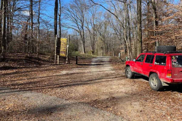
The Island Forty Road, is a dirt based road that traverses into the Shelby Wildlife Management Area which is part of the greater Meeman-Shelby State Park. The road is mostly dirt with a few patches of old gravel here and there, there is high potential the road will easily softened when rain or wet c...
Learn more about Island Forty Road
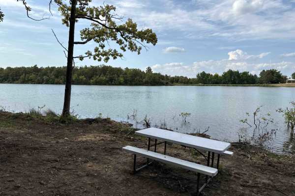
Plumeria Picnic
This smooth two track trail is used to access a scenic and secluded lakefront picnic area.
Learn more about Plumeria Picnic
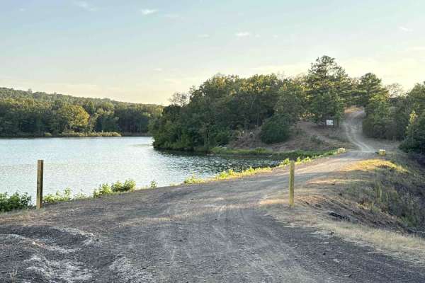
Ohana Trail
This two-track trail leads you from the park to the OHV trails area. Please go slowly near the lake until you are in the woods. At the top, there are some loose softball and football-sized rocks to watch for, but after you get down the hil,l it smooths out. One or two mud holes that are not deep. Th...
Learn more about Ohana Trail
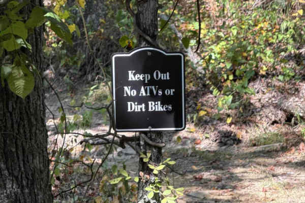
Kauai Lane
This connector from Mana Ridge to Ohana Trail offers access to several singletrack trails. This trail has some mild hills with ruts and loose rocks. It's a great spot to kick up the speed and knock the dirt off. At the east end, there is a closed trail heading to a part of the park that is under con...
Learn more about Kauai Lane
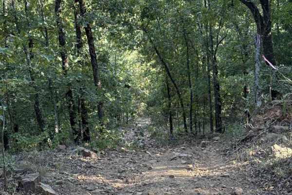
Iwa Ridge
This two-track ridge road starts near the lake and flows across the highest points of the park and ending at the west boundary. Rock gardens are common, as are steep hills with loose rocks. High point views are common when the leaves are down. Several connector trails branch off if you need to loop ...
Learn more about Iwa Ridge

Waterway Trail
Check in at the office before riding. Currently, this trail holds a lot of water when the lake rises after rain. It will remain closed except in case of emergency or in the summer when lake levels are lower and the mudholes dry up. 5ST does intersect with this trail multiple times and crossing at th...
Learn more about Waterway Trail
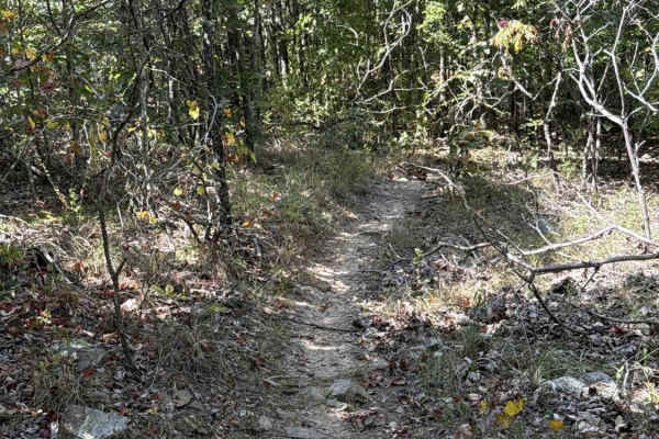
Pineapple Express
This fun, flowy singletrack connects Ohana Trail up to Mana Ridge. It maintains a smooth and gradual flow across mild slopes and shallow, seasonal water crossings. The eastern terminus of the trail is near a closed section of the park. Continue on Mana Ridge to other trails.
Learn more about Pineapple Express
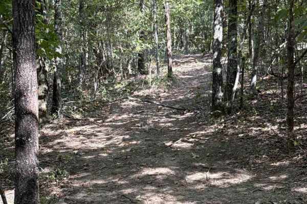
Nalu Run
Use this smooth two-track trail to avoid seasonal mud holes and flooding on Ohana Trail.
Learn more about Nalu Run
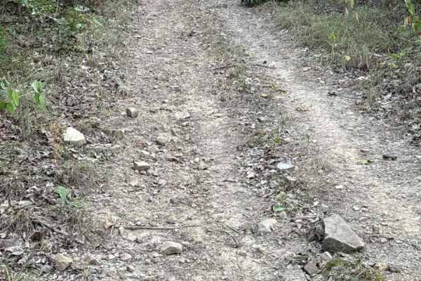
Palm's Way
This is a fun uphill connector with some loose rocks. Connects you from Kauai Lane to Mana Ridge on a gradual incline. The slope is mild and should not challenge any off-road vehicle. Be aware of dirt bikes, as there is a singletrack crossing on the trail about halfway to the top.
Learn more about Palm's Way
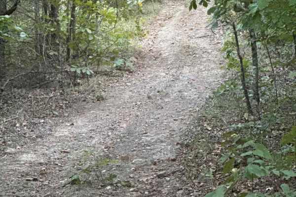
Hibiscus Hollow
This smooth connector trail includes an easy slope as the trail winds between Mana Ridge and Ohana Trail. Expect a mostly smooth trail with the occasional loose rock. Be on the lookout for dirt bikes, as there is a single-track intersection about halfway through the trail.
Learn more about Hibiscus Hollow
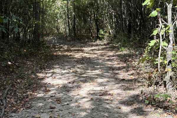
Bamboo Bend
This horseshoe-shaped connector loops from Ohana Trail and back to Ohana Trail, providing a connection to Kane's Spring Trail. It is an easy and smooth loop that should provide no challenge for any OHV unless it is excessively wet and there is a potential for mud.
Learn more about Bamboo Bend
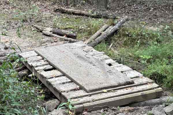
Honu Crossing
This trail jumps into a lowland area of the park where you'll find seasonal mud and water crossings, but overall is a reprieve from the rocky hillside nearby. There's even a bridge to help keep you out of the mud. Take a deep breath here as the nearby trails start to get serious on the hillside.
Learn more about Honu Crossing
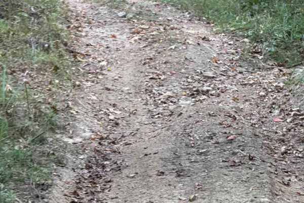
Kai Connector
This short connector is overall smooth but there is a rutted section that can be muddy during wet seasons. Use this to connect Ohana Trail to Iwa Ridge.
Learn more about Kai Connector
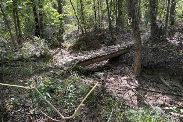
Aloha Loop
A mellow and flowy singletrack trail that takes you from the bottom of the hillside through a lowland area back towards the valley and crosses Ohana Trail twice. No major rocky sections or hill climbs but there is a water crossing with a bridge.
Learn more about Aloha Loop
Wiki Wiki Way
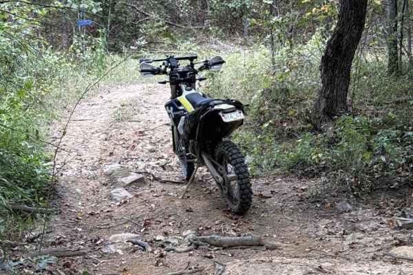
This trail is a great way to cut through the center of the park on something more exciting than Ohana without climbing the difficult hills up to Iwa Ridge. There is a seasonal water crossing that could be muddy, but no steep climbs. There are only some off-camber sections at the bottom of the hill.
Learn more about Wiki Wiki Way
Moana Way
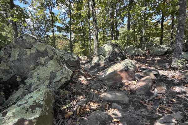
This is one of the longer singletrack trails in the park and, as such, includes a variety of terrain and obstacles but avoids the difficult hill on the north side of the park. This maintains good flow with mild hills and sights of rock boulders, seasonal water crossings, and log obstacles.
Learn more about Moana Way
Beginner ATV trails near Moro, Arkansas
Explore ATV-friendly trails near you. These trails are accessible for vehicles up to 50 inches wide, perfect for ATVs and smaller off-road machines.
Wolf Creek Trail
Starts as a hard ground trail entering the woods with shallow puddles and ruts. Ruts are not deep on this trail, so they're manageable. There is a small creek named Wolf Creek. It is shallow and not too soft. The rest of the trail goes deep into the woods through various rolling hills, but none too ...
Learn more about Wolf Creek Trail
Hurricane Creek Trail
This trail is in the Arkabutla Lake Bottoms. This part of the lake does not flood due to the shutdown of the dam. The terrain is fairly flat with some small ruts, but nothing major. The trail does retain some water and makes it swampy in areas, but it's always pretty shallow and passable. Make sure ...
Learn more about Hurricane Creek Trail
Crawford's Point Trail
The trail starts at the Pleasant Hill Public Use Area. Follow the boat ramp to the end where there's a dirt trail and go south. Follow it around until you see the trail veering to the left. You will enter the woods from there on a good trail and follow it through rolling hills, small ditch crossings...
Learn more about Crawford's Point Trail
Hickahala Creek Trail
Start off in a wide area outside the parking area. From there, take the trail riding along the creek banks. It can be muddy at times, but it's hard ground. About half a mile down the trail, the trail becomes sandy. There are 2 small ditches to cross with very shallow water running in them. The ditch...
Learn more about Hickahala Creek Trail
Beginner UTV/side-by-side trails near Moro, Arkansas
Find UTV and side-by-side trails near you. These trails accommodate vehicles up to 60 inches wide, ideal for UTVs, side-by-sides, and wider off-road rigs.
Wolf Creek Trail
Starts as a hard ground trail entering the woods with shallow puddles and ruts. Ruts are not deep on this trail, so they're manageable. There is a small creek named Wolf Creek. It is shallow and not too soft. The rest of the trail goes deep into the woods through various rolling hills, but none too ...
Learn more about Wolf Creek Trail
Hurricane Creek Trail
This trail is in the Arkabutla Lake Bottoms. This part of the lake does not flood due to the shutdown of the dam. The terrain is fairly flat with some small ruts, but nothing major. The trail does retain some water and makes it swampy in areas, but it's always pretty shallow and passable. Make sure ...
Learn more about Hurricane Creek Trail
Crawford's Point Trail
The trail starts at the Pleasant Hill Public Use Area. Follow the boat ramp to the end where there's a dirt trail and go south. Follow it around until you see the trail veering to the left. You will enter the woods from there on a good trail and follow it through rolling hills, small ditch crossings...
Learn more about Crawford's Point Trail
Hickahala Creek Trail
Start off in a wide area outside the parking area. From there, take the trail riding along the creek banks. It can be muddy at times, but it's hard ground. About half a mile down the trail, the trail becomes sandy. There are 2 small ditches to cross with very shallow water running in them. The ditch...
Learn more about Hickahala Creek Trail
The onX Offroad Difference
onX Offroad combines trail photos, descriptions, difficulty ratings, width restrictions, seasonality, and more in a user-friendly interface. Available on all devices, with offline access and full compatibility with CarPlay and Android Auto. Discover what you're missing today!
Open Trail Map