
Beginner Off-Road Trails
Near Matewan, West Virginia
Explore All Beginner Trails Near Matewan, West Virginia
Beginner Off-Road Trails Near Matewan, West Virginia
Discover the best beginner-friendly off-road trails near you. These easier, lower-rated trails are a great place to start — browse trail maps, check difficulty ratings, and find your next adventure.
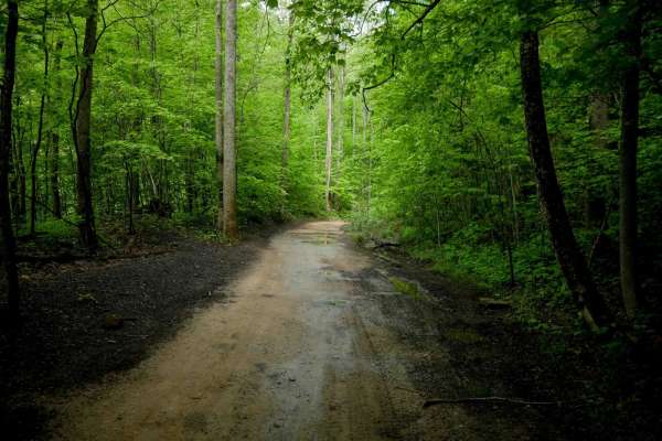
DA 18
DA 18 is a long, easy transfer trail featuring a wide path winding through lush forest with scenic rock walls and a tall, leafy canopy. Occasional downed trees and mud puddles may appear after storms, but the trail remains non-technical throughout. Its curvy layout is typical of the easier routes in...
Learn more about DA 18
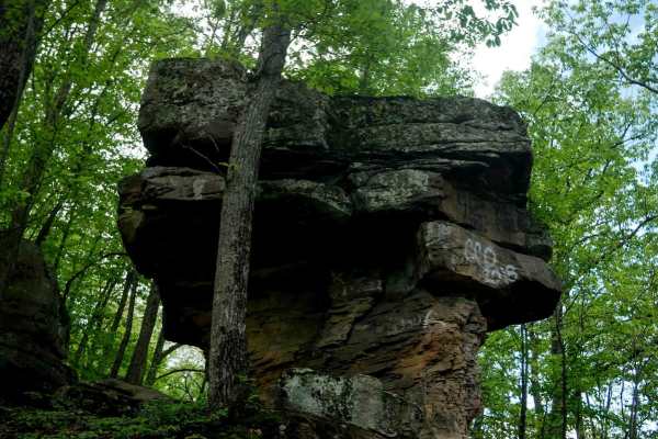
BM 17
BM 17 continues from BM 16 on a narrower, shelfy path wrapping around the hillside. It features minor ruts and embedded rock surfaces with a bit of loose rock. The dark, coal-like dirt adds to the unique feel of the trail. A short connector route, it passes a scenic rock formation on one of the corn...
Learn more about BM 17
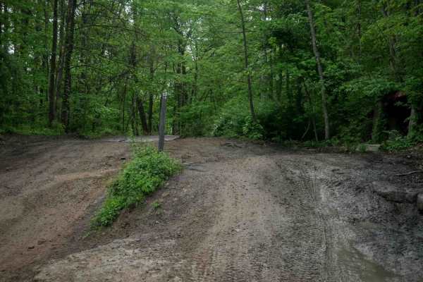
BM 13
BM 13 is a 4.3-mile easy-rated access corridor typical of the Buffalo Mountain system, offering wide, smooth, and graded terrain with room for two-way travel and excellent visibility. It features gradual grades, casual wide corners, and passes through lush forest with scenic rock walls, making it a ...
Learn more about BM 13
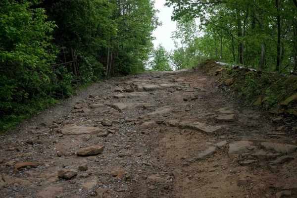
BM 26
BM 26, when approached from the north, begins as a narrow, shelf-like descent down the mountain with a mostly smooth surface and occasional rocky patches. It drops to the forest floor beside Lick Creek, where lush, jungle-like surroundings and intermittent water on the trail are the norm. The trail ...
Learn more about BM 26
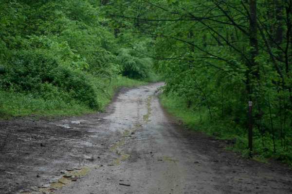
BM 20
BM 20 is a 5-mile, wide, easy access corridor that winds through lush forest with a high tree canopy and excellent visibility. The trail follows a curvy, shelfy path along the hillside beside scenic rock walls, passing a massive boulder that has fallen from the wall above. The trail maintains good w...
Learn more about BM 20
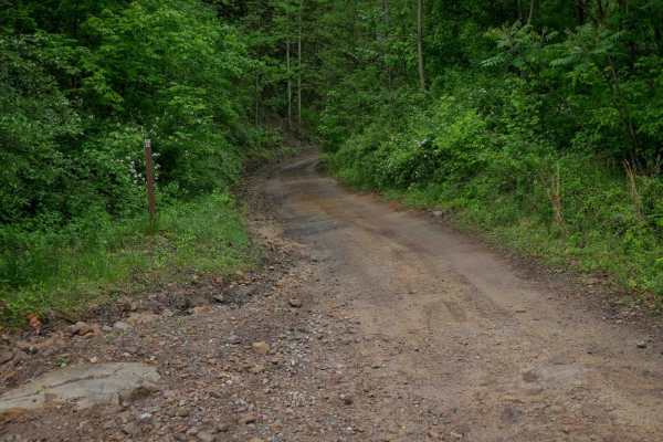
BM 22
BM 22 is a 2-mile easy connector descending down from the hilltops at trail 15, down to near Highway 52 and the intersection with trail 10. It offers a mostly wide path with occasional narrower sections, minor loose rock, and shallow ruts. The grades are gradual throughout, and the route passes alon...
Learn more about BM 22
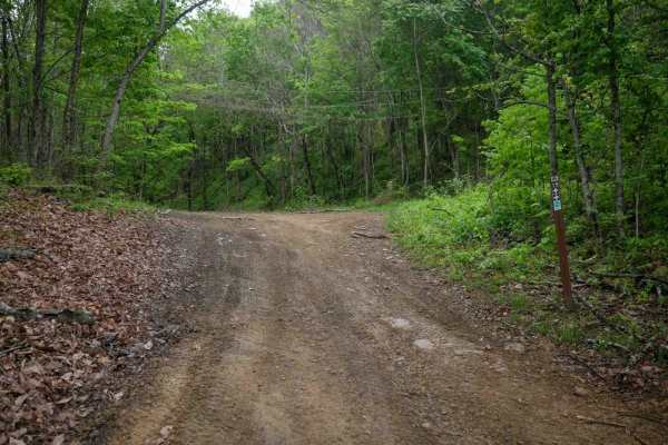
BM 19
BM 19 forms an easy 2.5-mile loop through lush forest with wide paths, scenic rocky cliffs, and dark coal-like soil in places. While mostly gradual with minimal elevation change, the trail includes narrower shelfy sections along the hillside. Riders should be prepared for occasional mud puddles and ...
Learn more about BM 19
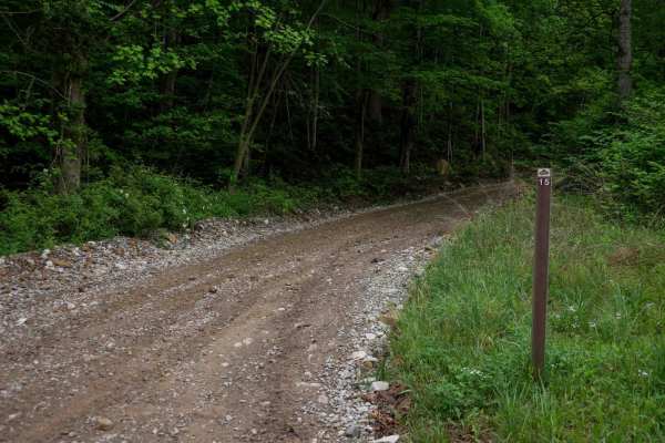
BM 15
BM 15 is a 4.8-mile access route in the Buffalo Mountain Trail System, offering a smooth, gradual ascent from the staging area into the hills. The trail begins as a wide, gravel path under consistent tree cover, narrowing slightly after the first intersection into a shelf-like track that curves alon...
Learn more about BM 15
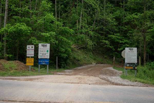
BM 11
Trail BM 11 is a 5-mile access corridor in the Buffalo Mountain Trail System, beginning from highway 52 and climbing steadily through a lush forest. It starts as a wide dirt trail with gradual, sweeping switchbacks, minor ruts, and waterbars. While there are a few narrower, rockier sections, the maj...
Learn more about BM 11
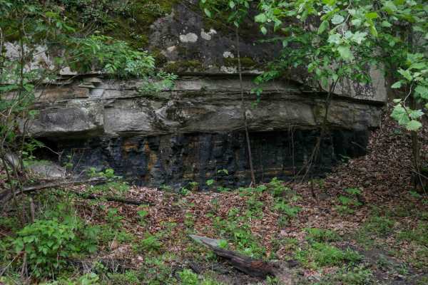
BM 12
BM 12 climbs from Highway 52 on the west end with a rutted ascent and tight switchbacks, then levels out into a wide shelfy path that serves as an easy access corridor. The 2.3-mile trail features minor ruts, multiple intersections, and scenic mossy rock walls, with good visibility and room for two-...
Learn more about BM 12
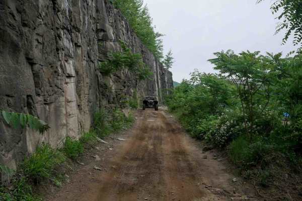
BM 10
BM 10 is a long, easy access route connecting the town of Williamson to the Buffalo Mountain Trail System. Primarily wide, smooth, and gradual with sweeping corners, it serves as a convenient community connector for riders seeking food, fuel, or access to trails on the far west side of the trail sys...
Learn more about BM 10
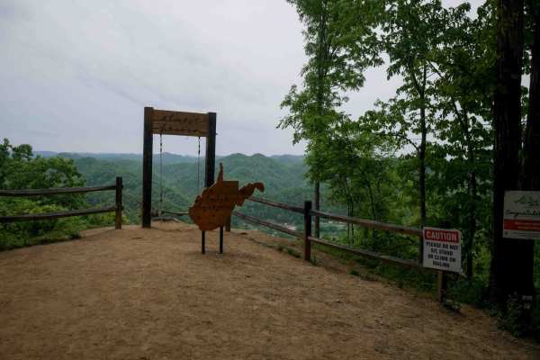
BM 36
BM 36 is a short but steep 0.8-mile climb from south to north, zigzagging up the mountainside on the far west side of the Buffalo Mountain Trail System near Williamson. The trail is narrow and winds through lush forest with tight switchbacks, loose rock, and shallow ruts. A scenic viewpoint on the n...
Learn more about BM 36
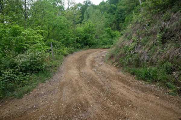
BM 37
BM 37 is a 0.6-mile connector between BM 36 and BM 10, offering an easy alternative route on the west side of the Buffalo Mountain Trail System. The trail passes a radio tower and runs beneath open skies along the power lines, with a wide, smooth, and gradual surface throughout. It's a simple, sceni...
Learn more about BM 37
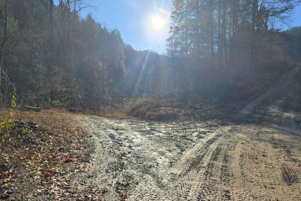
Right Fork of Hell's Creek to Hell's Knob
The elevation slowly climbs from the creek bed to the top of the mountain. The dirt is hard-packed with a couple of rocky spots. Anyone with experience can do this without worrying. This is another quick route to the hard top in a need-to situation.
Learn more about Right Fork of Hell's Creek to Hell's Knob
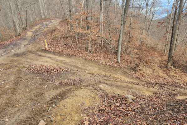
Emily Creek
This trail will take you from "mud hole point" down to the "Right Fork of Hell Creek" to gain quick access out of the hills for help or repair. It does not have any side rides to confuse you and is pretty straightforward.
Learn more about Emily Creek
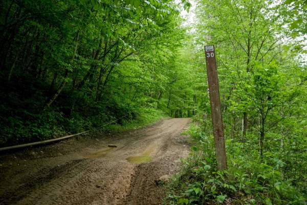
RH 30
RH 30 offers a 4.6-mile trail through a lush forest, characterized by its winding path and significant shade coverage. The trail features a gradual, mostly flat terrain with small climbs and descents, making it suitable for most skill levels. The route traverses a hillside with a shelf-like path and...
Learn more about RH 30
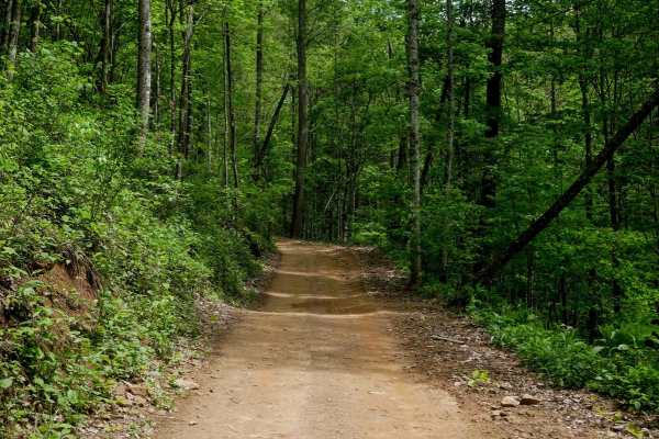
RH 34
RH 34 is a 1.6-mile north-to-south connector trail that curves along a shelfy hillside with gradual switchbacks, shallow ruts, and occasional loose rock. The trail features a moderately steep climb when ridden south to north, winding through leafy birch trees and passing scenic rock walls. It remain...
Learn more about RH 34
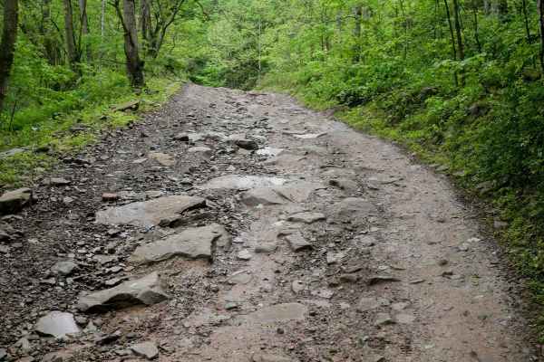
RH 19
RH 19 is a 5.7-mile trail that offers an easy, scenic ride along the mountainside with wide, shallow ruts and loose rock throughout. The route features a gradual climb and descent near the east end, with some steeper turns and occasional narrower segments. Riders will enjoy views of rooty, moss-cove...
Learn more about RH 19
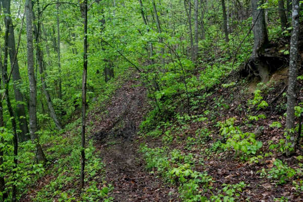
RH 197
RH 197 is a moderately easy single-track trail that traverses a shelf along the hillside, offering a scenic and semi-steep ride through lush forest. Acting as a useful bailout route from RH 199 before the most technical sections, RH 197 is mostly mellow with a few steeper spots. The trail surface in...
Learn more about RH 197
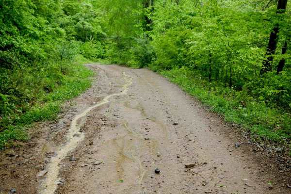
RH 14
RH 14 is a 2.7-mile trail that winds through lush, jungle-like terrain with a super curvy and gradual layout. The trail features gentle rolling hills, minor rock and ruts, and a mix of wider and narrower segments, making it easy and enjoyable for all skill levels. It's just a fun and easy addition t...
Learn more about RH 14
Beginner ATV trails near Matewan, West Virginia
Explore ATV-friendly trails near you. These trails are accessible for vehicles up to 50 inches wide, perfect for ATVs and smaller off-road machines.
DA 18
DA 18 is a long, easy transfer trail featuring a wide path winding through lush forest with scenic rock walls and a tall, leafy canopy. Occasional downed trees and mud puddles may appear after storms, but the trail remains non-technical throughout. Its curvy layout is typical of the easier routes in...
Learn more about DA 18
BM 17
BM 17 continues from BM 16 on a narrower, shelfy path wrapping around the hillside. It features minor ruts and embedded rock surfaces with a bit of loose rock. The dark, coal-like dirt adds to the unique feel of the trail. A short connector route, it passes a scenic rock formation on one of the corn...
Learn more about BM 17
BM 13
BM 13 is a 4.3-mile easy-rated access corridor typical of the Buffalo Mountain system, offering wide, smooth, and graded terrain with room for two-way travel and excellent visibility. It features gradual grades, casual wide corners, and passes through lush forest with scenic rock walls, making it a ...
Learn more about BM 13
BM 26
BM 26, when approached from the north, begins as a narrow, shelf-like descent down the mountain with a mostly smooth surface and occasional rocky patches. It drops to the forest floor beside Lick Creek, where lush, jungle-like surroundings and intermittent water on the trail are the norm. The trail ...
Learn more about BM 26
Beginner UTV/side-by-side trails near Matewan, West Virginia
Find UTV and side-by-side trails near you. These trails accommodate vehicles up to 60 inches wide, ideal for UTVs, side-by-sides, and wider off-road rigs.
DA 18
DA 18 is a long, easy transfer trail featuring a wide path winding through lush forest with scenic rock walls and a tall, leafy canopy. Occasional downed trees and mud puddles may appear after storms, but the trail remains non-technical throughout. Its curvy layout is typical of the easier routes in...
Learn more about DA 18
BM 17
BM 17 continues from BM 16 on a narrower, shelfy path wrapping around the hillside. It features minor ruts and embedded rock surfaces with a bit of loose rock. The dark, coal-like dirt adds to the unique feel of the trail. A short connector route, it passes a scenic rock formation on one of the corn...
Learn more about BM 17
BM 13
BM 13 is a 4.3-mile easy-rated access corridor typical of the Buffalo Mountain system, offering wide, smooth, and graded terrain with room for two-way travel and excellent visibility. It features gradual grades, casual wide corners, and passes through lush forest with scenic rock walls, making it a ...
Learn more about BM 13
BM 26
BM 26, when approached from the north, begins as a narrow, shelf-like descent down the mountain with a mostly smooth surface and occasional rocky patches. It drops to the forest floor beside Lick Creek, where lush, jungle-like surroundings and intermittent water on the trail are the norm. The trail ...
Learn more about BM 26
The onX Offroad Difference
onX Offroad combines trail photos, descriptions, difficulty ratings, width restrictions, seasonality, and more in a user-friendly interface. Available on all devices, with offline access and full compatibility with CarPlay and Android Auto. Discover what you're missing today!
Open Trail Map