
Beginner Off-Road Trails
Near Louisville, Georgia
Explore All Beginner Trails Near Louisville, Georgia
Beginner Off-Road Trails Near Louisville, Georgia
Discover the best beginner-friendly off-road trails near you. These easier, lower-rated trails are a great place to start — browse trail maps, check difficulty ratings, and find your next adventure.
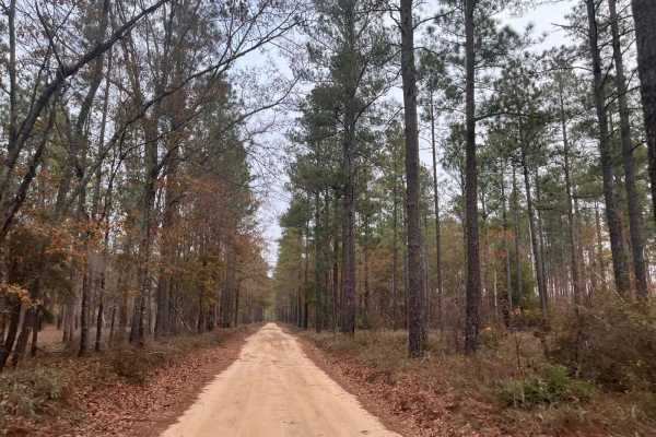
Kathwood Trail
This short trail within the Savannah River Water District offers several opportunities to explore the old river basin. While out on the trail, you will pass the Audubon Sanctuary and see the ruins of an old grist mill forgotten to time as you ride on the ancient seashore of the Atlantic Ocean. On on...
Learn more about Kathwood Trail
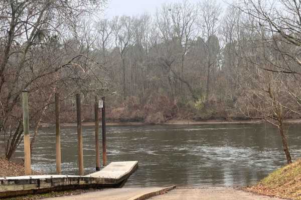
Landing Road
Landing Road takes you back through the flood basin of the Savannah River. This sandy road is a down and back that is well maintained and two lanes wide. You will see the swamps with large cypress trees emerging from the black water. You will encounter farmland as well as crossing over some railroad...
Learn more about Landing Road
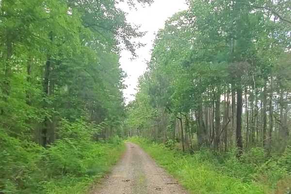
Hopewell Church - Lost wilderness traverse (661/669B)
This trail consists of two well-maintained dirt roads that cross the southern portion of the Sumter National Forest. Muddy conditions can be expected during the rainy season with possible down trees. The roads seem to be well maintained and can be traveled with most vehicles during any season.
Learn more about Hopewell Church - Lost wilderness traverse (661/669B)
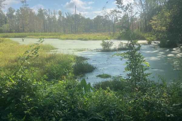
Fury's Ferry Boat Ramp
This short trail takes you down to the South Carolina Side of the Savannah River. You will pass some very swampy areas on both sides of the road. If you stop looking at the wildlife, make sure you watch for Alligators. This is a great trail to hit if you are out for a day of exploring and want a ni...
Learn more about Fury's Ferry Boat Ramp
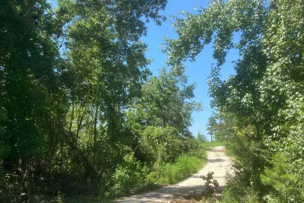
Mason Wildlife Trail South
The trail begins as gravel but quickly transitions to a dirt path with grass in the center. Located in a Wildlife Management Area used for hunting, it’s best to visit on Sundays when hunting is prohibited. Expect frequent small mud holes, as the trail can become very muddy. Taking the first right fo...
Learn more about Mason Wildlife Trail South
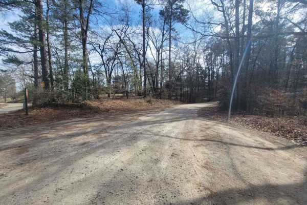
Chota Drive (636)
This route is a dirt road with a split, both leading to the Savannah River and are frequented by fishing enthusiasts. A high-clearance vehicle is required on this drive due to some washed-out areas and some mud, depending on recent weather conditions. Going right at the split will lead you to the po...
Learn more about Chota Drive (636)
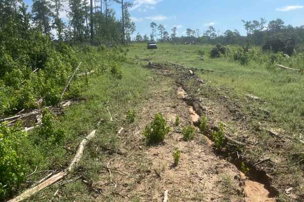
Mason Wildlife Trail North
Most of this trail is a single lane with several muddy patches and occasional ruts that require careful navigation. A four-wheel-drive vehicle is essential unless it hasn’t rained for weeks. Expect multiple mud holes, the deepest around eight inches, with some areas prone to sticky, deep mud—exercis...
Learn more about Mason Wildlife Trail North
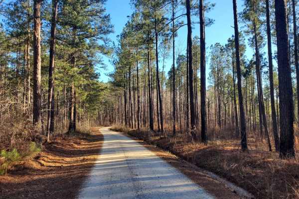
Markert Road (662)
This short route is a well-maintained service road that follows a large-scale mountain bike trail system. The offshoot towards the end (662D) leads to a popular fishing spot on the Savannah River. Any vehicle should be able to explore all portions of this route without issue and is a prime location...
Learn more about Markert Road (662)
Woodlawn D
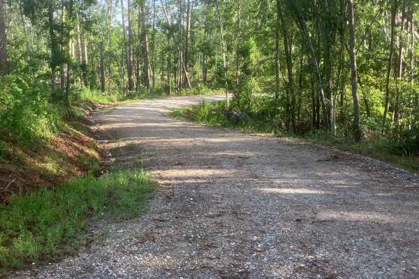
This beautiful, short trail offers scenic views along its path. It follows a well-maintained forest road, wide enough to allow two full-sized 4x4 vehicles to pass comfortably. Although it doesn't provide an off-road challenge, the trail gives visitors a captivating glimpse deep into the Sumter Natio...
Learn more about Woodlawn D

Hosannah Road (643-643A)
This short route travels through a portion of the Sumter National Forest. The road is a well-maintained service road that provides beautiful scenery and is accessible with minimal vehicle clearance. Logging may be encountered throughout the route as it is normal practice in the area of the National ...
Learn more about Hosannah Road (643-643A)
McCain Road (658)
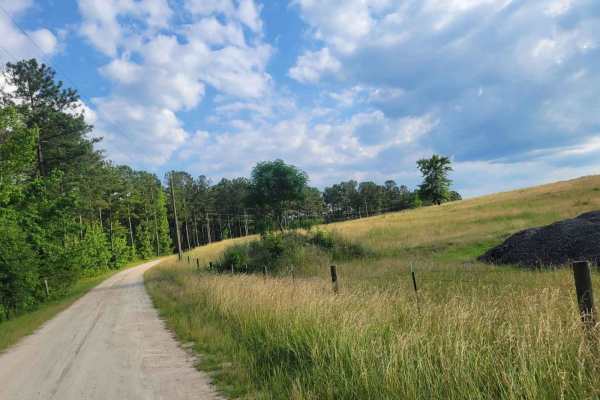
This short dirt road within the Sumter National Forest provides several opportunities to explore routes less traveled. Throughout the road, you will encounter little to no obstacles along the main route. The end of the road ends in a dead end however drivers who wish can push a little further to the...
Learn more about McCain Road (658)
Dry Branch (673) and Garret B (635B)
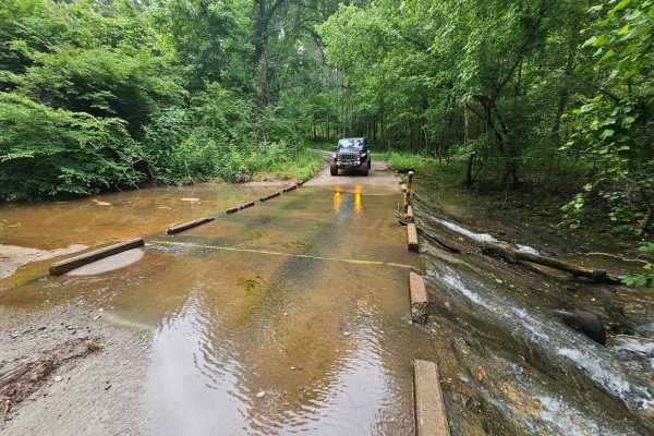
Dry Branch (673) and Garret B (635B) are well-maintained service roads within the Sumter National Forest. Both roads offer a scenic driving experience for any vehicle under most conditions. Throughout the route, muddy conditions can be expected when rainfall has occurred. The water crossing is not d...
Learn more about Dry Branch (673) and Garret B (635B)
Briarpatch Lake Access
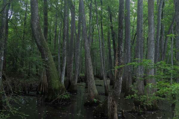
This route is entirely within the Tuckahoe Wildlife Management Area, a 15,000-acre property bordering the Savannah River. A fishing and/or hunting license is required to legally enter the property and can be obtained via georgiawildlife.com/tuckahoe-wma. Camping is only permitted in one of the two d...
Learn more about Briarpatch Lake Access

Oak Grove Methodist Church
This route is entirely within the Tuckahoe Wildlife Management Area, a 15,000-acre property bordering the Savannah River. This route spurs from Pine Grove Inn Road and leads to the Old Oak Grove Methodist Church. The church was established in 1876 after the Civil War and was a center of religion for...
Learn more about Oak Grove Methodist Church

Horn Creek (638) via Prescott Road
This route follows Prescott Road, taking a left onto Horn Creek Road (638). Throughout this road, travelers will encounter well-maintained roads with minimal to no obstacles. At the end of Horn Creek Road, there is a path leading down to Dry Creek that can be explored by more adventurous off-roaders...
Learn more about Horn Creek (638) via Prescott Road
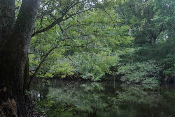
Collard Patch Lake Access
This route is entirely within the Tuckahoe Wildlife Management Area, a 15,000-acre property bordering the Savannah River. A fishing and/or hunting license is required to legally enter the property and can be obtained via georgiawildlife.com/tuckahoe-wma. Camping is only permitted in one of the two d...
Learn more about Collard Patch Lake Access

Stevens Creek (632)
Stevens Creed Road (632) traverses a portion of the Sumter National Forest, leading to the Modoc Hiking Trailhead. The majority of the road is well maintained however, rutty road conditions may be encountered throughout with some large mud holes that cannot be avoided depending on recent weather con...
Learn more about Stevens Creek (632)
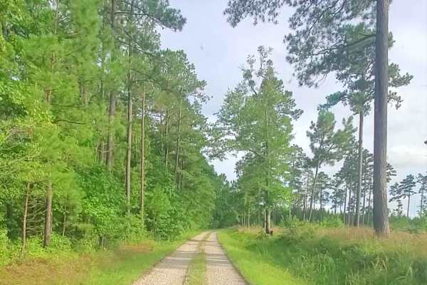
Lick Fork Road
Lick Ford Road is a maintained road that leads to Forestry Road 681A. This road is well maintained with minimal obstacles. Some rutty portions do exist, with some holes that can create mud. The end of the trails dead ends in a wooded location. There is a less traveled trail that pushes further that ...
Learn more about Lick Fork Road
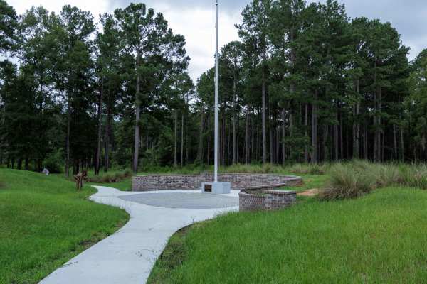
Brier Creek Access
This route is entirely within the Tuckahoe Wildlife Management Area, a 15,000-acre property bordering the Savannah River. A fishing and/or hunting license is required to legally enter the property and can be obtained via georgiawildlife.com/tuckahoe-wma. Camping is only permitted in one of the two d...
Learn more about Brier Creek Access
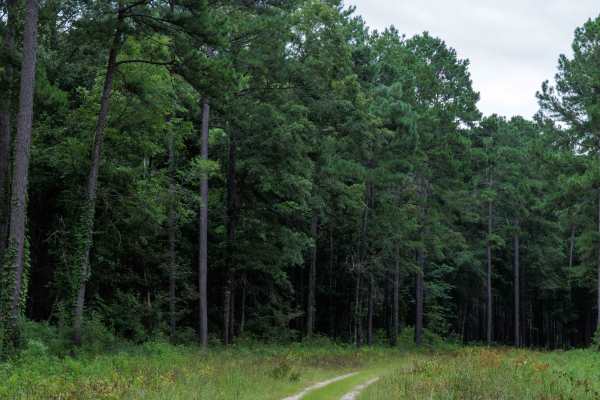
Clay Hill
This route is entirely within the Tuckahoe Wildlife Management Area, a 15,000-acre property bordering the Savannah River. A fishing and/or hunting license is required to legally enter the property and can be obtained via georgiawildlife.com/tuckahoe-wma. Camping is only permitted in one of the two d...
Learn more about Clay Hill
Beginner ATV trails near Louisville, Georgia
Explore ATV-friendly trails near you. These trails are accessible for vehicles up to 50 inches wide, perfect for ATVs and smaller off-road machines.
Fury's Ferry Boat Ramp
This short trail takes you down to the South Carolina Side of the Savannah River. You will pass some very swampy areas on both sides of the road. If you stop looking at the wildlife, make sure you watch for Alligators. This is a great trail to hit if you are out for a day of exploring and want a ni...
Learn more about Fury's Ferry Boat Ramp
Mason Wildlife Trail South
The trail begins as gravel but quickly transitions to a dirt path with grass in the center. Located in a Wildlife Management Area used for hunting, it’s best to visit on Sundays when hunting is prohibited. Expect frequent small mud holes, as the trail can become very muddy. Taking the first right fo...
Learn more about Mason Wildlife Trail South
Mason Wildlife Trail North
Most of this trail is a single lane with several muddy patches and occasional ruts that require careful navigation. A four-wheel-drive vehicle is essential unless it hasn’t rained for weeks. Expect multiple mud holes, the deepest around eight inches, with some areas prone to sticky, deep mud—exercis...
Learn more about Mason Wildlife Trail North
Woodlawn D
This beautiful, short trail offers scenic views along its path. It follows a well-maintained forest road, wide enough to allow two full-sized 4x4 vehicles to pass comfortably. Although it doesn't provide an off-road challenge, the trail gives visitors a captivating glimpse deep into the Sumter Natio...
Learn more about Woodlawn D
Beginner UTV/side-by-side trails near Louisville, Georgia
Find UTV and side-by-side trails near you. These trails accommodate vehicles up to 60 inches wide, ideal for UTVs, side-by-sides, and wider off-road rigs.
Fury's Ferry Boat Ramp
This short trail takes you down to the South Carolina Side of the Savannah River. You will pass some very swampy areas on both sides of the road. If you stop looking at the wildlife, make sure you watch for Alligators. This is a great trail to hit if you are out for a day of exploring and want a ni...
Learn more about Fury's Ferry Boat Ramp
Mason Wildlife Trail South
The trail begins as gravel but quickly transitions to a dirt path with grass in the center. Located in a Wildlife Management Area used for hunting, it’s best to visit on Sundays when hunting is prohibited. Expect frequent small mud holes, as the trail can become very muddy. Taking the first right fo...
Learn more about Mason Wildlife Trail South
Mason Wildlife Trail North
Most of this trail is a single lane with several muddy patches and occasional ruts that require careful navigation. A four-wheel-drive vehicle is essential unless it hasn’t rained for weeks. Expect multiple mud holes, the deepest around eight inches, with some areas prone to sticky, deep mud—exercis...
Learn more about Mason Wildlife Trail North
Briarpatch Lake Access
This route is entirely within the Tuckahoe Wildlife Management Area, a 15,000-acre property bordering the Savannah River. A fishing and/or hunting license is required to legally enter the property and can be obtained via georgiawildlife.com/tuckahoe-wma. Camping is only permitted in one of the two d...
Learn more about Briarpatch Lake Access
The onX Offroad Difference
onX Offroad combines trail photos, descriptions, difficulty ratings, width restrictions, seasonality, and more in a user-friendly interface. Available on all devices, with offline access and full compatibility with CarPlay and Android Auto. Discover what you're missing today!
Open Trail Map