
Beginner Off-Road Trails
Near Lincoln, Alabama
Explore All Beginner Trails Near Lincoln, Alabama
Beginner Off-Road Trails Near Lincoln, Alabama
Discover the best beginner-friendly off-road trails near you. These easier, lower-rated trails are a great place to start — browse trail maps, check difficulty ratings, and find your next adventure.
32
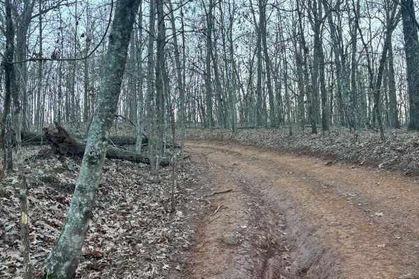
Trail 32 was mostly flat with no really any difficult areas with obstacles. This trail connects Trail 30 to Trail 33. This is an easy route to take to get back to the parking lot if you are hauling a broken machine or need to get off of Trail 30 quickly.
Learn more about 32
33A
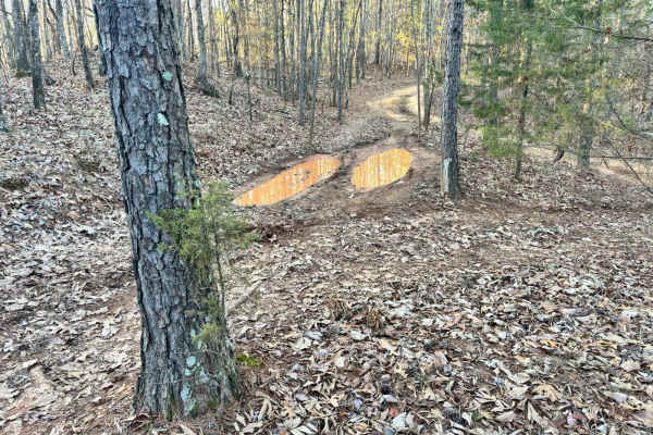
Trail 33A was a short connector trail from Trail 30 to Trail 33. This trail was put in as a by-pass around one of the difficult obstacle areas along Trail 30. Trail 33A did not have any difficult areas and no obstacles. One muddy area was found that may even be dry during the summer.
Learn more about 33A
26
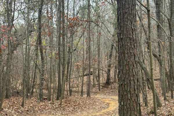
Trail 26 is a connector trail from the 5 hills climb area to Trail 30. Trail 26 is fairly easy with no very steep grades or tight spots. This is a shorter trail that is all dirt. It is a connector trail from 5 hills climbing area to a midpoint spot along the west side of Trail 30.
Learn more about 26
33B
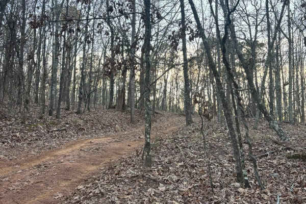
Trail 33B was a dirt trail that connects Trail 33 to Trail 30. It had no rough obstacles other than a few loose stones, and large rocks to cross over, but no ledges and no tight areas to work around. This is a good by-pass trail for a part of Trail 30.
Learn more about 33B
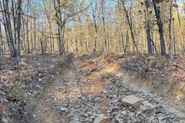
27A
Trail 27 was an easier trail with some tight areas to work around trees. This is a bypass trail for trail 27, but difficulty-wise they are pretty even, other than weaving around trees. There are no ruts or rock obstacles to get through this trail. It connects Trail 24 to Trail 30.
Learn more about 27A
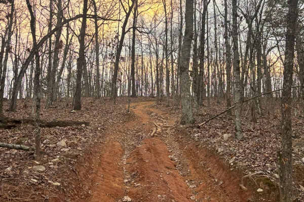
25A
Trail 25A went up from Trail 33 to Trail 25 at the overlook. It is a separate path from the overlook to take you back towards the grid. It is a rocky pathway that has a grade along the whole path. There are some rutted-out areas along its route.
Learn more about 25A
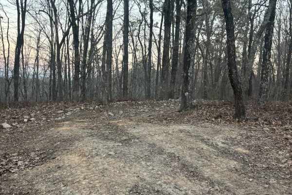
35A
Trail 35A is a connector trail from Lincoln View Trail to Trail 34 and Trail 30. This is a pretty easy trail with one tight spot to work around with trees. No rough rock obstacles or rutted-out areas. This trail is mostly dirt and used as a by-pass on a section of Trail 30.
Learn more about 35A
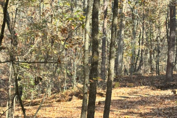
29
Trail 29 is a dirt connector trail from Trail 24 to Trail 30. It has one tight corner in it, I wouldn't take a vehicle over 100 inches through it, but this is a very short track. You can also take Trail 21 to get to the same area, and it is a little wider.
Learn more about 29
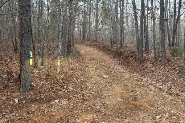
35
Trail 35 goes from Trail 33 to Trail 30. It is not a difficult trail. All points are wide enough for your vehicle to easily pass through and there are no steep grades, no rutted out areas, and no rock obstacles. This trail was an easy path to get off Trail 30.
Learn more about 35
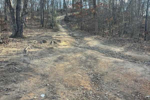
23A
Trail 23A connects from the top of the five hills area to Trail 23. It does not have any difficult obstacles to cross, just a steep incline and decline areas. This route is dirt with rocks along the route. A full-size vehicle fit through the trail, but not multiple side-by-side.
Learn more about 23A
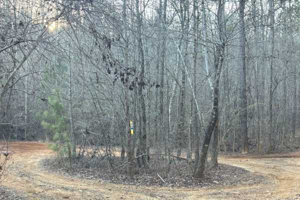
36
Trail 36 is a connector trail from Trail 30 to Trail 42. This trail takes you back to the grid quickly and is easy with no major ruts or rock obstacles along the route. This trail is wide enough for multiple vehicles at a time and has no steep grades.
Learn more about 36
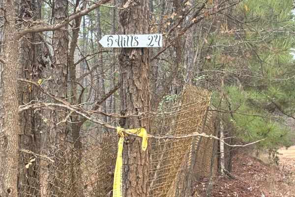
24A
Trail 24A is a connector trail from Trail 24 to Trail 18, which goes around the grid. It is just a dirt path that is large enough for more than one vehicle to pass by each other. Trail 24A will take you to the 5 Hills competition area. This is usually the most traveled path to take to get to the com...
Learn more about 24A
24
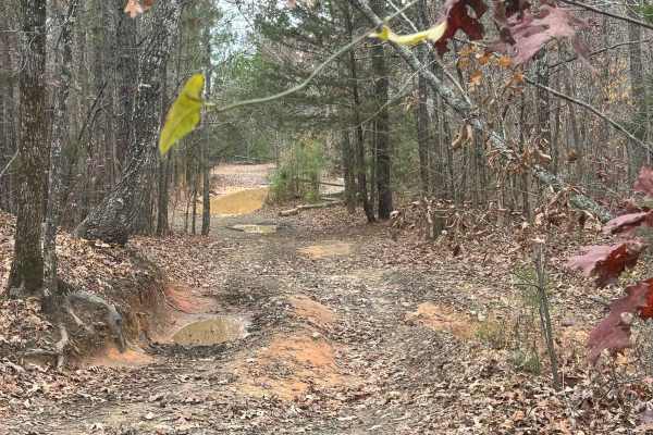
Trail 24 is a connector trail that goes from the back side of the grid to the hill climb competition area. This is also the area where they do the downhill Barbie jeep race during events. The area is known as "5 Hills", and is a great place to watch people climb these really rough rock obstacles. Th...
Learn more about 24
42
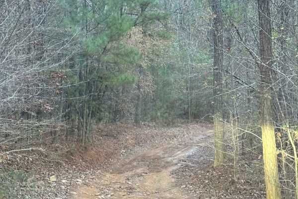
Trail 42 was a moderately easy trail with only one section that had some ruts to maneuver around. We took the trail at a pretty fast pace. The trail was also wide enough for 2 vehicles along most of the route. It connects Trail 11/Annex Road, to Trail 24.
Learn more about 42
10
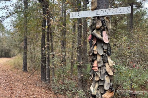
This is a main gravel road in the grid-connected Trail 20 (the front of the grid), to Trail 18, (the back of the grid). Trail 19 intersects at the halfway point. Bunkers/Rental spots are located along the route. Trails 54 and 52 can also be accessed on this road. You can also find the tree of lost s...
Learn more about 10
5
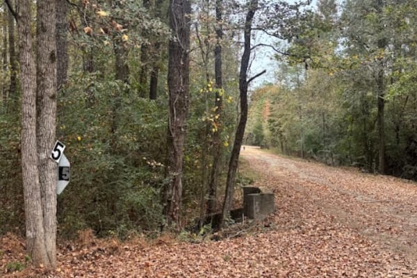
This main road houses several rental camp spots and rented bunkers along its path. It connects the front of the park, Trail 20, to the back of the grid, Trail 18. It also intersects with Trail 19 at around the midway point.
Learn more about 5
6
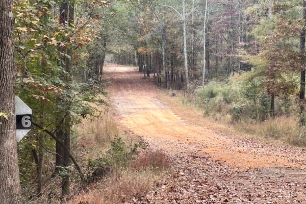
This main road on the grid takes you from the front of the park, Trail 20, to the back of the grid, Trail 18. This route also houses several rental bunkers and campsites. Trail 19 intersects at around the midpoint of the trail as well. There is no difficulty on this route.
Learn more about 6
7
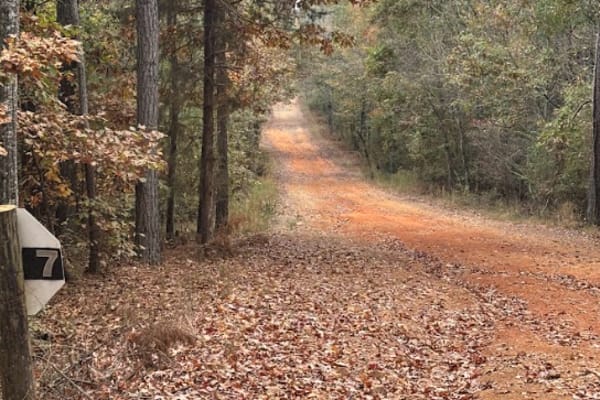
Trail 7 will take you from Trail 20 (the front road of the park) to the back of the grid, Trail 18. It also intersects Trail 19 and the railroad at about the midway point. There are rental bunkers and campsites along this route as well. There are 3 main primitive camp areas on this road as well.
Learn more about 7
24B
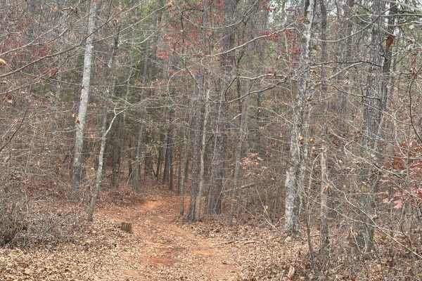
Trail 24B is a very tight connector trail with a lot of branches. The trail needs to be trimmed up. It connects from the top of the grid to Trail 24, which will take you to the Five Hills competition area. We took a full-size vehicle down this trail, but preference is for Sxs and atv's, or you will ...
Learn more about 24B
55A
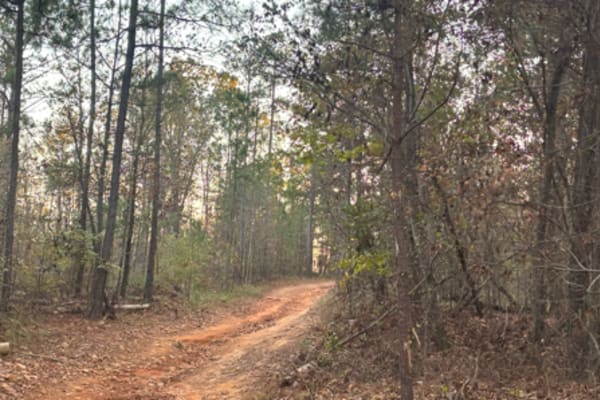
Super easy dirt track with no difficult areas. It did have some mudholes located around it that could be difficult depending on the vehicle you are in, and if it is a wet or dry season. The trail is very short, and goes from the parking lot north, to the bunker "J" on trail 12.
Learn more about 55A
Beginner ATV trails near Lincoln, Alabama
Explore ATV-friendly trails near you. These trails are accessible for vehicles up to 50 inches wide, perfect for ATVs and smaller off-road machines.
32
Trail 32 was mostly flat with no really any difficult areas with obstacles. This trail connects Trail 30 to Trail 33. This is an easy route to take to get back to the parking lot if you are hauling a broken machine or need to get off of Trail 30 quickly.
Learn more about 32
33A
Trail 33A was a short connector trail from Trail 30 to Trail 33. This trail was put in as a by-pass around one of the difficult obstacle areas along Trail 30. Trail 33A did not have any difficult areas and no obstacles. One muddy area was found that may even be dry during the summer.
Learn more about 33A
26
Trail 26 is a connector trail from the 5 hills climb area to Trail 30. Trail 26 is fairly easy with no very steep grades or tight spots. This is a shorter trail that is all dirt. It is a connector trail from 5 hills climbing area to a midpoint spot along the west side of Trail 30.
Learn more about 26
33B
Trail 33B was a dirt trail that connects Trail 33 to Trail 30. It had no rough obstacles other than a few loose stones, and large rocks to cross over, but no ledges and no tight areas to work around. This is a good by-pass trail for a part of Trail 30.
Learn more about 33B
Beginner UTV/side-by-side trails near Lincoln, Alabama
Find UTV and side-by-side trails near you. These trails accommodate vehicles up to 60 inches wide, ideal for UTVs, side-by-sides, and wider off-road rigs.
32
Trail 32 was mostly flat with no really any difficult areas with obstacles. This trail connects Trail 30 to Trail 33. This is an easy route to take to get back to the parking lot if you are hauling a broken machine or need to get off of Trail 30 quickly.
Learn more about 32
33A
Trail 33A was a short connector trail from Trail 30 to Trail 33. This trail was put in as a by-pass around one of the difficult obstacle areas along Trail 30. Trail 33A did not have any difficult areas and no obstacles. One muddy area was found that may even be dry during the summer.
Learn more about 33A
26
Trail 26 is a connector trail from the 5 hills climb area to Trail 30. Trail 26 is fairly easy with no very steep grades or tight spots. This is a shorter trail that is all dirt. It is a connector trail from 5 hills climbing area to a midpoint spot along the west side of Trail 30.
Learn more about 26
33B
Trail 33B was a dirt trail that connects Trail 33 to Trail 30. It had no rough obstacles other than a few loose stones, and large rocks to cross over, but no ledges and no tight areas to work around. This is a good by-pass trail for a part of Trail 30.
Learn more about 33B
The onX Offroad Difference
onX Offroad combines trail photos, descriptions, difficulty ratings, width restrictions, seasonality, and more in a user-friendly interface. Available on all devices, with offline access and full compatibility with CarPlay and Android Auto. Discover what you're missing today!
Open Trail Map