
Beginner Off-Road Trails
Near Keystone, West Virginia
Explore All Beginner Trails Near Keystone, West Virginia
Beginner Off-Road Trails Near Keystone, West Virginia
Discover the best beginner-friendly off-road trails near you. These easier, lower-rated trails are a great place to start — browse trail maps, check difficulty ratings, and find your next adventure.
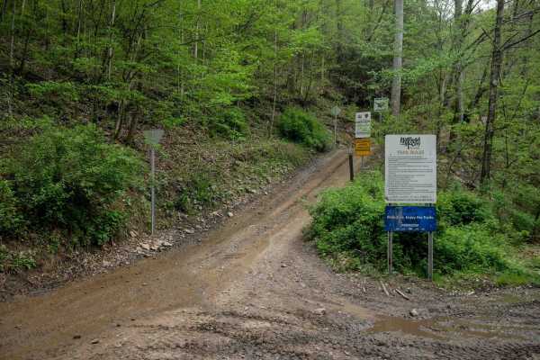
IR 19
Trail 19 is a 5.4-mile route that climbs and descends through a lush, scenic forest. Starting from the north end, it ascends with a series of wide, steep switchbacks with space to maneuver. The trail surface features dark, coal-like dirt with occasional embedded rock and loose stone. As the climb co...
Learn more about IR 19
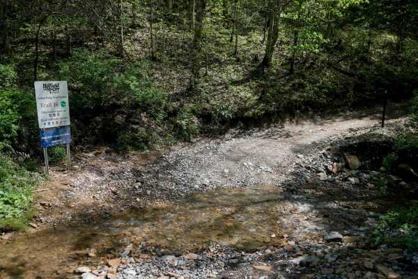
IR 16
Trail 16 is a 4.4-mile connector that links the east and west halves of the Indian Ridge Trail System. It's an overall easy route, with minor ruts, loose rock, and some shelfy, narrow sections--especially around sweeping corners and hairpin switchbacks where riders should watch for oncoming traffic....
Learn more about IR 16
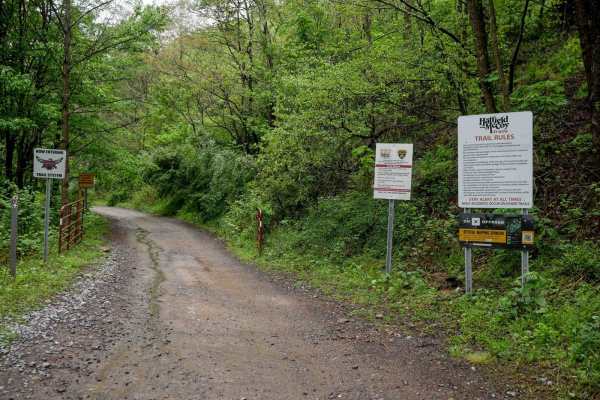
IR 12
Indian Ridge 12 begins at the Indian Ridge Staging Area. It climbs out from the parking area with a large hairpin switchback and passes a scenic waterfall and several trail intersections. The route winds through a lush forest with dark coal dirt, featuring shelfy sections along the hillside, some bl...
Learn more about IR 12
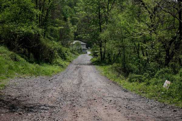
IR 18
Trail 18 begins near the official Indian Ridge trailhead, heads south, passes several campsites on a graded gravel road, before continuing past the Ashland Company Store. After crossing the street, the trail officially starts at the large trail sign. It's a wide path with loose rock, gradually climb...
Learn more about IR 18
Belcher Ridge Run
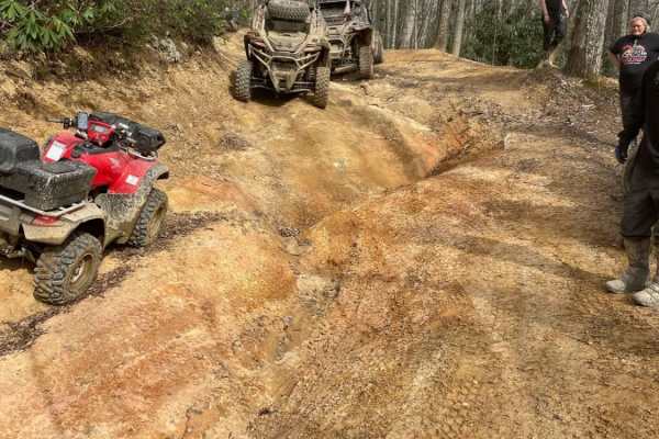
This trail has everything you want in an awesome trail with the exception of a water crossing. This trail is best traveled west to east for a few reasons. First: food and drink are on the east side. Second: the difficult/exciting stuff is on the west side, and it's best to get through it first. Thir...
Learn more about Belcher Ridge Run
OP 37
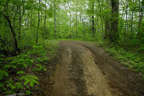
OP 37 forms a 1.6-mile loop on the north end of the Original Pocahontas trail system, with several moderate spurs connecting its north and south segments. This easy trail features flat terrain with shallow ruts, occasional mud puddles, and a smooth, winding shelf path cut into the hillside. It paral...
Learn more about OP 37
OP 39
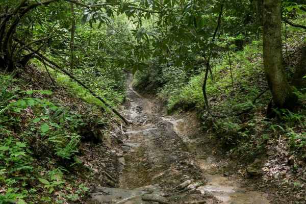
OP 39 is a 200-yard connector running between two segments of OP 37. It descends slightly from north to south through a narrow, rutted ravine. Expect muddy conditions, scattered sticks, and dense rhododendron lining the trail, with low-hanging branches adding to the challenge. Tight and wet, it's a ...
Learn more about OP 39
OP 41
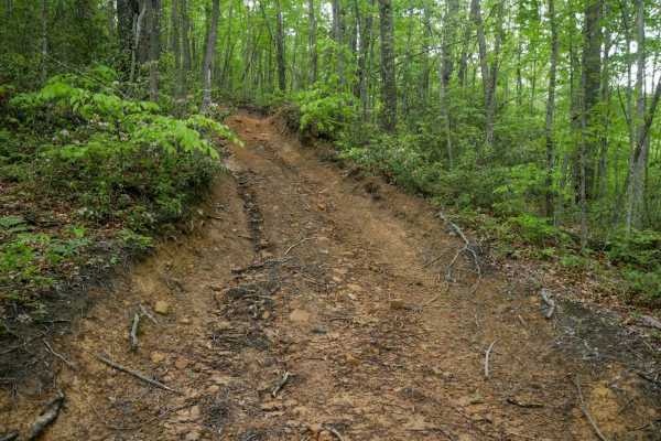
Original Pocahontas 41 is a very short connector--less than 250 feet--linking the north and south segments of OP 37. It features a steep, rutted climb from the south that levels out at the top. Though brief, the deeper ruts and inclines make it slightly more challenging than the surrounding segments...
Learn more about OP 41
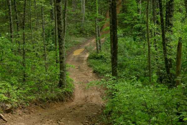
OP 13
OP 13 is an easy, smooth trail that winds through a mix of open and shaded forest. The northern section runs beneath powerlines, offering open skies and no tree canopy, while the southern portion transitions into denser woods with pleasant shade. The trail is fairly wide with only shallow ruts and f...
Learn more about OP 13
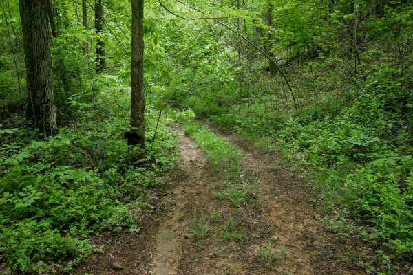
13 Connector
13 Connector is a short, 500-yard trail linking OP 37 and OP 13. It begins near the powerlines off OP 37, with a pipeline in the trail in the beginning, before narrowing into a more primitive route. The middle section is overgrown with grass, and drivers may encounter scattered debris such as small ...
Learn more about 13 Connector
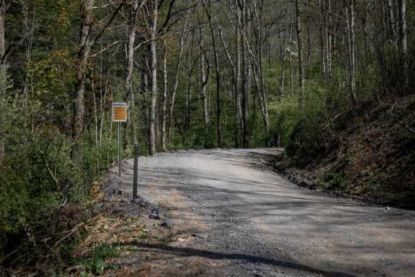
P15
Trail P15 is the first trail from the Pocahontas parking lot that will connect riders to the Pocahontas trail system. It's a wide, graded gravel road for 1 mile, featuring big sweeping corners, a gradual incline, and accommodating two-lane traffic. Riders should reduce speed when approaching the sta...
Learn more about P15
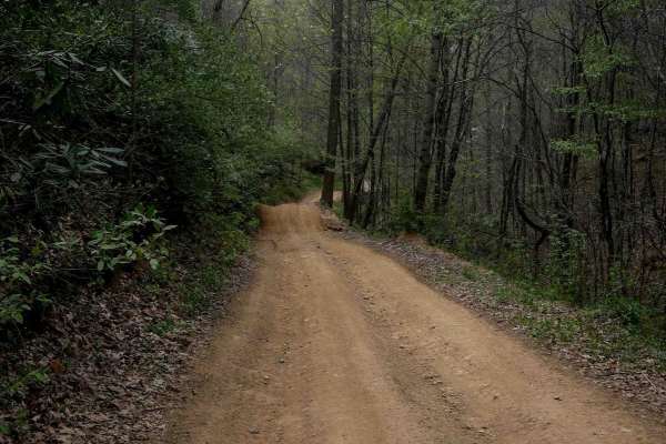
P11
Pocahontas 11 is one of the longer routes in the system at 5.5 miles. The north end includes a short, steep descent, while the rest of the trail follows a gradual path with minimal elevation gain. It features minor shallow ruts, loose rock, and waterbars, with a mix of one-lane and wider sections. R...
Learn more about P11
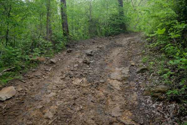
OP 18
OP 18 is a 2-mile route that runs from OP 14 deeper into the trail system, serving as a connector to several easy trails. It drops down to a dense, lush forest floor, before climbing to 2,800 feet elevation on the north end on an easy path through the hilltops through pitch pines and poplar trees. E...
Learn more about OP 18
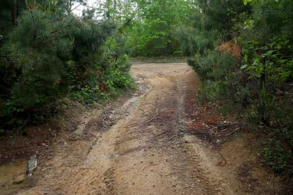
OP 59
OP 59 is a 0.6-mile easy shelf path with gradual terrain and mostly smooth surfaces. Large mud puddles are present throughout, and while the trail is decently wide, thick brush near the edges can obscure visibility--use caution for oncoming traffic. Minor loose rock appears occasionally but is gener...
Learn more about OP 59
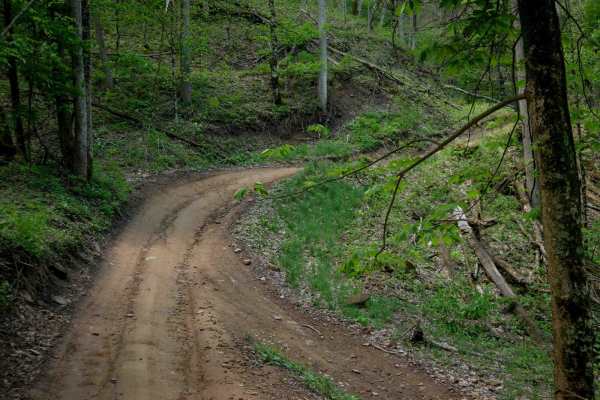
IR 28
Trail 28 is a 5.5-mile easy route that serves as a major connector between the Indian Ridge and Pinnacle Creek trail systems. While generally gradual in grade, the trail has sections that are more rugged, with pronounced ruts, loose rock, and occasional embedded slickrock surfaces. Some areas featur...
Learn more about IR 28
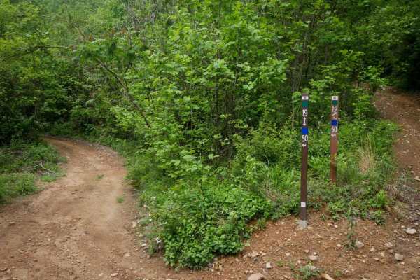
19 Connector
This connector is a flat, quarter-mile link between OP 19 and OP 50. It runs along a hillside with short trees and open skies, on a smooth dirt surface with mildly uneven ground. No obstacles or technical features make it a simple and easy transitional route through the trail system.
Learn more about 19 Connector
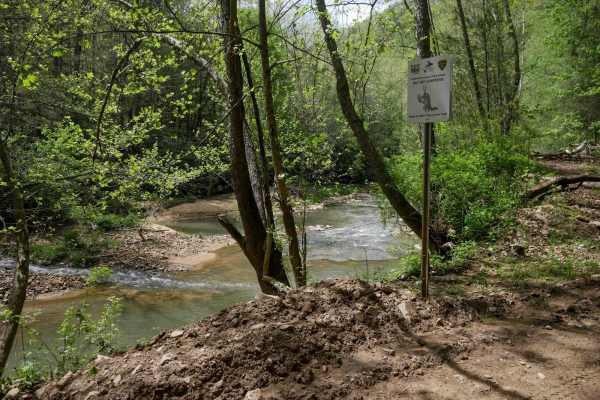
PC 26
PC 26 begins on the south end alongside Pinnacle Creek, offering a scenic river view as the trail follows the water's edge. The trail is mostly smooth with minor rock and ruts, featuring gradual, sweeping corners and good visibility. One shelf-like section climbs above the river before the trail tur...
Learn more about PC 26
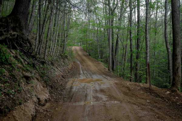
PC 23
PC 23 offers a wide, easy corridor with ample space for two-way travel and good visibility. The trail features straight sections, gradual corners, and a smooth surface with minimal rock and shallow ruts. It crosses the paved Bell School House Ridge Road, after which the northern section narrows slig...
Learn more about PC 23
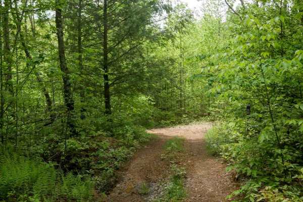
OP 36
OP 36 is a short and straightforward 230-yard connector between OP 13 and OP 35. The trail is flat, smooth, and gradual, with no notable obstacles. While the middle section is somewhat overgrown, it remains passable and clearly marked--just follow the signs indicating "To 35." It's an easy and effic...
Learn more about OP 36

OP 35
OP 35 is a one-mile trail located in the northeastern section of the Original Pocahontas trail system. It winds through dense rhododendron thickets and moss-covered trees, creating a lush, rainforest-like atmosphere beneath a heavy leaf canopy. The trail surface is mostly smooth with occasional mud ...
Learn more about OP 35
Beginner ATV trails near Keystone, West Virginia
Explore ATV-friendly trails near you. These trails are accessible for vehicles up to 50 inches wide, perfect for ATVs and smaller off-road machines.
IR 19
Trail 19 is a 5.4-mile route that climbs and descends through a lush, scenic forest. Starting from the north end, it ascends with a series of wide, steep switchbacks with space to maneuver. The trail surface features dark, coal-like dirt with occasional embedded rock and loose stone. As the climb co...
Learn more about IR 19
IR 16
Trail 16 is a 4.4-mile connector that links the east and west halves of the Indian Ridge Trail System. It's an overall easy route, with minor ruts, loose rock, and some shelfy, narrow sections--especially around sweeping corners and hairpin switchbacks where riders should watch for oncoming traffic....
Learn more about IR 16
IR 12
Indian Ridge 12 begins at the Indian Ridge Staging Area. It climbs out from the parking area with a large hairpin switchback and passes a scenic waterfall and several trail intersections. The route winds through a lush forest with dark coal dirt, featuring shelfy sections along the hillside, some bl...
Learn more about IR 12
IR 18
Trail 18 begins near the official Indian Ridge trailhead, heads south, passes several campsites on a graded gravel road, before continuing past the Ashland Company Store. After crossing the street, the trail officially starts at the large trail sign. It's a wide path with loose rock, gradually climb...
Learn more about IR 18
Beginner UTV/side-by-side trails near Keystone, West Virginia
Find UTV and side-by-side trails near you. These trails accommodate vehicles up to 60 inches wide, ideal for UTVs, side-by-sides, and wider off-road rigs.
IR 19
Trail 19 is a 5.4-mile route that climbs and descends through a lush, scenic forest. Starting from the north end, it ascends with a series of wide, steep switchbacks with space to maneuver. The trail surface features dark, coal-like dirt with occasional embedded rock and loose stone. As the climb co...
Learn more about IR 19
IR 16
Trail 16 is a 4.4-mile connector that links the east and west halves of the Indian Ridge Trail System. It's an overall easy route, with minor ruts, loose rock, and some shelfy, narrow sections--especially around sweeping corners and hairpin switchbacks where riders should watch for oncoming traffic....
Learn more about IR 16
IR 12
Indian Ridge 12 begins at the Indian Ridge Staging Area. It climbs out from the parking area with a large hairpin switchback and passes a scenic waterfall and several trail intersections. The route winds through a lush forest with dark coal dirt, featuring shelfy sections along the hillside, some bl...
Learn more about IR 12
IR 18
Trail 18 begins near the official Indian Ridge trailhead, heads south, passes several campsites on a graded gravel road, before continuing past the Ashland Company Store. After crossing the street, the trail officially starts at the large trail sign. It's a wide path with loose rock, gradually climb...
Learn more about IR 18
The onX Offroad Difference
onX Offroad combines trail photos, descriptions, difficulty ratings, width restrictions, seasonality, and more in a user-friendly interface. Available on all devices, with offline access and full compatibility with CarPlay and Android Auto. Discover what you're missing today!
Open Trail Map