
Beginner Off-Road Trails
Near Kenvir, Kentucky
Explore All Beginner Trails Near Kenvir, Kentucky
Beginner Off-Road Trails Near Kenvir, Kentucky
Discover the best beginner-friendly off-road trails near you. These easier, lower-rated trails are a great place to start — browse trail maps, check difficulty ratings, and find your next adventure.
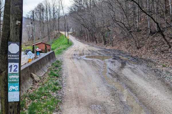
12a
Trail 12 splits into two parts in the OHV area. It is divided by private land. For mapping purposes, this trail has been labeled "12a" and "12b". 12a is an easy drive and is a great way to navigate through the park. There are some elevation changes and small rocks. In some areas, the trail is wide e...
Learn more about 12a
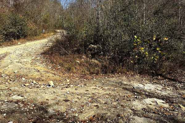
Trail 10
You can expect a nice easy cruise up the mountain. It is a fairly gradual grade increase with occasional sections of loose rocks along the way. During the fall it seemed as though the trail was consistently maintained. There are many places along the way to access other trails ranging from easy to d...
Learn more about Trail 10
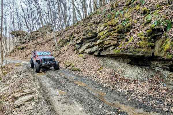
11
This trail is just over 2 miles long and is a great opportunity to see the Black Mountain trails without getting too crazy. There are also a couple of small waterfalls to enjoy. The terrain is dirt with some small rocks and water puddles. The trail does have a few areas that could potentially wash o...
Learn more about 11
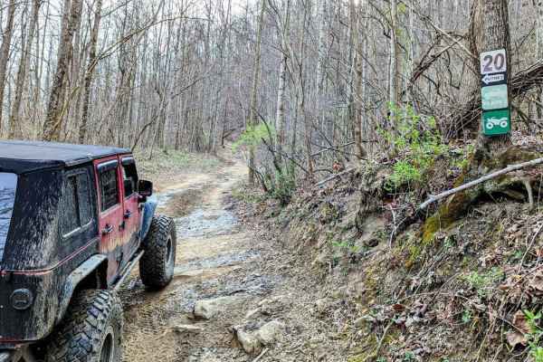
20
Trail 20 is a dirt trail and just under 2.5 miles long. It's a very scenic drive that weaves along the mountain's edge. There are some mild elevation changes and it's a great way to easily navigate from the north end to the middle of the OHV area. There are a couple of small rocky areas, but the tra...
Learn more about 20
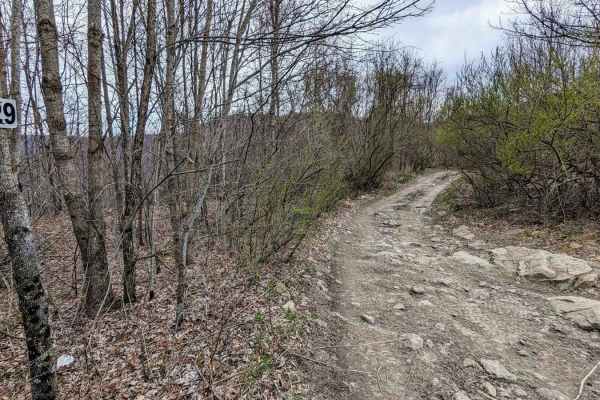
29
Trail 29 is a longer trail running from east and west near the far west side of the Black Mountain ORV Adventure Area. The trail ends on the west side at a private property which is gated and labeled "FOR EMERGENCY VEHICLES ONLY". Along the way, this trail travels through an area known as The Stadiu...
Learn more about 29
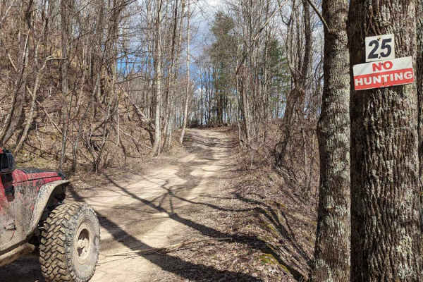
25
Trail 25 is an enjoyable drive. This dirt trail has very few rocks and little elevation. It is fairly wide and away from the very edge of the mountain. There are some large, shallow water holes with solid bottoms. There are also a couple of nice unofficial overlooks with great views.
Learn more about 25
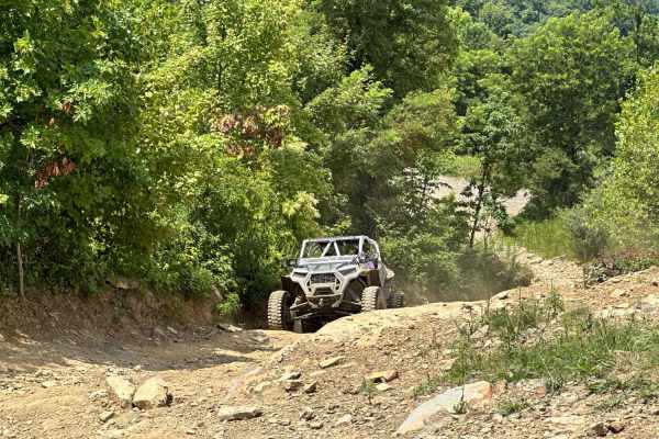
Putney Pass
This is a very scenic mountain road, mostly all gravel, but it still has some rocky inclines and loose dirt. Enjoy the best view in Harlan County from Pyramid Rock if you dare to climb it. As always, be very cautious of the wildlife - several bears were seen on the way up.
Learn more about Putney Pass
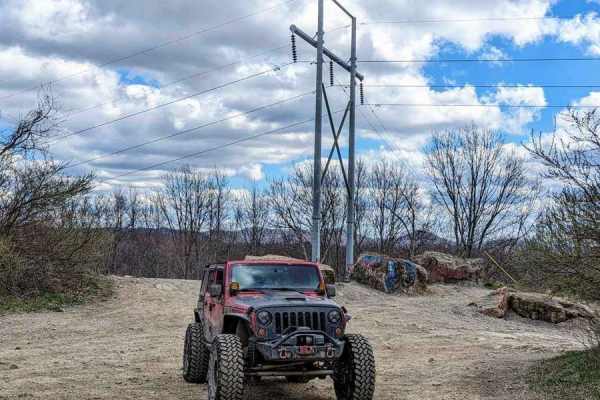
12b
Trail 12 splits into two parts in the OHV area. It is divided by private land. For mapping purposes, this trail has been labeled "12a" and "12b". 12b is an easy drive and is a great way to navigate through the park. It runs between a private property boundary and the 4 Poles Overlook. There are some...
Learn more about 12b
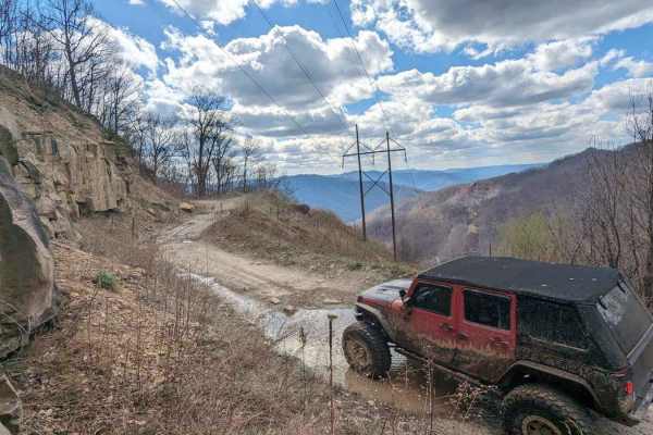
36
The majority of this trail is flat (the flattest in the park) with some shallow water/mud holes with solid bottoms. The terrain is small gravel-like rock mixed with softball-sized rocks. This drive is very picturesque, especially at the top, with a nice view from 2800 feet of elevation. You will fin...
Learn more about 36
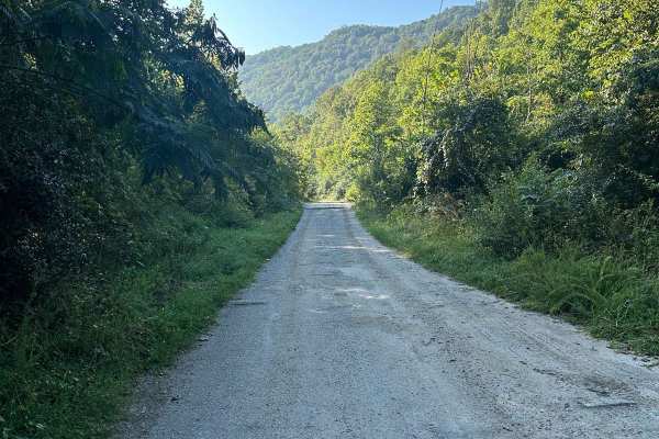
Gabe's Branch Road
Gabe's Branch Road travels between Kentucky State Highway 221 and Kentucky Route 2008. This trail is a gravel and rock road that is somewhat maintained. There are a few small ruts, but they are easy to traverse. This route can also be completed with 2WD high-clearance vehicles, and two vehicles may ...
Learn more about Gabe's Branch Road
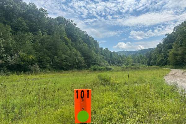
101
101 runs from the General Store / Parking Area to the south side of the park out to State Highway 510. This route would be a main trailhead to access many of the other park trails. This is a maintained trail of gravel, rock, mud, and dirt, but there can be some shallow mud holes, rutting, and some r...
Learn more about 101
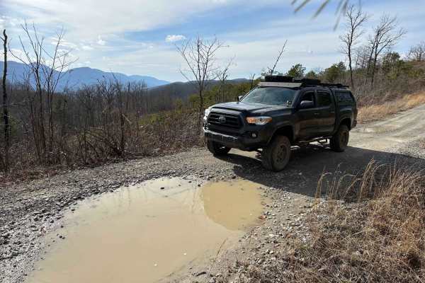
Little Shepherd
Little Shepherd is an unpaved route from Harlan KY to Cumberland KY. This route rides across a mountain ridge giving you wonderful views of the surrounding areas. There are multiple pull-offs that function as overlooks to take in the scenery. This trail is stock 4x4 capable, but keep an eye out for ...
Learn more about Little Shepherd
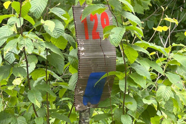
129
This track will take you down to Highway 510 on Line Fork. It is mostly gravel with a few spots to cross mud holes. Take it slow, and you could see wildlife along your route. Deer were spotted while mapping this trail. Nothing much to be worried about, as this can mostly be done in 2WD, except for t...
Learn more about 129
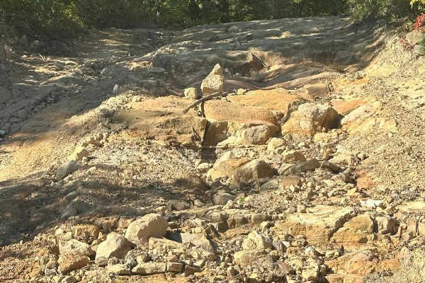
121
Trail 121 is an easy trail that starts off with a choice. Take the smooth easy path on the left or choose to crawl the smaller rocks on the right. Nothing too difficult here, just choose your line and you should be just fine. This track will take you back to the main trail 101. The trail is mostly g...
Learn more about 121
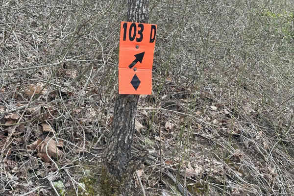
125
125 is a blue trail that will take you to trail 128 and then to trail 123. There are a few deep mud holes that you need to watch out for on this track. Other than that, it is just an easy ride under the canopy. Some key locations are in this area. There is the Trail 128 overhang, which is a good pla...
Learn more about 125
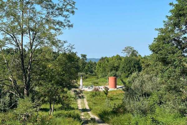
131A
Trail 131A runs off of Kentucky State Highway 221 from Trail 131. It is made of rock and dirt. The rock road has a few minor ruts and washout spots. Several mudholes can be found along the trail. A few places have a lot of vegetation growth from the side of the road and can be tight to go through.
Learn more about 131A
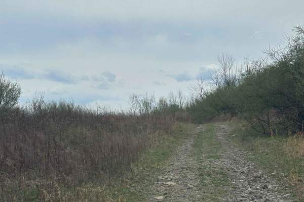
119
This is an easy trail that rides along the ridge line. Nothing to worry about on this one, aside from a few shallow mud crossings. There could be some small brushes that may cause small scratches on your vehicle. Other than that, this will dead end, and you can turn around easily and make your way b...
Learn more about 119
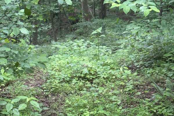
116A
This trail's only function is to provide access to 124 via a dead-end trail. This is just a short offshoot through the timber and is about 50 to 75 yards in length. The trail was not marked at the time of mapping, but the owner said they would mark it soon.
Learn more about 116A
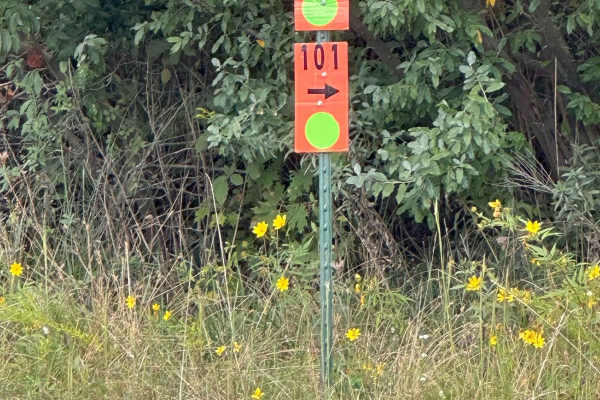
114
This is an easy trail riding under the canopy of the trees. This trail is gravel and can be driven in 2WD. There isn't any mud or obstacles to tackle along this route, and there are a few places to stop along the way and sneak a picture of the mountains in the distance. This trail will end at a pave...
Learn more about 114
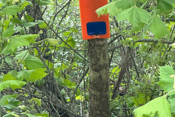
116
This trail dead ends at a gas well. You must turn around and make your way back, or you can take 116A and make your way back to trail 124 down below. This track has a steep climb and a sharp turn at the beginning of the track, giving it its difficulty.
Learn more about 116
Beginner ATV trails near Kenvir, Kentucky
Explore ATV-friendly trails near you. These trails are accessible for vehicles up to 50 inches wide, perfect for ATVs and smaller off-road machines.
12a
Trail 12 splits into two parts in the OHV area. It is divided by private land. For mapping purposes, this trail has been labeled "12a" and "12b". 12a is an easy drive and is a great way to navigate through the park. There are some elevation changes and small rocks. In some areas, the trail is wide e...
Learn more about 12a
Trail 10
You can expect a nice easy cruise up the mountain. It is a fairly gradual grade increase with occasional sections of loose rocks along the way. During the fall it seemed as though the trail was consistently maintained. There are many places along the way to access other trails ranging from easy to d...
Learn more about Trail 10
11
This trail is just over 2 miles long and is a great opportunity to see the Black Mountain trails without getting too crazy. There are also a couple of small waterfalls to enjoy. The terrain is dirt with some small rocks and water puddles. The trail does have a few areas that could potentially wash o...
Learn more about 11
20
Trail 20 is a dirt trail and just under 2.5 miles long. It's a very scenic drive that weaves along the mountain's edge. There are some mild elevation changes and it's a great way to easily navigate from the north end to the middle of the OHV area. There are a couple of small rocky areas, but the tra...
Learn more about 20
Beginner UTV/side-by-side trails near Kenvir, Kentucky
Find UTV and side-by-side trails near you. These trails accommodate vehicles up to 60 inches wide, ideal for UTVs, side-by-sides, and wider off-road rigs.
12a
Trail 12 splits into two parts in the OHV area. It is divided by private land. For mapping purposes, this trail has been labeled "12a" and "12b". 12a is an easy drive and is a great way to navigate through the park. There are some elevation changes and small rocks. In some areas, the trail is wide e...
Learn more about 12a
Trail 10
You can expect a nice easy cruise up the mountain. It is a fairly gradual grade increase with occasional sections of loose rocks along the way. During the fall it seemed as though the trail was consistently maintained. There are many places along the way to access other trails ranging from easy to d...
Learn more about Trail 10
11
This trail is just over 2 miles long and is a great opportunity to see the Black Mountain trails without getting too crazy. There are also a couple of small waterfalls to enjoy. The terrain is dirt with some small rocks and water puddles. The trail does have a few areas that could potentially wash o...
Learn more about 11
20
Trail 20 is a dirt trail and just under 2.5 miles long. It's a very scenic drive that weaves along the mountain's edge. There are some mild elevation changes and it's a great way to easily navigate from the north end to the middle of the OHV area. There are a couple of small rocky areas, but the tra...
Learn more about 20
The onX Offroad Difference
onX Offroad combines trail photos, descriptions, difficulty ratings, width restrictions, seasonality, and more in a user-friendly interface. Available on all devices, with offline access and full compatibility with CarPlay and Android Auto. Discover what you're missing today!
Open Trail Map