
Beginner Off-Road Trails
Near Heath, Alabama
Explore All Beginner Trails Near Heath, Alabama
Beginner Off-Road Trails Near Heath, Alabama
Discover the best beginner-friendly off-road trails near you. These easier, lower-rated trails are a great place to start — browse trail maps, check difficulty ratings, and find your next adventure.
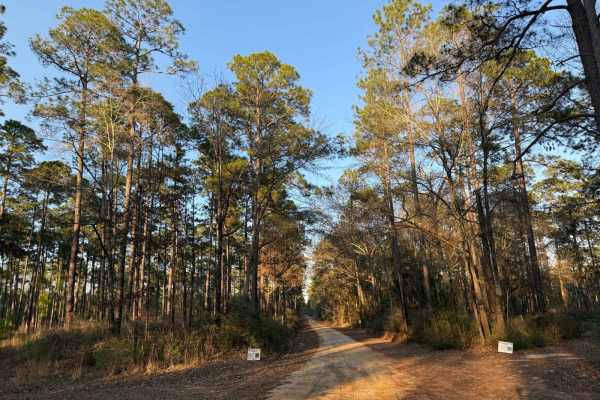
Hogfoot Road - FS 332
This scenic route winds through towering pines on a smooth, well-maintained road, making for a relaxing drive through Conecuh National Forest. Along the way, you'll cross two picturesque bridges, adding to the charm of this peaceful forest trail. Ideal for all vehicle types, this road provides easy ...
Learn more about Hogfoot Road - FS 332
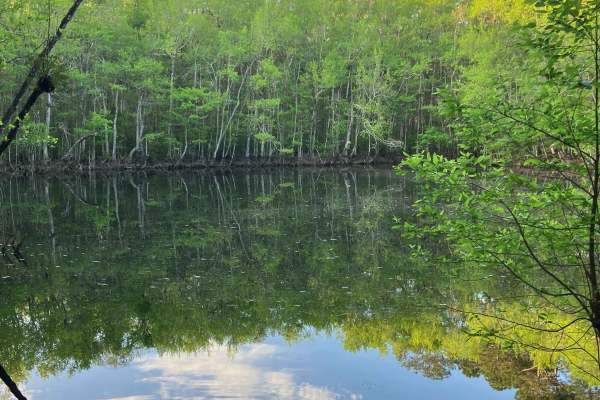
Loop Road - FS 335
Loop Road offers a scenic and relaxed ride, making it a great option for those looking to enjoy the natural surroundings. Drivers can expect small ruts and loose gravel on steeper grades, so caution should be advised if traveling this route in rainy weather. Overall, the terrain is straightforward a...
Learn more about Loop Road - FS 335
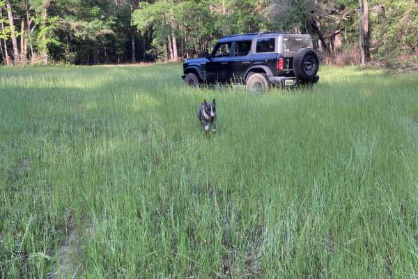
Turkey Trot - FS 351
Turkey Trot - FS 351 is a fairly well-maintained forest service road that runs along the eastern edge of Five Runs Creek. The terrain is mostly flat and sandy, typical of many forest service roads in the region. You’ll encounter occasional burn scars along the route, which can become slick and muddy...
Learn more about Turkey Trot - FS 351
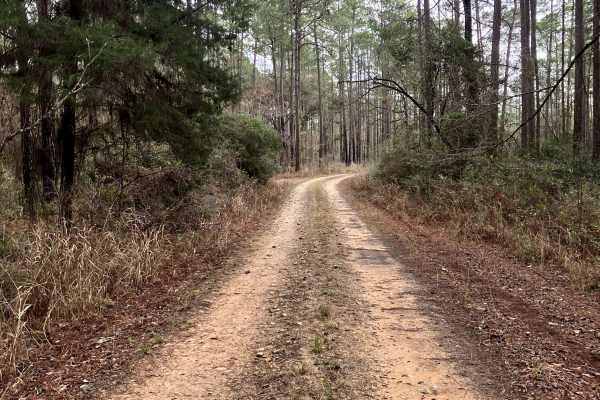
FS 337
FS 337 is a generally well-maintained forest service road running north–south through the heart of the Conecuh National Forest in southern Alabama. As one of the main thoroughfares through the forest, it offers scenic views of longleaf pine stands, open understory habitat, and abundant wildlife view...
Learn more about FS 337
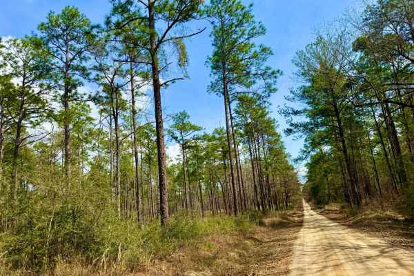
Grab mill Rd/ XC Rd FS 305
This main thoroughfare is the longest continual road in Conecuh National Forest, offering easy access to the rest of the forest. The route features scenic views of pine stands, occasional burned scars, and five water crossings. The road is generally well-maintained but can be slick and muddy in spot...
Learn more about Grab mill Rd/ XC Rd FS 305

Boggy Hollow Road - FS 374
Boggy Hollow Road winds through the Conecuh National Forest, connecting Alabama County Road 4 to the State Line Road in Florida. This mostly pine needle twin track is a mix of sand, packed sand, and some muddy spots. There are various spurs along this relaxing route offering a chance to venture deep...
Learn more about Boggy Hollow Road - FS 374

Miller Creek Road - FS 311
This main thoroughfare through Conecuh National Forest is a typical forest service road, mostly smooth with a few slick and muddy spots after rain. It features five water crossings, passing through tall pine stands and offering scenic views along the way. The route is generally straightforward, maki...
Learn more about Miller Creek Road - FS 311
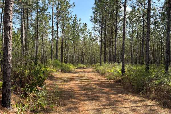
R 17
Blackwater River Forest Road R 17 is a loop that starts and ends at the Mashourn Forks Road. It is a short trail that takes you through the north east part of the Blackwater River State Forest along the west side of the Blackwater River and gives you access to a few hiking trails to the river. The r...
Learn more about R 17
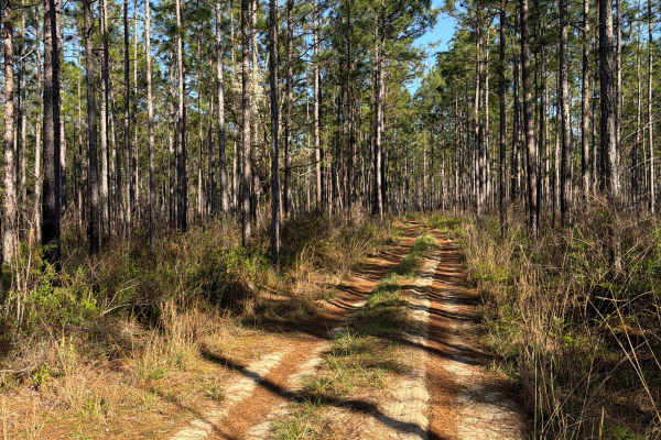
R 159
Blackwater River Forest Road R 159 connects FR R 155 at the west end and Kennedy Bridge Road at the east end. It is a short trail that takes you through the north east part of the Blackwater River State Forest along the east side of the Blackwater River and gives you access to a beautiful camping an...
Learn more about R 159
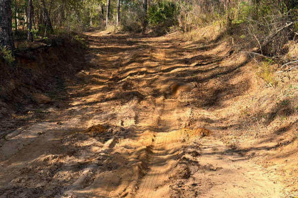
R 155
Blackwater River Forest Road R 155 connects FR R 159 at the north end and Kennedy Bridge Road at the south end. It is a short trail that takes you through the north east part of the Blackwater River State Forest along the east side of the Blackwater River and gives you access to a beautiful camping ...
Learn more about R 155
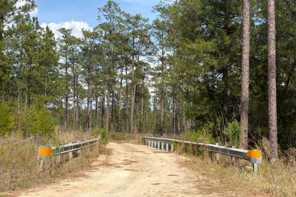
Mashourn Forks Road
Mashourn Forks Road starts at Bullard Church Road and builds a loop with Forest Road R 17 if you don't want to turn around. It is a 3-mile trail that takes you through the northeast part of the Blackwater River State Forest along the west side of the Blackwater River and gives you access to a beauti...
Learn more about Mashourn Forks Road
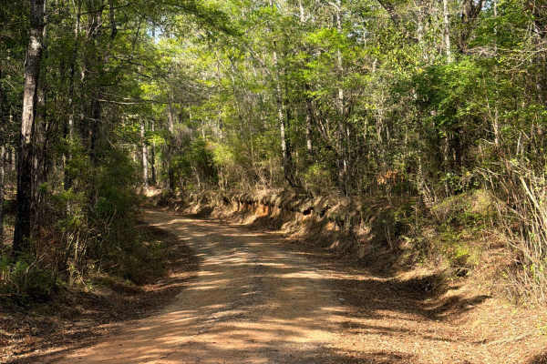
McCoy Road
McCoy Road connects Charles Booker Road at the north end and Bullard Church Road at the south end. It is a short trail that takes you through the north east part of the Blackwater River State Forest. The road conditions are a mixture of packed sand, loose sand, some deep holes that can turn into 2 f...
Learn more about McCoy Road
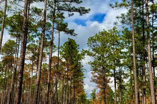
Alafora Road
This well-traveled, two-lane forest service road serves as the main thoroughfare through Conecuh National Forest. Cutting through towering pine stands and diverse woodland terrain, it provides a scenic and accessible route with five water crossings along the way. The road is generally well-maintaine...
Learn more about Alafora Road
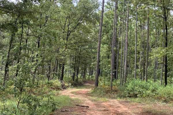
S102
S102 is a narrow, lightly traveled out-and-back trail accessed from Bracken Road, ending at private property along the Alabama state line. The route winds through towering mixed pine forests and offers an enjoyable ride without being overly technical. A narrow, older bridge crosses the creek and can...
Learn more about S102
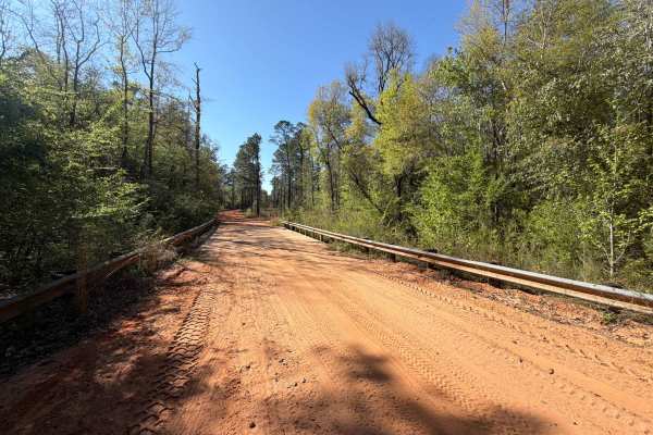
Mattie Kennedy Road
Mattie Kennedy Road connects Sherman Kennedy Road at the east end and Kennedy Bridge Road at the west end. It is a 2-mile trail that takes you through the northeast part of the Blackwater River State Forest along More Creek and gives you access to several OHV and off-road trails in the area. The roa...
Learn more about Mattie Kennedy Road
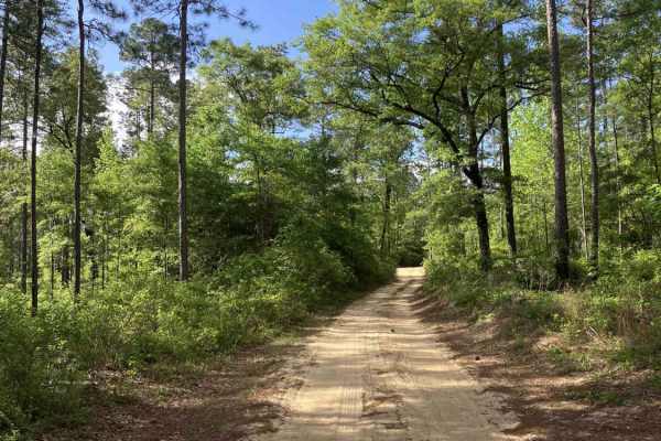
S105
S105 is a looping trail on the south side of the system that ties into Bracken Road. The route is characterized by deep sugar sand, significant rutting, and multiple blind corners, requiring attentive driving and proper line choice throughout. Maintaining controlled speeds is important, especially i...
Learn more about S105
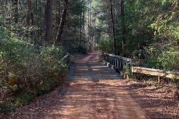
SR 119
SR 119 runs through the eastern portion of Blackwater River State Forest in northwest Florida. This quiet forest route winds through long stretches of mixed pine woodland and sandy forest terrain, offering a peaceful drive through one of Florida’s largest state forests
The road is periodically maint...
Learn more about SR 119
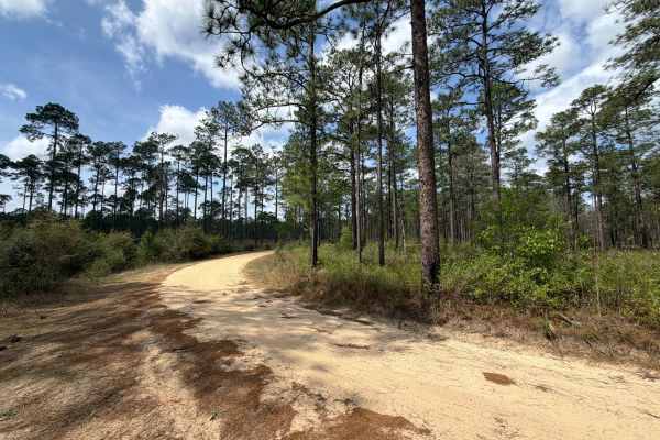
Bracken Road
Bracken Road connects Run for the Border at the west end and Beaver Creek Road at the east end. It is a 3-mile trail that takes you through the northeast part of the Blackwater River State Forest and gives you access to several OHV and off-road trails. The road conditions are a mixture of packed san...
Learn more about Bracken Road
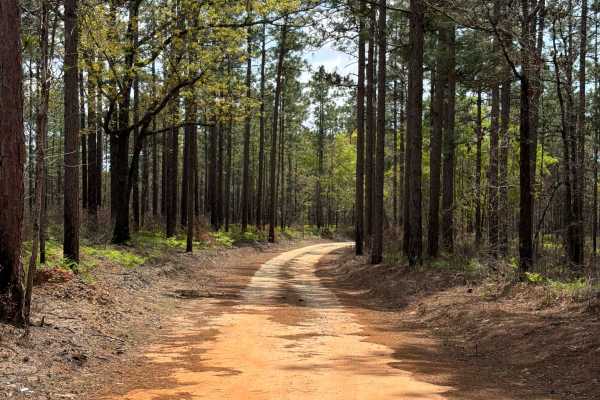
Hurricane Lake North R 171
Hurricane Lake South, also known as Forest Road R 171, takes you from the Hurricane Lake North Entrance Road to the public boat ramp and picnic area at the north side of the Hurricane Lake. It is a short trail in the north-east part of the Blackwater River State Forest. The road conditions are a mix...
Learn more about Hurricane Lake North R 171
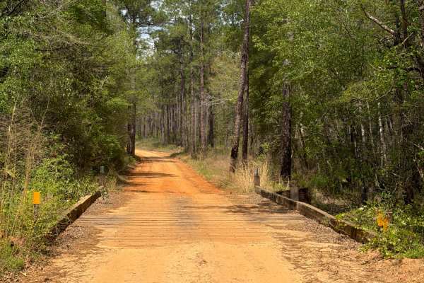
Bullard Church Road
Bullard Church Road connects Beaver Creek Road at the north end and Kennedy Bridge Road at the south end. It is a 3-mile trail that takes you through the northeast part of the Blackwater River State Forest along Hurricane Lake and gives you access to the Wiregrass Hiking Trail. The road conditions a...
Learn more about Bullard Church Road
Beginner ATV trails near Heath, Alabama
Explore ATV-friendly trails near you. These trails are accessible for vehicles up to 50 inches wide, perfect for ATVs and smaller off-road machines.
Hogfoot Road - FS 332
This scenic route winds through towering pines on a smooth, well-maintained road, making for a relaxing drive through Conecuh National Forest. Along the way, you'll cross two picturesque bridges, adding to the charm of this peaceful forest trail. Ideal for all vehicle types, this road provides easy ...
Learn more about Hogfoot Road - FS 332
Grab mill Rd/ XC Rd FS 305
This main thoroughfare is the longest continual road in Conecuh National Forest, offering easy access to the rest of the forest. The route features scenic views of pine stands, occasional burned scars, and five water crossings. The road is generally well-maintained but can be slick and muddy in spot...
Learn more about Grab mill Rd/ XC Rd FS 305
Miller Creek Road - FS 311
This main thoroughfare through Conecuh National Forest is a typical forest service road, mostly smooth with a few slick and muddy spots after rain. It features five water crossings, passing through tall pine stands and offering scenic views along the way. The route is generally straightforward, maki...
Learn more about Miller Creek Road - FS 311
R 17
Blackwater River Forest Road R 17 is a loop that starts and ends at the Mashourn Forks Road. It is a short trail that takes you through the north east part of the Blackwater River State Forest along the west side of the Blackwater River and gives you access to a few hiking trails to the river. The r...
Learn more about R 17
Beginner UTV/side-by-side trails near Heath, Alabama
Find UTV and side-by-side trails near you. These trails accommodate vehicles up to 60 inches wide, ideal for UTVs, side-by-sides, and wider off-road rigs.
Hogfoot Road - FS 332
This scenic route winds through towering pines on a smooth, well-maintained road, making for a relaxing drive through Conecuh National Forest. Along the way, you'll cross two picturesque bridges, adding to the charm of this peaceful forest trail. Ideal for all vehicle types, this road provides easy ...
Learn more about Hogfoot Road - FS 332
Grab mill Rd/ XC Rd FS 305
This main thoroughfare is the longest continual road in Conecuh National Forest, offering easy access to the rest of the forest. The route features scenic views of pine stands, occasional burned scars, and five water crossings. The road is generally well-maintained but can be slick and muddy in spot...
Learn more about Grab mill Rd/ XC Rd FS 305
Miller Creek Road - FS 311
This main thoroughfare through Conecuh National Forest is a typical forest service road, mostly smooth with a few slick and muddy spots after rain. It features five water crossings, passing through tall pine stands and offering scenic views along the way. The route is generally straightforward, maki...
Learn more about Miller Creek Road - FS 311
R 17
Blackwater River Forest Road R 17 is a loop that starts and ends at the Mashourn Forks Road. It is a short trail that takes you through the north east part of the Blackwater River State Forest along the west side of the Blackwater River and gives you access to a few hiking trails to the river. The r...
Learn more about R 17
The onX Offroad Difference
onX Offroad combines trail photos, descriptions, difficulty ratings, width restrictions, seasonality, and more in a user-friendly interface. Available on all devices, with offline access and full compatibility with CarPlay and Android Auto. Discover what you're missing today!
Open Trail Map