
Beginner Off-Road Trails
Near Hartville, Missouri
Explore All Beginner Trails Near Hartville, Missouri
Beginner Off-Road Trails Near Hartville, Missouri
Discover the best beginner-friendly off-road trails near you. These easier, lower-rated trails are a great place to start — browse trail maps, check difficulty ratings, and find your next adventure.
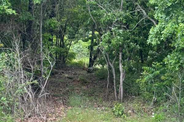
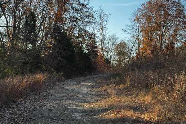
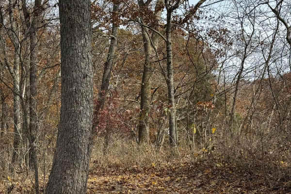
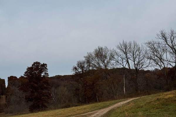
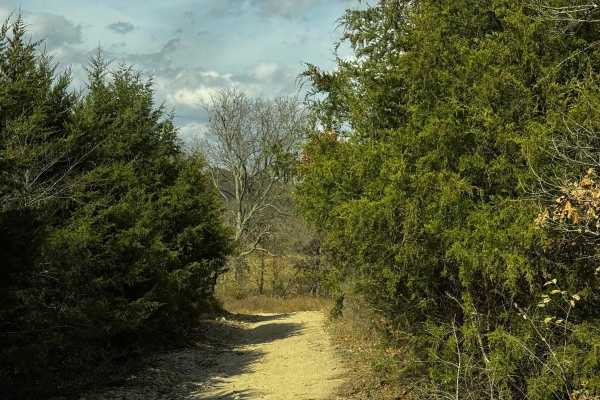
Hudson's Hideaway
This is a rock-notch in between pass-throughs to test articulation/vehicle pivoting skills. Recommended high clearance/larger tires.
Learn more about Hudson's Hideaway
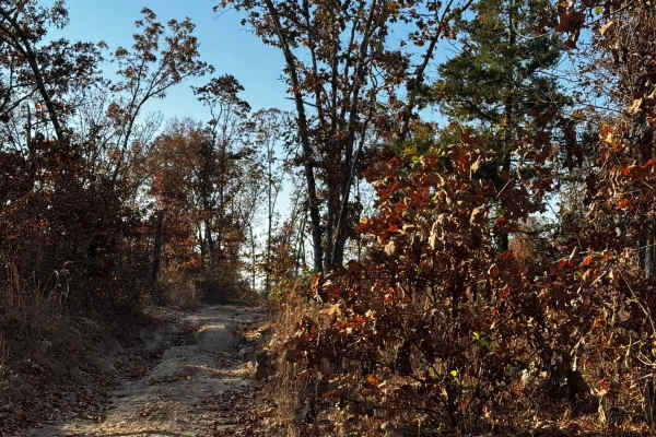
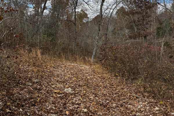
Loggers Trail / Heavens Stairs Connection
As the trail name states this is just a quick and convenient access trail to help access from the loggers trail to Heavens Stairs easily. Please remember to do your part in helping the park and keeping the trails clean for the enjoyment of others. Be mindful of traffic in this area.
Learn more about Loggers Trail / Heavens Stairs Connection
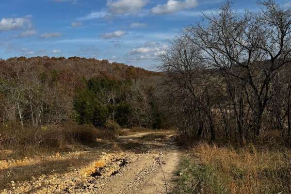
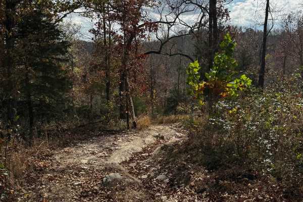
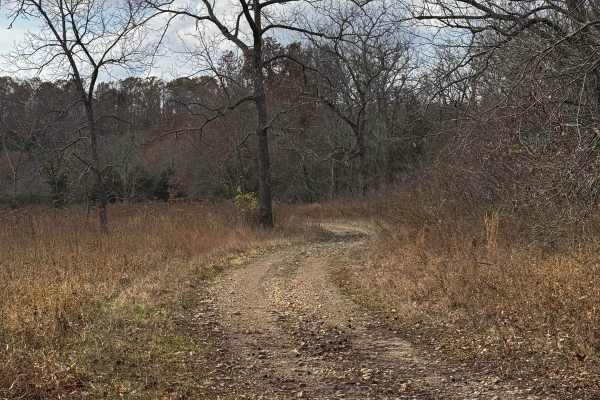
Heavens Stairs Middle Section
This trail is the easiest of the options for going up Heavens Stairs. Although featuring optional obstacles this section allows you to make it up to the top with minimal issues. The trail is still very steep and loose but not really as rugged as the surrounding sections. Make sure to be mindful of o...
Learn more about Heavens Stairs Middle Section
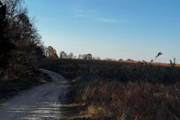
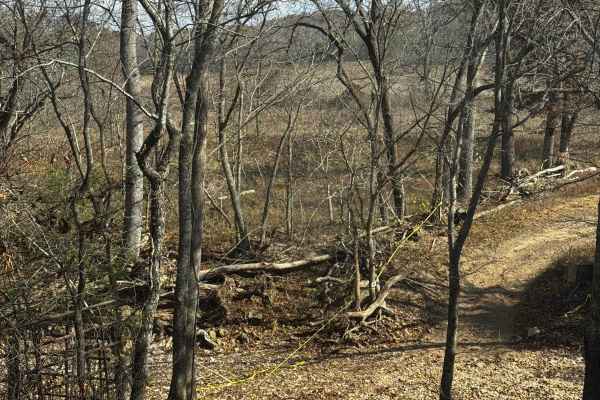
OnX Crossing
This fun beautiful trail was named after our dear friends @ OnX featuring some of the best spaces for camping with your buddies and enjoying some absolutely beautiful scenery located in the north section of the park. It's not the most difficult by any means but it sure is very enjoyable.
Learn more about OnX Crossing
Heavens Stairs L1
Part of the "heavens stairs" collection of trails L1 is by far one of the easier ways to the top of the hill featuring only loose terrain and a steep grade makes it an ideal spot to get good eyes on the action going on around you on other trails.
Learn more about Heavens Stairs L1
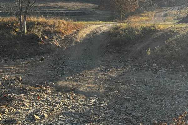
Waterfall Access
This trail will take you to the waterfall where you are surrounded by options for trails ranging in difficulty. This is one of the best areas to find yourself in the park. This trail features obstacles from mild to wild. Please be respectful of others on the trail and help keep the park clean for ot...
Learn more about Waterfall Access
Brett's Cherry
Brett's Cherry is a mildly challenging trail featuring some larger rocks and a bit more of a washout section that's fun for most vehicles. This is also a good access trail to get to the waterfall. Please be mindful of others on the trails and do your part to help keep the park clean.
Learn more about Brett's Cherry
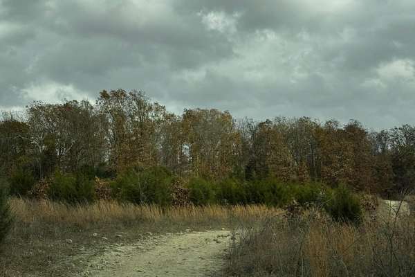
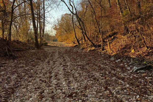
Loggers Trail
This longer trail features a few pit stops along the way also some beautiful scenery as you make your way through. Loose rocks and small washouts will be apparent check out the pond while you're there and please make sure you are mindful of others and help take care of the trash in the park.
Learn more about Loggers Trail
Bounty Hill Access
Bounty Hill Access is for those wanting to check out the hardcore climbs in the park. It is typically used for events or those with buggies who are looking for an extreme challenge. Be mindful of the area as there may be a lot of vehicles in the area during event days.
Learn more about Bounty Hill Access
MX Cross Access
Just a quick and easy-access trail to the motocross track. This trail is not difficult but very convenient to have the ability to use shortcuts and cutouts all over the park to reach certain areas and locations. Be mindful of others and make sure to keep the areas clean for others.
Learn more about MX Cross Access
Big Cat Upper
Big Cat Upper is another access trail for Big Cat with little obstacles and easy terrain. Make sure to check out the scenery and open space for camping lunch or just to take a break. Please make sure to do your part helping keep the park clean for everyone's enjoyment.
Learn more about Big Cat Upper
MX Track
This MX Track makes for an awesome time although it is suggested to be done on motorcycles if you're going to use the track so please be respectful of Tim's efforts to keep up with it. This track takes a lot of effort to build and maintain. The track features whoop sections and jumps with nice strai...
Learn more about MX Track
Bottoms Access
Bottoms Access is an easy cut through to the "bottoms" one of many convenient access trails in the park. Be mindful of others riding around in the area although not a difficult trail please be mindful of the area stay on the trail and please do your part in helping keep the park clean!
Learn more about Bottoms Access
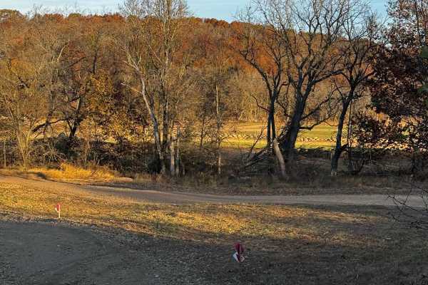
Main Creek
The main creek bottom is an amazing spot for photography and changing up the terrain. This creek bed features some very loose rocks occasional downed trees and some nice larger rocks allowing for little climbing action. Not to mention lots of spurs off into some of the gnarliest climbs the park has ...
Learn more about Main Creek
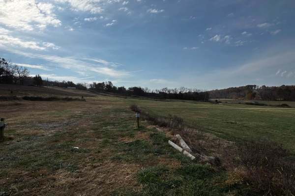
Bottoms
The "bottoms" is an area of the park that gives you access to the main creek also and a few other trails. Within the track is a nice big open field for a lunch break or star gazing on a warm summer night camping with your crew.
Learn more about Bottoms
Big Cat Mid
This trail is an easier part of the big cat sections. This particular one is an easy cut-through trail that gets you across the field to the other side. This trail has no particular obstacles or challenges. It is easy with open space for camping, lunch, or just to relax and get some space away from ...
Learn more about Big Cat Mid
Big Cat
This is the main feature of the "Big Cat" sections. This trail features mud washouts and some fun mild obstacles. There is absolutely beautiful scenery as you make your way around the property border of the park. Be mindful not to cross out of the park's boundary while doing this trail.
Learn more about Big Cat
Big Cat Access
Big Cat Access is another simple cut-through trail. Although it features a washout, it isn't big enough to be much of an issue for most vehicles with high clearance. The trail is short but sweet, taking you from the main entrance to "Big Cat". Enjoy the trails in the area, and make sure to keep the ...
Learn more about Big Cat Access
Love Hurts
This trail is a fun challenge allowing your vehicle to push its suspension and really work your way out of the soft washouts enjoy the scenery and beautiful surroundings keep in mind soft terrain and depth of the washouts some can be pretty deep and weather can cause massive changes!
Learn more about Love Hurts
Bunny
Bunny is an offshoot trail located amongst the "turkey" area of the park. Although it's a rather easy trail it still has beautiful scenery and lots of opportunities to check out the surrounding challenges. Make sure to be mindful of traffic and make sure to keep the trails clean.
Learn more about Bunny
Beginner ATV trails near Hartville, Missouri
Explore ATV-friendly trails near you. These trails are accessible for vehicles up to 50 inches wide, perfect for ATVs and smaller off-road machines.
Hudson's Hideaway
This is a rock-notch in between pass-throughs to test articulation/vehicle pivoting skills. Recommended high clearance/larger tires.
Learn more about Hudson's Hideaway
Loggers Trail / Heavens Stairs Connection
As the trail name states this is just a quick and convenient access trail to help access from the loggers trail to Heavens Stairs easily. Please remember to do your part in helping the park and keeping the trails clean for the enjoyment of others. Be mindful of traffic in this area.
Learn more about Loggers Trail / Heavens Stairs Connection
Heavens Stairs Middle Section
This trail is the easiest of the options for going up Heavens Stairs. Although featuring optional obstacles this section allows you to make it up to the top with minimal issues. The trail is still very steep and loose but not really as rugged as the surrounding sections. Make sure to be mindful of o...
Learn more about Heavens Stairs Middle Section
OnX Crossing
This fun beautiful trail was named after our dear friends @ OnX featuring some of the best spaces for camping with your buddies and enjoying some absolutely beautiful scenery located in the north section of the park. It's not the most difficult by any means but it sure is very enjoyable.
Learn more about OnX Crossing
Beginner UTV/side-by-side trails near Hartville, Missouri
Find UTV and side-by-side trails near you. These trails accommodate vehicles up to 60 inches wide, ideal for UTVs, side-by-sides, and wider off-road rigs.
Hudson's Hideaway
This is a rock-notch in between pass-throughs to test articulation/vehicle pivoting skills. Recommended high clearance/larger tires.
Learn more about Hudson's Hideaway
Loggers Trail / Heavens Stairs Connection
As the trail name states this is just a quick and convenient access trail to help access from the loggers trail to Heavens Stairs easily. Please remember to do your part in helping the park and keeping the trails clean for the enjoyment of others. Be mindful of traffic in this area.
Learn more about Loggers Trail / Heavens Stairs Connection
Heavens Stairs Middle Section
This trail is the easiest of the options for going up Heavens Stairs. Although featuring optional obstacles this section allows you to make it up to the top with minimal issues. The trail is still very steep and loose but not really as rugged as the surrounding sections. Make sure to be mindful of o...
Learn more about Heavens Stairs Middle Section
OnX Crossing
This fun beautiful trail was named after our dear friends @ OnX featuring some of the best spaces for camping with your buddies and enjoying some absolutely beautiful scenery located in the north section of the park. It's not the most difficult by any means but it sure is very enjoyable.
Learn more about OnX Crossing
The onX Offroad Difference
onX Offroad combines trail photos, descriptions, difficulty ratings, width restrictions, seasonality, and more in a user-friendly interface. Available on all devices, with offline access and full compatibility with CarPlay and Android Auto. Discover what you're missing today!
Open Trail Map