
Beginner Off-Road Trails
Near Greenwood, South Carolina
Explore All Beginner Trails Near Greenwood, South Carolina
Beginner Off-Road Trails Near Greenwood, South Carolina
Discover the best beginner-friendly off-road trails near you. These easier, lower-rated trails are a great place to start — browse trail maps, check difficulty ratings, and find your next adventure.
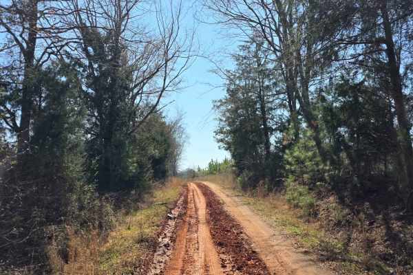
Warner Road
The route runs behind the Ninety Six National Historic Site and is packed with gravel, sand, and classic Southern red clay. It features a small creek crossing perfect for a quick splash before winding into a short, paved stretch that soon returns to a fun sand-and-clay mix. The drive continues throu...
Learn more about Warner Road
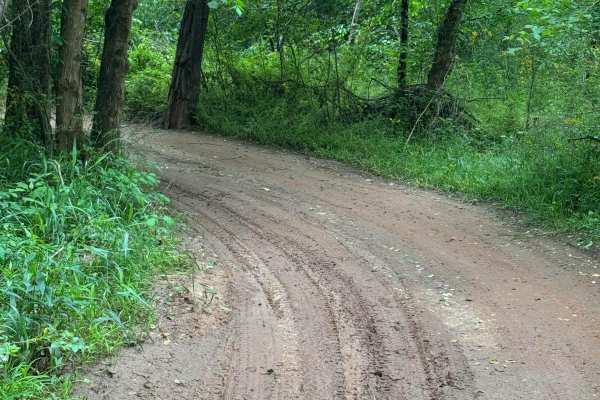
Campsite Road
Provides access to Campsites 2 through 6. This area is riddled with short twisties that can get you turned around easily. Keep track of the map so you don't get lost getting back to camp. Keep in mind that a few of the mudholes can be very deep- stay out, or you might need a rescue.
Learn more about Campsite Road
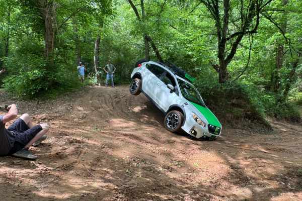
Water Cooler
Water Cooler trail may look like a straightforward loop, but in reality, it is a maze of tight twisties in the sand. Great place to practice wheeling in off-camber situations as well as testing your rig's flex and balance. Easy sand trails, but watch out for standing water, it changes with the tide ...
Learn more about Water Cooler

River Road
West side perimeter road following the river at the bottom of the hill. Portions may flood if the river is up. Easy 2-way trail, but can be VERY muddy. Stay out of the water- It's DEEP! River Road provides access to the lower entry or exit points of many of the park's trails. It also runs through t...
Learn more about River Road
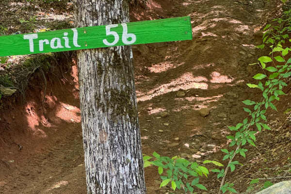
Trail 56
This is a two-way trail that provides another green route between Trail 1 on the upper part of the park to River Road on the lower part of the park. Keep to the right going downhill to stay on the green trail, or pick the hard side on Trail 56 Ledge for the added fun of an area of rock ledges.
Learn more about Trail 56
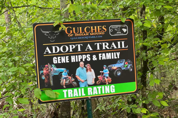
Just Winging It
Nice drive through the woods with just enough tight spots and puddles to keep it interesting. This trail is one of the newer trails in the park. It is also one of the trails that are part of the Trail Sponsor program. Contact Gulches ORV management for information on trail sponsorship opportunities.
Learn more about Just Winging It
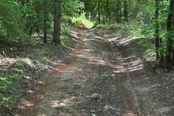
A1A
One-way trail, great for beginners, but can be difficult when wet. Primarily downhill with a switchback at the end, going back uphill. Exits onto Trail 1. Winds through the thick wooded area of the park with many varieties of trees. The trail surface is primarily dirt and leaf matter. Several tight ...
Learn more about A1A
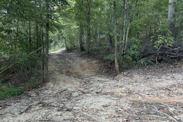
Twisters Sister Access
Cross hill access that allows riders to queue up to run Hunter's Uh-Oh and Hunter's Uh-Oh 2 trails without getting into the weekend traffic on River Road. It also provides access to Twisters Sister for an easier trail to the top of the Hunter's Uh-Oh trails. Primary trails surface is dirt and some t...
Learn more about Twisters Sister Access
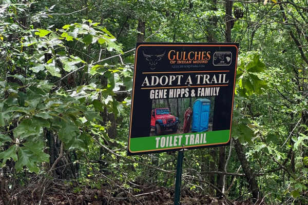
Toilet Trail
Easy access to the top of the Intentions, Li'l Devil, Hunter's, Twister's Sister, and B&B Hill trails. The trail loops around, returning to its start at Campsite 11. If you're lucky, there might be an outhouse at the top for those moments of need. This trail is sponsored by Gene Hipps and Family.
Learn more about Toilet Trail
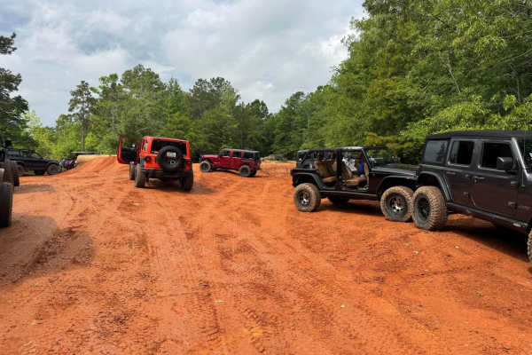
Trail 1
Easy two-way eastern perimeter trail that starts at the Park entrance gate and runs to the southern end of the Park. It provides access to the downhill trails in the center of the park as well as a few easier trails on the eastern side. Watch for oncoming traffic, VERY slick when wet. The East side ...
Learn more about Trail 1
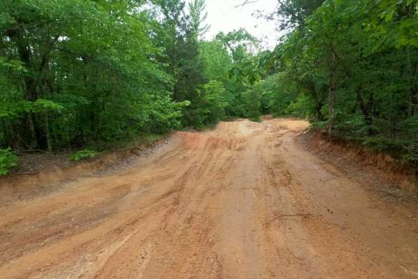
Trail 14
The easiest way to get from the lower River Road area back to the park entrance is. Provides access to Campsite 8 at the bottom, Campsite 10 about halfway up next to the That Dam Trail entrance, and the Shipwreck Trail exit. Also provides access to the Lone Rock trail. Wide, smooth dirt surface trai...
Learn more about Trail 14
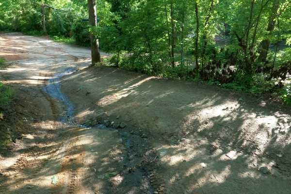
Volunteer Bridge Bypass
Volunteer Bridge Bypass gives riders an alternative to the Volunteer Bridge, which is an obstacle along the main line of River Road. Volunteer Bridge Bypass is an easy dirt trail with no obstacles. If the thought of dropping a wheel between the bridge rails makes you nervous, this is another way aro...
Learn more about Volunteer Bridge Bypass
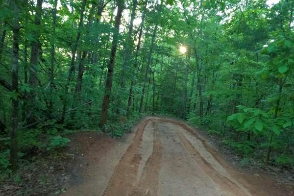
The Ridge
Nice easy bypass when Palmetto Krawler gets too wet, slick, and muddy. Smooth and fairly flat trail that runs along the north property line, so please stay on the trail so we can keep good relations with our neighbors. This trail is lightly used, so is usually in very good condition.
Learn more about The Ridge
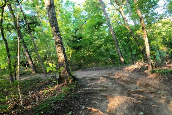
Bamboozled
This is an easier way to get up the hill. Interesting and scenic twisty trail lined with bamboo at the bottom that makes you feel like you're in a foreign country. Bamboozled is a much easier way to get out of the river valley and start back up to the top of the park.
Learn more about Bamboozled
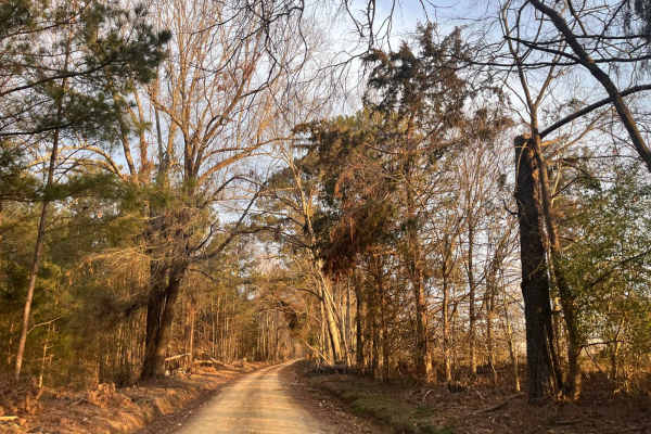
Ephrian Road
Come and check out some of the Sumter National Forest and what it has to offer. The road is a sand, gravel, and red clay mix. As you drive down through the southern pine forests and single-lane roads, you will come across a variety of wildlife as it darts in and out of the roadway. You will pass ove...
Learn more about Ephrian Road
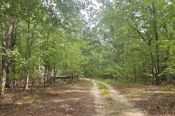
Bernett Road - FS 668/668A
Bernett Road drives deeper into Sumpter National Forest, connecting to U.S. Forestry Roads 668 and 668A. All portions of the trail are generally well-maintained and can be traveled by most vehicles. Beautiful scenery can be observed throughout the drive, and it offers several locations for potential...
Learn more about Bernett Road - FS 668/668A

Wildplum Road
This is a mild challenging road that throws you off at first due to its name. This road will take you through some rough terrain that will make you hope you packed some recovery gear. The road is mostly red clay, compacted sand, and light gravel mix. It has several hills that are rutted and contain ...
Learn more about Wildplum Road
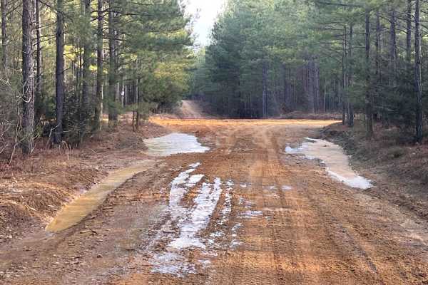
Loop De Loop Road
Loop De Loop Road is exactly how it is described. It is a compacted sand, gravel, and red clay mix road that throws some adventure your way. It has several hills that can be challenging either way you enter. The red clay gives you a chance to tighten your grip on the wheel as you navigate this route...
Learn more about Loop De Loop Road
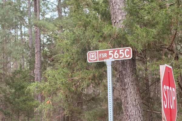
FS 565C
This trail resides inside the Sumter National Forest and branches off of the South Carolina Adventure Route. It is an out-and-back two-track that ends in a large clearing. It is accessible by virtually any vehicle as the trail surface is primarily poured gravel with occasional patches of hard-packed...
Learn more about FS 565C
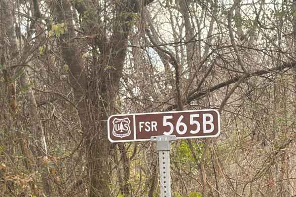
FS 565B
This trail resides inside the Sumter National Forest and branches off of the South Carolina Adventure Route. It is an out-and-back two-track that ends in a large clearing. It is accessible by virtually any vehicle as the trail surface is primarily poured gravel with occasional patches of hard-packed...
Learn more about FS 565B
Beginner ATV trails near Greenwood, South Carolina
Explore ATV-friendly trails near you. These trails are accessible for vehicles up to 50 inches wide, perfect for ATVs and smaller off-road machines.
Campsite Road
Provides access to Campsites 2 through 6. This area is riddled with short twisties that can get you turned around easily. Keep track of the map so you don't get lost getting back to camp. Keep in mind that a few of the mudholes can be very deep- stay out, or you might need a rescue.
Learn more about Campsite Road
Water Cooler
Water Cooler trail may look like a straightforward loop, but in reality, it is a maze of tight twisties in the sand. Great place to practice wheeling in off-camber situations as well as testing your rig's flex and balance. Easy sand trails, but watch out for standing water, it changes with the tide ...
Learn more about Water Cooler
River Road
West side perimeter road following the river at the bottom of the hill. Portions may flood if the river is up. Easy 2-way trail, but can be VERY muddy. Stay out of the water- It's DEEP! River Road provides access to the lower entry or exit points of many of the park's trails. It also runs through t...
Learn more about River Road
Trail 56
This is a two-way trail that provides another green route between Trail 1 on the upper part of the park to River Road on the lower part of the park. Keep to the right going downhill to stay on the green trail, or pick the hard side on Trail 56 Ledge for the added fun of an area of rock ledges.
Learn more about Trail 56
Beginner UTV/side-by-side trails near Greenwood, South Carolina
Find UTV and side-by-side trails near you. These trails accommodate vehicles up to 60 inches wide, ideal for UTVs, side-by-sides, and wider off-road rigs.
Campsite Road
Provides access to Campsites 2 through 6. This area is riddled with short twisties that can get you turned around easily. Keep track of the map so you don't get lost getting back to camp. Keep in mind that a few of the mudholes can be very deep- stay out, or you might need a rescue.
Learn more about Campsite Road
Water Cooler
Water Cooler trail may look like a straightforward loop, but in reality, it is a maze of tight twisties in the sand. Great place to practice wheeling in off-camber situations as well as testing your rig's flex and balance. Easy sand trails, but watch out for standing water, it changes with the tide ...
Learn more about Water Cooler
River Road
West side perimeter road following the river at the bottom of the hill. Portions may flood if the river is up. Easy 2-way trail, but can be VERY muddy. Stay out of the water- It's DEEP! River Road provides access to the lower entry or exit points of many of the park's trails. It also runs through t...
Learn more about River Road
Trail 56
This is a two-way trail that provides another green route between Trail 1 on the upper part of the park to River Road on the lower part of the park. Keep to the right going downhill to stay on the green trail, or pick the hard side on Trail 56 Ledge for the added fun of an area of rock ledges.
Learn more about Trail 56
The onX Offroad Difference
onX Offroad combines trail photos, descriptions, difficulty ratings, width restrictions, seasonality, and more in a user-friendly interface. Available on all devices, with offline access and full compatibility with CarPlay and Android Auto. Discover what you're missing today!
Open Trail Map