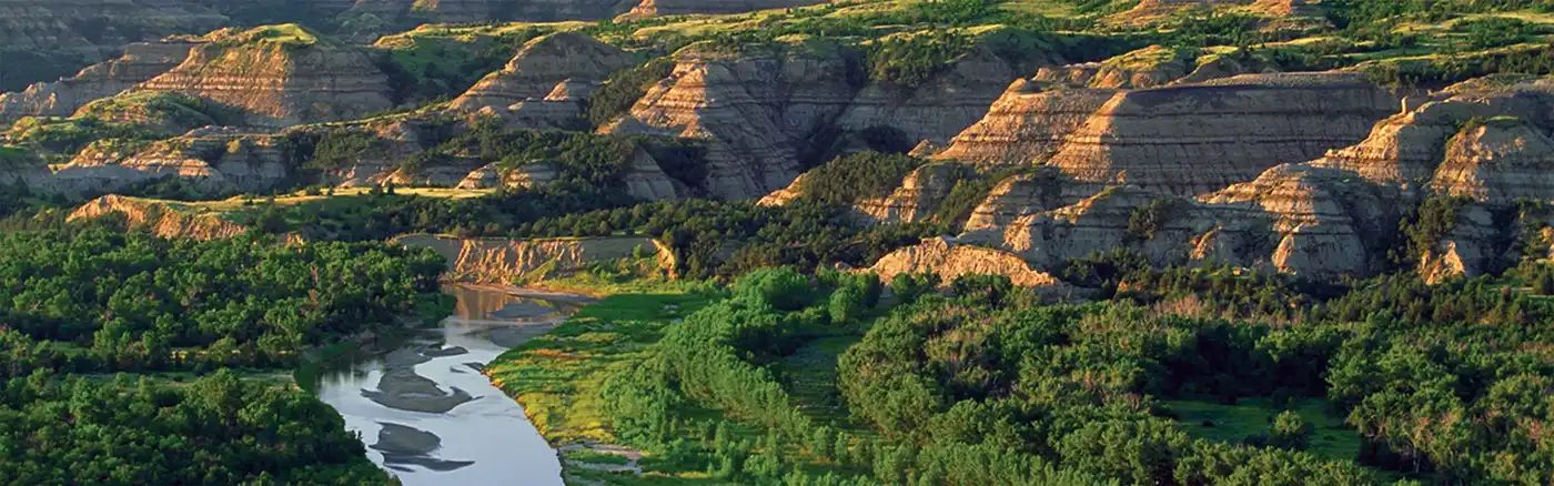
Beginner Off-Road Trails
Near Greenwald, Minnesota
Explore All Beginner Trails Near Greenwald, Minnesota
Beginner Off-Road Trails Near Greenwald, Minnesota
Discover the best beginner-friendly off-road trails near you. These easier, lower-rated trails are a great place to start — browse trail maps, check difficulty ratings, and find your next adventure.
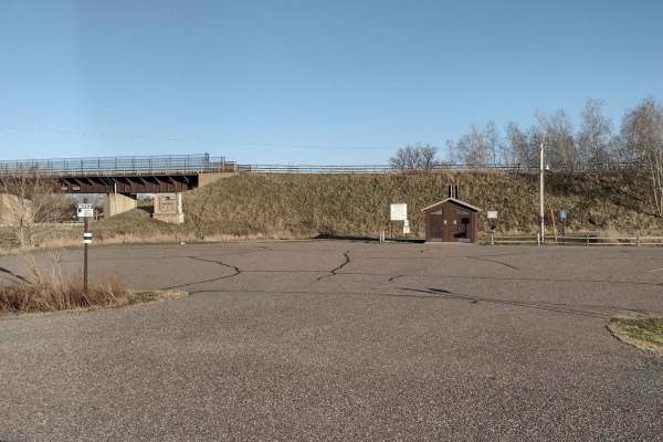
Trailhead Parking to Genola
This section of Soo Line South is an easy trail with a great parking lot at the trailhead that has lots of room for trailers. The parking lot has security cameras and two vault-type restrooms. The parking lot and first few hundred feet of trail going up the hill from the parking lot's northwest end ...
Learn more about Trailhead Parking to Genola
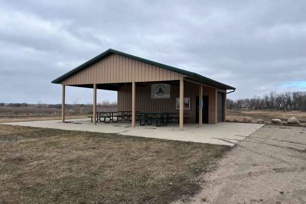
Meeker County OHV Park Outer Loop
Narrow and winding trails travel through this 40-acre parcel of woods. There is a youth training area on site, as well as a picnic shelter area, restroom facilities, and plenty of parking. There is a constructed mud pit area and good cell service. Standard Minnesota ATV permits/licenses are required...
Learn more about Meeker County OHV Park Outer Loop

Genola to Hillman
Genola to Hillman on the Soo Line South Trail is a section of converted rail grade that is 12 miles long and takes about 40 minutes with an average speed of 19.6 mph. This section of the Soo Line South Trail is provided by Morrison County and maintained by the Eastern Morrison County 4 Wheelers Club...
Learn more about Genola to Hillman
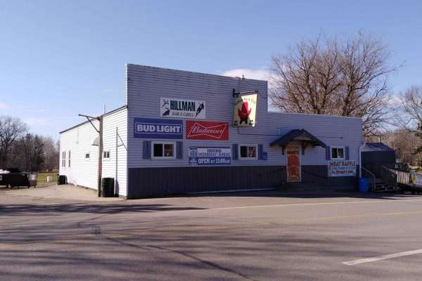
Hillman to Onamia
Hillman to Onamia on the Soo Line South Trail is a section of converted rail grade. At 12 miles long, it takes about 30 minutes with an average speed of 24.1 mph. This section of the Soo Line South Trail is provided by Mille Lacs County and maintained by the Mille Lacs Drift Skippers Snowmobile/ATV ...
Learn more about Hillman to Onamia
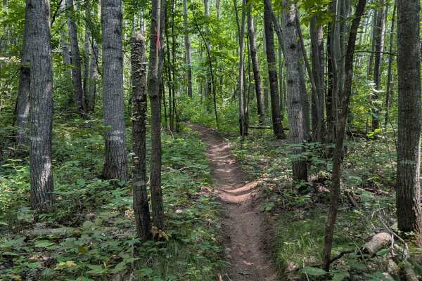
Outer Loop
Located just east of Brainerd, Minnesota, this loop is part of the Miller Hills trail system. This outer loop snakes around the outer bounds of the North East section of the trail. The single track trail features many tight turns, lots of exposed rocks, ruts, and steep hills. Many fallen trees and a...
Learn more about Outer Loop
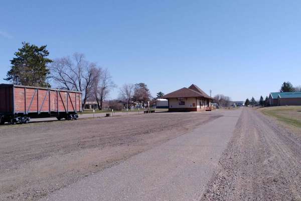
Onamia to Wahkon
Onamia to Wahkon on the Soo Line South is a section of converted rail grade. At 8.2 miles long, it takes about 30 minutes with an average speed of 13.7 MPH. This section of the Soo Line South Trail is provided by Mille Lacs County and maintained by the Mille Lacs Drift Skippers Snowmobile/ATV Club. ...
Learn more about Onamia to Wahkon
Beginner ATV trails near Greenwald, Minnesota
Explore ATV-friendly trails near you. These trails are accessible for vehicles up to 50 inches wide, perfect for ATVs and smaller off-road machines.
Trailhead Parking to Genola
This section of Soo Line South is an easy trail with a great parking lot at the trailhead that has lots of room for trailers. The parking lot has security cameras and two vault-type restrooms. The parking lot and first few hundred feet of trail going up the hill from the parking lot's northwest end ...
Learn more about Trailhead Parking to Genola
Meeker County OHV Park Outer Loop
Narrow and winding trails travel through this 40-acre parcel of woods. There is a youth training area on site, as well as a picnic shelter area, restroom facilities, and plenty of parking. There is a constructed mud pit area and good cell service. Standard Minnesota ATV permits/licenses are required...
Learn more about Meeker County OHV Park Outer Loop
Genola to Hillman
Genola to Hillman on the Soo Line South Trail is a section of converted rail grade that is 12 miles long and takes about 40 minutes with an average speed of 19.6 mph. This section of the Soo Line South Trail is provided by Morrison County and maintained by the Eastern Morrison County 4 Wheelers Club...
Learn more about Genola to Hillman
Hillman to Onamia
Hillman to Onamia on the Soo Line South Trail is a section of converted rail grade. At 12 miles long, it takes about 30 minutes with an average speed of 24.1 mph. This section of the Soo Line South Trail is provided by Mille Lacs County and maintained by the Mille Lacs Drift Skippers Snowmobile/ATV ...
Learn more about Hillman to Onamia
Beginner UTV/side-by-side trails near Greenwald, Minnesota
Find UTV and side-by-side trails near you. These trails accommodate vehicles up to 60 inches wide, ideal for UTVs, side-by-sides, and wider off-road rigs.
Trailhead Parking to Genola
This section of Soo Line South is an easy trail with a great parking lot at the trailhead that has lots of room for trailers. The parking lot has security cameras and two vault-type restrooms. The parking lot and first few hundred feet of trail going up the hill from the parking lot's northwest end ...
Learn more about Trailhead Parking to Genola
Meeker County OHV Park Outer Loop
Narrow and winding trails travel through this 40-acre parcel of woods. There is a youth training area on site, as well as a picnic shelter area, restroom facilities, and plenty of parking. There is a constructed mud pit area and good cell service. Standard Minnesota ATV permits/licenses are required...
Learn more about Meeker County OHV Park Outer Loop
Genola to Hillman
Genola to Hillman on the Soo Line South Trail is a section of converted rail grade that is 12 miles long and takes about 40 minutes with an average speed of 19.6 mph. This section of the Soo Line South Trail is provided by Morrison County and maintained by the Eastern Morrison County 4 Wheelers Club...
Learn more about Genola to Hillman
Hillman to Onamia
Hillman to Onamia on the Soo Line South Trail is a section of converted rail grade. At 12 miles long, it takes about 30 minutes with an average speed of 24.1 mph. This section of the Soo Line South Trail is provided by Mille Lacs County and maintained by the Mille Lacs Drift Skippers Snowmobile/ATV ...
Learn more about Hillman to Onamia
The onX Offroad Difference
onX Offroad combines trail photos, descriptions, difficulty ratings, width restrictions, seasonality, and more in a user-friendly interface. Available on all devices, with offline access and full compatibility with CarPlay and Android Auto. Discover what you're missing today!
Open Trail Map