
Beginner Off-Road Trails
Near Gas, Kansas
Explore All Beginner Trails Near Gas, Kansas
Beginner Off-Road Trails Near Gas, Kansas
Discover the best beginner-friendly off-road trails near you. These easier, lower-rated trails are a great place to start — browse trail maps, check difficulty ratings, and find your next adventure.
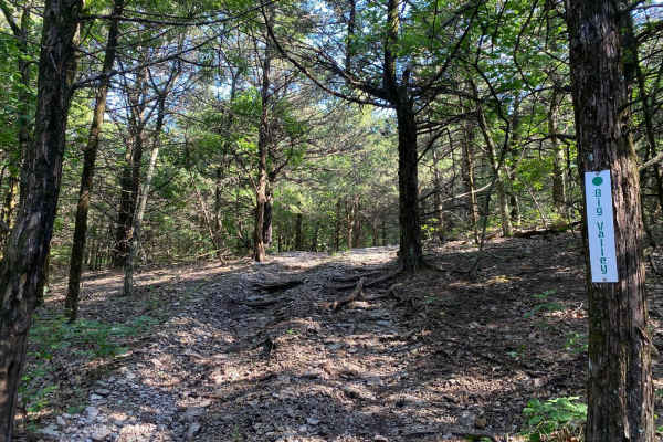
Big Valley
This trail is located in the South Forty Area of the park. Big Valley begins right where Ron's Rock ends. This is more of a scenic drive that winds through the trees. Depending on recent rainfall, this trail could be very muddy. If you follow this trail all the way, it will connect you back to Shan ...
Learn more about Big Valley
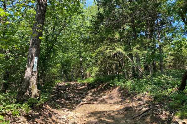
Mike's Malice
Mike's Malice is located within the Rocky Ridge Area of the park. This trail runs along the top of several other trails in this area. You will cross over Creek Run at one end of this trail. Both ends of this trail connect to West Bottoms.
Learn more about Mike's Malice
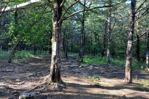
Tony's Playtime
Tony's Playtime is located in the South Forty Area of the Park. This trail starts close to the top of Ron's Rock. This is more of a scenic drive as you wind through the trees. It can be very muddy in the middle of the trail. It ends where Cedar Way begins.
Learn more about Tony's Playtime
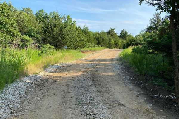
Main Loop
As the name implies, this is the Main Loop trail. This is the first trail you will touch when you are heading out from the office and it will be the last trail you touch when checking out of the office. This is a part of the main loop trail system that runs through the park and will run you directly...
Learn more about Main Loop
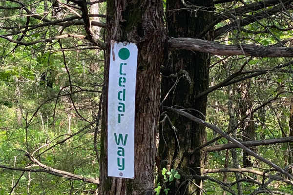
Cedar Way
This trail is relatively mild to start. It is part of the South Forty Area. When you come to the T-intersection, the trail switches from a mild-rated trail to a moderate-rated trail; it is more off-camber and has bigger rocks throughout its remainder. You will be led straight onto Trail #4 (Shan Che...
Learn more about Cedar Way
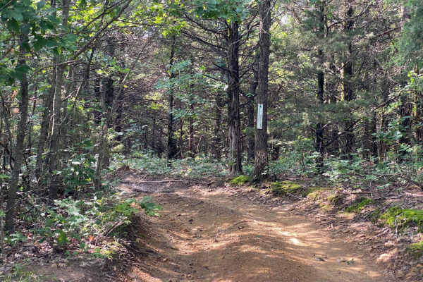
Randy's Relief
Randy's Relief is a non-directional trail in the Gina's Giggle Gulch Area of the park. You can access this trail from the Main Loop. The only connecting trail is Burgoon's Black Snake. There is a small loop section on one end of the trail. You will exit this trail the same way you entered it from th...
Learn more about Randy's Relief
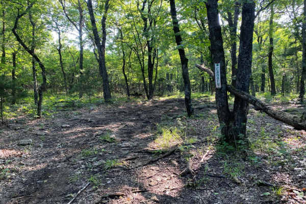
Canary
Canary is a non-directional trail within the Timber Hill area of the park. This could be considered an early connector trail for Wayne's World and Jeremy's Jaunt. You will come to a few spots where a tree is in the middle of the trail, the trail splits both left and right, and then it reconnects.
Learn more about Canary
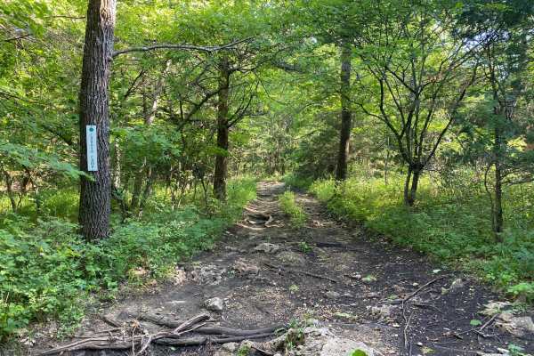
Coyote Camp
Coyote Camp is located in the South Forty Area of the park. This is an off-shoot trail of Shan Chele. Coyote Camp branches off left and right when coming from Shan Chele. The left track will take you back to Shan Chele and Cedar Way, while the right will take you to Brush Dinger. This trail is sligh...
Learn more about Coyote Camp
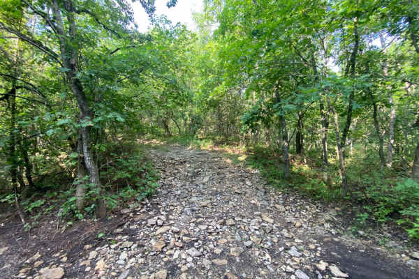
S Loop
S Loop is located within the South Forty Area of the park. This trail connects to Cedar Way and Big Valley at either end. S Loop is a very short trail that could be used as a turnaround for Big Valley. S Loop could be used as an access point to Big Valley if coming from Shan Chele.
Learn more about S Loop
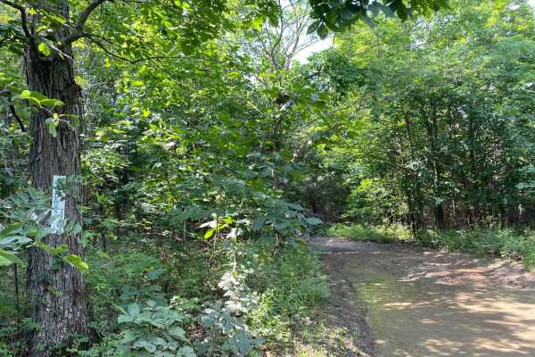
Jeremy's Jaunt
Jeremy's Jaunt is a trail within the Timber Hill and the Turkey Hills areas of the park. When coming from East Hill, the trail comes to a split where you can go left or you can go right. Left leads you to more technical and difficult trails. The right side winds through the trees and connects you to...
Learn more about Jeremy's Jaunt
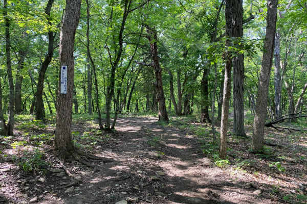
Possum Point
Possum Point is a non-directional trail within the Turkey Hill area of the park. This trail connects to Jeremy's Jaunt at one end and Troxel's Trough at the other end. The trail Sugar Maple runs parallel to this. The drive on this trail is more of a scenic drive through the trees with a slightly ste...
Learn more about Possum Point
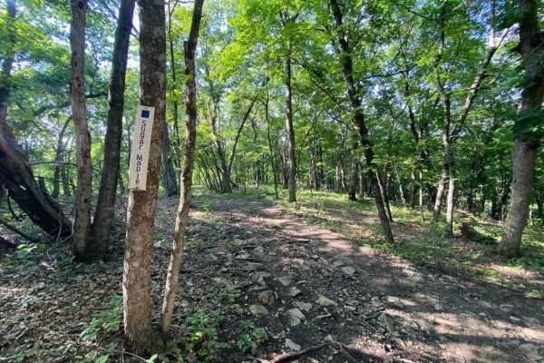
Sugar Maple
Sugar Maple is a non-directional trail within the Turkey Hill area of the park. This trail connects to Jeremys Jaunt at one end and Troxel's Trough at the other end. It also runs parallel to Possum Point and Ruff's Ride. Similar to Possum Point, this is more of a scenic drive through the trees with ...
Learn more about Sugar Maple
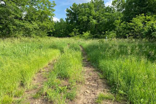
Brandy's Dandy
Brandy's Dandy is an easy loop trail over by the old barn. This is a non-directional trail. One section is very overgrown in the center and could cause fires. The other side is made of gravel and will connect you to East Autobahn. There is a picnic area on the trail but it's closer to the old barn.
Learn more about Brandy's Dandy
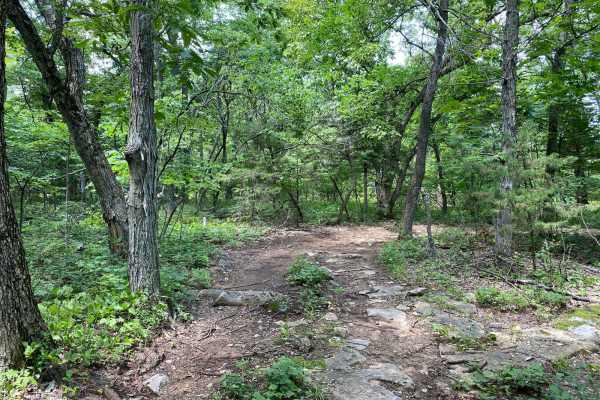
Jake's Cheek
Jake's Cheek is a trail that is located within the outskirts of the Buck Hill Area of the park. This trail is a small off-shoot trail for Only in a Jeep as well as Jakes Crack. There appears to be an old mountain bike bridge on one side of this trail in the trees.
Learn more about Jake's Cheek
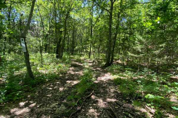
Cherokee Channel
Cherokee Channel is a very short trail. This could be considered a connector trail or alternative trail instead of continuing around Heartbreak Ridge. It is not well-traveled, so there is overgrowth throughout the trail. The surface of the trail is mostly dirt with various rocks and tree roots stick...
Learn more about Cherokee Channel
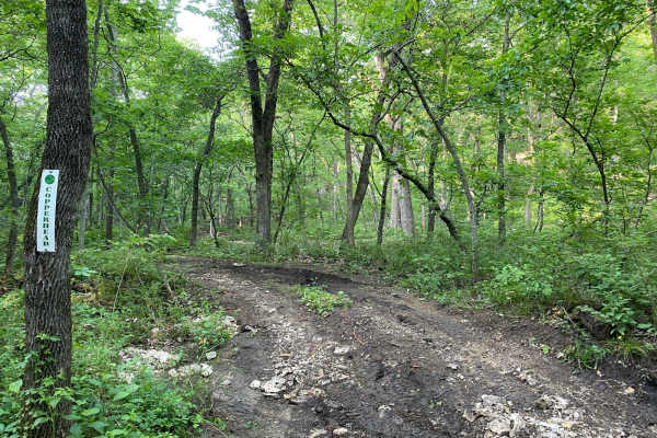
Copperhead
Copperhead is a very short trail that can be used as a connector trail for Rattlesnake Alley, 4x4 Land, and Deliverance. It can be very muddy where it connects to Rattlesnake Alley and Deliverance. This short trail is mostly made up of dirt. If there weren't signs for this trail, you wouldn't know i...
Learn more about Copperhead
3 Hour Tour
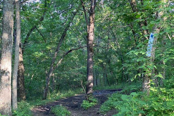
Despite the name, 3 Hour Tour is a rather short trail. There are areas that are slightly rutted out and will put your vehicle off-camber. This trail is also muddy in some spots. 3 Hour Tour overlaps with Deliverance and Rattlesnake Alley when down in the creekbed.
Learn more about 3 Hour Tour
Fruit Loop
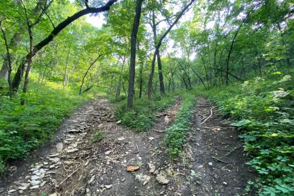
As the name implies, this trail is a loop. Fruit Loop is located between where 4x4 Land joins 3 Hour Tour. This is a very short loop that can be tight between the trees. One side of the loop is rocky with some standing water in a few spots, while the other side is more dirt with tree roots sticking ...
Learn more about Fruit Loop
West Bottoms
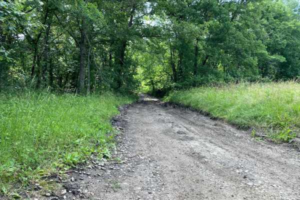
Do not get the name of this trail confused with Bikini Bottom from Spongebob--this is West Bottoms! West Bottoms runs along the west boundary line of the park. This main loop trail is connected to Buckeye Boonies at one end and East Hill and Main Loop trail at the other. You will have access to many...
Learn more about West Bottoms
English John
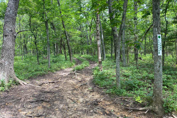
English John is a loop trail that starts and ends on Jared's Junk. Some curves through the trees are tight for longer-wheelbase and wider vehicles. The middle of the track is overgrown with grass and weeds, so be cautious of heat from the underside of your vehicle potentially starting a fire.
Learn more about English John
Beginner ATV trails near Gas, Kansas
Explore ATV-friendly trails near you. These trails are accessible for vehicles up to 50 inches wide, perfect for ATVs and smaller off-road machines.
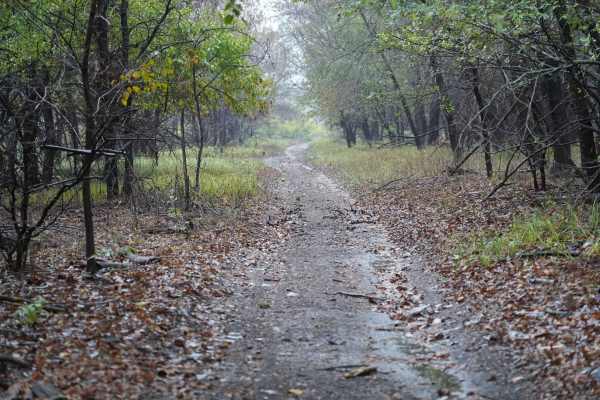
Otter Creek Main Trail
This 2 1/2 mile Trail takes you through the Otter Creek ORV area. The trail is mostly flat, with a few slight elevation changes, and some mud holes that can get deep; however, they are relatively easy to either split or go around entirely. Everything from a small ATV up should have no problem. If th...
Learn more about Otter Creek Main Trail
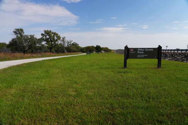
Lake Road
Lake Road is a graded rock road that is a quiet and peaceful drive to the lake at John Redmond Reservoir. This looked like a great spot for fishing or a picnic. There is no camping or fires allowed in this area; however, there is plenty of primitive or RV camping, with 110 hookups just on the other ...
Learn more about Lake Road
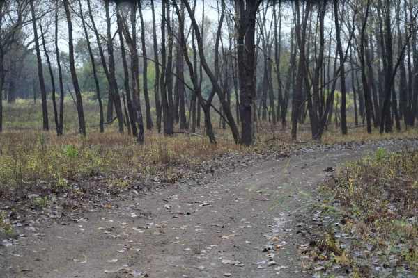
Otter Creek Inner Trail
The Inner trail connects with the main trail throughout the area. This trail is dirt with relatively shallow mud holes, rutted out tracks. This trail gets extremely muddy and slick with the rain. Most of the mud holes are near trees. Take caution with the ones that are not, as you may not have a way...
Learn more about Otter Creek Inner Trail
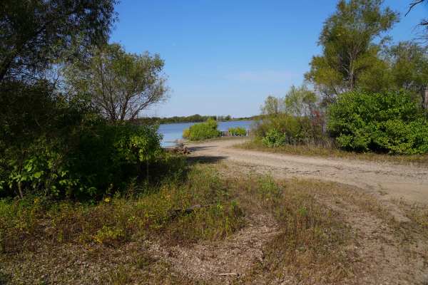
Lake Road West Fork
Lake Rd (west fork) is a graded rock road that forks off to the west for lake access. This was another a great spot for fishing or a picnic. There is a lot of native tallgrass prairie, and is on a flight path for migratory ducks and geese. There is no camping or fires allowed in this area, however t...
Learn more about Lake Road West Fork
Beginner UTV/side-by-side trails near Gas, Kansas
Find UTV and side-by-side trails near you. These trails accommodate vehicles up to 60 inches wide, ideal for UTVs, side-by-sides, and wider off-road rigs.
Big Valley
This trail is located in the South Forty Area of the park. Big Valley begins right where Ron's Rock ends. This is more of a scenic drive that winds through the trees. Depending on recent rainfall, this trail could be very muddy. If you follow this trail all the way, it will connect you back to Shan ...
Learn more about Big Valley
Mike's Malice
Mike's Malice is located within the Rocky Ridge Area of the park. This trail runs along the top of several other trails in this area. You will cross over Creek Run at one end of this trail. Both ends of this trail connect to West Bottoms.
Learn more about Mike's Malice
Tony's Playtime
Tony's Playtime is located in the South Forty Area of the Park. This trail starts close to the top of Ron's Rock. This is more of a scenic drive as you wind through the trees. It can be very muddy in the middle of the trail. It ends where Cedar Way begins.
Learn more about Tony's Playtime
Main Loop
As the name implies, this is the Main Loop trail. This is the first trail you will touch when you are heading out from the office and it will be the last trail you touch when checking out of the office. This is a part of the main loop trail system that runs through the park and will run you directly...
Learn more about Main Loop
The onX Offroad Difference
onX Offroad combines trail photos, descriptions, difficulty ratings, width restrictions, seasonality, and more in a user-friendly interface. Available on all devices, with offline access and full compatibility with CarPlay and Android Auto. Discover what you're missing today!
Open Trail Map