
Beginner Off-Road Trails
Near Elkfork, Kentucky
Explore All Beginner Trails Near Elkfork, Kentucky
Beginner Off-Road Trails Near Elkfork, Kentucky
Discover the best beginner-friendly off-road trails near you. These easier, lower-rated trails are a great place to start — browse trail maps, check difficulty ratings, and find your next adventure.
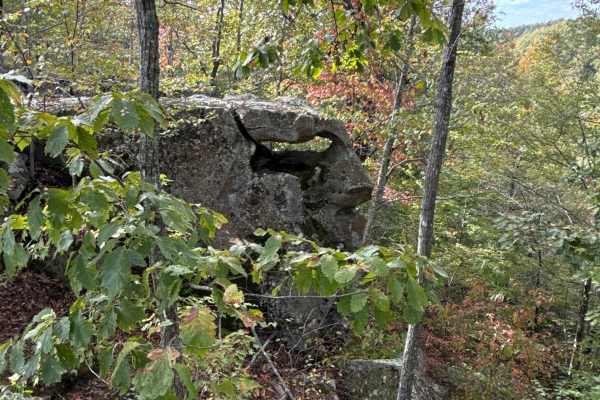
Board Tree Loop
Board Tree Loop is closed in November and December per the land owner's request. This is an easy route with all types of terrain and scenery. This trail offers off-road access to many of the already mapped trails in the area, and there will be more to come. This trail is a great spot to start your o...
Learn more about Board Tree Loop
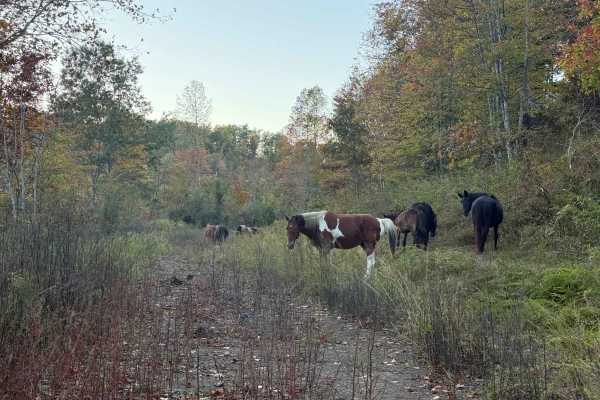
BTL
This trail, along with Board Tree Loop, is closed in November and December per the land owner's request. This trail is part of the Board Tree Loop, offering more options and possibilities to ride and explore. The path is easy to travel and takes you through a couple of large open old log yards with ...
Learn more about BTL
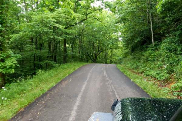
Myers Fork Road
Myers Fork Road is a paved county road that serves as a connector segment for the Daniel Boone Backcountry Byway. Stretching 11.5 miles north of Frenchburg through heavily forested valleys, this scenic route is suitable for all vehicles.
The route begins near US Highway 460 and travels northeast th...
Learn more about Myers Fork Road
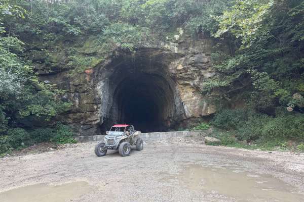
TipTop Tunnel Trail
The trail to TipTop Tunnel follows a wide, unmaintained gravel road through open fields and forest cut-throughs. While high ground clearance is helpful for smooth navigation, the overall terrain remains straightforward and easy-going. It offers a relaxed, scenic drive through nature that leads trave...
Learn more about TipTop Tunnel Trail
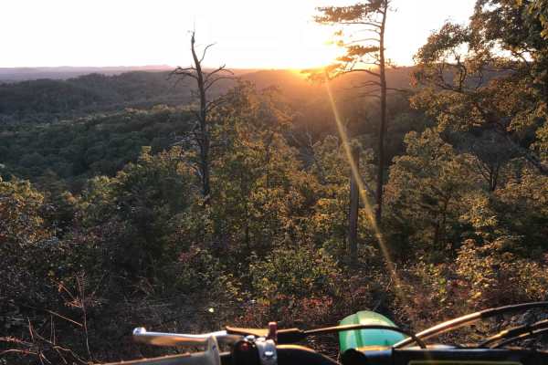
White Sulphur ATV Loop to Overlook
White Sulphur OHV Trail System is composed of several Forest Service roads and trails in the White Sulphur area, forming a 17-mile trail system of connecting loops. It is located near Cave Run Lake in the Cumberland Ranger District. The trail is located in moderately rugged terrain, primarily follow...
Learn more about White Sulphur ATV Loop to Overlook
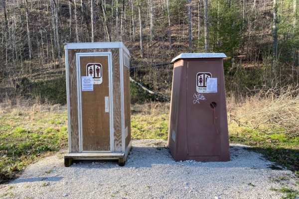
Indian Creek Road
Indian Creek Road located in one of the northern portions of Daniel Boone National Forest and is a popular local summer destination for camping, swimming, and fishing. The majority of the road is gravel, two vehicles wide, and well maintained. Camping spots are spread out along the entire length of ...
Learn more about Indian Creek Road
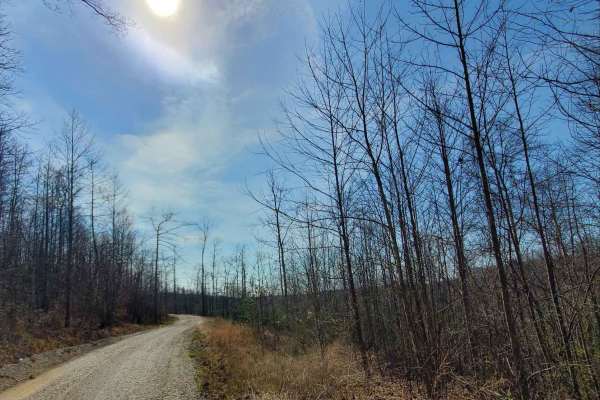
Amos Cut
Nice, easy gravel road, following an abandoned railroad. It offers views of the valley below and an operational rock quarry across the way. This road is an abandoned rail bed from the days when the Red River Gorge was being logged. There are no obstacles along this route in typical conditions, but o...
Learn more about Amos Cut
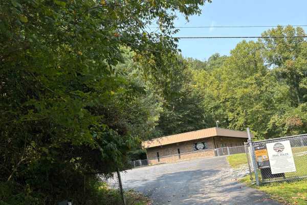
Martin County Trailhead to Trail 1
This is the First Frontier Appalachian Trails office/trailhead. This route takes you from the parking lot to Trail 1. Office/trailhead is located off Route 3 in Martin County. 3548 Davella Road, Debord, KY. There is a porta-john at the trailhead parking. Very easy parking is available in a gravel l...
Learn more about Martin County Trailhead to Trail 1
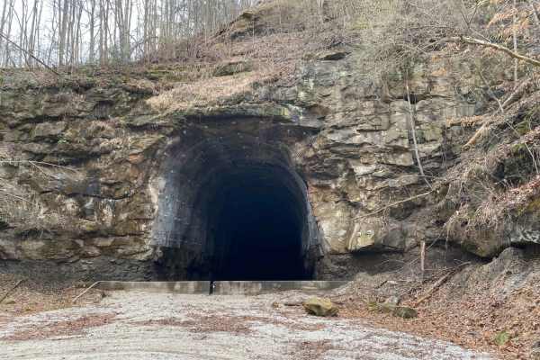
Decoy-Magoffin Loop
As with many trails in the under-development system that will become Eastern Kentucky's expansive off-road trail offerings, this route is a DIY adventure created by locals that know these mountains like the backs of their hands. Accessed from established trailheads like Mine Made Adventure Park and ...
Learn more about Decoy-Magoffin Loop
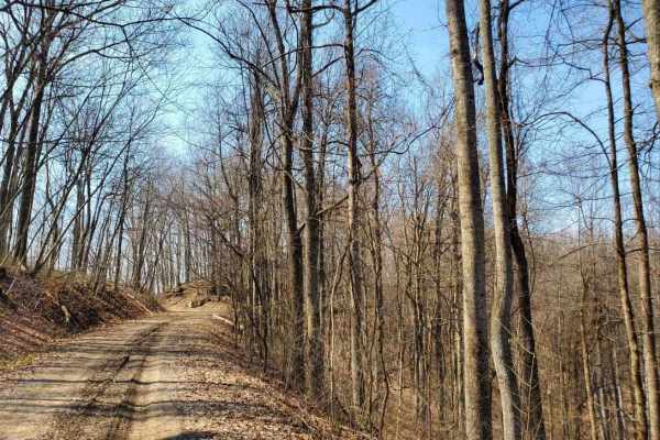
June Bug
Easy gravel drive on a semi-maintained Forest Service road. No destination, just out and back. Offers views of the valley below and geological formations to explore. seen two cave entrances. There is an abandoned cabin that sits off down in the valley below. Great trail for someone looking for a saf...
Learn more about June Bug
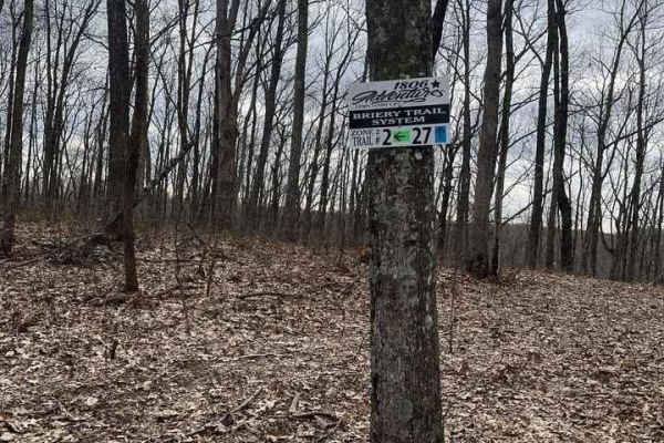
Trail 2 - High Ground
Start or end at the Abandon Communication Tower. The trail follows ridge tops the entire trail. There are tight sections, but they are passable in full-size vehicles. The trail stays dry 90% of the year and is suitable for all ages. The trail has some spur ridge lines off it for future trail expansi...
Learn more about Trail 2 - High Ground
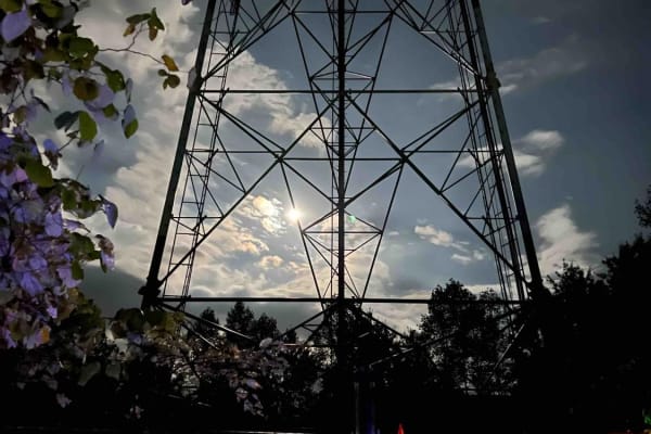
Trail 1 - Tower Ride
Trail 1 will start at the Straight Fork Parking area and ends in "Deep Hole Hollow." This Trail is well maintained and once on the ridge top, it is smooth and easy riding. Be sure to make the hard right at the 201 Trail intersection if you wish to continue on Trail 1. The Trail offers towering views...
Learn more about Trail 1 - Tower Ride
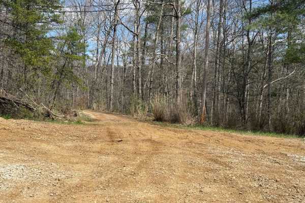
Trail 5
Trail 5 is an easy trail that leads and shoots of with many other trails. Those trails include 48, 13, 41, 42, 17, 9, 18, and 6. So many trails to choose from off this trail. You will also find Sand Lick Road that comes out onto Trail 5.
Learn more about Trail 5
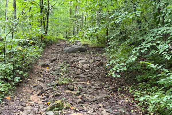
Little Buckhorn Waterfall Trail
This scenic woodland trail winds through a lush forest corridor, following a clear, rocky creek beneath a vibrant canopy of hardwoods and evergreens. Trail riders encounter a gentle waterfall, sandstone ledges, stream crossings, and rugged terrain. Rich with natural beauty and peaceful sounds, the t...
Learn more about Little Buckhorn Waterfall Trail
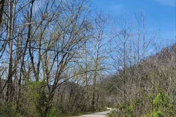
Bowen Service Road
Gravel service road for Bowen, Kentucky, that runs along the Mountain Parkway. This trail is out-and-back only, no thruway traffic. Ends at a farmer's field, which is closed off by a gate. It provides views of farmland and the Mountain Parkway along the way, with only a couple of shallow mudholes.
Learn more about Bowen Service Road
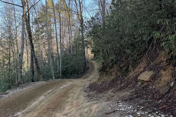
Trail 1
This is the main trailhead that leads into the park from the General Store, the Main Parking Lot, and other Camping and Parking Lots. The trail starts on gravel and is mostly dirt and gravel. The trail travels by a small lake and a dam. A couple of small inclines at the immediate start, leaving the ...
Learn more about Trail 1
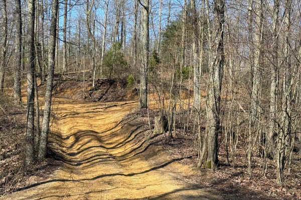
Trail 5A
Trail 5A is an easy connector trail for trails 3, 4, 7, 8, and 46. You will find plenty of room to pass other vehicles. This is an easy-maintained trail that will lead to other significant trails of the park to explore and ride on that come off of this trail.
Learn more about Trail 5A
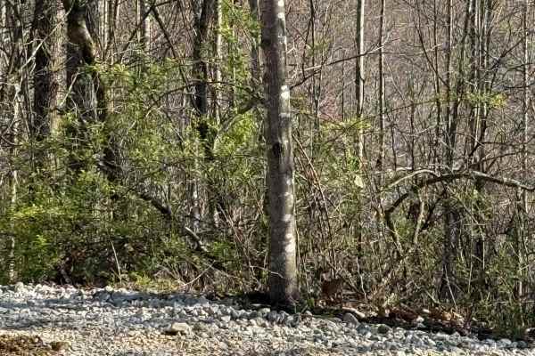
Trail 3
Trail 3 is an overall easy trail that runs between Trails 4 and 5. This trail is a quick run to the northeast side of the park to access several more difficult trails. Enjoy this easy ride on over to the other parts of the park to ride.
Learn more about Trail 3
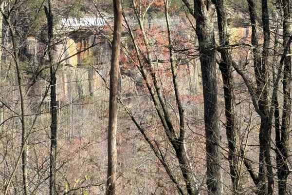
Trail 7
Trail 7 is a nice and easy scenic trail that starts out at Trail 5A and crosses over Trail 3. It travels along a ridge line and goes out to an area called Picinic Point. Here you will find wonderful views and some cool photo shots of the overlook area and the Hollerwood sign hanging from the cliffs.
Learn more about Trail 7
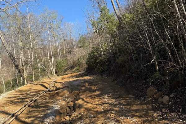
Trail 4A
This trail is a short loop off of Trail 4. This trail travels around and beside an old oil pump. The trail then goes down and beside Sand Lick Fork. The creek that flows through this area is surrounded by trees and is a nice place to stop before heading into the park.
Learn more about Trail 4A
Beginner ATV trails near Elkfork, Kentucky
Explore ATV-friendly trails near you. These trails are accessible for vehicles up to 50 inches wide, perfect for ATVs and smaller off-road machines.
Board Tree Loop
Board Tree Loop is closed in November and December per the land owner's request. This is an easy route with all types of terrain and scenery. This trail offers off-road access to many of the already mapped trails in the area, and there will be more to come. This trail is a great spot to start your o...
Learn more about Board Tree Loop
BTL
This trail, along with Board Tree Loop, is closed in November and December per the land owner's request. This trail is part of the Board Tree Loop, offering more options and possibilities to ride and explore. The path is easy to travel and takes you through a couple of large open old log yards with ...
Learn more about BTL
TipTop Tunnel Trail
The trail to TipTop Tunnel follows a wide, unmaintained gravel road through open fields and forest cut-throughs. While high ground clearance is helpful for smooth navigation, the overall terrain remains straightforward and easy-going. It offers a relaxed, scenic drive through nature that leads trave...
Learn more about TipTop Tunnel Trail
White Sulphur ATV Loop to Overlook
White Sulphur OHV Trail System is composed of several Forest Service roads and trails in the White Sulphur area, forming a 17-mile trail system of connecting loops. It is located near Cave Run Lake in the Cumberland Ranger District. The trail is located in moderately rugged terrain, primarily follow...
Learn more about White Sulphur ATV Loop to Overlook
Beginner UTV/side-by-side trails near Elkfork, Kentucky
Find UTV and side-by-side trails near you. These trails accommodate vehicles up to 60 inches wide, ideal for UTVs, side-by-sides, and wider off-road rigs.
Board Tree Loop
Board Tree Loop is closed in November and December per the land owner's request. This is an easy route with all types of terrain and scenery. This trail offers off-road access to many of the already mapped trails in the area, and there will be more to come. This trail is a great spot to start your o...
Learn more about Board Tree Loop
BTL
This trail, along with Board Tree Loop, is closed in November and December per the land owner's request. This trail is part of the Board Tree Loop, offering more options and possibilities to ride and explore. The path is easy to travel and takes you through a couple of large open old log yards with ...
Learn more about BTL
TipTop Tunnel Trail
The trail to TipTop Tunnel follows a wide, unmaintained gravel road through open fields and forest cut-throughs. While high ground clearance is helpful for smooth navigation, the overall terrain remains straightforward and easy-going. It offers a relaxed, scenic drive through nature that leads trave...
Learn more about TipTop Tunnel Trail
Amos Cut
Nice, easy gravel road, following an abandoned railroad. It offers views of the valley below and an operational rock quarry across the way. This road is an abandoned rail bed from the days when the Red River Gorge was being logged. There are no obstacles along this route in typical conditions, but o...
Learn more about Amos Cut
The onX Offroad Difference
onX Offroad combines trail photos, descriptions, difficulty ratings, width restrictions, seasonality, and more in a user-friendly interface. Available on all devices, with offline access and full compatibility with CarPlay and Android Auto. Discover what you're missing today!
Open Trail Map