
Beginner Off-Road Trails
Near Cherry Grove, Oregon
Explore All Beginner Trails Near Cherry Grove, Oregon
Beginner Off-Road Trails Near Cherry Grove, Oregon
Discover the best beginner-friendly off-road trails near you. These easier, lower-rated trails are a great place to start — browse trail maps, check difficulty ratings, and find your next adventure.
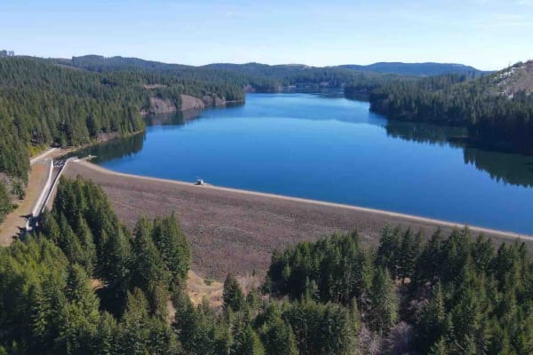
Barney Reservoir
Start at the Yamhill Reservoir on Northwest Turner Creek Road, about 8 miles northwest of Yamhill, Oregon. The Yamhill Reservoir is a small body of water on the south side of the road, and just past the Yamhill Reservoir is the water treatment plant. After the water treatment plant is a gate. As wit...
Learn more about Barney Reservoir
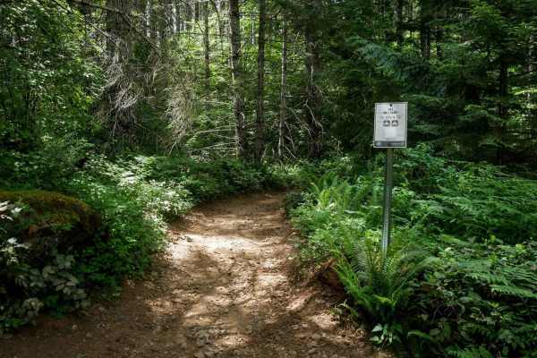
Military #43
Military is a 2-mile graded and maintained trail featuring sections lined with cement pavers and a wide two-track surface through dense forest. Although mostly wide, there are occasional narrow tree pinches where trees closely line the trail. The route is fast and flowy with gentle curves, a few lar...
Learn more about Military #43
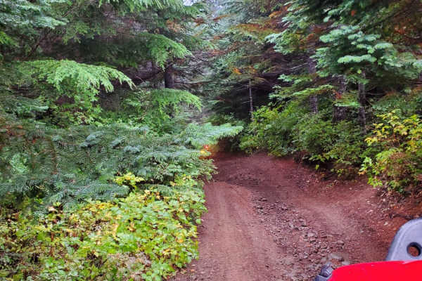
7 Up Ez
This is the easy side of 7 Up. It is fun and not as extreme as the hard side of 7 Up. Winding through the forest, there is a little bit of rutted-out dirt trial, some mud, rock sections, and lots of switchback turns. Lockers are not needed; just about any high clearance 4wd vehicle should be able to...
Learn more about 7 Up Ez
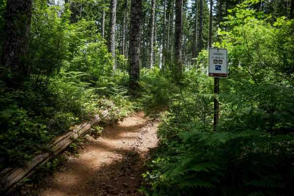
#9 Connector
This connector features a moderate climb from the north end through a fern-covered forest lined with western white pines. The trail surface consists of small loose rocks and occasional shallow ruts. After the initial climb, the trail descends gently along a hillside in a logged area with young pine ...
Learn more about #9 Connector
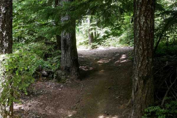
Clydes #7
Clydes is a 2-mile trail featuring an easy two-track route with frequent curves, small loose rocks, and occasional rutted or dug-out sections. The trail winds through a mossy, scenic forest of western white pines, with minor roots, water bars, and gentle, uneven terrain. There are a few straightaway...
Learn more about Clydes #7
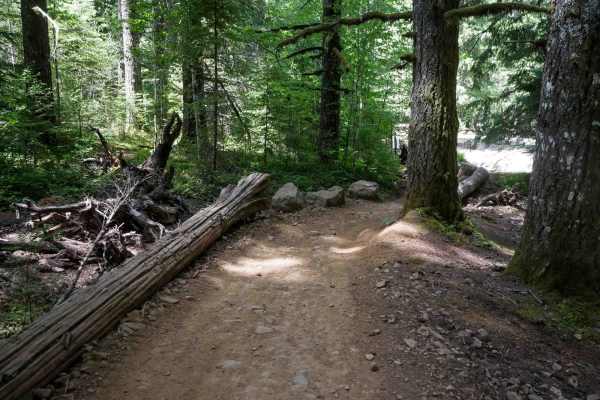
Kids Loop #86
Kids Loop is a short half-mile loop specifically designed for young or beginner riders. The trail is a decently wide ATV track that curves gently between the trees and is sometimes lined with logs as boundaries on the edge of the trail. It's located right next to the staging area, making it convenie...
Learn more about Kids Loop #86
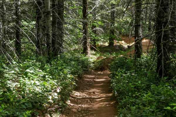
One-Way #98
This is a .8-mile directional loop trail that travels counterclockwise along a scenic forested corridor. This easy two-track is decently wide for ATVs and carved into the mossy Pacific Northwest landscape, with small loose rocks, shallow climbs, and naturally banked corners. Dense bushes and trees l...
Learn more about One-Way #98
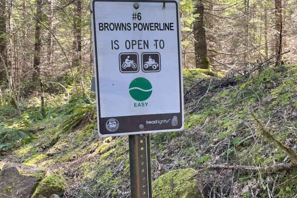
Brown's Powerline Connector
This trail just down from Brown's camp parking area. This is a dirt trail for 50-inch and smaller. It is marked easy level. A 50-inch side by side can get through if you don't have anything sticking out on the sides of vehicle, otherwise 4 wheeler and motorcycle best. It is narrow in some areas and ...
Learn more about Brown's Powerline Connector
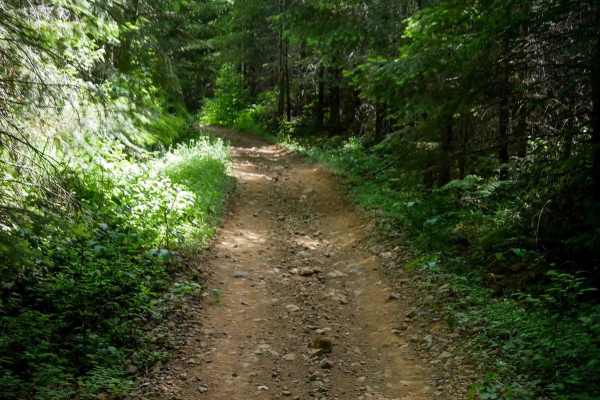
#43 Connector
#43 Connector is a short, less-than-half-mile segment that links Quarry to the main portion of the Military Trail. This easy two-track path features small loose rocks, a fairly flat and gradual grade, and a decently wide corridor suitable for most riders. About halfway through, there's a fun EnduroC...
Learn more about #43 Connector
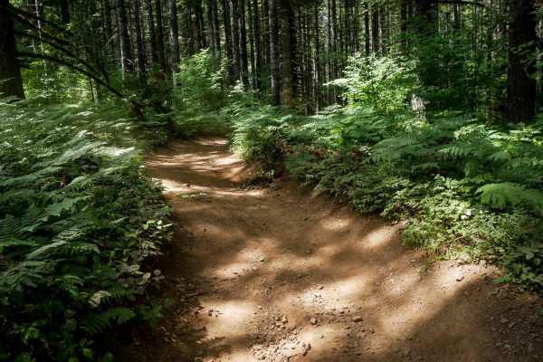
Quarry #44
Quarry #44 is a 0.7-mile ATV trail that begins with a short, steep section to enter the trail on the west end, over loose rock, then transitions into a wide and easy two-track winding through the forest. The trail features mild root bands, small rolling hills, and waterbars, but remains generally sm...
Learn more about Quarry #44
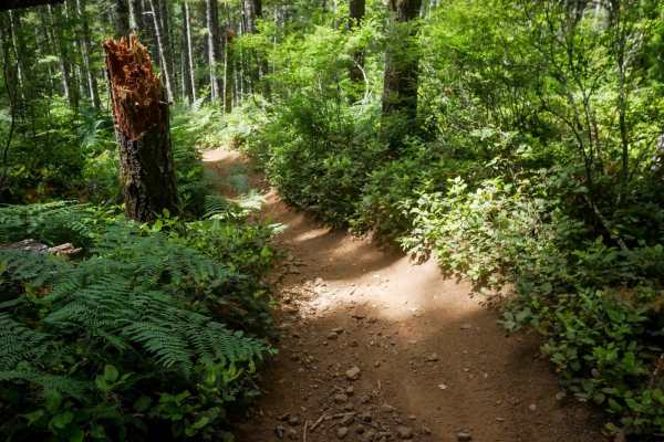
Crooked Bridge #3
Crooked Bridge #3 is a wide, fast, and flowy dirt ATV trail that's approachable for all skill levels. Starting from the southern entrance, it offers mostly straight sections with gentle curves and gradual grades, making it an enjoyable and low-stress ride. The trail surface consists of loose dirt wi...
Learn more about Crooked Bridge #3
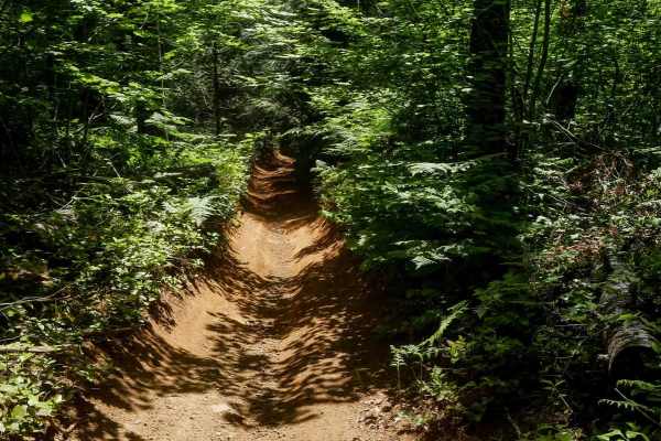
K Thumb #51
K Thumb #51 is a short, easy trail measuring 0.6 miles that winds through the forest with a gradual climb from south to north. The route is notably curvy, with small loose rocks, some embedded rock, and light ruts in a few dug-out sections. Despite these minor features, the trail remains very manage...
Learn more about K Thumb #51
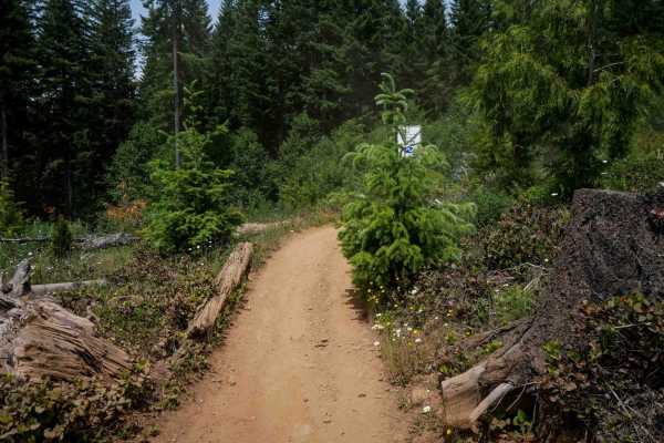
Rogers Camp Road #1
This is a 2-mile segment of Rogers Camp Road, a wide ATV trail running under a dense tree canopy. The route follows an easy grade with a smooth surface, scattered small loose rocks, and frequent gentle curves. While it has a few shelfy sections along the hillside, it remains highly manageable throug...
Learn more about Rogers Camp Road #1
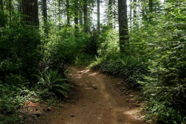
Marks #3A
Marks #3A is a short, half-mile ATV trail that winds through a forested area on a wide dirt path. With small loose rocks, gentle curves, and only mild elevation changes, it's well-suited for riders of all experience levels. The trail is fun, fast, and flowy, offering a relaxed ride despite some mino...
Learn more about Marks #3A
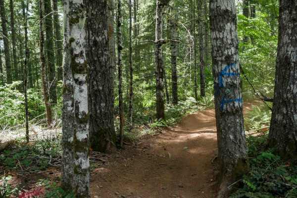
Firebreak One #2
Trail #2 is a half-mile-long, easy route that begins at the intersection with Trails #3 and #3A. It starts as a wide, road-width trail with small loose rocks and occasional waterbars before narrowing slightly as it passes between trees toward its northern end. It remains very manageable for all skil...
Learn more about Firebreak One #2
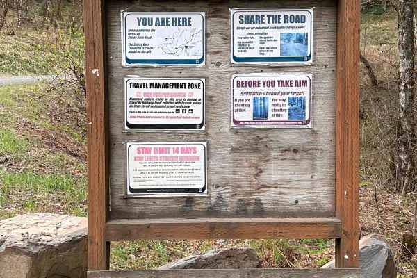
StoreyBurn
This is an easy forest road that gives access to Storey Burn Trailhead and hiking trails. There are a couple of nice viewpoints at the higher elevation. This is a main route to lumber operations so it is well groomed. There are not very many dispersed camping spots and while there's signage that wel...
Learn more about StoreyBurn
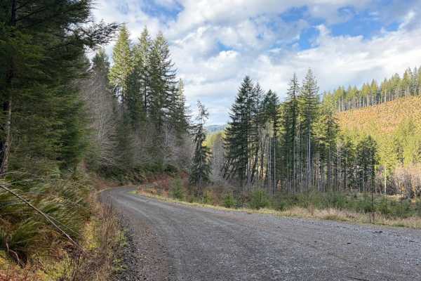
Ginger Creek Road
Scenic trail starting off in the foothills of the Oregon Coastal range, ascends to close to Dovre Peak at roughly 2,800ft elevation, then follows the meandering creeks and rivers on the way to the South Fork Trask River at the trail's end. Continue on Trask River Road to head to the beautiful coasta...
Learn more about Ginger Creek Road

Bell Mountain Loop
Right before you head up this loop you will go through an unnamed road. You will go through a big puddle and up a steep, loose hill with water running down one of the rutted sides, up and over a few water bars that you may think twice if you are in a car. But you never know. May also give it a shot ...
Learn more about Bell Mountain Loop
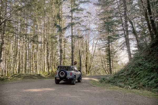
Boundary Road
This gravel route runs through the BLM Nestucca River Recreation Area, connecting Elk Creek Road to Ginger Creek Road, with access to spur roads and pullouts for day-use. The road is generally well-maintained and graded, with compacted gravel, though potholes and seasonal overgrowth, and downed tre...
Learn more about Boundary Road
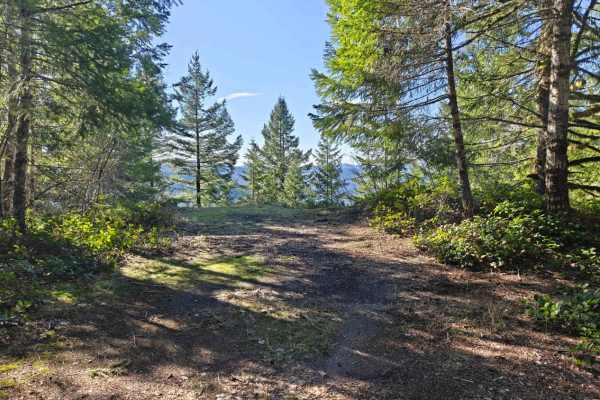
Idiot Creek Road
The 5.9-mile Idiot Creek Road is a captivating route of two entirely distinct halves, offering a highly dynamic driving experience through the Tillamook State Forest. Marked clearly at its start, the journey begins as a wonderfully smooth, single-lane gravel forest road. It climbs steadily and predi...
Learn more about Idiot Creek Road
Beginner ATV trails near Cherry Grove, Oregon
Explore ATV-friendly trails near you. These trails are accessible for vehicles up to 50 inches wide, perfect for ATVs and smaller off-road machines.
Military #43
Military is a 2-mile graded and maintained trail featuring sections lined with cement pavers and a wide two-track surface through dense forest. Although mostly wide, there are occasional narrow tree pinches where trees closely line the trail. The route is fast and flowy with gentle curves, a few lar...
Learn more about Military #43
7 Up Ez
This is the easy side of 7 Up. It is fun and not as extreme as the hard side of 7 Up. Winding through the forest, there is a little bit of rutted-out dirt trial, some mud, rock sections, and lots of switchback turns. Lockers are not needed; just about any high clearance 4wd vehicle should be able to...
Learn more about 7 Up Ez
#9 Connector
This connector features a moderate climb from the north end through a fern-covered forest lined with western white pines. The trail surface consists of small loose rocks and occasional shallow ruts. After the initial climb, the trail descends gently along a hillside in a logged area with young pine ...
Learn more about #9 Connector
Clydes #7
Clydes is a 2-mile trail featuring an easy two-track route with frequent curves, small loose rocks, and occasional rutted or dug-out sections. The trail winds through a mossy, scenic forest of western white pines, with minor roots, water bars, and gentle, uneven terrain. There are a few straightaway...
Learn more about Clydes #7
Beginner UTV/side-by-side trails near Cherry Grove, Oregon
Find UTV and side-by-side trails near you. These trails accommodate vehicles up to 60 inches wide, ideal for UTVs, side-by-sides, and wider off-road rigs.
7 Up Ez
This is the easy side of 7 Up. It is fun and not as extreme as the hard side of 7 Up. Winding through the forest, there is a little bit of rutted-out dirt trial, some mud, rock sections, and lots of switchback turns. Lockers are not needed; just about any high clearance 4wd vehicle should be able to...
Learn more about 7 Up Ez
Boundary Road
This gravel route runs through the BLM Nestucca River Recreation Area, connecting Elk Creek Road to Ginger Creek Road, with access to spur roads and pullouts for day-use. The road is generally well-maintained and graded, with compacted gravel, though potholes and seasonal overgrowth, and downed tre...
Learn more about Boundary Road
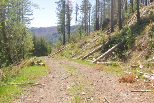
ZigZag Road - South
Zig Zag Road is an easy 3.8 mile gravel forest service road in the Tillamook Range. It is split into three sections (ZigZag Road North - 2.8miles, ZigZag Road South - .5 miles, and the ZigZag Trail - .5 miles) by a change in road surface and character. This easy level-two gravel road changes to a le...
Learn more about ZigZag Road - South
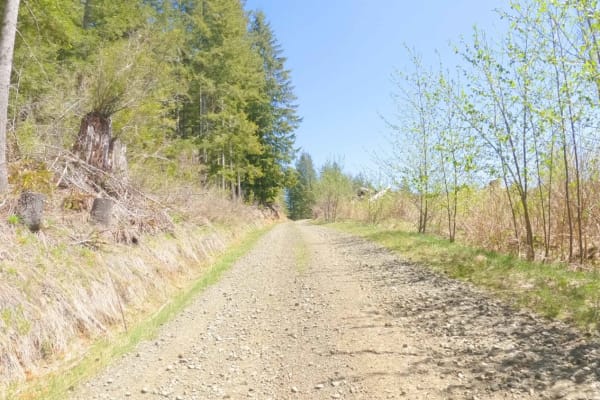
ZigZag Road - North
Zig Zag Road is an easy 3.8 mile gravel forest service road in the Tillamook Range. It is split into three sections (ZigZag Road North - 2.8 miles, ZigZag Road South - .5 miles, and the ZigZag Trail - .5 miles) by a change in road surface and character. This easy level-two gravel road changes to a l...
Learn more about ZigZag Road - North
The onX Offroad Difference
onX Offroad combines trail photos, descriptions, difficulty ratings, width restrictions, seasonality, and more in a user-friendly interface. Available on all devices, with offline access and full compatibility with CarPlay and Android Auto. Discover what you're missing today!
Open Trail Map