
Beginner Off-Road Trails
Near Cedar Bluff, Virginia
Explore All Beginner Trails Near Cedar Bluff, Virginia
Beginner Off-Road Trails Near Cedar Bluff, Virginia
Discover the best beginner-friendly off-road trails near you. These easier, lower-rated trails are a great place to start — browse trail maps, check difficulty ratings, and find your next adventure.
J1
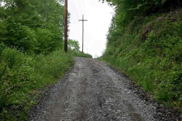
J1 serves as the main access route into the Jawbone trail system, beginning at the ATV trailhead and running over 16 miles to State Route 635. The trail starts as a wide, gravel two-lane road through town, with a quick climb under the powerlines near the J1 trail sign. The first 6 miles are a gradua...
Learn more about J1
J7
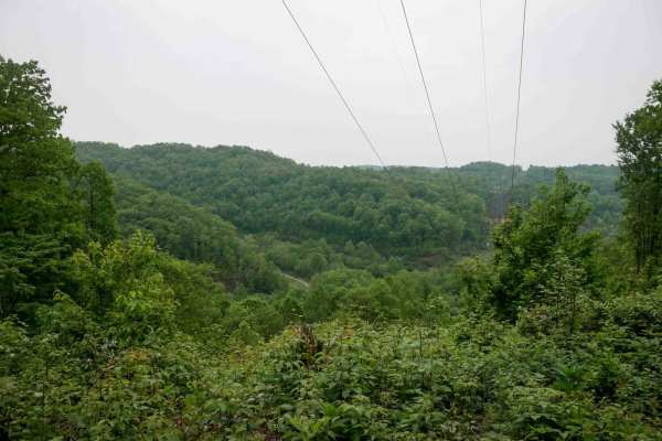
J7 is an easy, wide gravel and dirt route that curves south to north through the Jawbone trail system. It travels under the powerlines with open skies above, offering gradual elevation changes as it rolls over small hills. The trail surface is mostly smooth with shallow ruts and minimal rock, making...
Learn more about J7
J15
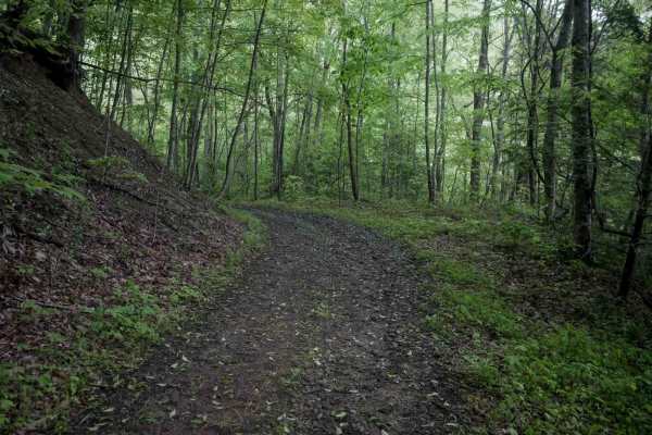
J15 is a 0.7-mile easy trail connecting two segments of J1. It runs as a wide, flat gravelly dirt path with loose rock and shallow ruts beneath powerlines, following the shelfy edge of a scenic hillside. The surrounding area features lush forest, offering a pleasant and accessible route with no tech...
Learn more about J15
J36
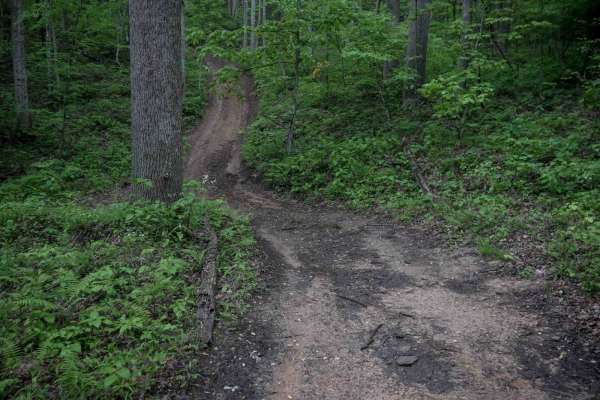
J36 begins on the west end as a very easy, loose-rock path along a power line route before entering the woods, where the terrain becomes more rugged. The trail transitions to an uneven, shelf-like path cut into the hillside with a rutted, steeper climb on the east end leading up to J7. While the wes...
Learn more about J36
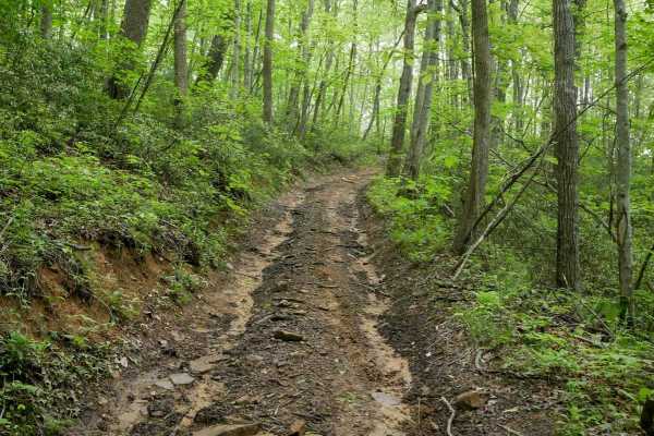
J72
J72 is a short quarter-mile connector between J1 and J35, passing through a lush forest of hickories and oaks. The trail follows a narrow shelf path cut into the hillside with gradual corners and a loamy dirt surface. Occasional large loose rocks and semi-steep grades add mild variety, but the trail...
Learn more about J72
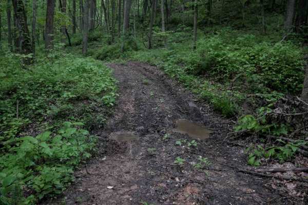
J16
J16 is an easy trail winding through scenic, lush forest with moderate overgrowth in the center of the track and loose rocks scattered throughout. The terrain is slightly uneven, with the south end featuring a steep climb that includes embedded and loose rock as it ascends to J75. Despite the inclin...
Learn more about J16
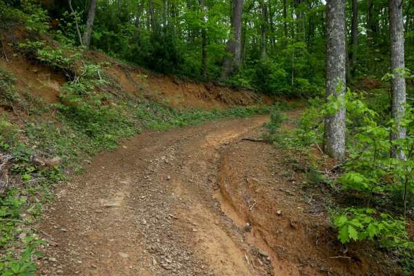
J40
J40 is a narrower trail that climbs from J1 into the woods with a tight switchback at the bottom. The ascent includes shallow ruts and a few sections of loose rock. The trail transitions onto a shelf path cut into the hillside, winding gradually before reaching a wide ridge along the hilltop. The ma...
Learn more about J40
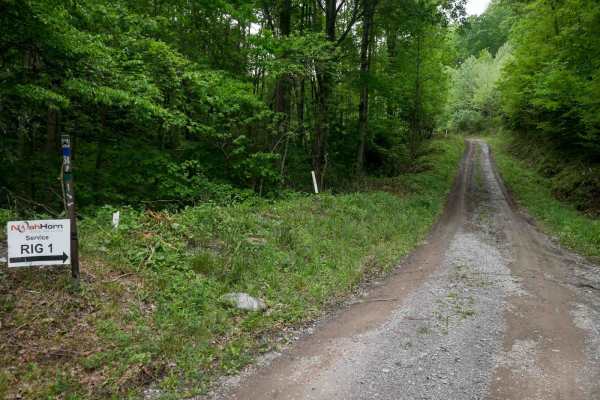
J34
J34 is an easy, gradual trail that begins as a wide, smooth path running alongside oil and gas infrastructure and under powerlines, with occasional mud puddles. The middle section narrows slightly as it enters dense, lush forest, providing access to moderate trails J71 and J81. Despite minor narrowi...
Learn more about J34
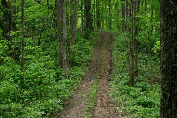
J33
J33 climbs into the woods off of J34 with semi-steep grades and a series of tighter switchbacks. The surface is mostly smooth, with occasional stick debris, small roots, and infrequent loose rock. As it reaches the ridgeline on the hilltop, it passes through a scenic forest of oaks and maples, where...
Learn more about J33
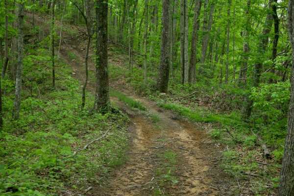
J32
J32 is a narrow, overgrown shelf path cut into the hillside, with a scenic ridge section along the spine of a hilltop. The surface is mostly smooth with shallow ruts, occasional stick debris, and gradual turns. It winds through a beautiful forest with a quiet, remote feel. The north end connects to ...
Learn more about J32
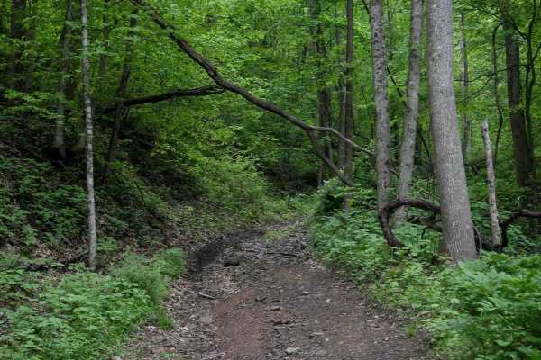
J43
J43 branches off from J34 and climbs into the forest on a semi-steep grade. The trail features loose rocks, shallow ruts, and gradual curves, providing a mostly easy ride. However, the incline makes it a bit more difficult, requiring slow and steady momentum. It ascends to the intersection with J70,...
Learn more about J43
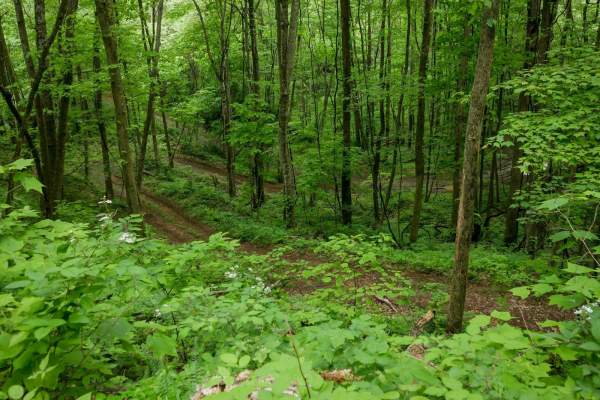
J70
J70 starts as a wide, smooth, gravelly route running under the powerlines before entering the forest along the spine of a hilltop, and narrowing up. The surface transitions to loamy soil with some loose sticks and tighter turns around the trees. Grades are semi-steep in a few spots but fully managea...
Learn more about J70
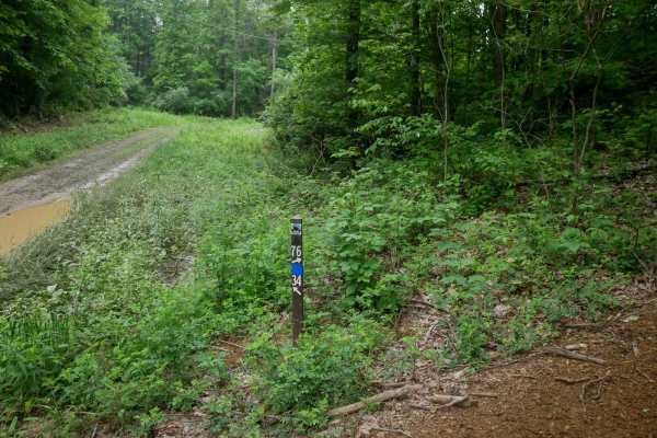
J76
J76 follows a ridgeline under dense forest and is primarily an easy trail with a smooth surface and no significant obstacles. It begins with a steep climb from J34 at the southern end but quickly levels into a gradual ascent along the ridge. The northern section transitions into a wider, gravelly po...
Learn more about J76
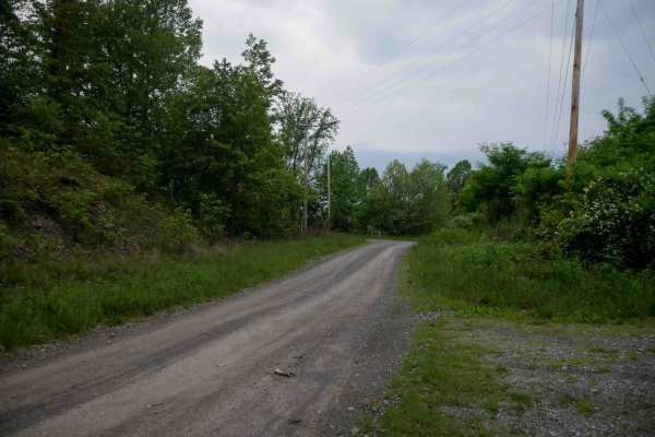
J4
J4 is a major, wide gravel access road running for 0.9 miles beneath powerlines, primarily serving utility and natural gas infrastructure. It provides easy access to several connecting trails, including the intersection with J31 on the north end. The surface is smooth and obstacle-free, with no tech...
Learn more about J4
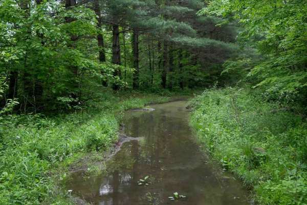
J38
J38 runs through dense woods on a decently wide shelf path cut into a hillside, paralleling a ravine with moisture often present on the trail. The surface includes loose rock and overgrown grass down the center, but poses no major obstacles. The trail pops out under powerlines onto a flat, easy grav...
Learn more about J38
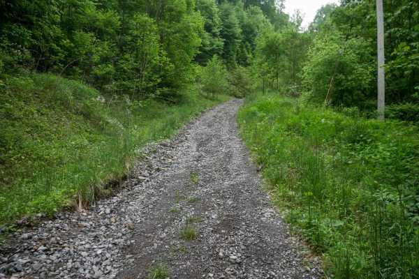
J31
J31 is an easy access corridor within the Jawbone system, with the northern half-mile consisting of a wide, flat gravel road under powerlines and no technical challenges. The southern segment branches off onto a slightly narrower but still wide gravel path, winding through open forest with scenic ro...
Learn more about J31
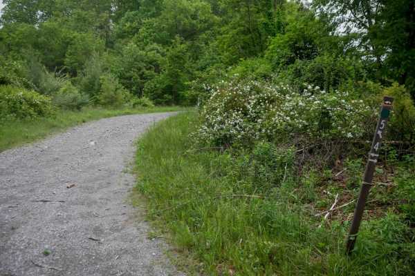
J5
J5 in the Jawbone trail system is a very short, 320-yard connector branching off J4 onto a wide, gravelly path. It provides a flat, smooth, and obstacle-free transition up to J31. This easy trail serves purely as a transitional route with no technical elements or notable features, making it ideal fo...
Learn more about J5
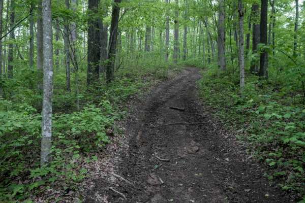
J39
J39 is a slightly more rugged connector between segments of J1, measuring just over a quarter mile. The trail features a steeper hill climb with loose rock of varying sizes, pronounced ruts, and scattered sticks and debris. It ascends into dense forest before reaching the ridgeline and ending under ...
Learn more about J39
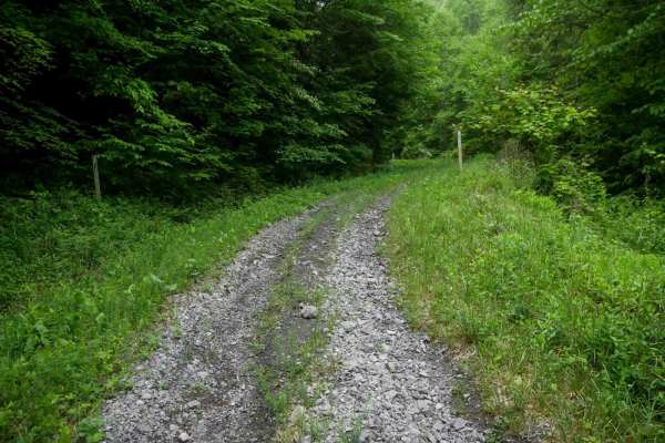
J37
J37 drops off the gravel surface of J2 into a more primitive path with overgrown grass, dense woods, and a steep grade with loose rock. The trail follows a gradual corner beneath powerlines and passes oil and gas infrastructure before reconnecting with another segment of J2. At under half a mile, it...
Learn more about J37
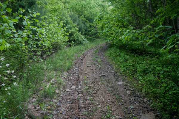
J30
J30 is a quarter-mile connector between J4 and J2 that offers a more primitive feel, with loose rocks and overgrown vegetation narrowing the trail between brush. While there are no major obstacles, the route is tighter and slightly more rugged than other nearby connectors. It descends on a semi-stee...
Learn more about J30
Beginner ATV trails near Cedar Bluff, Virginia
Explore ATV-friendly trails near you. These trails are accessible for vehicles up to 50 inches wide, perfect for ATVs and smaller off-road machines.
J1
J1 serves as the main access route into the Jawbone trail system, beginning at the ATV trailhead and running over 16 miles to State Route 635. The trail starts as a wide, gravel two-lane road through town, with a quick climb under the powerlines near the J1 trail sign. The first 6 miles are a gradua...
Learn more about J1
J7
J7 is an easy, wide gravel and dirt route that curves south to north through the Jawbone trail system. It travels under the powerlines with open skies above, offering gradual elevation changes as it rolls over small hills. The trail surface is mostly smooth with shallow ruts and minimal rock, making...
Learn more about J7
J15
J15 is a 0.7-mile easy trail connecting two segments of J1. It runs as a wide, flat gravelly dirt path with loose rock and shallow ruts beneath powerlines, following the shelfy edge of a scenic hillside. The surrounding area features lush forest, offering a pleasant and accessible route with no tech...
Learn more about J15
J36
J36 begins on the west end as a very easy, loose-rock path along a power line route before entering the woods, where the terrain becomes more rugged. The trail transitions to an uneven, shelf-like path cut into the hillside with a rutted, steeper climb on the east end leading up to J7. While the wes...
Learn more about J36
Beginner UTV/side-by-side trails near Cedar Bluff, Virginia
Find UTV and side-by-side trails near you. These trails accommodate vehicles up to 60 inches wide, ideal for UTVs, side-by-sides, and wider off-road rigs.
J1
J1 serves as the main access route into the Jawbone trail system, beginning at the ATV trailhead and running over 16 miles to State Route 635. The trail starts as a wide, gravel two-lane road through town, with a quick climb under the powerlines near the J1 trail sign. The first 6 miles are a gradua...
Learn more about J1
J7
J7 is an easy, wide gravel and dirt route that curves south to north through the Jawbone trail system. It travels under the powerlines with open skies above, offering gradual elevation changes as it rolls over small hills. The trail surface is mostly smooth with shallow ruts and minimal rock, making...
Learn more about J7
J15
J15 is a 0.7-mile easy trail connecting two segments of J1. It runs as a wide, flat gravelly dirt path with loose rock and shallow ruts beneath powerlines, following the shelfy edge of a scenic hillside. The surrounding area features lush forest, offering a pleasant and accessible route with no tech...
Learn more about J15
J36
J36 begins on the west end as a very easy, loose-rock path along a power line route before entering the woods, where the terrain becomes more rugged. The trail transitions to an uneven, shelf-like path cut into the hillside with a rutted, steeper climb on the east end leading up to J7. While the wes...
Learn more about J36
The onX Offroad Difference
onX Offroad combines trail photos, descriptions, difficulty ratings, width restrictions, seasonality, and more in a user-friendly interface. Available on all devices, with offline access and full compatibility with CarPlay and Android Auto. Discover what you're missing today!
Open Trail Map