
Beginner Off-Road Trails
Near Caulksville, Arkansas
Explore All Beginner Trails Near Caulksville, Arkansas
Beginner Off-Road Trails Near Caulksville, Arkansas
Discover the best beginner-friendly off-road trails near you. These easier, lower-rated trails are a great place to start — browse trail maps, check difficulty ratings, and find your next adventure.
Reville
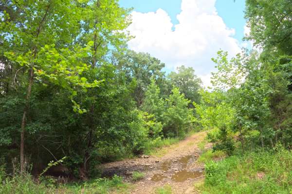
This trail is smooth and easy for the most part and mainly follows a dirt road. Conditions were dry during the summer, but they may change during the rainy season. The route includes a few shallow creek crossings, a decent-sized pond, deer sightings, and several nice campsites.
Learn more about Reville
Green Bench Road
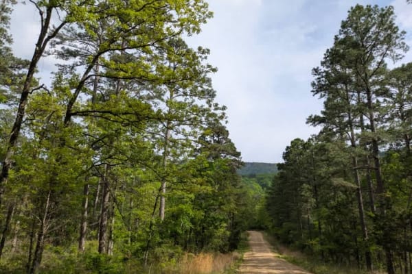
This long, winding trail ascends into the mountains, eventually reaching elevations where the forest transitions almost entirely to shortleaf pine. The road is primarily gravel and generally well maintained, though it narrows in places and becomes rocky and bumpy, with several stream crossings--some...
Learn more about Green Bench Road
Wicked Creek
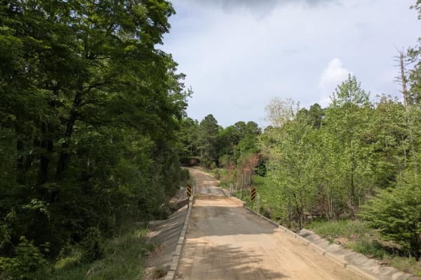
This trail begins with a steady climb into the mountains, crossing several cattle guards and a shallow stream that may be submerged depending on recent rainfall. Early on, the route passes through stretches of private land, but access becomes more open as elevation increases. The trail winds through...
Learn more about Wicked Creek
Bramlett R
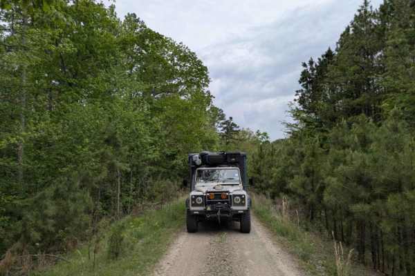
Bramlett is a rugged two-track trail that starts bumpy, briefly smooths out, and then deteriorates into a rocky, winding path featuring several mud pits and a steep, off-camber section when approached from the north. Drivers will also encounter large off-camber humps, scattered rocks, and a few stre...
Learn more about Bramlett R
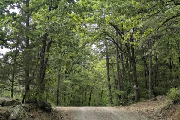
Lloyd Road
This trail is a well-maintained but rocky and winding gravel road that leads into the Mount Magazine Wildlife Management Area. It begins between stretches of private land, clearly marked by trees painted with purple rectangles in accordance with the Purple Paint Law, and eventually transitions into ...
Learn more about Lloyd Road
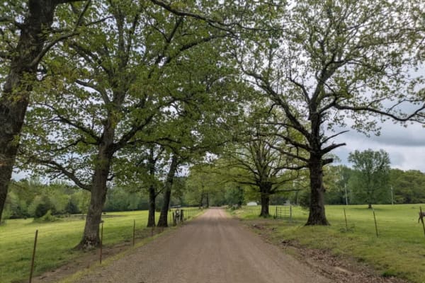
Spring Lake Road
The Spring Lake trail begins at the paved Mount Magazine scenic route, descending from the hilltop, where established state park camping facilities are available. Alternatively, one compact vehicle may camp at the Greenfield State Park picnic area after obtaining permission and paying reduced campin...
Learn more about Spring Lake Road
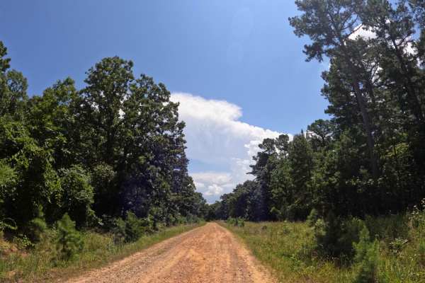
Rich Mountain Byway
This is a pretty short, basic, run-of-the-mill dirt road that leads to some very nice scenic areas. The road is smooth for the most part, with no ruts or mud holes, making it more of a Sunday drive down a backroad. There are plenty of deer along this road, so use caution, and a bunch of rabbits may ...
Learn more about Rich Mountain Byway
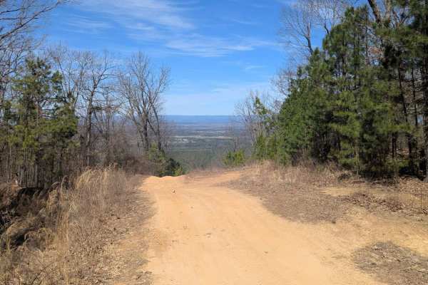
52 Humps
At only 1 miles long, the trail offers scenic views at the top, small rocky ledges, small ruts, and (its namesake) 52 rain humps put in to control erosion. Whether ran top to bottom or the other way, the trail is a fun one. When wet, the trail can be very tricky. There is a spot of two of clay that ...
Learn more about 52 Humps
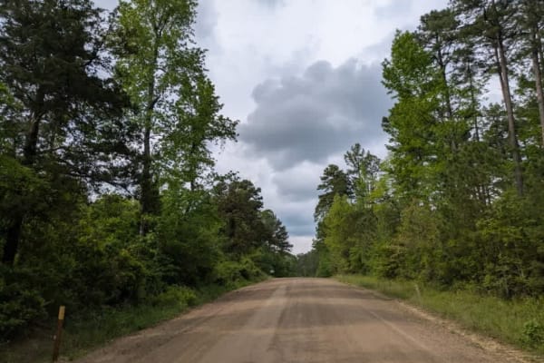
Rich Mountain Road
Rich Mountain Road is a wide, maintained trail that winds through a forested landscape and passes by a few rural homesteads. Along the way, travelers will encounter several offshoot trails designated for horse riding and ATV use. There are a few dispersed camping opportunities available, some featur...
Learn more about Rich Mountain Road
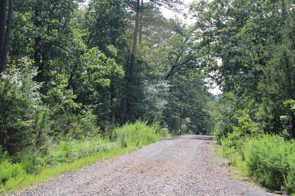
Girard Road to Sugar Creek Multi Use Trails
Girard Road is a gravel road that passes by the Sugar Creek Multi-Use West Trailhead. This road is a maintained gravel road that is dusty when dry and can be messy when wet. Take Wilson Road south to the Sugar Creek Trailhead. The Sugar Creek Multi-Use Trail is a network of looping trails that winds...
Learn more about Girard Road to Sugar Creek Multi Use Trails
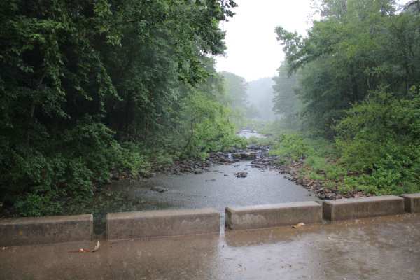
Jack Creek Road
Jack Creek Road is a natural surface road with gravel in some areas. Dispersed campsites and hiking areas are along this road. This road crosses Jack Creek. Buck Ridge Shooting Range is just off Jack Creek Road along Buck Ridge Road. This trail ends at Jack Creek Recreation Area and campground. Jack...
Learn more about Jack Creek Road
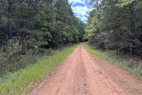
Bear Hollow - Trail 1627
This is a very easy trail that closely resembles a dirt road. The trail is mainly used to access trailers 1627B and 1612B. There are zero trail obstacles, zero mud, zero ruts, and zero rocks. The trail is covered in gravel and is very smooth. The trail can be run with any vehicle type.
Learn more about Bear Hollow - Trail 1627
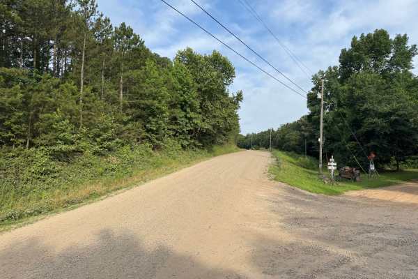
County Road 3080
This maintained gravel route offers an easy drive through a mix of dense pine and hardwood forest, with occasional openings that provide long views of the surrounding Boston Mountains. The road is generally wide enough for two vehicles to pass comfortably and features gentle curves, rolling hills, a...
Learn more about County Road 3080
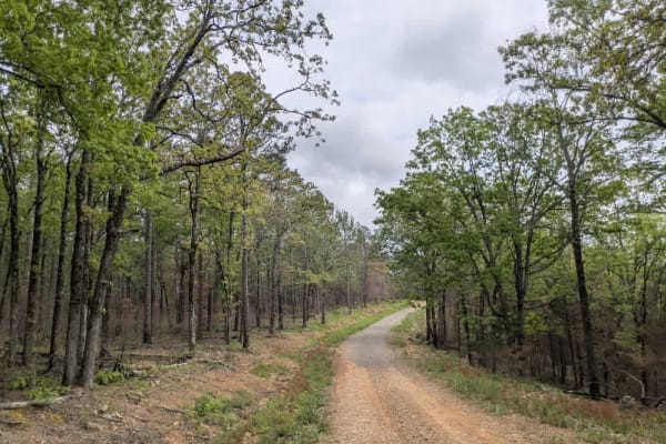
Valentine Ridge
The Valentine Ridge trail starts at a clearly marked yellow sign indicating the entrance to an ATV and horse trail area. Initially, drivers encounter a fairly steep descent with rocky terrain that gradually transitions into a smoother surface as you approach the ATV and horse trail intersection. Con...
Learn more about Valentine Ridge
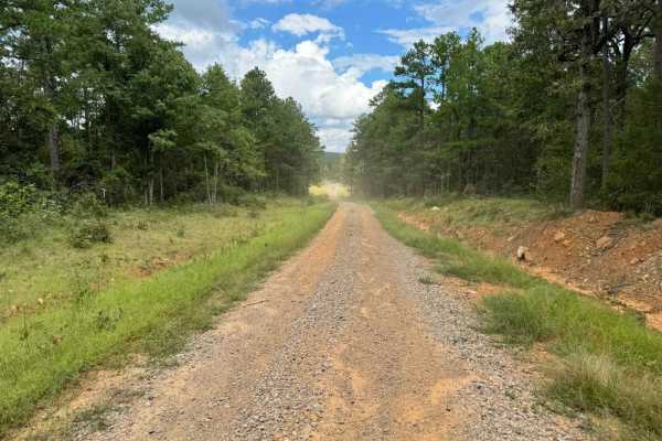
96027A
This is a north/south trail accessible by OHVs (ATV, UTV, MX) and horseback ONLY. There are width restriction gates on both ends, limiting vehicles to approximately 72" max width. The trail has several shallow mud holes with firm bottoms. There is a 370-foot elevation difference between the ends of ...
Learn more about 96027A
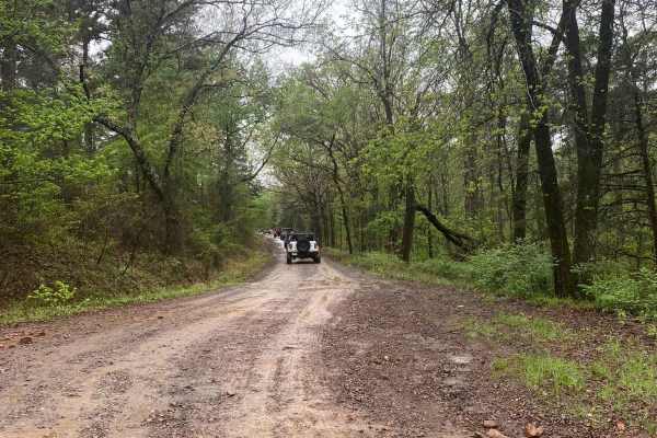
Shoal Creek - FS 1604
Shoal Creek Road is an easy, well-maintained gravel route that follows Shoal Creek and provides access to dispersed camping and nearby trail systems. It’s a great entry-level drive with scenic creek crossings and access to more adventurous trails at the far end. Maintained gravel road getting to Sho...
Learn more about Shoal Creek - FS 1604
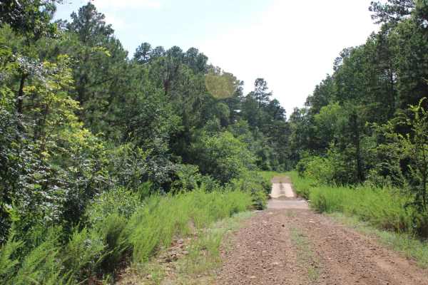
Girard Road to White Oak Road
This maintained gravel road has the west trailhead of Sugar Creek multi-use trails area at one end and White Oak Forest road at the other. This gravel road can be dusty when dry and messy when wet. There are a few creek crossings that will be dry unless there has been rain. The Sugar Creek Multi-Use...
Learn more about Girard Road to White Oak Road
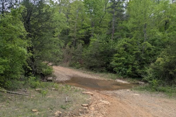
Copper Spring
Copper Spring is a well-maintained trail that shows signs of recent logging activity, with a generally smooth driving surface interspersed with rocky and bumpy sections. Travelers will encounter several ascents and descents along the route, including a few creek crossings, as the trail winds through...
Learn more about Copper Spring
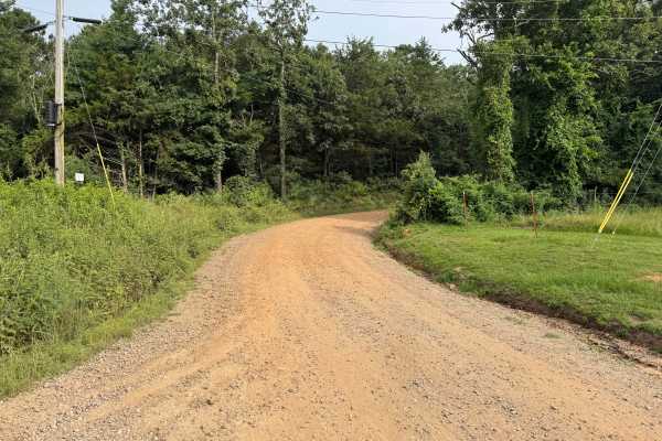
County Road 3091
This maintained gravel road provides a scenic drive through the heart of the Boston Mountains, winding steadily up the hillside with a series of sweeping curves that give the route a switchback-like feel. Towering hardwoods and pines create a shaded canopy over much of the road, while occasional ope...
Learn more about County Road 3091
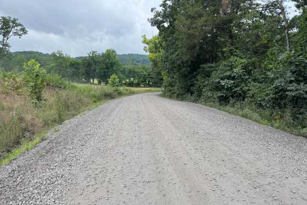
Pink Twist
This well-maintained, graded gravel route provides an easy drive through a scenic mix of forested hills, open valleys, and quiet rural countryside. The route gently winds through mature hardwoods before opening to views of rolling hills and the surrounding Boston Mountains. Along the drive, you'll p...
Learn more about Pink Twist
Beginner ATV trails near Caulksville, Arkansas
Explore ATV-friendly trails near you. These trails are accessible for vehicles up to 50 inches wide, perfect for ATVs and smaller off-road machines.
Reville
This trail is smooth and easy for the most part and mainly follows a dirt road. Conditions were dry during the summer, but they may change during the rainy season. The route includes a few shallow creek crossings, a decent-sized pond, deer sightings, and several nice campsites.
Learn more about Reville
Green Bench Road
This long, winding trail ascends into the mountains, eventually reaching elevations where the forest transitions almost entirely to shortleaf pine. The road is primarily gravel and generally well maintained, though it narrows in places and becomes rocky and bumpy, with several stream crossings--some...
Learn more about Green Bench Road
Wicked Creek
This trail begins with a steady climb into the mountains, crossing several cattle guards and a shallow stream that may be submerged depending on recent rainfall. Early on, the route passes through stretches of private land, but access becomes more open as elevation increases. The trail winds through...
Learn more about Wicked Creek
Bramlett R
Bramlett is a rugged two-track trail that starts bumpy, briefly smooths out, and then deteriorates into a rocky, winding path featuring several mud pits and a steep, off-camber section when approached from the north. Drivers will also encounter large off-camber humps, scattered rocks, and a few stre...
Learn more about Bramlett R
Beginner UTV/side-by-side trails near Caulksville, Arkansas
Find UTV and side-by-side trails near you. These trails accommodate vehicles up to 60 inches wide, ideal for UTVs, side-by-sides, and wider off-road rigs.
Reville
This trail is smooth and easy for the most part and mainly follows a dirt road. Conditions were dry during the summer, but they may change during the rainy season. The route includes a few shallow creek crossings, a decent-sized pond, deer sightings, and several nice campsites.
Learn more about Reville
Green Bench Road
This long, winding trail ascends into the mountains, eventually reaching elevations where the forest transitions almost entirely to shortleaf pine. The road is primarily gravel and generally well maintained, though it narrows in places and becomes rocky and bumpy, with several stream crossings--some...
Learn more about Green Bench Road
Wicked Creek
This trail begins with a steady climb into the mountains, crossing several cattle guards and a shallow stream that may be submerged depending on recent rainfall. Early on, the route passes through stretches of private land, but access becomes more open as elevation increases. The trail winds through...
Learn more about Wicked Creek
Bramlett R
Bramlett is a rugged two-track trail that starts bumpy, briefly smooths out, and then deteriorates into a rocky, winding path featuring several mud pits and a steep, off-camber section when approached from the north. Drivers will also encounter large off-camber humps, scattered rocks, and a few stre...
Learn more about Bramlett R
The onX Offroad Difference
onX Offroad combines trail photos, descriptions, difficulty ratings, width restrictions, seasonality, and more in a user-friendly interface. Available on all devices, with offline access and full compatibility with CarPlay and Android Auto. Discover what you're missing today!
Open Trail Map