
Beginner Off-Road Trails
Near Brush Fork, West Virginia
Explore All Beginner Trails Near Brush Fork, West Virginia
Beginner Off-Road Trails Near Brush Fork, West Virginia
Discover the best beginner-friendly off-road trails near you. These easier, lower-rated trails are a great place to start — browse trail maps, check difficulty ratings, and find your next adventure.
P10
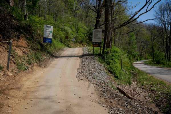
Trail P10 is a 4.5-mile route that begins at the southern edge of the Pocahontas Trail System off Simmons River Road. It starts with a brief, steeper climb before transitioning into a gradual, winding path along the hillsides. The trail surface is smooth and easy, with occasional puddles, minor ruts...
Learn more about P10
P13
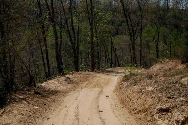
Pocahontas 13 is a 3.1-mile route consisting mostly of a wide, gradual dirt road with minor ruts and scattered loose rocks. It passes through several well-marked intersections, making navigation straightforward. The trail features broad, sweeping corners and excellent visibility throughout. Some seg...
Learn more about P13
OP 1
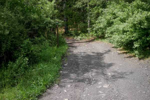
OP 1 forms a 2.7-mile loop from the Pocahontas Town Park Trailhead and serves as the main access route to several easy nearby trails including OP 2-9. The trail is wide and easy, with shallow ruts, minor loose rock, and non-technical embedded rock surfaces. It features dark, coal-like dirt, shelf se...
Learn more about OP 1
6
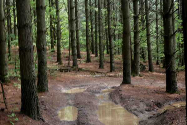
OP 6 is a very short trail, less than 200 yards, offering a small climb from the north before leveling out. It passes through a scenic grove of eastern white pine trees and shares the same easy, peaceful character as OP 5. The trail is smooth, flat, and easily navigable, making it a pleasant and sim...
Learn more about 6
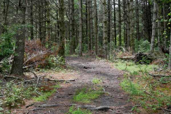
OP 5
OP 5 is a short, 225-yard loop that winds through a beautiful forest of tall, thick eastern white pine trees. The trail is flat and easy, with a soft forest floor occasionally scattered with small downed sticks. While brief, the loop offers a peaceful, scenic detour and is easily manageable for all ...
Learn more about OP 5
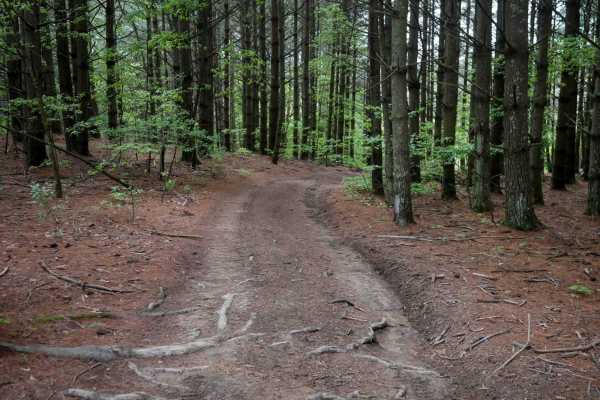
OP 7
OP 7 is a super short, 160-yard trail that runs through a peaceful forest of eastern white pine. Located near other low-numbered trails like OP 1-10, it shares the same very easy character, making this part of the system ideal for newer riders. The trail is flat with smooth dirt and offers a scenic,...
Learn more about OP 7
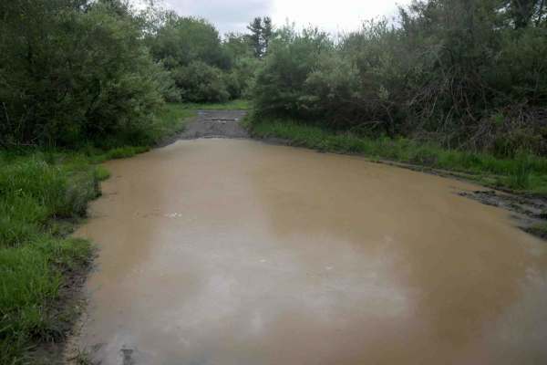
OP 10
OP 10 is a loop of less than half a mile that circles a meadow and is characterized by frequent, deep mud puddles of uncertain depth, more like mud pits. While the terrain itself is flat and otherwise easy, the constant water coverage makes it a potentially messy and unpredictable route. Drivers sho...
Learn more about OP 10
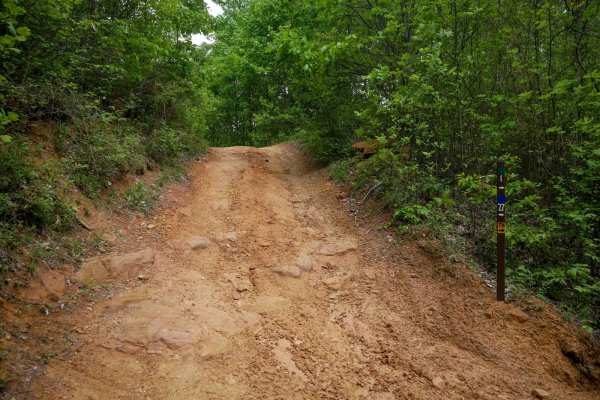
OP 27
OP 27 is a short, 600-yard loop off OP 1 that provides extra mileage along a forested hilltop. The trail features a mix of loose rock, flat embedded rock surfaces, and shallow ruts, with a few semi-steep spots when descending small hills heading south. Low branches and gentle curves through lush for...
Learn more about OP 27
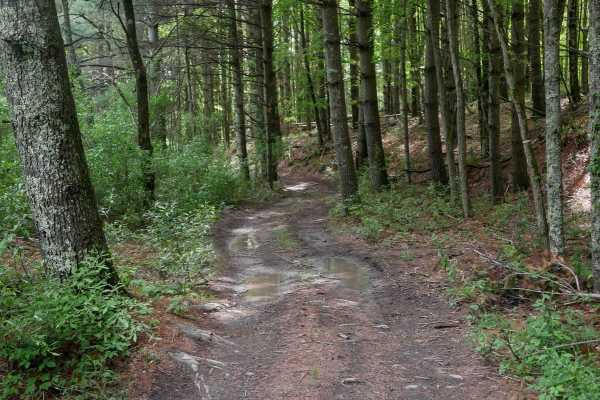
OP 9
OP 9 is a 168-yard trail that closely resembles OP 5 and OP 6, passing through a grove of towering eastern white pine trees. The route is flat, easy, and composed of soft dirt with some scattered sticks on the ground. With no obstacles and minimal elevation change, it offers a quiet, effortless ride...
Learn more about OP 9
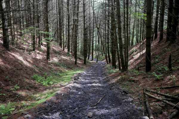
OP 98
OP 98 is a short, easy trail that descends gradually from north to south through a scenic grove of eastern white pines. The surface is wide with dark, coal-like dirt, minor loose rock, and light gravel, and the trail is densely lined with rhododendron. While the descent is semi-steep, it remains man...
Learn more about OP 98
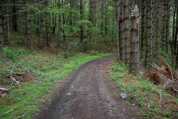
OP 4
OP 4 is a very easy trail that runs through a grove of towering eastern white pines, starting near OP 1 and OP 5. The route features smooth dirt, scattered stick debris, and occasional mud puddles, especially where it follows along the top of the OP 10 loop. It continues west through scenic forest t...
Learn more about OP 4
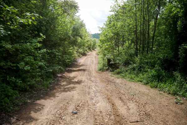
OP 3
OP 3 is a short route just over a quarter mile long, running straight and smooth along a hilltop with open skies and wide views. The trail is easy and fast, with no obstacles aside from a few mud puddles. It's a simple, scenic stretch suitable for any skill level.
Learn more about OP 3
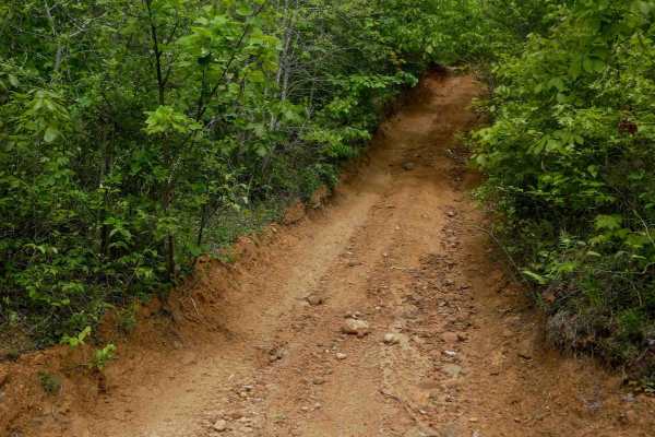
OP 42
OP 42 is a short, 300-yard loop off OP 1 that offers a bit more variation while remaining easy overall. Traveling clockwise, the trail begins with a steeper climb featuring shallow ruts and loose rock, requiring slow, steady momentum, but still manageable for most riders. It levels out at the top, p...
Learn more about OP 42
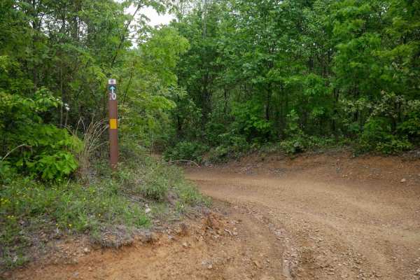
OP 20
OP 20 is a very short and easy connector linking OP 21 to OP 1. The trail features small embedded rocks, light ruts, and occasional mud puddles, with mild grades and a gradual corner that includes some loose rock. Despite these minor elements, the trail remains straightforward and manageable, servin...
Learn more about OP 20
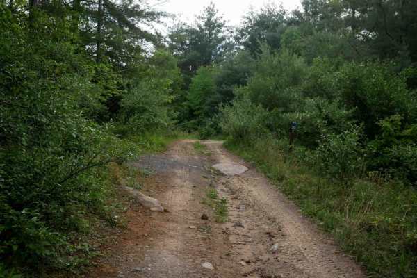
OP 23
OP 23 is a 240-yard connector linking two segments of OP 1. The trail is super easy, with shallow ruts, loose rock, and some uneven ground. Occasional flat embedded rock surfaces appear but are infrequent and do not increase the difficulty. It serves as a smooth and simple transition point within th...
Learn more about OP 23
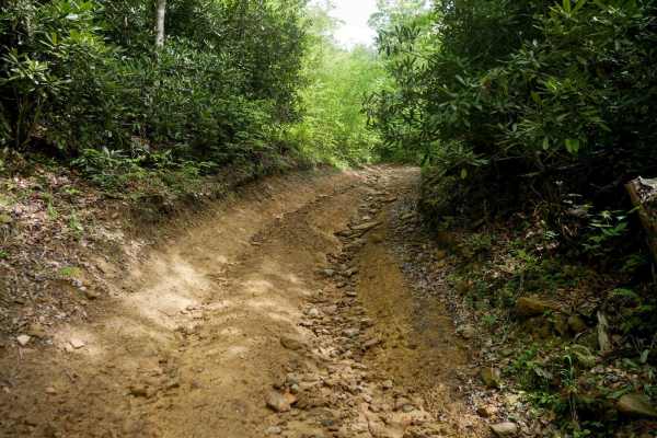
OP 2
OP 2 is a 0.6-mile trail that begins in a scenic forest lined with rhododendron, featuring a rockier surface with more loose rock and shallow ruts. The trail winds through the trees before emerging onto an open hillside with dark, coal-like dirt and wide views. Though the surface is a bit rougher th...
Learn more about OP 2
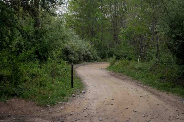
P12
Trail P12 is a 2-mile route connecting P15 and P13, spanning one end of the trail system to the other. It is very wide and smooth, with minor ruts and small rocks pushed to the sides. The trail passes through several well-marked intersections and features numerous waterbars, big banked corners, and ...
Learn more about P12
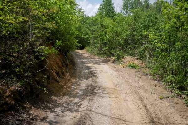
OP 25 (Part 2)
OP 25 (Part 2) is a half-mile trail, starting on its south end as a continuation from OP 17. It features a wide path through short trees with open skies overhead. The surface is mostly smooth dirt with minor shallow ruts and flat embedded rock that do not add difficulty. The trail follows gradual co...
Learn more about OP 25 (Part 2)
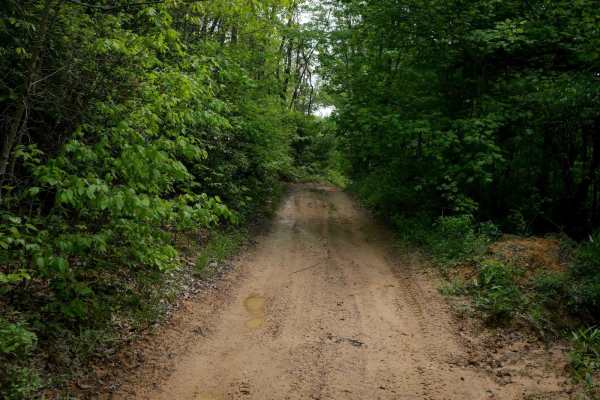
OP 21
OP 21 is a very short, 300-yard loop off of OP 17 accessing OP 54 half way through. The trail is mostly flat and features a narrow, one-lane path through leafy forest. Drivers will encounter small loose rocks and shallow ruts, but the route remains gradual and easy. This brief connector serves as a ...
Learn more about OP 21
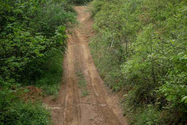
OP 88
OP 88 extends half a mile north from OP 17 to the ATV access road, offering a slightly steeper route with manageable elevation changes. The trail features loose rock, shallow ruts, flat embedded rock surfaces, and a mix of dips, bumps, and small hills that add mild technical interest. Despite these ...
Learn more about OP 88
Beginner ATV trails near Brush Fork, West Virginia
Explore ATV-friendly trails near you. These trails are accessible for vehicles up to 50 inches wide, perfect for ATVs and smaller off-road machines.
P10
Trail P10 is a 4.5-mile route that begins at the southern edge of the Pocahontas Trail System off Simmons River Road. It starts with a brief, steeper climb before transitioning into a gradual, winding path along the hillsides. The trail surface is smooth and easy, with occasional puddles, minor ruts...
Learn more about P10
P13
Pocahontas 13 is a 3.1-mile route consisting mostly of a wide, gradual dirt road with minor ruts and scattered loose rocks. It passes through several well-marked intersections, making navigation straightforward. The trail features broad, sweeping corners and excellent visibility throughout. Some seg...
Learn more about P13
OP 1
OP 1 forms a 2.7-mile loop from the Pocahontas Town Park Trailhead and serves as the main access route to several easy nearby trails including OP 2-9. The trail is wide and easy, with shallow ruts, minor loose rock, and non-technical embedded rock surfaces. It features dark, coal-like dirt, shelf se...
Learn more about OP 1
6
OP 6 is a very short trail, less than 200 yards, offering a small climb from the north before leveling out. It passes through a scenic grove of eastern white pine trees and shares the same easy, peaceful character as OP 5. The trail is smooth, flat, and easily navigable, making it a pleasant and sim...
Learn more about 6
Beginner UTV/side-by-side trails near Brush Fork, West Virginia
Find UTV and side-by-side trails near you. These trails accommodate vehicles up to 60 inches wide, ideal for UTVs, side-by-sides, and wider off-road rigs.
P10
Trail P10 is a 4.5-mile route that begins at the southern edge of the Pocahontas Trail System off Simmons River Road. It starts with a brief, steeper climb before transitioning into a gradual, winding path along the hillsides. The trail surface is smooth and easy, with occasional puddles, minor ruts...
Learn more about P10
P13
Pocahontas 13 is a 3.1-mile route consisting mostly of a wide, gradual dirt road with minor ruts and scattered loose rocks. It passes through several well-marked intersections, making navigation straightforward. The trail features broad, sweeping corners and excellent visibility throughout. Some seg...
Learn more about P13
OP 1
OP 1 forms a 2.7-mile loop from the Pocahontas Town Park Trailhead and serves as the main access route to several easy nearby trails including OP 2-9. The trail is wide and easy, with shallow ruts, minor loose rock, and non-technical embedded rock surfaces. It features dark, coal-like dirt, shelf se...
Learn more about OP 1
6
OP 6 is a very short trail, less than 200 yards, offering a small climb from the north before leveling out. It passes through a scenic grove of eastern white pine trees and shares the same easy, peaceful character as OP 5. The trail is smooth, flat, and easily navigable, making it a pleasant and sim...
Learn more about 6
The onX Offroad Difference
onX Offroad combines trail photos, descriptions, difficulty ratings, width restrictions, seasonality, and more in a user-friendly interface. Available on all devices, with offline access and full compatibility with CarPlay and Android Auto. Discover what you're missing today!
Open Trail Map