
Beginner Off-Road Trails
Near Bracey, Virginia
Explore All Beginner Trails Near Bracey, Virginia
Beginner Off-Road Trails Near Bracey, Virginia
Discover the best beginner-friendly off-road trails near you. These easier, lower-rated trails are a great place to start — browse trail maps, check difficulty ratings, and find your next adventure.

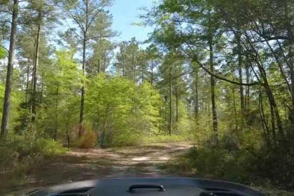
Big Woods Loop
Big Woods Loop is a route that passes through the Big Woods State Forest and Big Woods Wildlife Management Area. The route is a basic forest road, with the surface being slightly rougher on the state forest side. The route passes through typical southeast Virginia woodland and skirts the Big Woods s...
Learn more about Big Woods Loop
Chowan Swamp Gamelands
The Chowan Swamp Gamelands are a state-administered game area in Gates County, North Carolina. The trail system is seasonal, and one can expect various areas to be open or closed depending on what hunting season it is. The area offers excellent fishing along the Chowan River, along with scenic areas...
Learn more about Chowan Swamp Gamelands

Chowan Game Lands - Bear Spotter
Bear Spotter is a seasonal section of trails in the Chowan Swamp Game Lands. It's a scenic area of the game lands that are generally only open during deer season. The trail starts at the Gatlington Boat Ramp and proceeds down season paths that are primarily hunter access roads and are also designate...
Learn more about Chowan Game Lands - Bear Spotter

Chowan Gamelands - Deer Spotter
This area of the Chowan Swamp Gamelands is a seasonal trail that is open primarily during deer season. As the name suggests, one can expect to see a great many deer. Care should be taken not to strike deer with your vehicle. A wide array of other animals can be seen as well, including bears. Be mind...
Learn more about Chowan Gamelands - Deer Spotter
Beginner ATV trails near Bracey, Virginia
Explore ATV-friendly trails near you. These trails are accessible for vehicles up to 50 inches wide, perfect for ATVs and smaller off-road machines.
Beginner UTV/side-by-side trails near Bracey, Virginia
Find UTV and side-by-side trails near you. These trails accommodate vehicles up to 60 inches wide, ideal for UTVs, side-by-sides, and wider off-road rigs.
The onX Offroad Difference
onX Offroad combines trail photos, descriptions, difficulty ratings, width restrictions, seasonality, and more in a user-friendly interface. Available on all devices, with offline access and full compatibility with CarPlay and Android Auto. Discover what you're missing today!
Open Trail Map