
Beginner Off-Road Trails
Near Bell, Florida
Explore All Beginner Trails Near Bell, Florida
Beginner Off-Road Trails Near Bell, Florida
Discover the best beginner-friendly off-road trails near you. These easier, lower-rated trails are a great place to start — browse trail maps, check difficulty ratings, and find your next adventure.
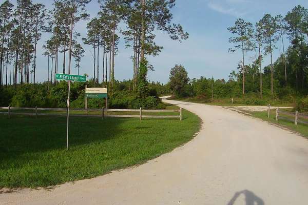
McCalls Chapel Grade
This trail is one of many in the vast network of trails located within the Mallory Swamp Wildlife Management Area (WMA). Public access is open year-round from 1 1/2 hours before sunrise until 1 1/2 hours after sunset on all trails that are not signed as closed/restricted or private property. ATV...
Learn more about McCalls Chapel Grade
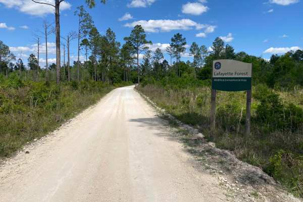
Road 1
This trail is located within the Mallory Swamp Wildlife Management Area (WMA). Public access is open year-round from 1 1/2 hours before sunrise until 1 1/2 hours after sunset. ATVs, SxS, or unlicensed or unregistered motorcycles are permitted following the close of Spring Turkey season until the...
Learn more about Road 1
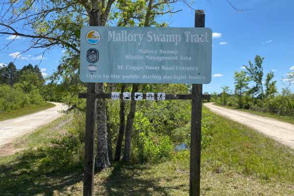
Road 2
This trail is one of many in the vast network of trails located within the Mallory Swamp Wildlife Management Area (WMA). Public access is open year-round from 1 1/2 hours before sunrise until 1 1/2 hours after sunset on all trails that are not signed as closed/restricted or private property. ATVs,...
Learn more about Road 2
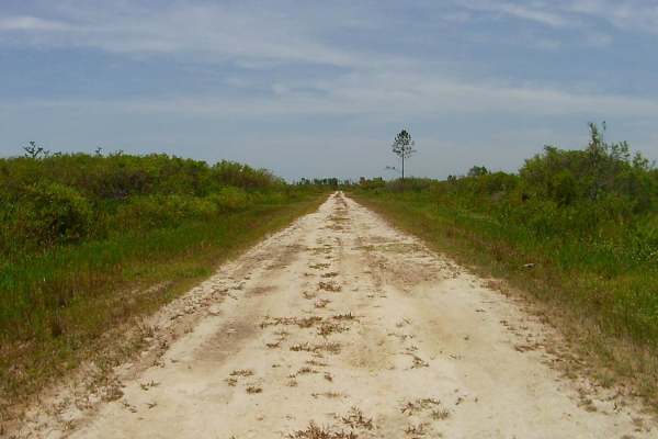
Sandy Road
This trail is one of many in the vast network of trails located within the Mallory Swamp Wildlife Management Area (WMA). Public access is open year-round from 1 1/2 hours before sunrise until 1 1/2 hours after sunset on all trails that are not signed as closed/restricted or private property. ATVs,...
Learn more about Sandy Road
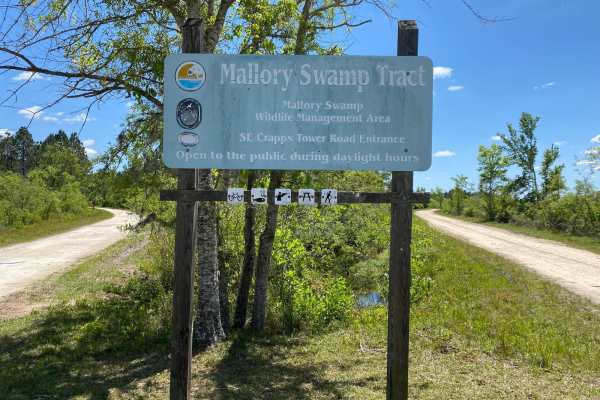
Crapps Tower Grade
This trail is one of many in the vast network of trails located within the Mallory Swamp Wildlife Management Area (WMA). Public access is open year-round from 1 1/2 hours before sunrise until 1 1/2 hours after sunset on all trails that are not signed as closed/restricted or private property. ATV...
Learn more about Crapps Tower Grade
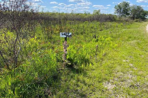
Lost Dog Road
This trail is located within the Mallory Swamp Wildlife Management Area (WMA). Public access is open year-round from 1 1/2 hours before sunrise until 1 1/2 hours after sunset. ATVs, SxS, or unlicensed or unregistered motorcycles are permitted following the close of Spring Turkey season until the ...
Learn more about Lost Dog Road
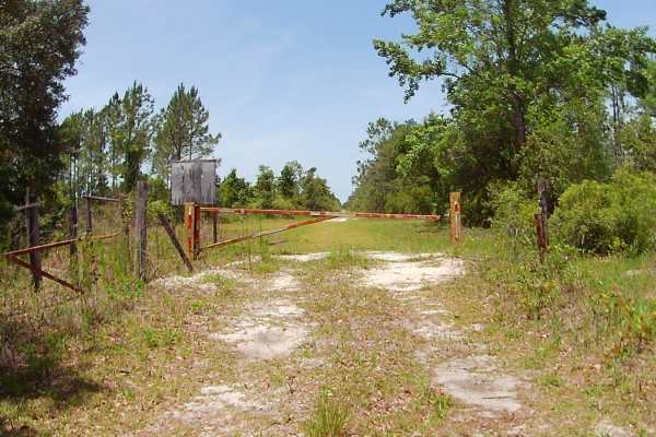
L A Bennett Grade
This trail is one of many in the vast network of trails located within the Mallory Swamp Wildlife Management Area (WMA). Public access is open year-round from 1 1/2 hours before sunrise until 1 1/2 hours after sunset on all trails that are not signed as closed/restricted or private property. ATVs,...
Learn more about L A Bennett Grade
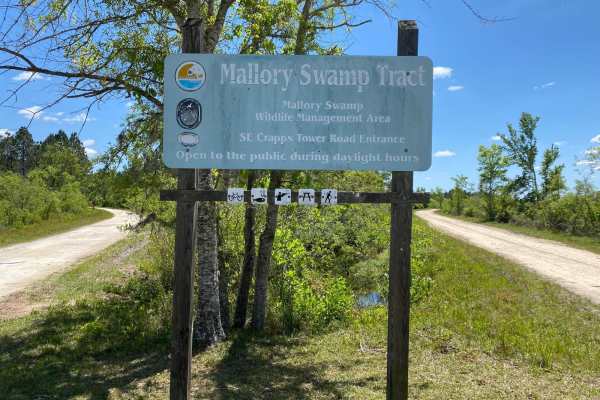
McElvain Camp Grade
This trail is located within the Mallory Swamp Wildlife Management Area (WMA). Public access is open year-round from 1 1/2 hours before sunrise until 1 1/2 hours after sunset. ATVs, SxS, or unlicensed or unregistered motorcycles are permitted following the close of Spring Turkey season until the ...
Learn more about McElvain Camp Grade
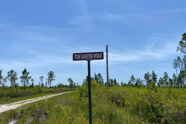
Tom Gunter Road
This trail is one of many in the vast network of trails located within the Mallory Swamp Wildlife Management Area (WMA). Public access is open year-round from 1 1/2 hours before sunrise until 1 1/2 hours after sunset on all trails that are not signed as closed/restricted or private property. ATVs,...
Learn more about Tom Gunter Road
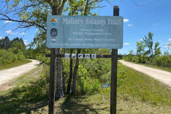
Deserter's Hammock
This trail is located within the Mallory Swamp Wildlife Management Area (WMA). Public access is open year-round from 1 1/2 hours before sunrise until 1 1/2 hours after sunset. ATVs, SxS, or unlicensed or unregistered motorcycles are permitted following the close of Spring Turkey season until the be...
Learn more about Deserter's Hammock
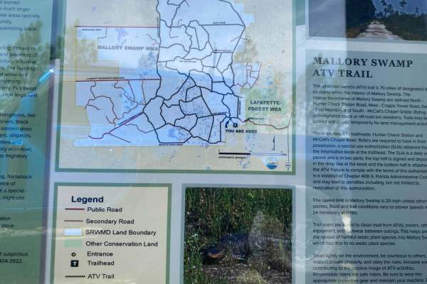
East Mainline
This trail is one of many in the vast network of trails located within the Mallory Swamp Wildlife Management Area (WMA). Public access is open year-round from 1 1/2 hours before sunrise until 1 1/2 hours after sunset on all trails that are not signed as closed/restricted or private property. ATVs,...
Learn more about East Mainline
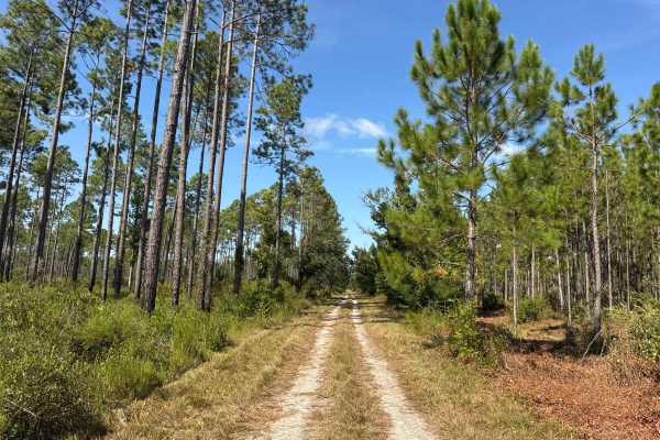
Warbler Loop South
The Warbler Loop South is a dirt road through the northern part of the Steinhatchee Springs in the Suwannee River WMD. The trail starts and ends on County Road 357 and gives you access to several hiking trails, ponds, and primitive boat ramps along the Steinhatchee River. The road conditions are a m...
Learn more about Warbler Loop South
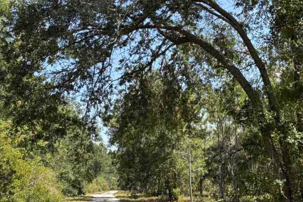
Warbler Loop North
The Warbler Loop North is a dirt road through the north part of the Steinhatchee Springs in the Suwannee River Water Management District (WMD). The trail starts and ends on County Road 357 and gives you access to several hiking trails, ponds, and primitive boat ramps along the Steinhatchee River. Th...
Learn more about Warbler Loop North
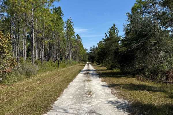
Rattlesnake Road
The Rattlesnake Road is a dirt road through the northern part of the Steinhatchee Springs in the Suwannee River WMD. The trail is a dead-end road start starts on County Road 357 and gives you access to several hiking trails, ponds, and primitive boat ramps along the Steinhatchee River. The road cond...
Learn more about Rattlesnake Road
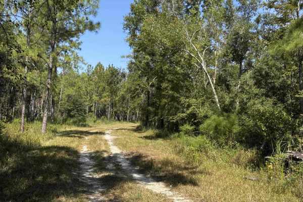
Boundary Loop
The Warbler Loop South is a dirt road through the northern part of the Steinhatchee Springs in the Suwannee River WMD. The trail starts and ends on Rattlesnake Road and takes you along the west boundary of the Water Management District. The road conditions are a mixture of packed sand, loose sand, a...
Learn more about Boundary Loop
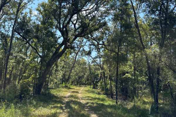
Road 55 Loop
The Road 55 Loop is a dirt road through the northern part of the Steinhatchee Springs in the Suwannee River WMD. The trail starts and ends on South Canal Road and gives you access to several hiking trails, two huge ponds, and primitive boat ramps along the Steinhatchee River. The road conditions are...
Learn more about Road 55 Loop
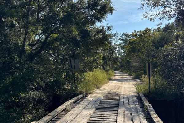
South Canal Road
The South Canal Road is a dirt road through the north part of the Steinhatchee Springs in the Suwannee River WMD. The trail connects US Highway 51 on the west end and County Road 357 on the east end of the trail and gives you access to several hiking trails, ponds, and primitive boat ramps along the...
Learn more about South Canal Road
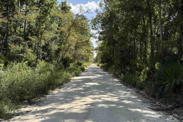
Storm Mainline Road
The Storm Mainline Road is a dirt road through the southern part (Rise Tract) of the Steinhatchee Springs in the Suwannee River Water Management District (WMD). The trail connects US Highway 19 on the north end and County Road 358 on the south end of the trail and gives you access to several hiking ...
Learn more about Storm Mainline Road
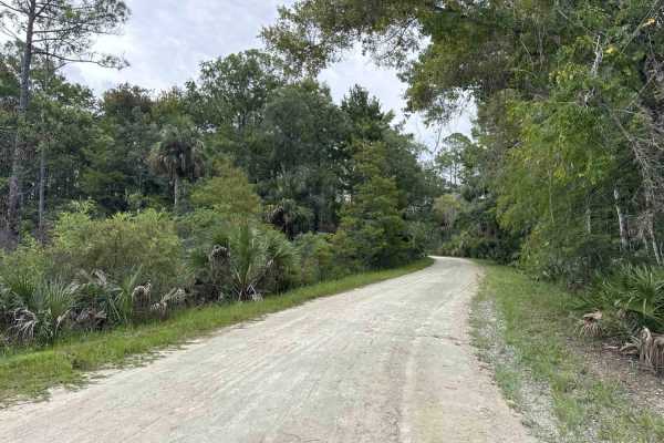
Nature Drive
The Nature Drive is a 9-mile dirt road through the southern part of the Lower Suwannee National Wildlife Refuge. The trail gives you access to several hiking trails, ponds, and primitive boat ramps. The road conditions are a mixture of packed sand, loose sand, and some deep holes that can turn into ...
Learn more about Nature Drive
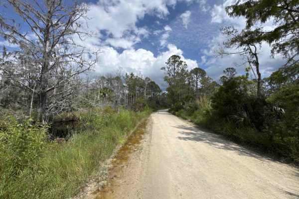
Homus Pond Road
The Homus Pond Road is a 6-mile dirt road through the northern part of the Lower Suwannee National Wildlife Refuge and the Big Bend WMA. The trail gives you access to several hiking trails and connects County Road 351 and County Road 357. The road conditions are a mixture of packed sand, loose sand,...
Learn more about Homus Pond Road
Beginner ATV trails near Bell, Florida
Explore ATV-friendly trails near you. These trails are accessible for vehicles up to 50 inches wide, perfect for ATVs and smaller off-road machines.
McCalls Chapel Grade
This trail is one of many in the vast network of trails located within the Mallory Swamp Wildlife Management Area (WMA). Public access is open year-round from 1 1/2 hours before sunrise until 1 1/2 hours after sunset on all trails that are not signed as closed/restricted or private property. ATV...
Learn more about McCalls Chapel Grade
Road 1
This trail is located within the Mallory Swamp Wildlife Management Area (WMA). Public access is open year-round from 1 1/2 hours before sunrise until 1 1/2 hours after sunset. ATVs, SxS, or unlicensed or unregistered motorcycles are permitted following the close of Spring Turkey season until the...
Learn more about Road 1
Road 2
This trail is one of many in the vast network of trails located within the Mallory Swamp Wildlife Management Area (WMA). Public access is open year-round from 1 1/2 hours before sunrise until 1 1/2 hours after sunset on all trails that are not signed as closed/restricted or private property. ATVs,...
Learn more about Road 2
Sandy Road
This trail is one of many in the vast network of trails located within the Mallory Swamp Wildlife Management Area (WMA). Public access is open year-round from 1 1/2 hours before sunrise until 1 1/2 hours after sunset on all trails that are not signed as closed/restricted or private property. ATVs,...
Learn more about Sandy Road
Beginner UTV/side-by-side trails near Bell, Florida
Find UTV and side-by-side trails near you. These trails accommodate vehicles up to 60 inches wide, ideal for UTVs, side-by-sides, and wider off-road rigs.
McCalls Chapel Grade
This trail is one of many in the vast network of trails located within the Mallory Swamp Wildlife Management Area (WMA). Public access is open year-round from 1 1/2 hours before sunrise until 1 1/2 hours after sunset on all trails that are not signed as closed/restricted or private property. ATV...
Learn more about McCalls Chapel Grade
Road 1
This trail is located within the Mallory Swamp Wildlife Management Area (WMA). Public access is open year-round from 1 1/2 hours before sunrise until 1 1/2 hours after sunset. ATVs, SxS, or unlicensed or unregistered motorcycles are permitted following the close of Spring Turkey season until the...
Learn more about Road 1
Road 2
This trail is one of many in the vast network of trails located within the Mallory Swamp Wildlife Management Area (WMA). Public access is open year-round from 1 1/2 hours before sunrise until 1 1/2 hours after sunset on all trails that are not signed as closed/restricted or private property. ATVs,...
Learn more about Road 2
Sandy Road
This trail is one of many in the vast network of trails located within the Mallory Swamp Wildlife Management Area (WMA). Public access is open year-round from 1 1/2 hours before sunrise until 1 1/2 hours after sunset on all trails that are not signed as closed/restricted or private property. ATVs,...
Learn more about Sandy Road
The onX Offroad Difference
onX Offroad combines trail photos, descriptions, difficulty ratings, width restrictions, seasonality, and more in a user-friendly interface. Available on all devices, with offline access and full compatibility with CarPlay and Android Auto. Discover what you're missing today!
Open Trail Map