
Beginner Off-Road Trails
Near Bagdad, Florida
Explore All Beginner Trails Near Bagdad, Florida
Beginner Off-Road Trails Near Bagdad, Florida
Discover the best beginner-friendly off-road trails near you. These easier, lower-rated trails are a great place to start — browse trail maps, check difficulty ratings, and find your next adventure.
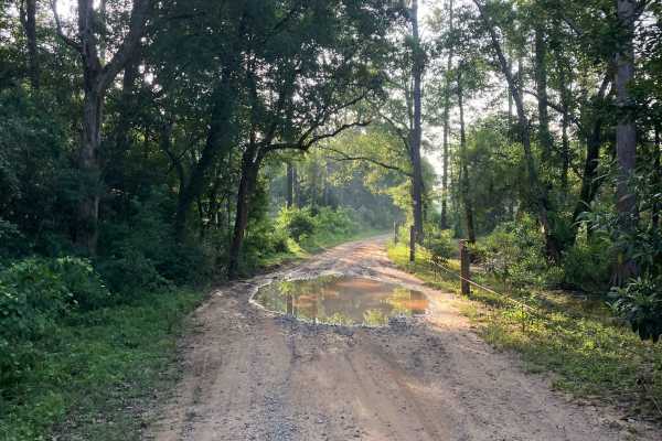
Fisher Old Miller Road
Fisher Old Miller is a sand and gravel single-lane road maintained by the Yellow River Wildlife Management Department. It is a nice casual route running north of the Yellow River and is just wide enough for two vehicles to pass. The road is elevated enough to keep it dry and manageable even after he...
Learn more about Fisher Old Miller Road
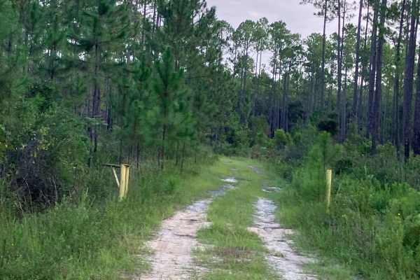
Y15
Y15 connects Blue Barnes Road to the north with Fisher Old Miller Road to the south. Multiple spurs and side trails branch off the main route, offering opportunities to explore. The trail is a casual drive for most 4WD vehicles with no standing water or mud holes. Deep sand in several areas is the m...
Learn more about Y15
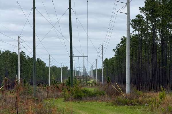
J 54
Forest Road J 54 connects Boundary Line Road at the west end and FR J 57 at the east end. It is a 2-mile-long trail that takes you through the southeast part of the Blackwater River State Forest and gives you access to several OHV and off-road trails. The west part of the trail takes you along the p...
Learn more about J 54
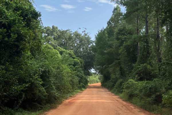
Paul Barnes Road
Paul Barnes Road connects Cold Water Horse Trail to the north with Springhill Road to the south. This well-maintained route consists of packed sand and gravel and provides a reliable alternative during wet weather. With no mud holes or water crossings, the route remains manageable when conditions de...
Learn more about Paul Barnes Road
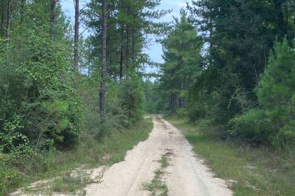
W56
W56 is a mostly sandy forest trail that connects Paul Barnes Rd and Springhill Road. Deep, sandy, straight stretches and some small ruts may be present when traveling north or south along this stretch of road. The trail is a casual drive for most 4WD vehicles, with no standing water or mud holes.
Learn more about W56
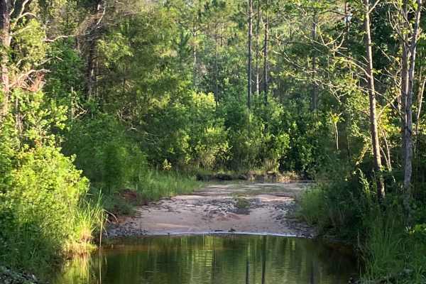
Y16
Y16 is a single-lane route offering a moderate ride through the Yellow River Wildlife Area. It is a narrow road that straddles the swamps, so there will be water present in some areas. The water crossing normally runs at about 6-8 inches. The trail has direct access to the Yellow River.
Learn more about Y16
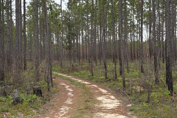
J 56
Forest Road J 56 connects Boundary Line Road at the west end and Johnny Parker Road at the east end. It is a 2-mile-long trail that takes you through the southeast part of the Blackwater River State Forest and gives you access to several OHV and off-road trails. The road conditions are a mixture of ...
Learn more about J 56
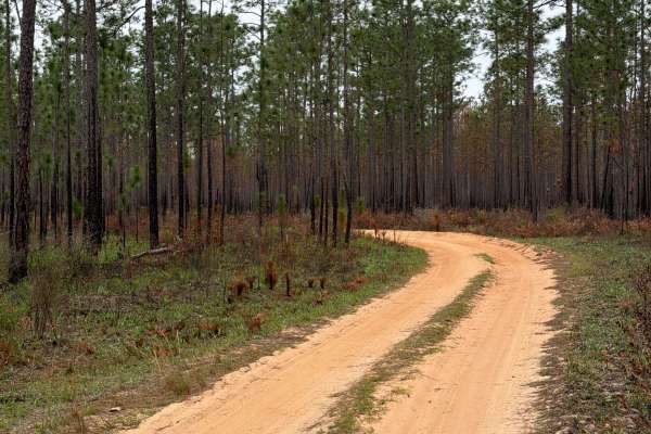
J 46
Forest Road J 46 is a dead-end road that starts at Boundary Line Road. It is a 2-mile-long trail that takes you through the southeast part of the Blackwater River State Forest and gives you access to several OHV and off-road trails, and ends at a beautiful swimming area and kayak launch. The road co...
Learn more about J 46
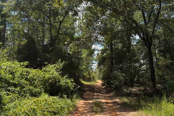
FS J2
Forest Road J 2 is a dead-end road that starts at Red Rock Road. The trail takes you through the southwest part of the Blackwater River State Forest. It gives you access to several trails in the area and follows the Mill Creek from the prairie into the forest. The road conditions are a mixture of pa...
Learn more about FS J2
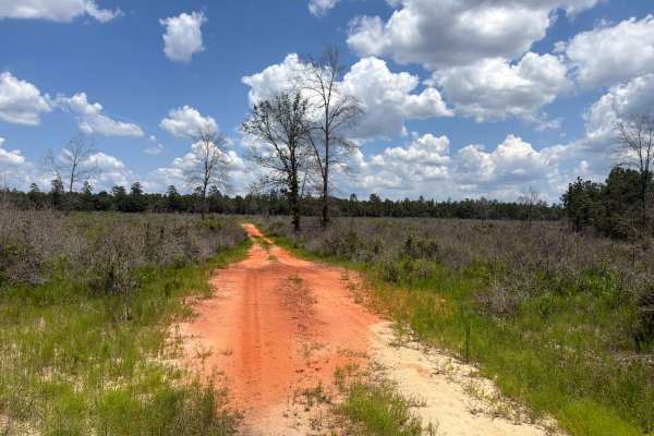
Prairie Trail
Prairie Trail is a short dead-end road that starts at Forest Road J 2. The trail takes you through the southwest part of the Blackwater River State Forest. It gives you access to the prairie in the forest. The road conditions are a mixture of packed sand, loose sand, and some deep holes that can tur...
Learn more about Prairie Trail
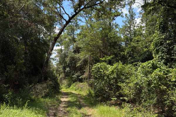
FS J4
Forest Road J4 is an access road that starts at Paulk Road. The trail takes you through the southwest part of the Blackwater River State Forest. It gives you access to several trails in the area and follows the Mill Creek from the prairie into the forest. The road conditions are a mixture of packed ...
Learn more about FS J4
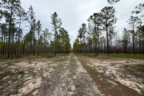
J 57
Forest Road J 57 is a dead end road that starts at the Johnny Parker Road. It is a 2 miles long trail that takes you through the south east part of the Blackwater River State Forest and gives you access to several OHV and off-road trails and a hiking trail down to Blackwater River. The road conditio...
Learn more about J 57
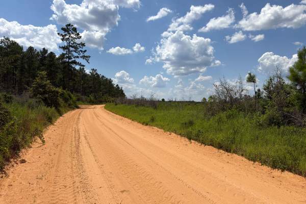
Paulk Road
Paulk Road is an access road that starts at Red Rock Road. The trail takes you through the southwest part of the Blackwater River State Forest. It gives you access to Forest Road J4. The road conditions are a mixture of packed sand, loose sand, and some deep holes that can turn into 1-foot-deep mud ...
Learn more about Paulk Road
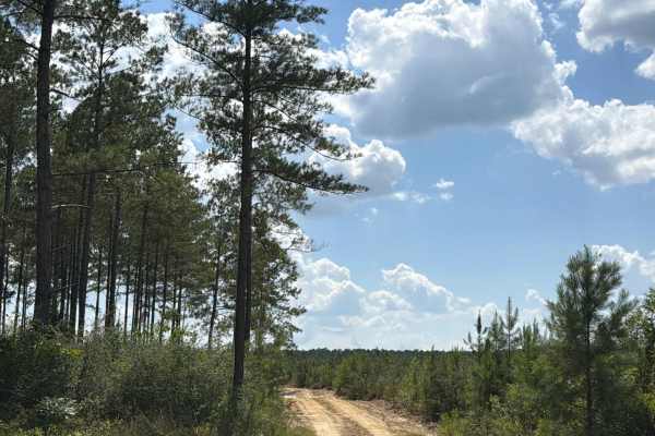
FS F16
Forest Road F16 connects Lee Hill Road at the east end and CR-191 at the west end. The trail takes you through the southwest part of the Blackwater River State Forest and gives you access to several trails in the area. The road conditions are a mixture of packed sand, loose sand, and some deep holes...
Learn more about FS F16
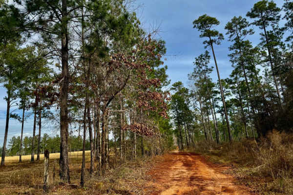
J39
This chill and scenic trail winds through a beautiful landscape, hugging the edge of private land. The route is mostly easygoing, but be prepared for a few deep mud holes that can add a bit of excitement, especially after rain. A peaceful ride with great views and a touch of adventure, this trail is...
Learn more about J39
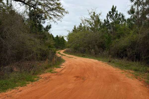
J 61
Forest Road J 61 is a dead-end road that starts at Bob Pitts Road. It is a 2.3-mile-long trail that takes you through the southeast part of the Blackwater River State Forest and takes you to a camping and swimming spot at the Blackwater River. The road conditions are a mixture of packed sand, loose ...
Learn more about J 61
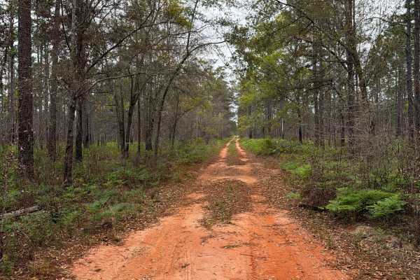
J 50
Forest Road J 50 connects Boundary Line Road at the west end and Johnny Parker Road at the east end. It is a 3-mile-long trail that takes you through the southeast part of the Blackwater River State Forest and gives you access to several OHV and off-road trails. The road conditions are a mixture of ...
Learn more about J 50
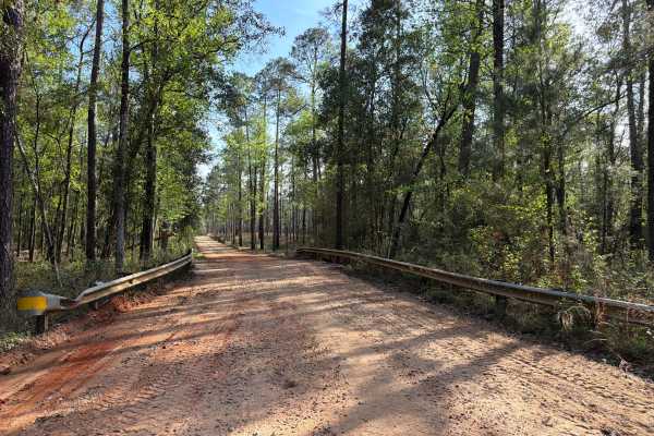
Three Notch Trail
The Three Notch Trail connects CR 191 at the north end and Buddy Hardy Road at the south end. It is a 14-mile-long road that takes you through the north-west part of the Blackwater River State Forest and gives you access to countless trails along the Coldwater Creek District and a natural spring. Th...
Learn more about Three Notch Trail
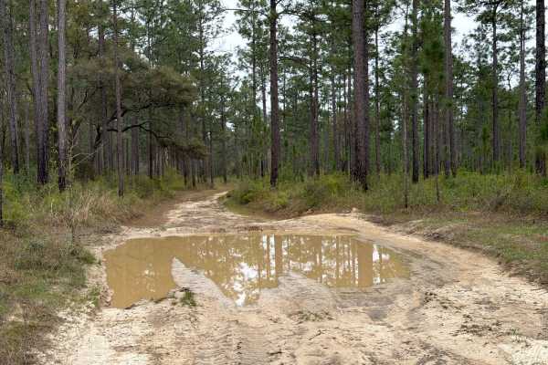
J 81
Forest Road J 81 is a dead-end road that starts at Bob Pitts Road. It is a short trail that takes you through the southeast part of the Blackwater River State Forest and gives you access to several OHV and off-road trails along the Shingle Branch, and ends at a hiking trail to the Blackwater River. ...
Learn more about J 81
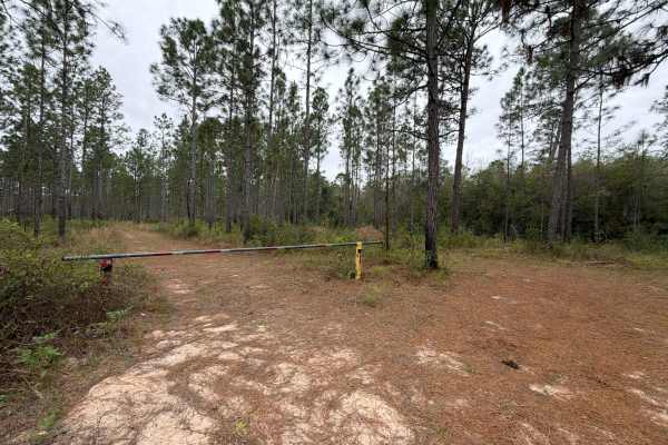
J 121
Forest Road J 121 is a dead-end road that starts at Bob Pitts Road. It is a short trail that takes you through the southeast part of the Blackwater River State Forest and gives you access to several OHV and off-road trails along the Shingle Branch, and ends at a hiking trail to the Blackwater River....
Learn more about J 121
Beginner ATV trails near Bagdad, Florida
Explore ATV-friendly trails near you. These trails are accessible for vehicles up to 50 inches wide, perfect for ATVs and smaller off-road machines.
J 54
Forest Road J 54 connects Boundary Line Road at the west end and FR J 57 at the east end. It is a 2-mile-long trail that takes you through the southeast part of the Blackwater River State Forest and gives you access to several OHV and off-road trails. The west part of the trail takes you along the p...
Learn more about J 54
J 56
Forest Road J 56 connects Boundary Line Road at the west end and Johnny Parker Road at the east end. It is a 2-mile-long trail that takes you through the southeast part of the Blackwater River State Forest and gives you access to several OHV and off-road trails. The road conditions are a mixture of ...
Learn more about J 56
J 46
Forest Road J 46 is a dead-end road that starts at Boundary Line Road. It is a 2-mile-long trail that takes you through the southeast part of the Blackwater River State Forest and gives you access to several OHV and off-road trails, and ends at a beautiful swimming area and kayak launch. The road co...
Learn more about J 46
FS J2
Forest Road J 2 is a dead-end road that starts at Red Rock Road. The trail takes you through the southwest part of the Blackwater River State Forest. It gives you access to several trails in the area and follows the Mill Creek from the prairie into the forest. The road conditions are a mixture of pa...
Learn more about FS J2
Beginner UTV/side-by-side trails near Bagdad, Florida
Find UTV and side-by-side trails near you. These trails accommodate vehicles up to 60 inches wide, ideal for UTVs, side-by-sides, and wider off-road rigs.
J 54
Forest Road J 54 connects Boundary Line Road at the west end and FR J 57 at the east end. It is a 2-mile-long trail that takes you through the southeast part of the Blackwater River State Forest and gives you access to several OHV and off-road trails. The west part of the trail takes you along the p...
Learn more about J 54
J 56
Forest Road J 56 connects Boundary Line Road at the west end and Johnny Parker Road at the east end. It is a 2-mile-long trail that takes you through the southeast part of the Blackwater River State Forest and gives you access to several OHV and off-road trails. The road conditions are a mixture of ...
Learn more about J 56
J 46
Forest Road J 46 is a dead-end road that starts at Boundary Line Road. It is a 2-mile-long trail that takes you through the southeast part of the Blackwater River State Forest and gives you access to several OHV and off-road trails, and ends at a beautiful swimming area and kayak launch. The road co...
Learn more about J 46
FS J2
Forest Road J 2 is a dead-end road that starts at Red Rock Road. The trail takes you through the southwest part of the Blackwater River State Forest. It gives you access to several trails in the area and follows the Mill Creek from the prairie into the forest. The road conditions are a mixture of pa...
Learn more about FS J2
The onX Offroad Difference
onX Offroad combines trail photos, descriptions, difficulty ratings, width restrictions, seasonality, and more in a user-friendly interface. Available on all devices, with offline access and full compatibility with CarPlay and Android Auto. Discover what you're missing today!
Open Trail Map