
Beginner Off-Road Trails
Near Austin, Pennsylvania
Explore All Beginner Trails Near Austin, Pennsylvania
Beginner Off-Road Trails Near Austin, Pennsylvania
Discover the best beginner-friendly off-road trails near you. These easier, lower-rated trails are a great place to start — browse trail maps, check difficulty ratings, and find your next adventure.
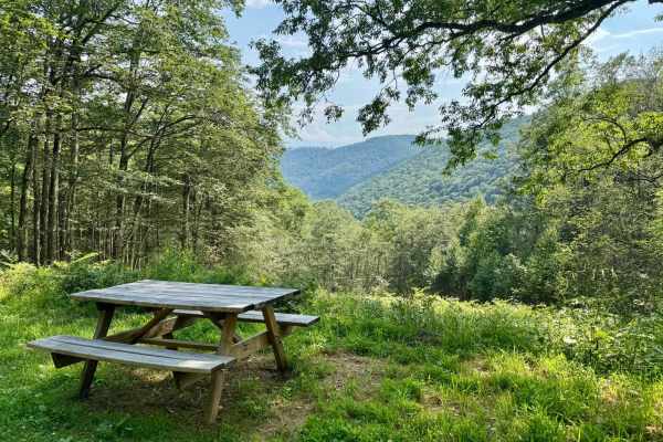
Elevenmile Road
This is classified as an "improved dirt road" in Susquehannock State Forest, so expect primarily gravel and packed dirt that, in ideal conditions, will be passable by all vehicles. This trail runs north/south through a tract of the forest south of Coudersport and connects Little Moores Run Rd to the...
Learn more about Elevenmile Road

Hunts Run Road
This major connector trail links the highway to the Ridge Rambler track, providing a well-maintained route through the area’s scenic forests. The surface is loose gravel but well-maintained, and the trail sees a fair amount of traffic. Like many trails in the region, it follows a meandering creek fo...
Learn more about Hunts Run Road
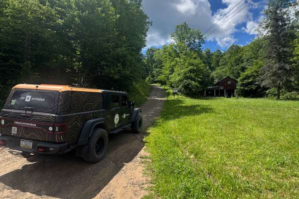
Wild Boy Road
Wild Boy Road is primarily a graded gravel road. It is an easy ride in the summer months; however, there is no winter maintenance. During times of rain, snow, and ice, the road can become rutted and harder to travel on. Wild Boy Road is within Susquehannock State Forest. There are numerous spots to ...
Learn more about Wild Boy Road
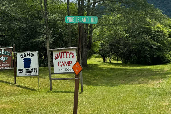
Pine Island Road
Pine Island Road is primarily a graded gravel road. It is an easy ride in the summer months; however, there is no winter maintenance. During times of rain, snow, and ice, the road can become rutted and harder to travel on. Pine Island Road is within Susquehannock State Forest. There are numerous spo...
Learn more about Pine Island Road

Bailey Run Road
Bailey Run Road is primarily a graded gravel road. It is an easy ride in the summer months; however, there is no winter maintenance. During times of rain, snow, and ice, the road can become rutted and harder to travel on. Bailey Run Road is within Susquehannock State Forest. There are numerous spots...
Learn more about Bailey Run Road
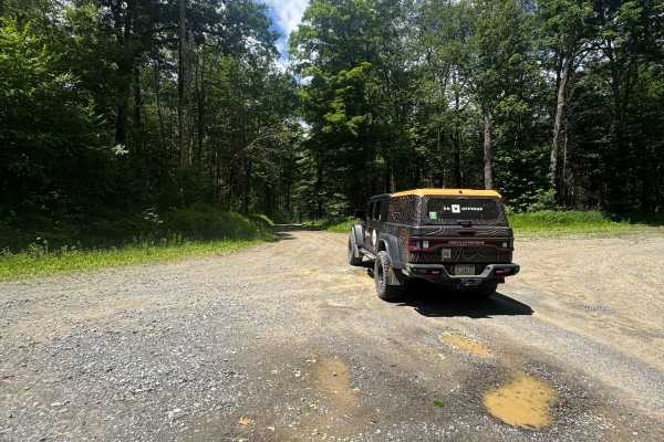
Nelson Run Road
Nelson Run Road is primarily a graded gravel road. It is an easy ride in the summer months; however, there is no winter maintenance. During times of rain, snow, and ice, the road can become rutted and harder to travel on. Nelson Run Road is within Susquehannock State Forest. There are numerous spots...
Learn more about Nelson Run Road

Mahon Run Road
Mahon Run Road is primarily a graded gravel and dirt road. It dead ends to the south at the private property line when the State Forest Ends. It is an easy ride in the summer months; however, there is no winter maintenance. During times of rain, snow, and ice, the road can become rutted and harder t...
Learn more about Mahon Run Road
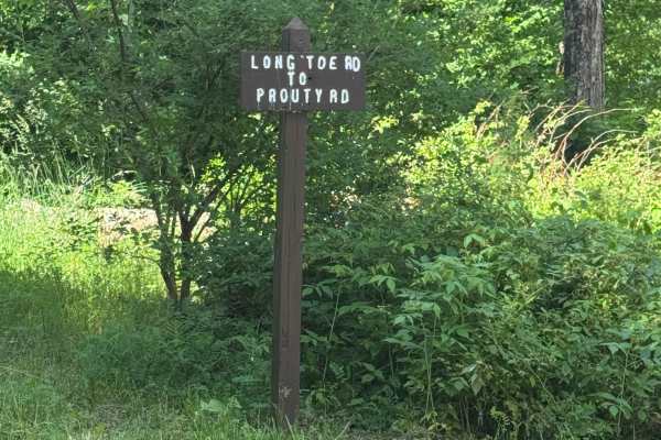
Long Toe Road
Long Toe Road is primarily a graded gravel road. It is an easy ride in the summer months; however, there is no winter maintenance. During times of rain, snow, and ice, the road can become rutted and harder to travel on. Long Toe Road is within Susquehannock State Forest. There are numerous spots to ...
Learn more about Long Toe Road
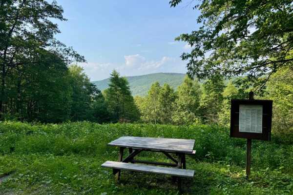
Trout Run Road
This is classified as an "improved dirt road" in Susquehannock State Forest, so expect primarily gravel and packed dirt that, in ideal conditions, will be passable by all vehicles. This trail runs north/south through the southwest corner of the main tract of the forest along the western edge of the ...
Learn more about Trout Run Road
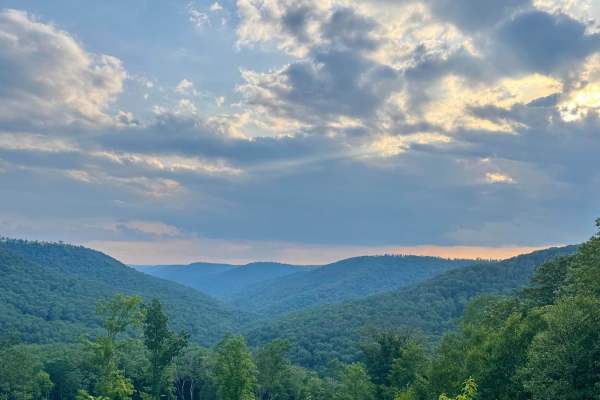
McConnell Road
This is classified as an "improved dirt road" in Susquehannock State Forest, so expect primarily gravel and packed dirt that, in ideal conditions, will be passable by all vehicles. This trail runs along the northern part of the Hammersley Wild Area and has beautiful views of this part of the forest....
Learn more about McConnell Road

Whitehead Road
Whitehead Road connects Ridge Rambler Road to Hunts Run Road. Though short, this scenic track packs in everything the area trails have to offer. Steep climbs and descents, meandering creeks that run along the trail edges, and tight switchbacks. A highlight of the route is a bridge that crosses a cas...
Learn more about Whitehead Road
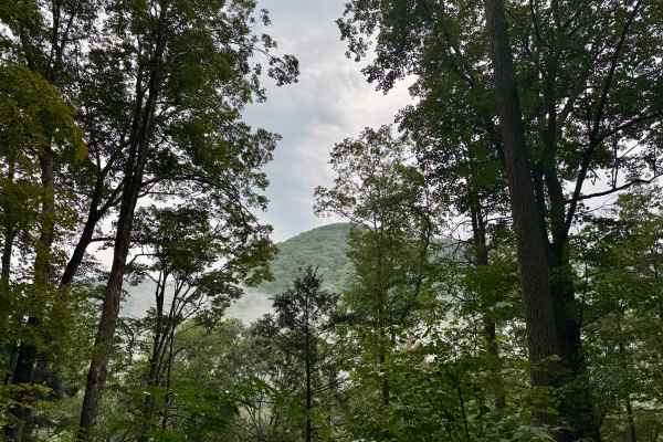
Montour Road
A long, scenic, and varied forest road through parts of Elk, Susquehannock, and Sproul State Forests. At almost 19 miles, it has a bit of everything, including some nice dispersed motorized camp sites (reservation required), a vista, and transitions from dense deciduous forest to clearings to dense ...
Learn more about Montour Road
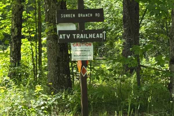
Sunken Branch Road
Sunken Branch Road is primarily a graded gravel road. It is an easy ride in the summer months; however, there is no winter maintenance. During times of rain, snow, and ice, the road can become rutted and harder to travel on. Sunken Branch Road is within Susquehannock State Forest. There are numerous...
Learn more about Sunken Branch Road
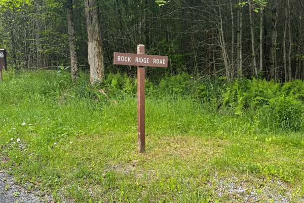
Rock Ridge Road
Rock Ridge Road is primarily a graded gravel road. It is an easy ride in the summer months; however, there is no winter maintenance. During times of rain, snow, and ice, the road can become rutted and harder to travel on. Rock Ridge Road is within Susquehannock State Forest. There are numerous spots...
Learn more about Rock Ridge Road
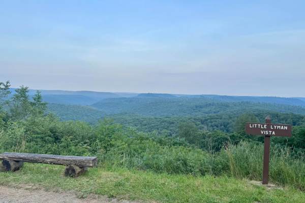
Horton Run Road
This is classified as an "improved dirt road" in Susquehannock State Forest, so expect primarily gravel and packed dirt that, in ideal conditions, will be passable by all vehicles. The trail is southwest of Cherry Springs State Park. This particular trail is not legal for SxS, ATV, etc, though the f...
Learn more about Horton Run Road
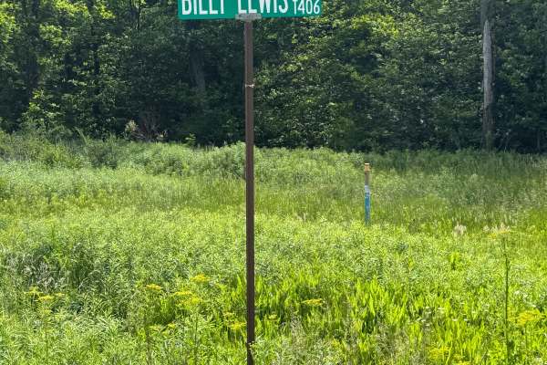
Billy Lewis Road
Billy Lewis Road is primarily a graded gravel road. It is an easy ride in the summer months; however, there is no winter maintenance. During times of rain, snow, and ice, the road can become rutted and harder to travel on. Billy Lewis Road is within Susquehannock State Forest. There are numerous spo...
Learn more about Billy Lewis Road

Stillhouse Road
Stillhouse Road is a state forest route that connects Highway 120 to the Ridge Rambler Trail, serving as an easy and scenic link between the two. Along the route, you’ll find views down into the ravine that holds Stillhouse Run, providing a scenic backdrop to an otherwise easy ride.
Learn more about Stillhouse Road
Junction Road
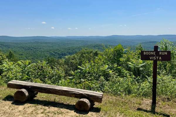
This is classified as an "improved dirt road" in Susquehannock State Forest, so expect primarily gravel and packed dirt that, in ideal conditions, will be passable by all vehicles. The trail is southeast of Cherry Springs State Park. This particular trail is not legal for SxS, ATV, etc, though the f...
Learn more about Junction Road
West Hicks Run Road
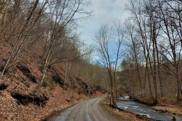
The Hicks Run West Road follows both the West branch of the Hicks Run waterway. This mixed hard-packed crushed stone / packed dirt road is well-maintained and offers plenty of chances to pull off and fish or explore the woods all around you. There are a couple of designated campsites along the route...
Learn more about West Hicks Run Road
Ridge Rambler
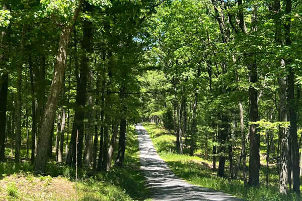
Ridge road can be taken from either end, if entering from the RT120 side you will encounter a steep climb up about 1250 feet as the gravel road takes you to the top of the ridge. While this road offers no real challenges as any vehicle can make this trip it does offer some of the most amazing views ...
Learn more about Ridge Rambler
Beginner ATV trails near Austin, Pennsylvania
Explore ATV-friendly trails near you. These trails are accessible for vehicles up to 50 inches wide, perfect for ATVs and smaller off-road machines.
Sandy Run Road
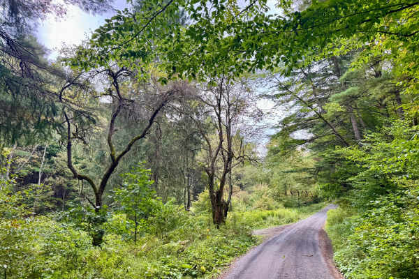
Another scenic gravel forest road in Sproul State Forest. It hugs Sandy Run for most of its length. There are two dispersed motorized campsites, reservations required via Reserve America, near the north end. There are also several hunting camps/cabins along the way. It stays in the valley until Hens...
Learn more about Sandy Run Road
Summerson Road
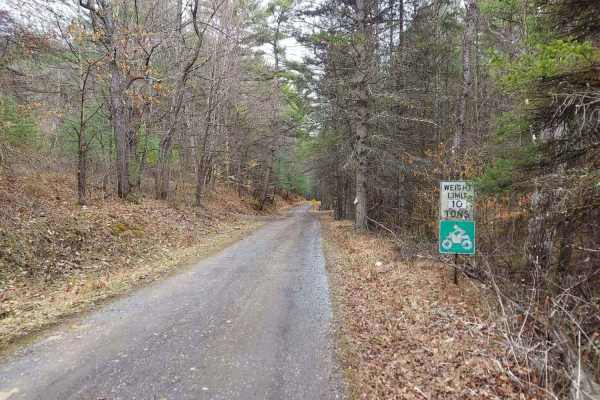
Summerson Road is an ATV/SXS legal connector route that branches off the main highway and leads to two notable points of interest in the area. The track winds its way through a thick conifer forest, creating a secluded and immersive ride. A creek meanders alongside much of the route, adding to the s...
Learn more about Summerson Road
Pfoutz Valley Rd
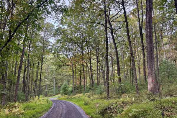
This scenic gravel road is called Summerson Mountain Road at the South end where it's accessed via the paved road of the same name and, aptly, is at the peak of Summerson Mountain. As it enters Sproul State Forest, it's designated as Pfoutz Valley Road. It gently climbs for most of that length throu...
Learn more about Pfoutz Valley Rd
Coudy Pike Trail North
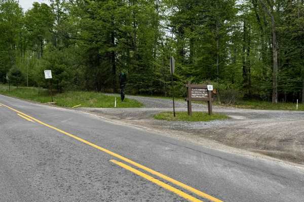
Coudy Pike Trail North is a graded gravel access road that allows for powersport vehicle travel from different parts of this region. It is an easy ride in the summer months. During times of rain, the road can become rutted and harder to travel on. Coudy Pike Trail South is within Susquehannock and T...
Learn more about Coudy Pike Trail North
Beginner UTV/side-by-side trails near Austin, Pennsylvania
Find UTV and side-by-side trails near you. These trails accommodate vehicles up to 60 inches wide, ideal for UTVs, side-by-sides, and wider off-road rigs.
Summerson Road
Summerson Road is an ATV/SXS legal connector route that branches off the main highway and leads to two notable points of interest in the area. The track winds its way through a thick conifer forest, creating a secluded and immersive ride. A creek meanders alongside much of the route, adding to the s...
Learn more about Summerson Road
Coudy Pike Trail North
Coudy Pike Trail North is a graded gravel access road that allows for powersport vehicle travel from different parts of this region. It is an easy ride in the summer months. During times of rain, the road can become rutted and harder to travel on. Coudy Pike Trail South is within Susquehannock and T...
Learn more about Coudy Pike Trail North

C Green C6 C8 C9
C is an average easier trail at Majestic trails. Expect a nice wide trail with beautiful forests and historic remnants of the oil industry in Pennsylvania. C makes a loop starting and ending at B trail so this makes choosing this trail less risky as it returns back near the start.
Learn more about C Green C6 C8 C9
D Green D1- D8
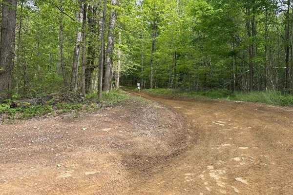
D is full of shallow but seemingly firm-bottomed puddles. Mix in some twists and turns with a downhill, and it is a good time. This trail naturally leads the rider back towards the parking area. It can be used as a good route to loop and see the property.
Learn more about D Green D1- D8
The onX Offroad Difference
onX Offroad combines trail photos, descriptions, difficulty ratings, width restrictions, seasonality, and more in a user-friendly interface. Available on all devices, with offline access and full compatibility with CarPlay and Android Auto. Discover what you're missing today!
Open Trail Map